561
FNAK71 PAFC 051637
FWSAER
Spot Forecast for WRST Pile Burn...NPS
National Weather Service Anchorage AK
837 AM AKDT Sun Apr 5 2026
Forecast is based on ignition time of 0900 AKDT on April 05.
.DISCUSSION...
Dry conditions with intermittent cloud cover are expected to
persist through Monday. Multiple upper level disturbances moving
northwest from the Gulf will support a slight chance of a snow
shower or two through this evening, but the majority of this
activity will likely stay to the south of the Chugach Mountains.
Expect winds to stay light and variable, generally 5 mph or less
near ground level through Monday. There is some potential for
northerly winds around 10 to 15 mph to mix down into the Chitina
River valley during the afternoon hours, but expect gustier winds
to mostly stay over the Wrangell Mountains through this evening.
.REST OF TODAY...
Sky/weather.........Mostly sunny (30-40 percent).
CWR.................0 percent.
Chance of pcpn......10 percent.
Tstm Coverage.......None.
Max temperature.....Around 40.
Min humidity........44 percent.
Wind (20 ft)........Southeast winds around 5 mph shifting to northeast
in the afternoon.
Mixing height.......400 ft increasing to 1300 ft AGL in the afternoon.
Transport winds.....Northeast around 5 mph.
Ventilation Rate....Poor (486-611 m^2/s).
Pcpn amount.........0.00 inches.
Snowfall amount.....0.0 inches.
.TONIGHT...
Sky/weather.........Partly cloudy (35-45 percent) then becoming
mostly cloudy (50-60 percent).
CWR.................0 percent.
Chance of pcpn......10 percent.
Tstm Coverage.......None.
Min temperature.....Around 11.
Max humidity........74 percent.
Wind (20 ft)........Light winds.
Mixing height.......1000 ft in the evening decreasing to 400 ft AGL.
Transport winds.....North around 5 mph.
Ventilation Rate....Poor (266-611 m^2/s).
Pcpn amount.........0.00 inches.
Snowfall amount.....0.0 inches.
.MONDAY...
Sky/weather.........Partly sunny (55-65 percent).
CWR.................0 percent.
Chance of pcpn......10 percent.
Tstm Coverage.......None.
Max temperature.....Around 38.
Min humidity........47 percent.
Wind (20 ft)........Light winds.
Mixing height.......400 ft increasing to 1200 ft AGL in the afternoon.
Transport winds.....Southeast around 2 mph.
Ventilation Rate....Poor (141-313 m^2/s).
Pcpn amount.........0.00 inches.
Snowfall amount.....0.0 inches.
$$
Forecaster...Shriver
Requested by...Justin Stramer-Smith
Type of request...PRESCRIBED
.TAG 2608964.1/AER
.DELDT 04/05/26
.FormatterVersion 2.0.0
.EMAIL justin_stramer-smith@nps.gov
Current Passage Canal forecast.
Current Prince William Sound forecast.
Current Cape Suckling to Cape Cleare forecast.
Current Cape Cleare to Gore Point forecast.
Current Barren Islands East forecast.
Current West of the Barren Islands Including Kamishak Bay forecast.
Current Shelikof Strait forecast.
Current Marmot Island to Sitkinak forecast.
Current South of the AK Peninsula Sitkinak to Castle Cape forecast.
Current South of the AK Peninsula Castle Cape to Cape Sarichef forecast.
Current Cape Sarichef to Nikolski Pacific Side forecast.
Current Unalaska Bay forecast.
Current Cape Sarichef to Nikolski Bering Side forecast.
Current Bering Sea Offshore East of 171W forecast.
Current Bering Sea Offshore 171W to 180 and South of 56N forecast.
Click link for current observations map with radar and hazards
Click here for the current surface analysis
Current Area Forecast Discussion
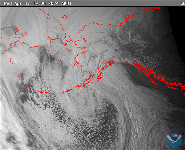
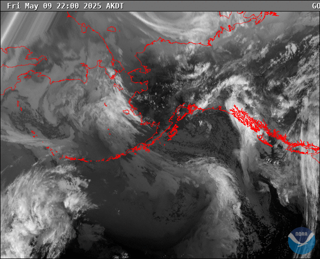
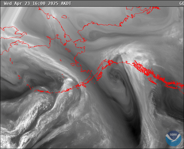
Visible Satellite Loop Infrared Satellite Loop Water Vapor Satellite Loop
This article is no longer valid:

