National Weather Service United States Department of Commerce

Severe Thunderstorms and Heavy Rain Across the Ohio Valley;

Severe thunderstorms with damaging wind gusts will be possible from the mid-Mississippi Valley into parts of the Ohio Valley and central Appalachians. Heavy rain associated with these storms may lead to considerable flash and urban flooding impacts across portions of the Ohio Valley. Mid-summer heat persists from the Central Plains to the Southeast. Read More >

Click a location below for detailed forecast.

Last Map Update: Tue, Aug 11, 2026 at 11:12:26 am CDT

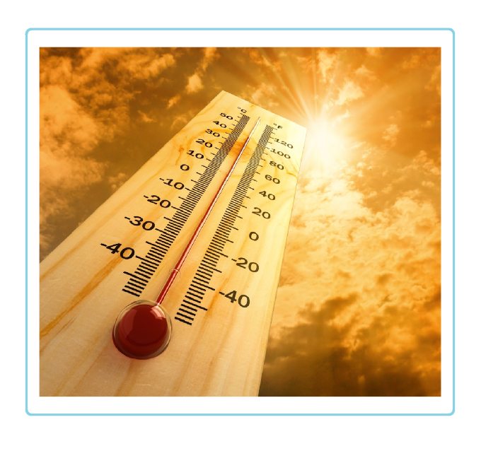
Hot temperatures especially in the northeastern combined Panhandles and Palo Duro Canyon are expected once again.
Hot, dry, and breezy conditions are expected to persist through Wednesday, with temperatures potentially reaching up to 107 degrees. Current trends indicate that the high pressure system will begin to weaken on Thursday, opening the door for an increased chance of storms extending into the weekend. The current chances range from 20 to 50 percent, but could easily change over the next couple of days. Stay tuned for further updates.
Certain vulnerable groups are more sensitive to heat and heat illness. These include the young, the elderly, pregnant women and those with chronic illness. Be sure to check on them and help them get proper hydration or cooling methods if needed.

Text Product Selector (Selected product opens in current window)


Current Observations ( )
Location Sky/Weather Temp (°F) Dewpt (°F) RH (%) Wind (mph) Pressure (inHg) Remarks
 Amarillo
N/A
N/A
N/A
N/A
N/A
N/A
N/A
 Borger
N/A
N/A
N/A
N/A
N/A
N/A
N/A
 Canadian
N/A
N/A
N/A
N/A
N/A
N/A
N/A
 Dalhart
N/A
N/A
N/A
N/A
N/A
N/A
N/A
 Dumas
N/A
N/A
N/A
N/A
N/A
N/A
N/A
 Guymon
N/A
N/A
N/A
N/A
N/A
N/A
N/A
 Hereford
N/A
N/A
N/A
N/A
N/A
N/A
N/A
 Pampa
N/A
N/A
N/A
N/A
N/A
N/A
N/A
 Perryton
N/A
N/A
N/A
N/A
N/A
N/A
N/A
 Amarillo 9NNE
N/A
N/A
N/A
N/A
N/A
N/A
N/A
 Amarillo 7SSE
N/A
N/A
N/A
N/A
N/A
N/A
N/A
 Bootleg 11WNW
N/A
N/A
N/A
N/A
N/A
N/A
N/A
 Canadian 6E
N/A
N/A
N/A
N/A
N/A
N/A
N/A
 Clarendon 2WSW
N/A
N/A
N/A
N/A
N/A
N/A
N/A
 Claude 12SW
N/A
N/A
N/A
N/A
N/A
N/A
N/A
 Hereford 2NW
N/A
N/A
N/A
N/A
N/A
N/A
N/A
 McLean 1E
N/A
N/A
N/A
N/A
N/A
N/A
N/A
 Palo Duro SP
N/A
N/A
N/A
N/A
N/A
N/A
N/A
 Pampa 2E
N/A
N/A
N/A
N/A
N/A
N/A
N/A
 Umbarger 3NNE
N/A
N/A
N/A
N/A
N/A
N/A
N/A
Note: "N/A" or "MISG" will be displayed if values are not available. In the LOCATION column, click on links for a list of recent observations at sites of interest. In the WIND column, VRB is "variable" and G is "gust". In the REMARKS column, HX is "heat index", WCI is "wind chill index", and VSB is "visibility" (if shown).


Aviation Drought Fire Weather Hydrology Severe Weather Winter Weather
 
Climate Graphs Hourly Forecast Long Range Local Model Data Precip Maps Heat
 
Education Local Research News Skywarn Weather Calculator Weather Radio