
Widespread showers and thunderstorms, some severe, may produce heavy downpours and flash flooding across much of the eastern and central U.S. Dangerous heat will continue in the Pacific Northwest and expand across portions of the East. Deep tropical moisture and associated thunderstorms will bring heavy rainfall and localized flash flooding across portions of Florida into the central Gulf Coast. Read More >
Overview
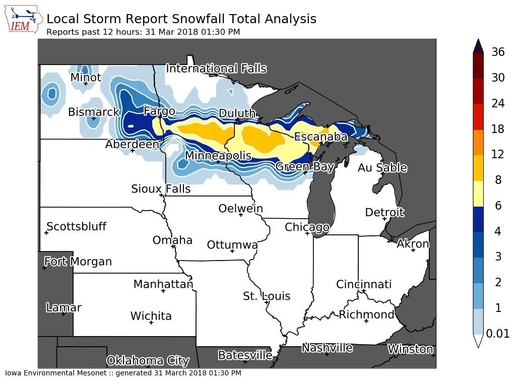
A band of heavy snow fell across Taylor County during the early morning hours of Saturday March 31st. Snowfall amounts of 5 to 8 inches with localized amounts to 9 inches were reported. Further south across Clark County snowfall ranged from 1 inch across southern parts of the county to around 3 inches closer to highway 29.Radar:
 |
|||
| Radar Loop Late Friday Night-Saturday Morning |
Storm Reports
...Snowfall Reports...

Location                     Amount    Time/Date       Lat/Lon

...Wisconsin...

...Clark County...
OWEN 6SSE                    3.0 in    0700 AM 03/31   44.87N/90.51W
2 SSE Longwood               2.0 in    0826 AM 03/31   44.86N/90.59W
6 N Chili                    1.8 in    0710 AM 03/31   44.71N/90.34W

...Taylor County...
Rib Lake                     9.0 in    0900 AM 03/31   45.32N/90.21W
Medford                      8.0 in    0800 AM 03/31   45.13N/90.34W
Lublin                       7.0 in    0838 AM 03/31   45.07N/90.73W
Gad                          7.0 in    0700 AM 03/31   45.14N/90.20W
2 N Dorchester               7.0 in    1048 AM 03/31   45.04N/90.34W
1 WNW Perkinstown            6.5 in    0831 AM 03/31   45.21N/90.64W
1 E Medford                  5.0 in    0715 AM 03/31   45.14N/90.34W

...Trempealeau County...
Osseo                        1.0 in    0700 AM 03/31   44.58N/91.22W

Observations are collected from a variety of sources with varying
equipment and exposures. We thank all volunteer weather observers
for their dedication. Not all data listed are considered official.
 |
Media use of NWS Web News Stories is encouraged! Please acknowledge the NWS as the source of any news information accessed from this site. |
|

