
Numerous severe thunderstorms are expected across a broad region from the Ohio Valley to the Mid-Atlantic and Northeast States today into tonight. Swaths of damaging wind gusts are expected and some tornadoes are possible. Bertha is expected to bring tropical storm conditions to portions of the Gulf Coast from the Florida Panhandle westward to southeastern Louisiana later today and Wednesday. Read More >
Overview
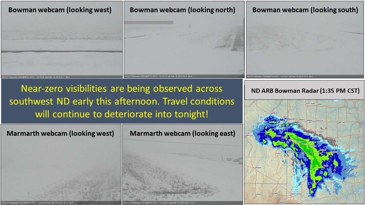
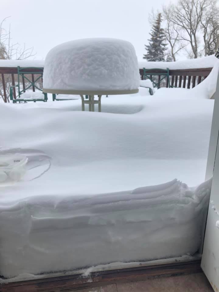
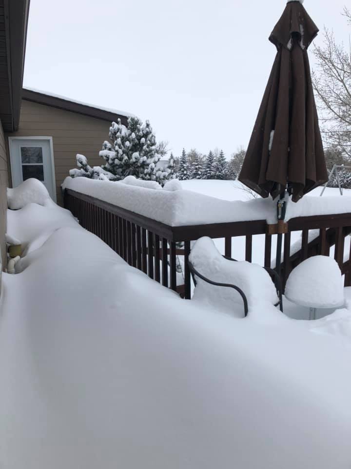
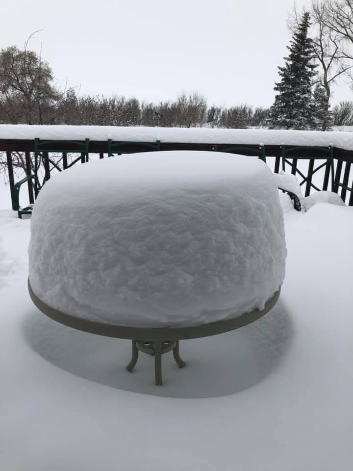
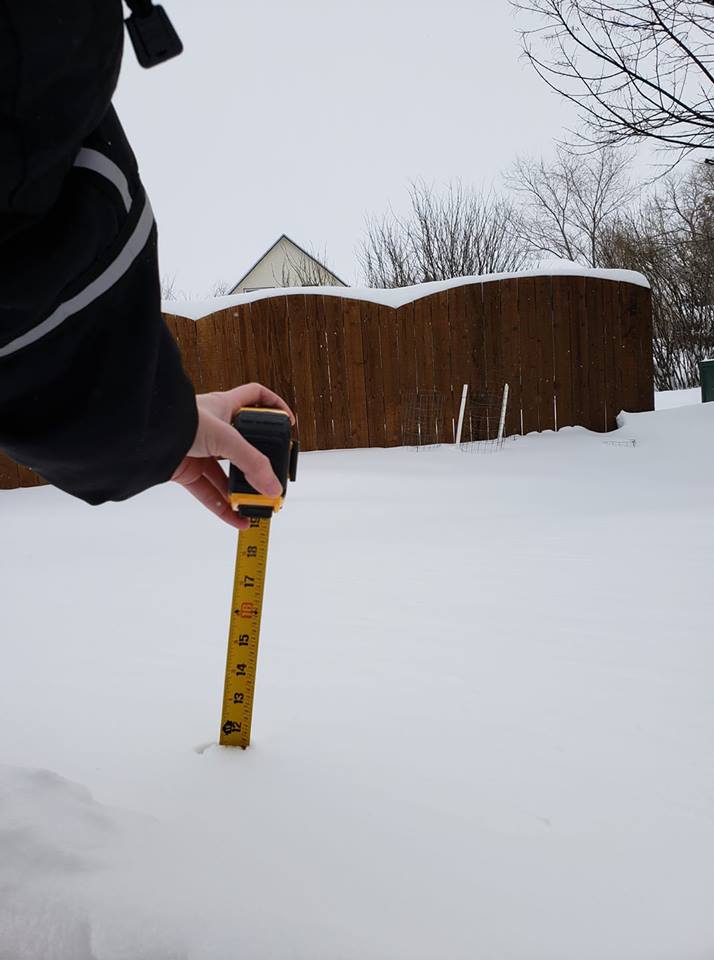
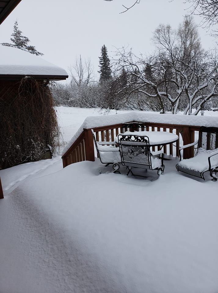
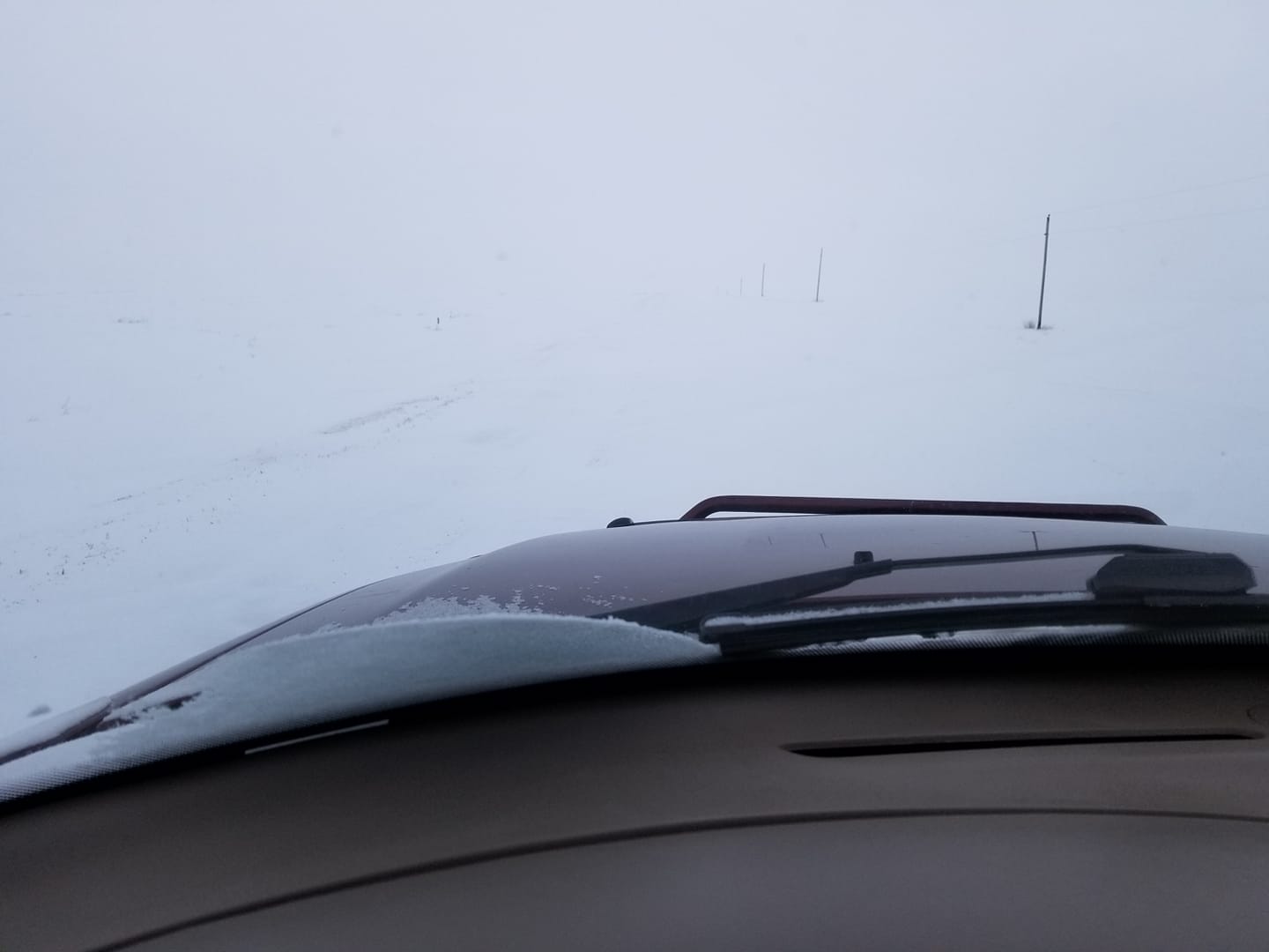
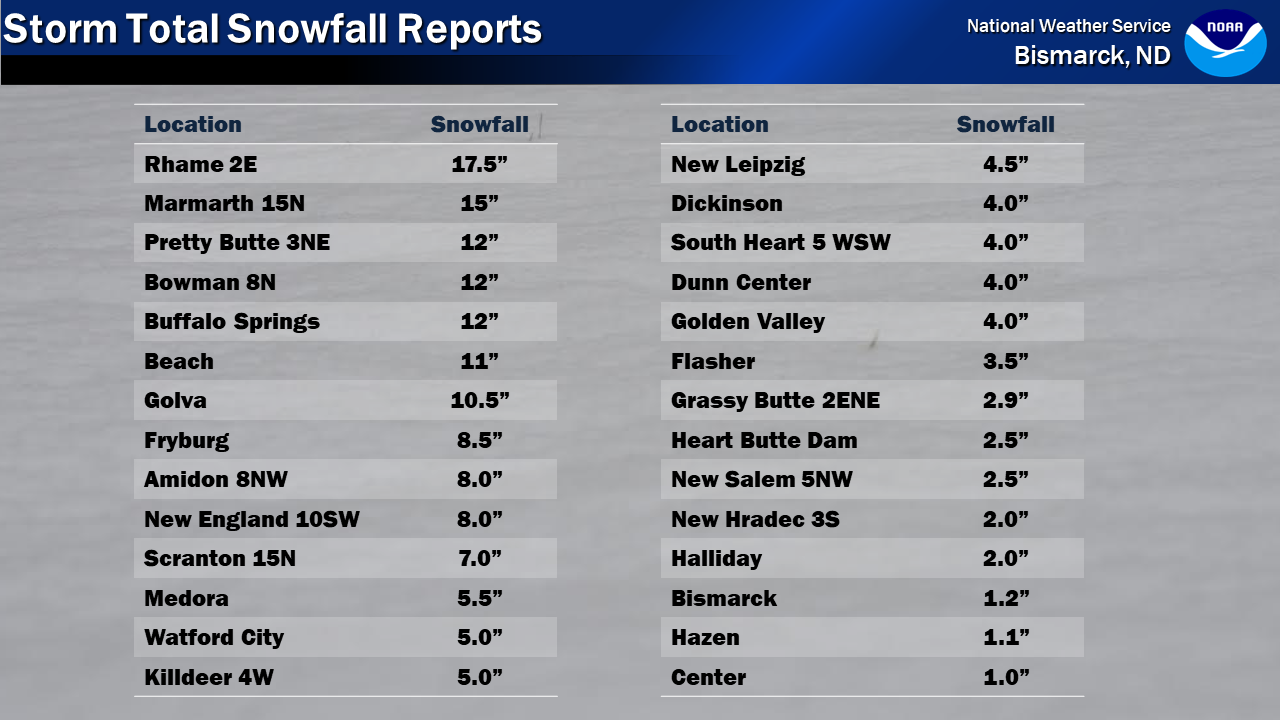
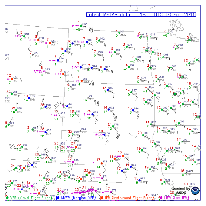
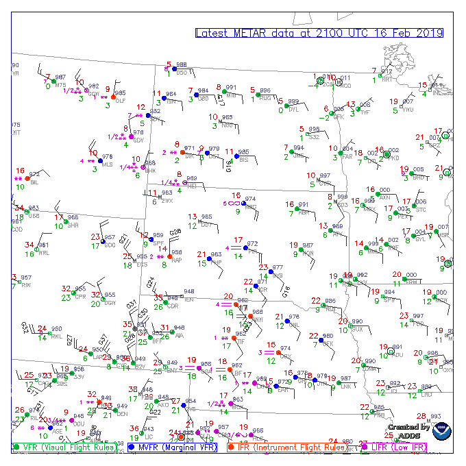
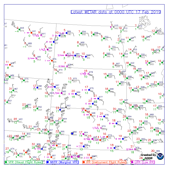
An intense, and narrow band of heavy snow impacted southwest North Dakota beginning Saturday afternoon, February 16th, 2019. Snowfall continued into Sunday, February, 17th, although the intensity of the snow did decrease. Near zero visibility in falling snow with impressive snowfall rates of 1-2" per hour were observed.Satellite
 |
| GOESEast Infrared Band 13 loop of the band of heavy snow Saturday 2/16 |
Photos
 |
 |
 |
 |
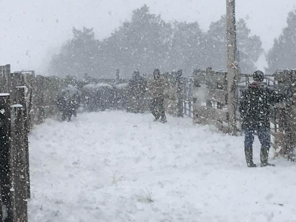
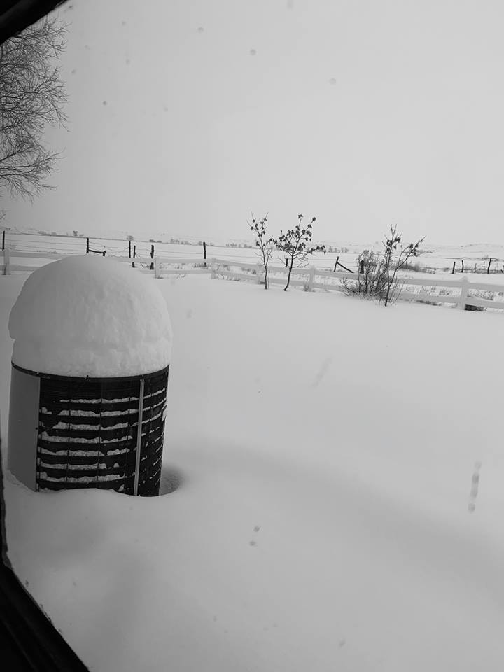
| NDDOT Bowman and Marmarth Webcams and ND ARB Bowman Radar Saturday afternoon 2/16 | Heavy snow north of Bowman Saturday afternoon 2/16 | 15N Marmarth (source: Nikki Brown) |
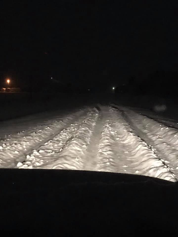
Bowman Saturday Night 2/16 |
 |
 |
 |
 |
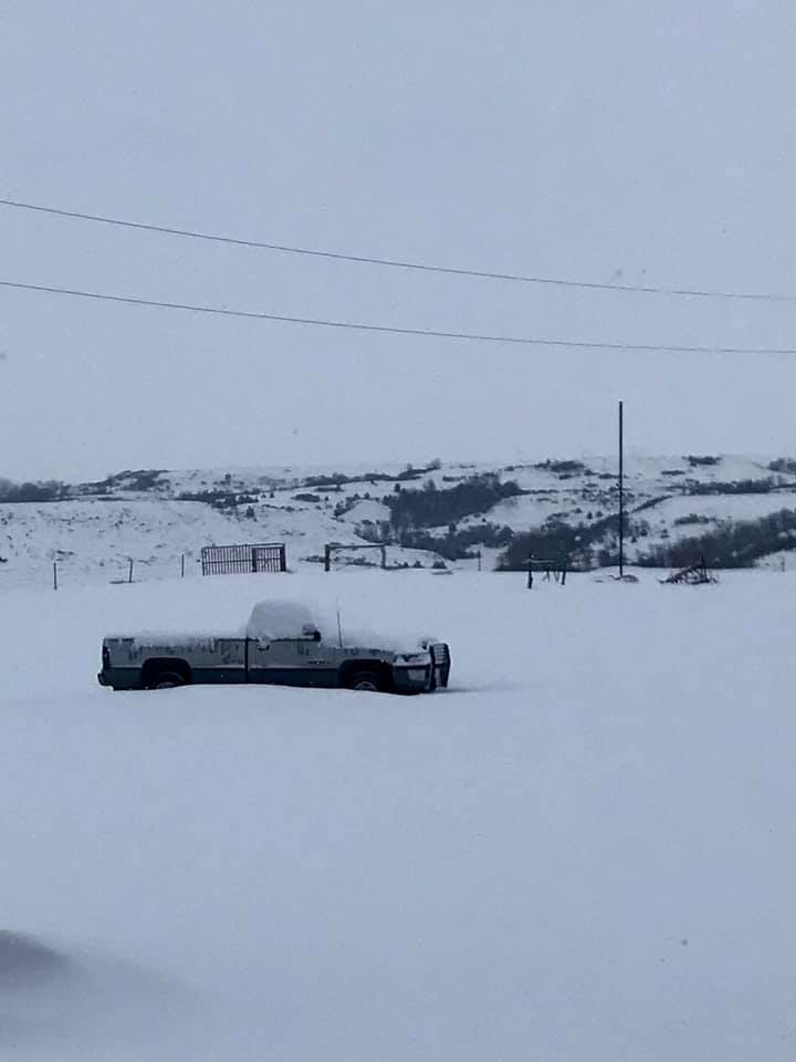 |
| 20SE Beach | 20SE Beach | "Snow Marshmallow" 20SE Beach | Beach | Fryburg |
 |
 |
 |
| Bowman County | 10SW New England | Hwy 3 North Of Grenora (source: Maria Bodnar Madsen) |
Storm Reports
 |
Observations
 |
 |
 |
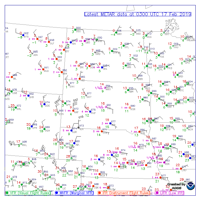 |
| Noon CST 2/16/19 Observations | 3 PM CST 2/16/19 Observations | 6 PM CST 2/16/19 Observations | 9 PM CST 2/16/19 Observations |
 |
 |
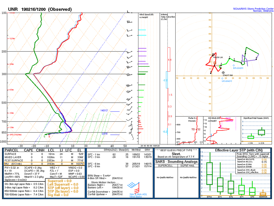
| 6 AM CST 2/16/19 Rapid City sounding featuring very steep lapse rates | 6 PM CST 2/16/19 Rapid City sounding continuing to feature very steep lapse rates supporting intense banding of heavy snow in southwest North Dakota. |
 |
Media use of NWS Web News Stories is encouraged! Please acknowledge the NWS as the source of any news information accessed from this site. |
|

