|
Cold Advisory For Newborn Livestock (CANL)
|
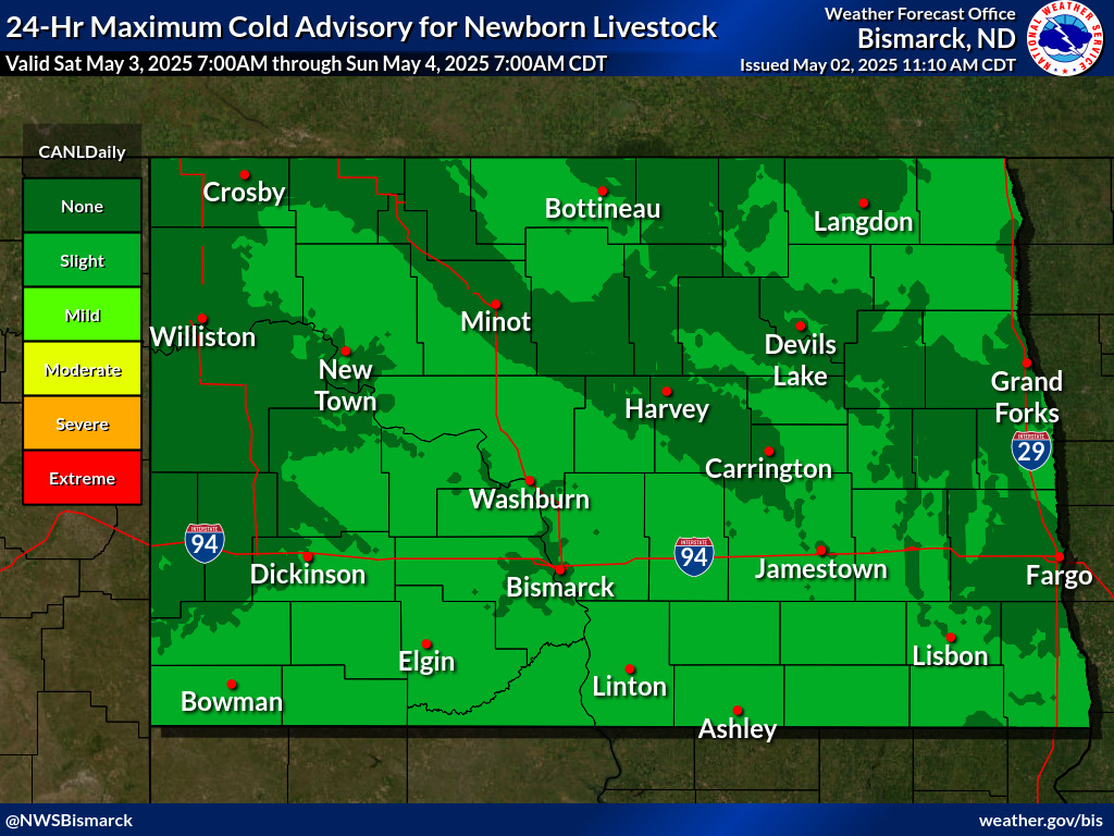
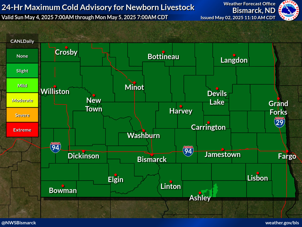
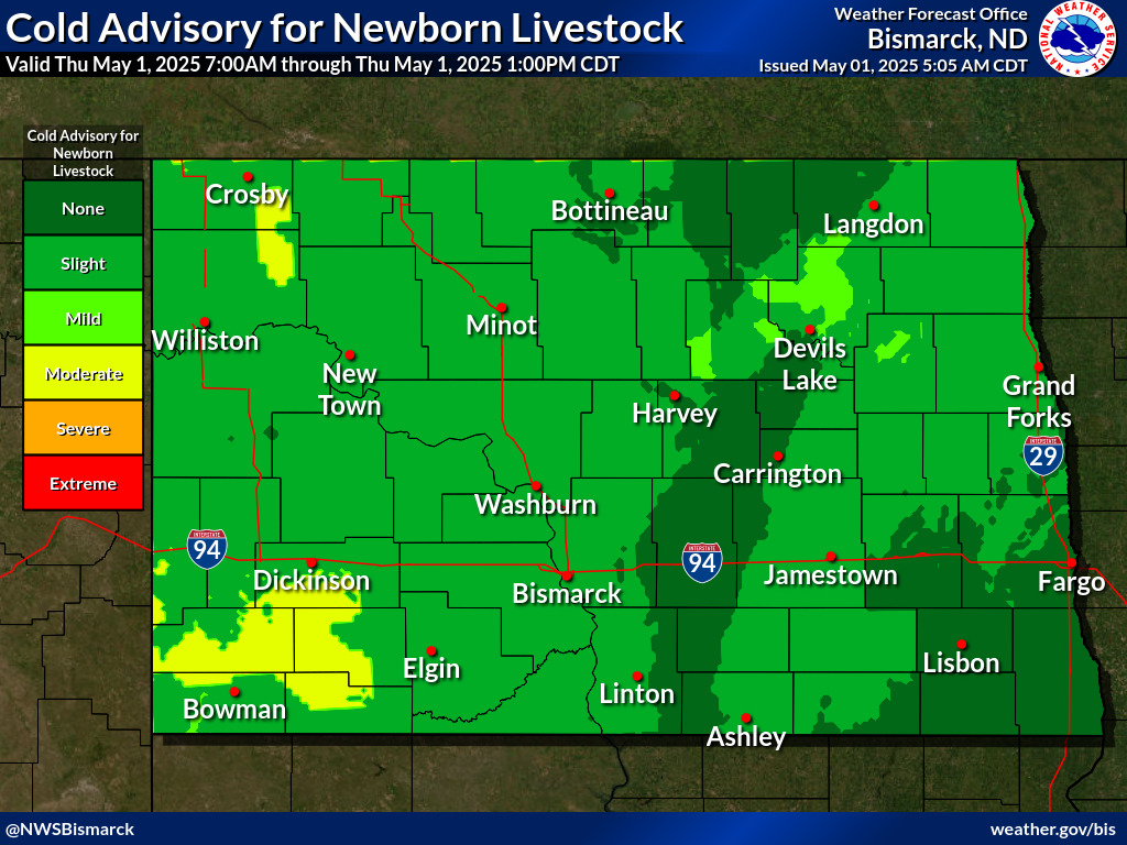
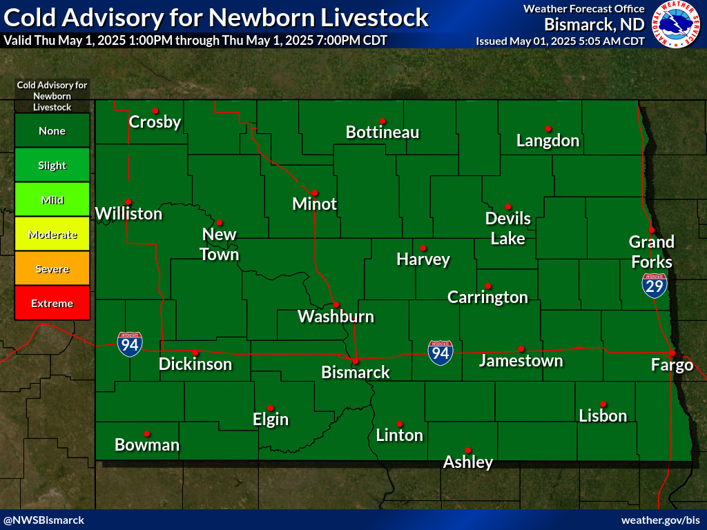
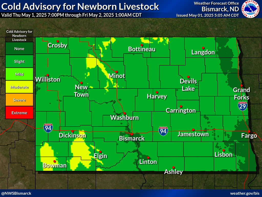
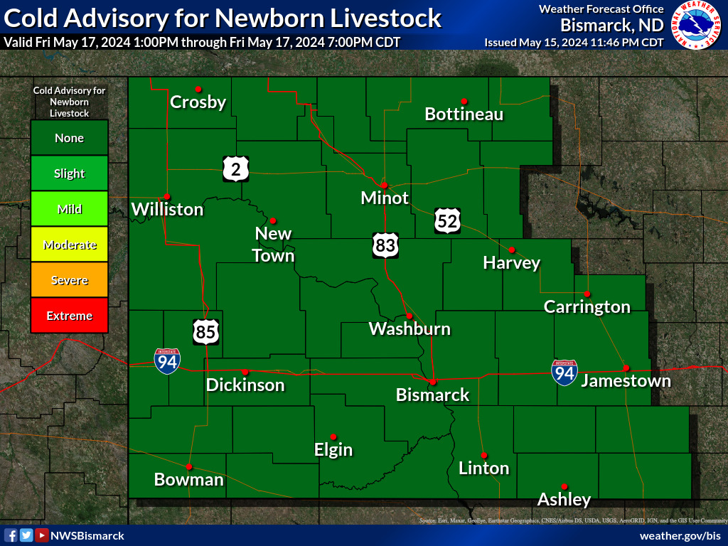
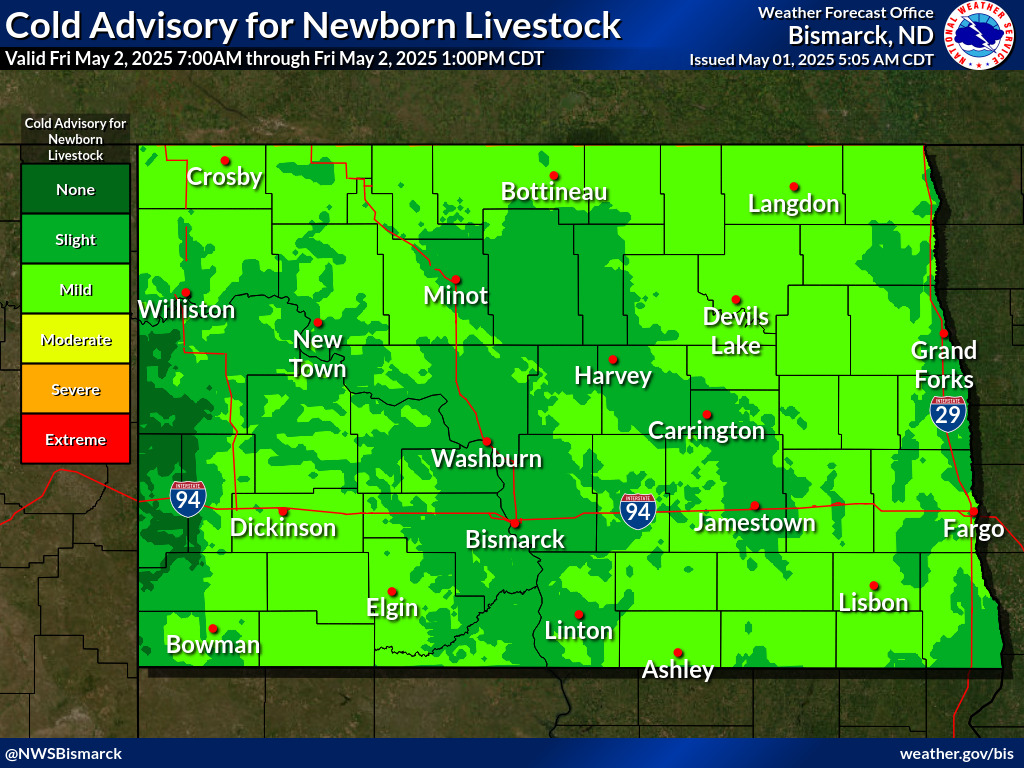
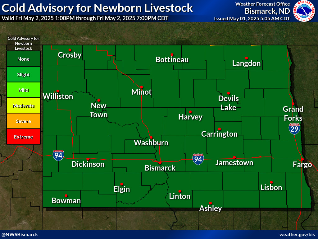
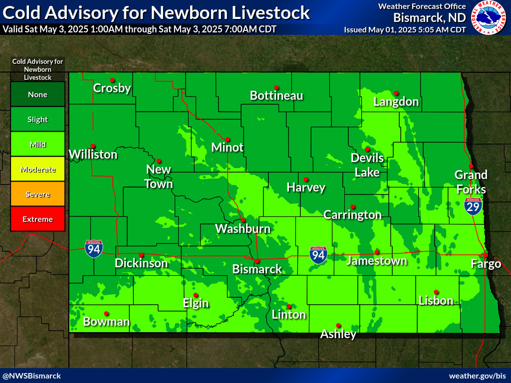
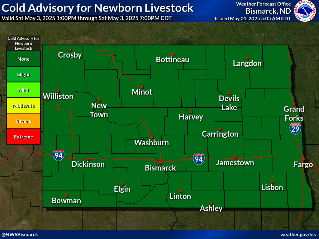
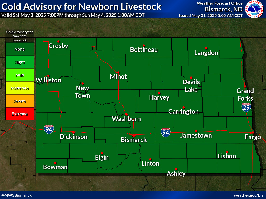
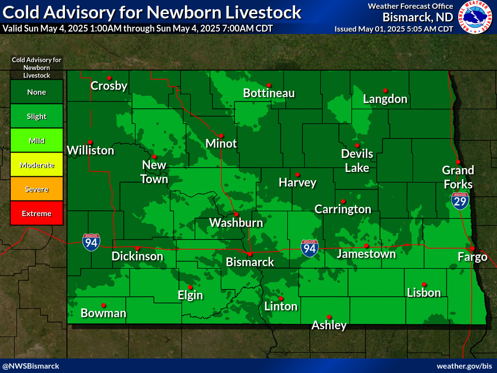
The CANL graphics below show the risk of cold exposure to newborn livestock. The risk is related to wind chill temperature, precipitation, and humidity, and ranges from "NONE" for no risk, to "EXTREME" for rare and particularly dangerous situations. The first set of images are the 24 hour maximums for days 1, 2, and 3. The second set of images are each valid for a 6 hour time period out to 66 hours. Click on the images to expand and see the forecast valid time. The CANL images are updated at least twice daily at 5 am and 5 pm.
|
Day 1 Maximum
|
Day 2 Maximum
|
Day 3 Maximum
|

|
|
|
|
- NONE: Wind Chill above 41 degrees
- SLIGHT: Wind Chill less than 41 degrees for two or more hours
- MILD: Wind Chill less than 32 degrees for two or more hours
- MODERATE: Wind Chill less than 0 degrees for two or more hours or Wind Chill less than 36 degrees for two or more hours and .02" precipitation
- SEVERE: Wind Chill of -9 degrees or colder for two or more hours, or wind chill of less than 34 degrees for two or more hours and .05" of precipitation
- EXTREME: Wind Chill of -18 or colder for two or more hours, or wind chill less than 32 degrees for two or more hours and .1" of precipitation
- For sunny conditions (Cloud cover less than 40%), reduce wind chill thresholds by 10 degrees
- For humid conditions (Minimum relative humidity remaining above 95%), increase wind chill thresholds by 10 degrees
- For dry snow conditions (Maximum temperature remains less than 26F), double the precipitation thresholds for MOD-EXTREME
|
|






 Follow us on X
 Follow us on Facebook
 Follow us on YouTube
 BIS RSS Feed