Tropical Storm Isaias is forecast to track toward the central U.S. Gulf Coast while strengthening into a hurricane on Thursday. Residents from Louisiana to the Florida Panhandle should closely monitor the latest updates. Much higher than typical October temperatures will continue across much of California through midweek. Temperatures are forecast to gradually cool beginning Thursday. Read More >
Bismarck, ND
Weather Forecast Office
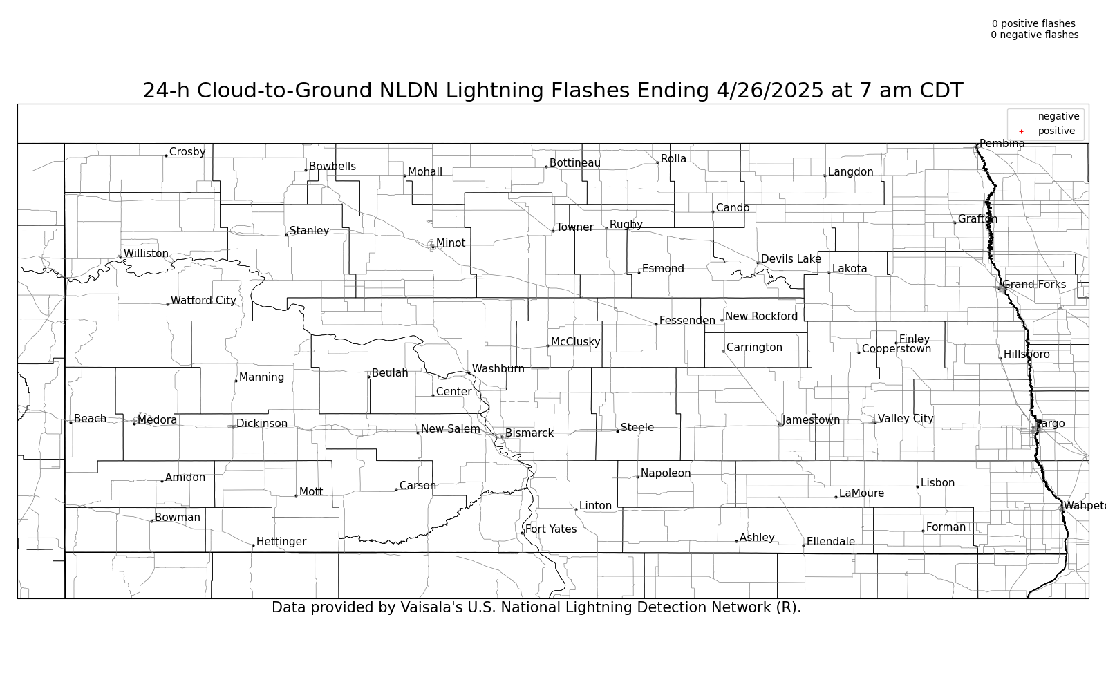
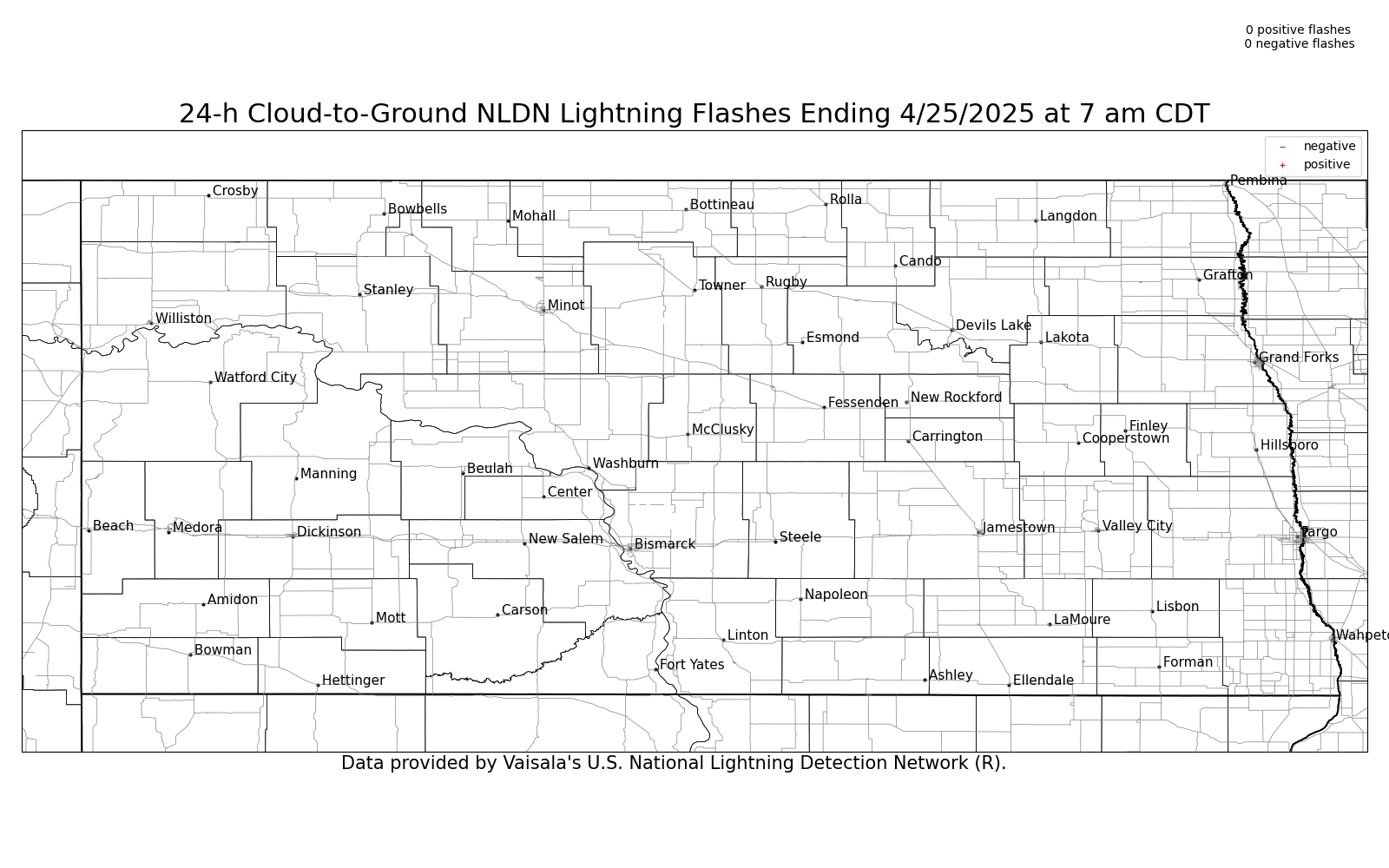
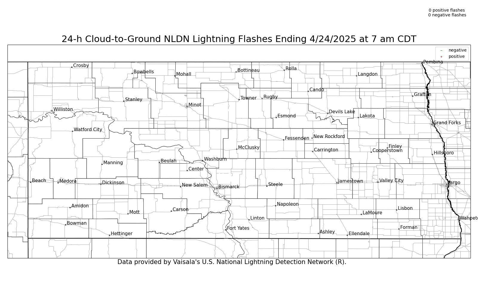
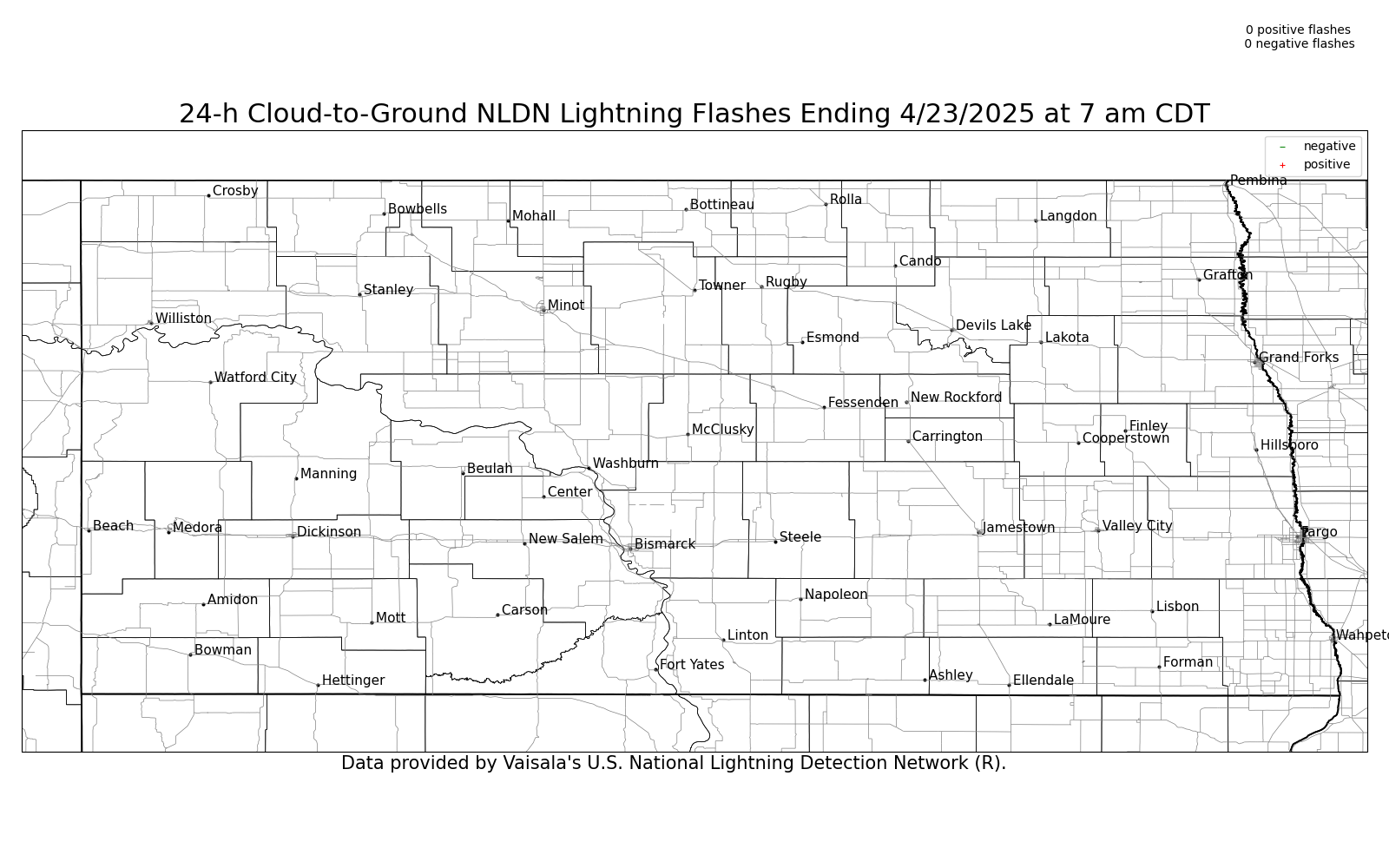
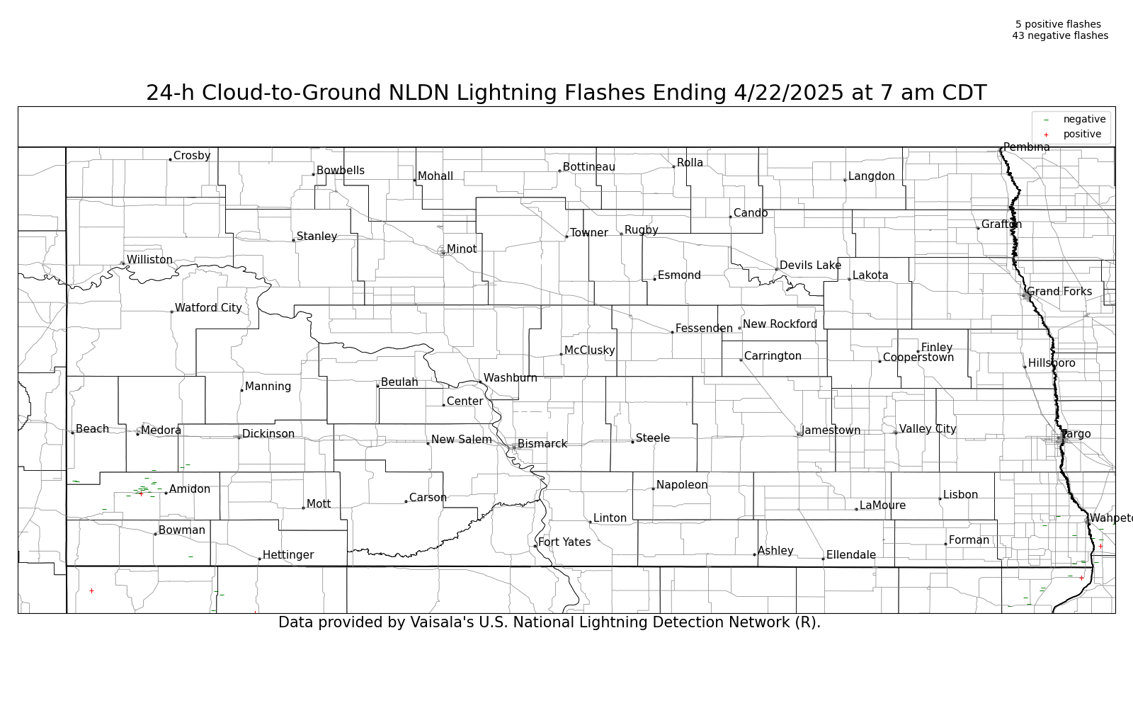
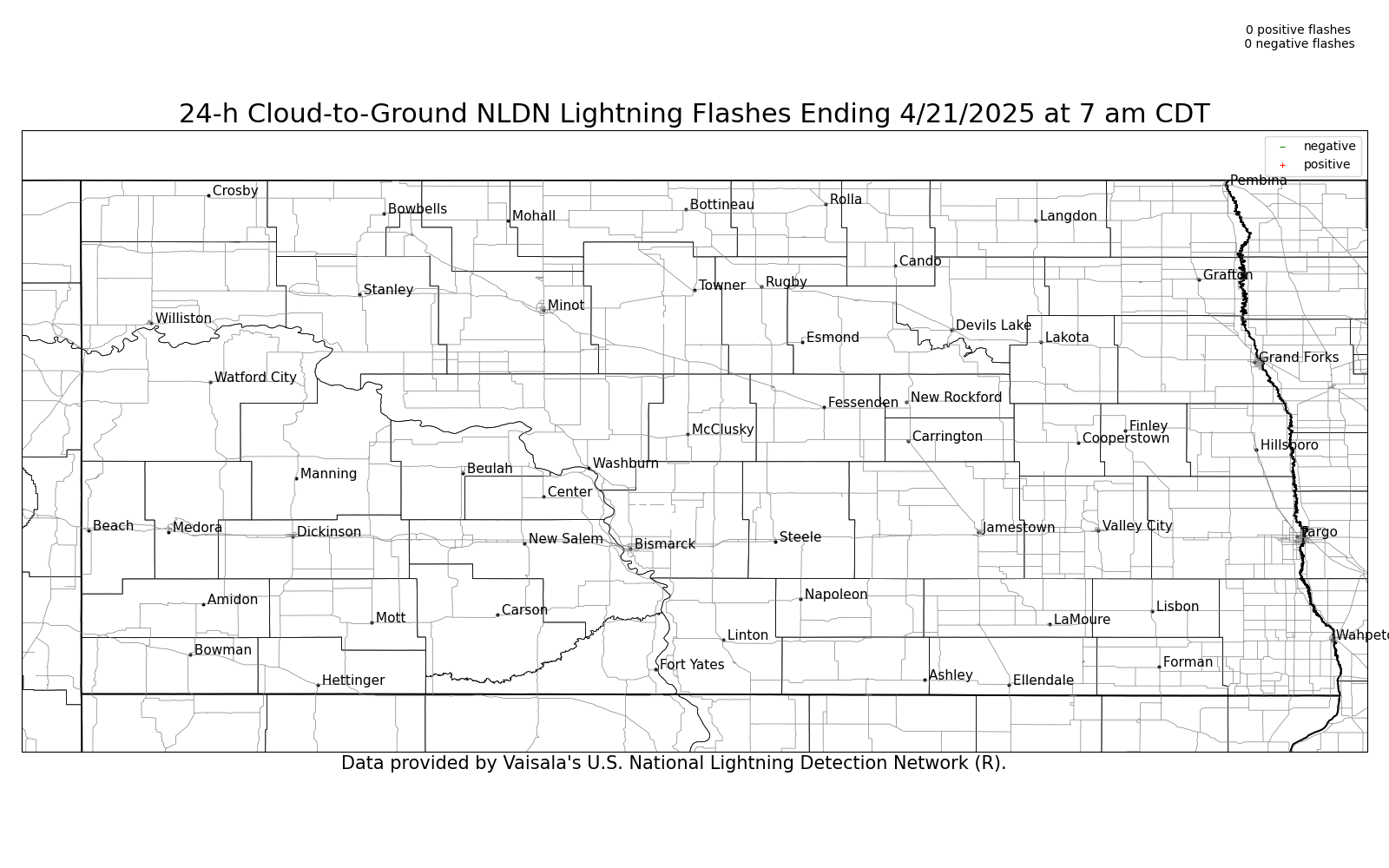
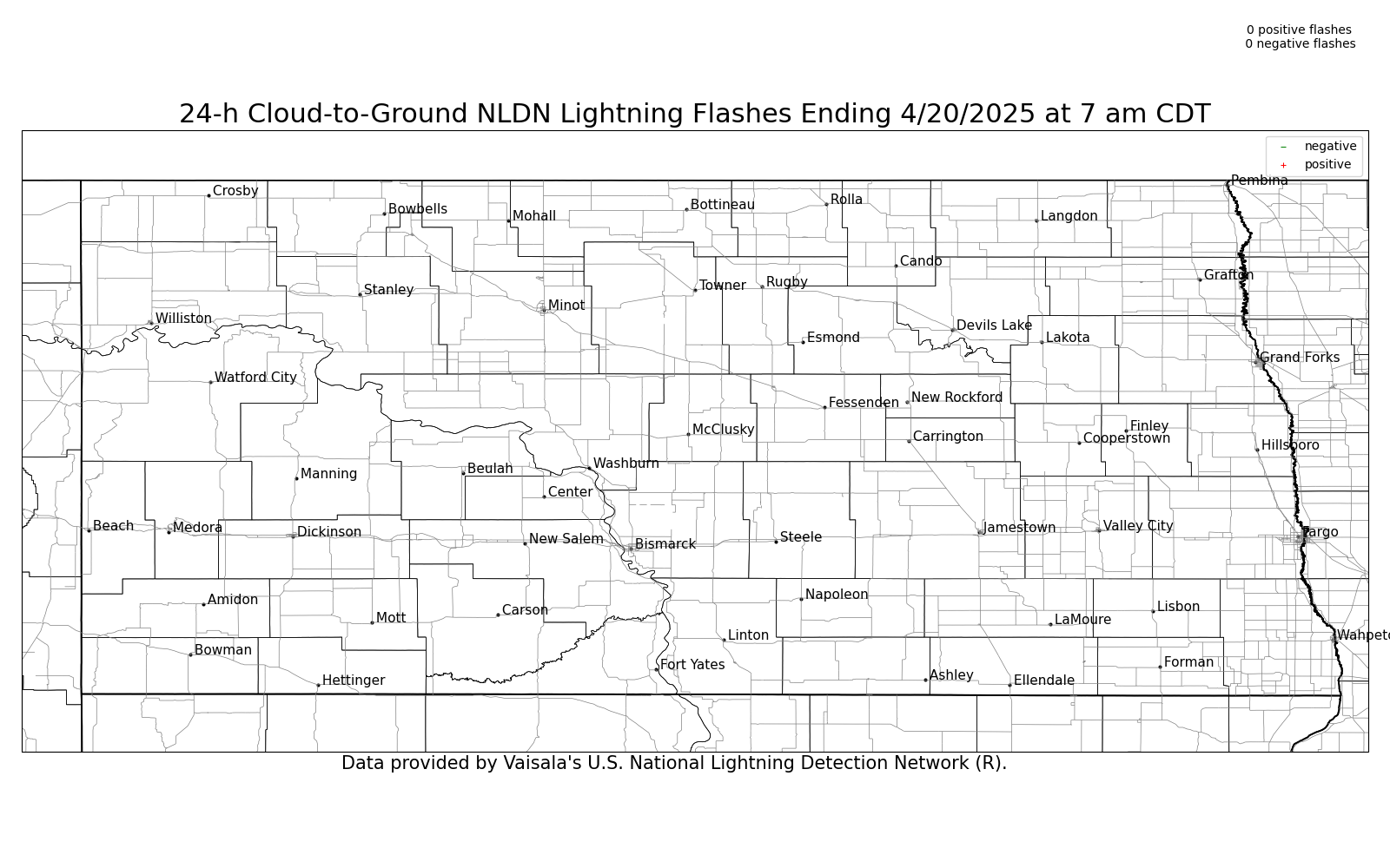
| 24-Hour Cumulative Lightning Strikes |
Yesterday | 2 Days Ago | 3 Days Ago | 4 Days Ago | 5 Days Ago | 6 Days Ago | 7 Days Ago | 8 Days Ago |
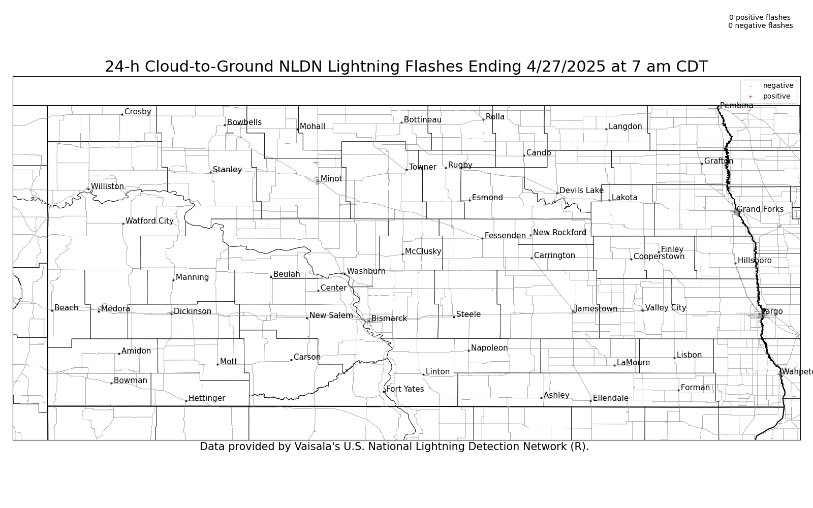 |
||||||||
Printable: Yesterday, 2 Day Ago, 3 Days Ago, 4 Days Ago, 5 Days Ago, 6 Days Ago, 7 Days Ago, 8 Days Ago
*These graphics are updated daily around 930 am CDT/830 am MDT.

US Dept of Commerce
National Oceanic and Atmospheric Administration
National Weather Service
Bismarck, ND
2301 University Drive, Building 27
Bismarck, ND 58504
701-250-4224
Comments? Questions? Please Contact Us.


 Follow us on X
 Follow us on Facebook
 Follow us on YouTube
 BIS RSS Feed