National Weather Service United States Department of Commerce

Severe Weather and Heavy Rainfall from the High Plains to the Ohio Valley; Heat Continuing in the Central Plains and Southeast

A stationary front will be the focus for daily showers and thunderstorms capable of widely scattered flash flooding and severe weather from the High Plains to the Ohio Valley. Monsoonal thunderstorms could cause local flash flooding across the Southwest and the Great Basin. Dangerous heat continues across the Central Plains and Southeast. Many areas will see their hottest temperatures of the year. Read More >


Quick Jumps:
Outlooks
Observed Precipitation
Soil Conditions
Streamflow Conditions


****Burn Bans And Restrictions Link****


Click Images To Expand
Drought Monitor and Outlooks
ND Drought Monitor
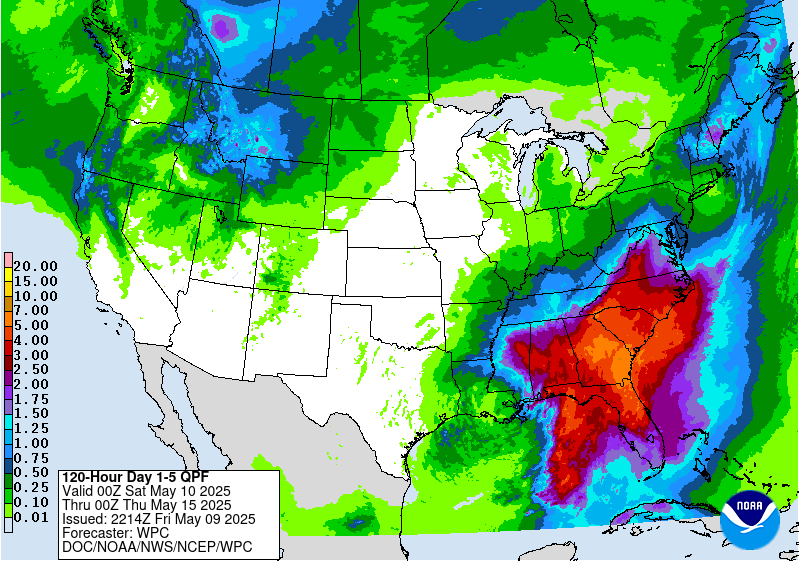
5 Day Rainfall Forecast


Day 1 Forecast Rain
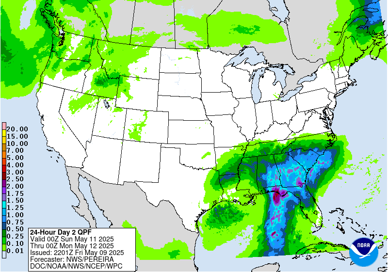
Day 2 Forecast Rain
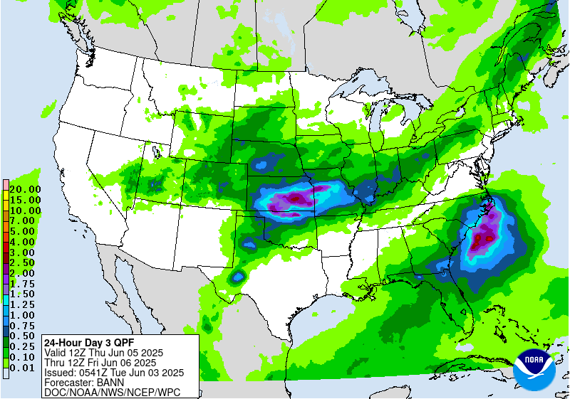
Day 3 Forecast Rain
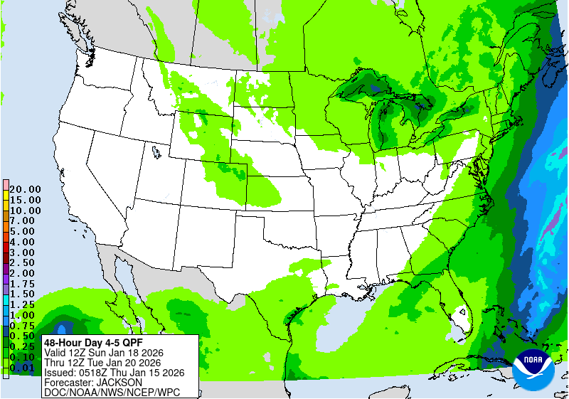
Days 4-5 Forecast Rain
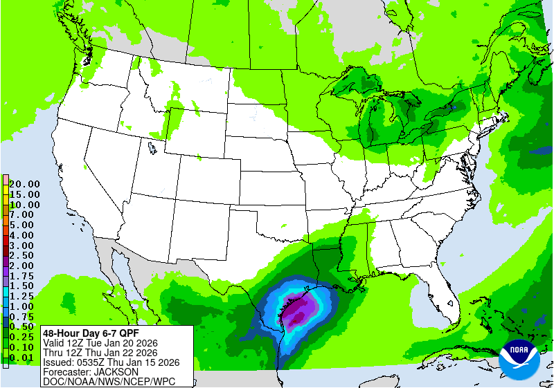
Days 6-7 Forecast Rain


8-14 Day Temperature Outlook
8-14 Day Precipitation Outlook
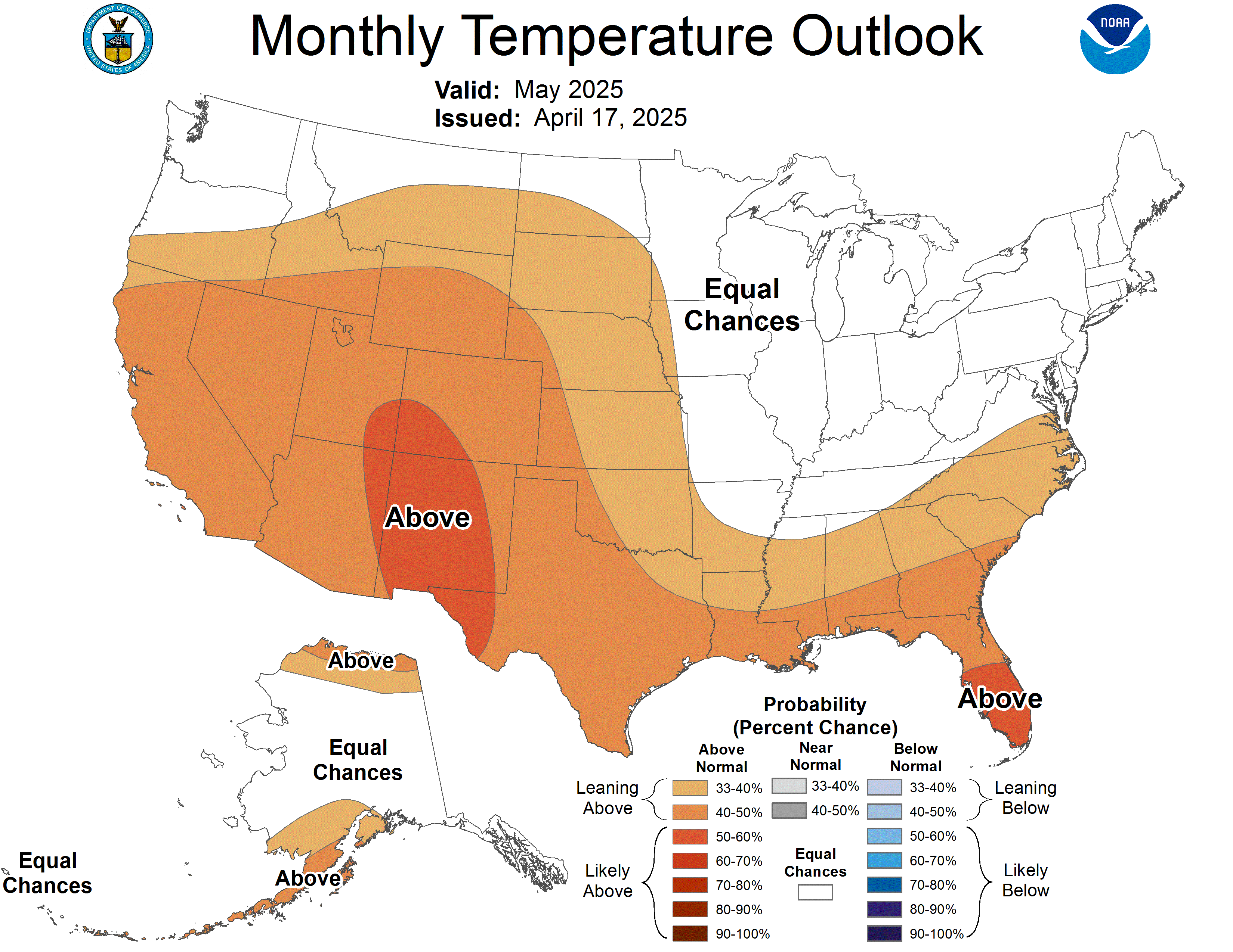
30 Day Temperature (Next Month)
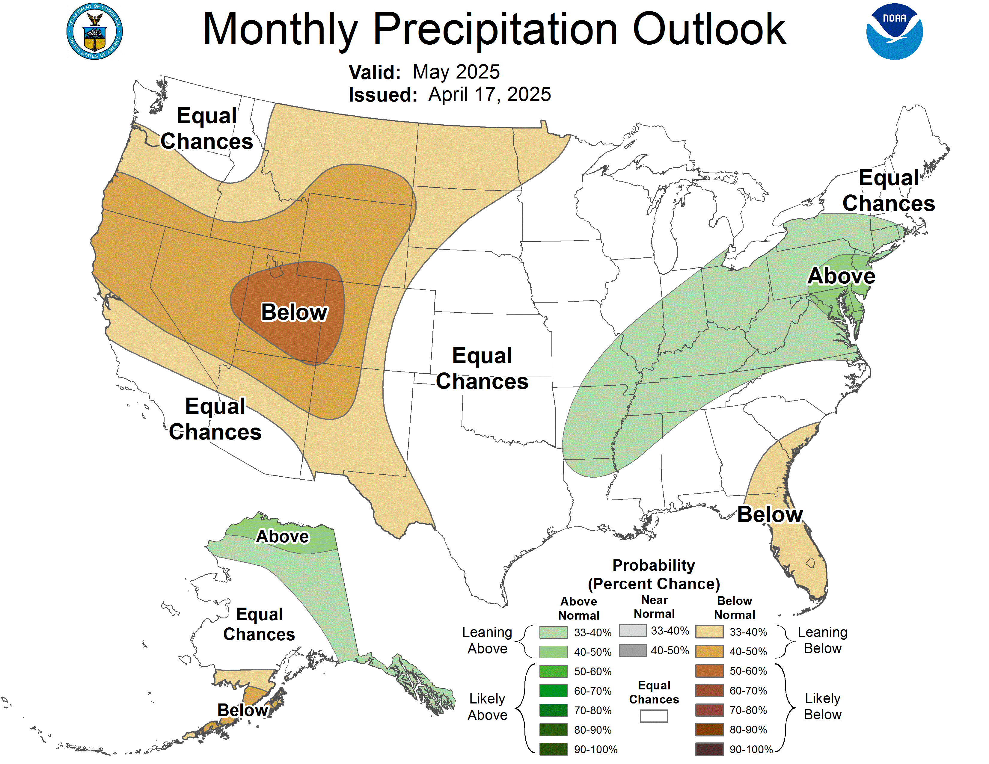
30 Day Precipitation (Next Month)


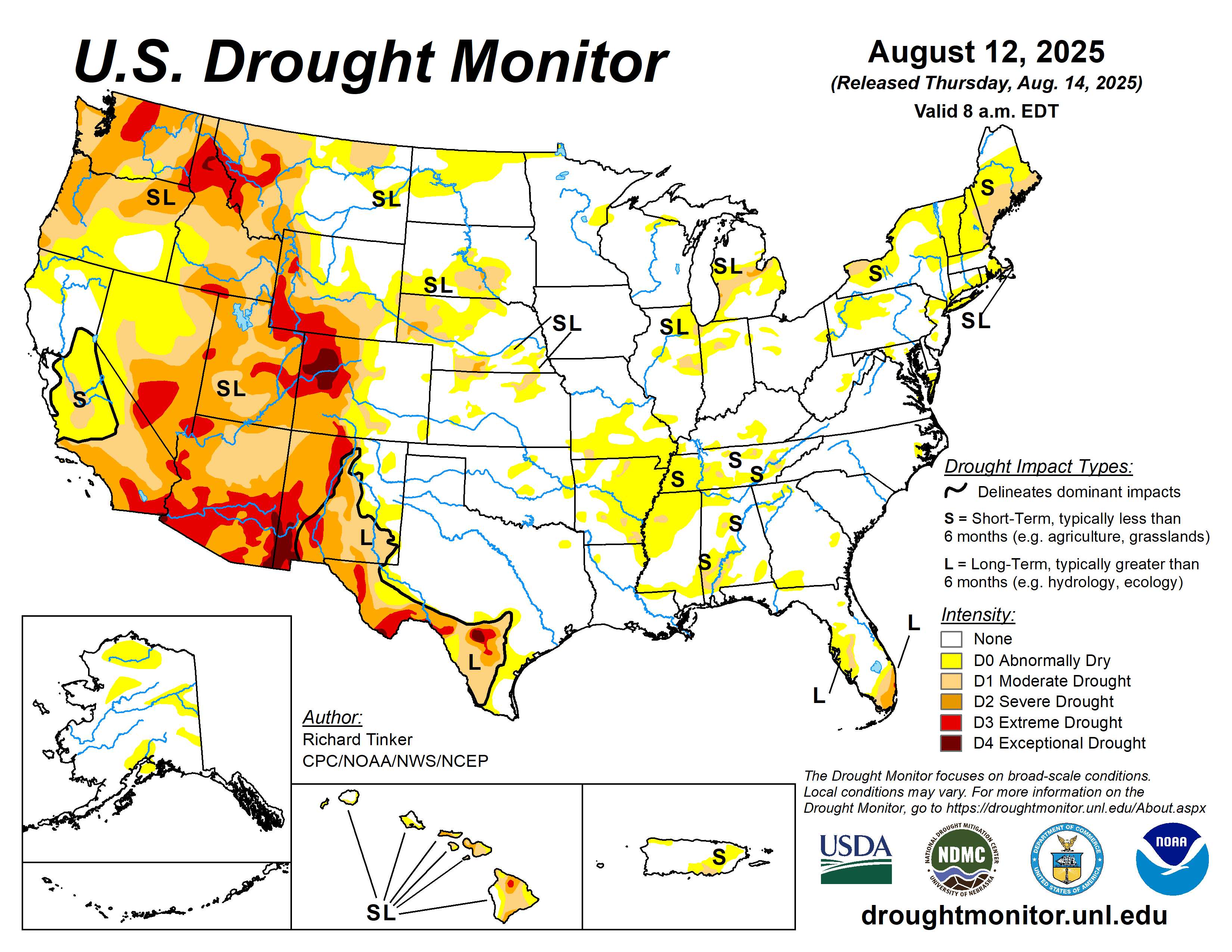
National Drought Monitor
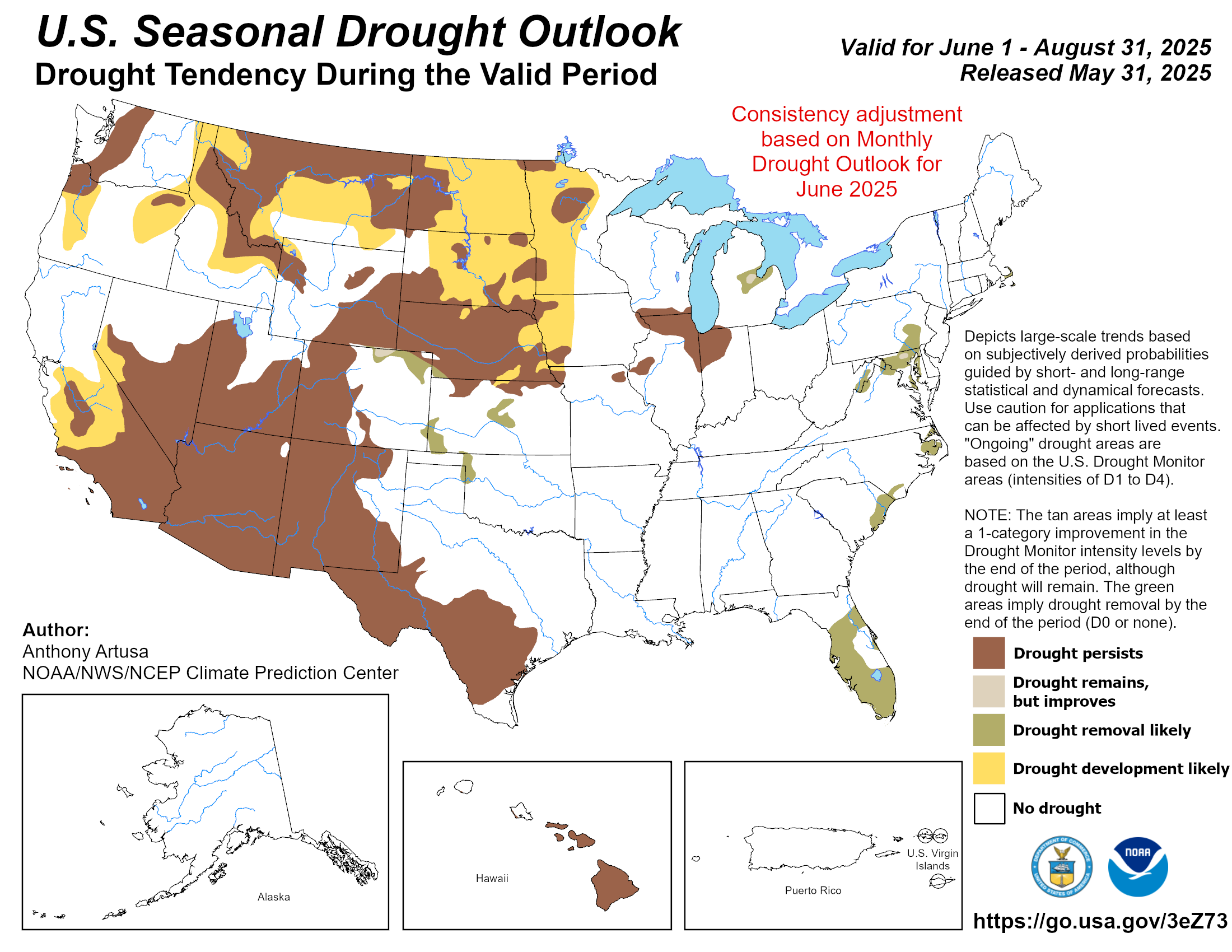
Seasonal Drought Outlook
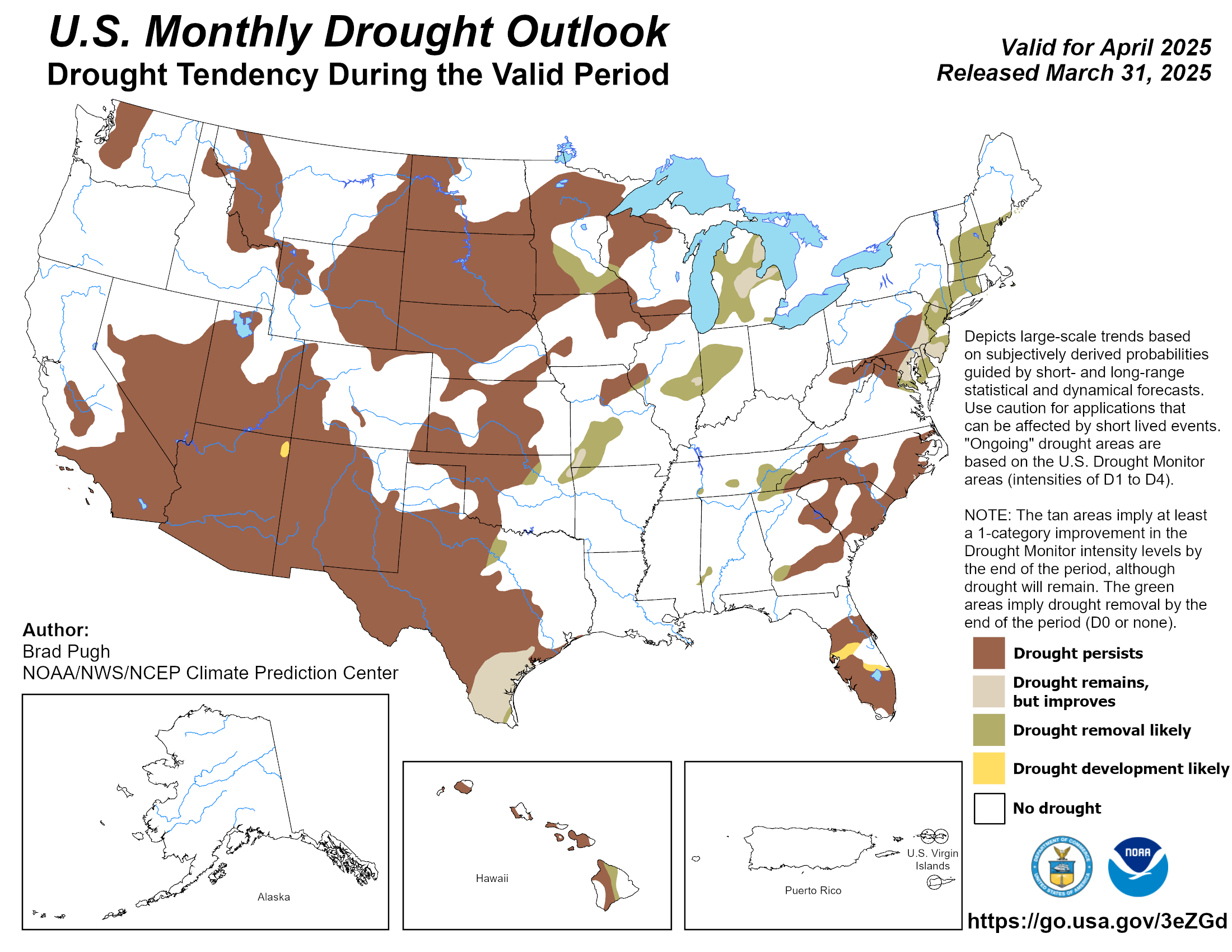
Monthly Drought Outlook
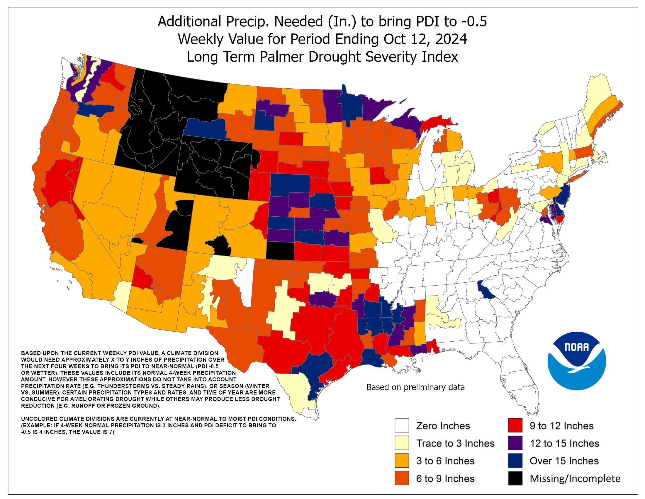
Rain Needed To End Drought


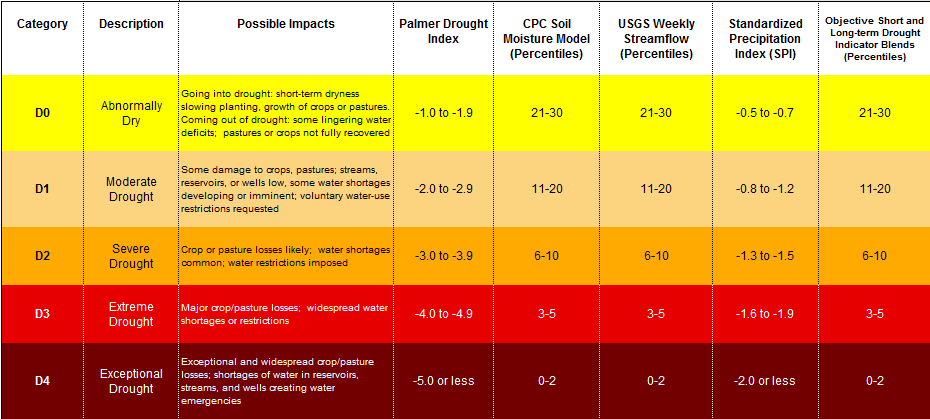
Drought Classification Meaning


Quick Jumps:
Outlooks
Observed Precipitation
Soil Conditions
Streamflow Conditions


Observed Precipitation Trends
30 Day Observed Rainfall


7 Day % Normal
14 Day % Normal
30 Day % Normal
90 Day % Normal
12 Month % Normal


Quick Jumps:
Outlooks
Observed Precipitation
Soil Conditions
Streamflow Conditions


Soil Conditions
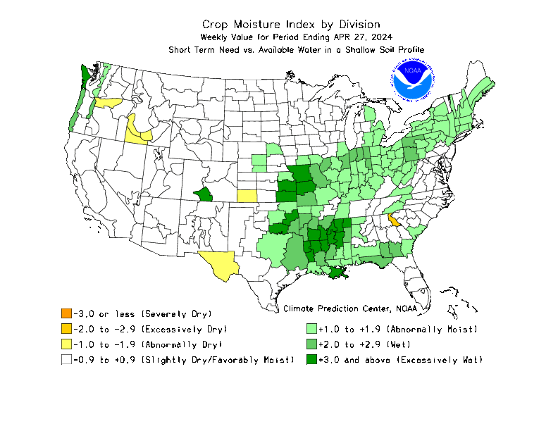
Crop Moisture
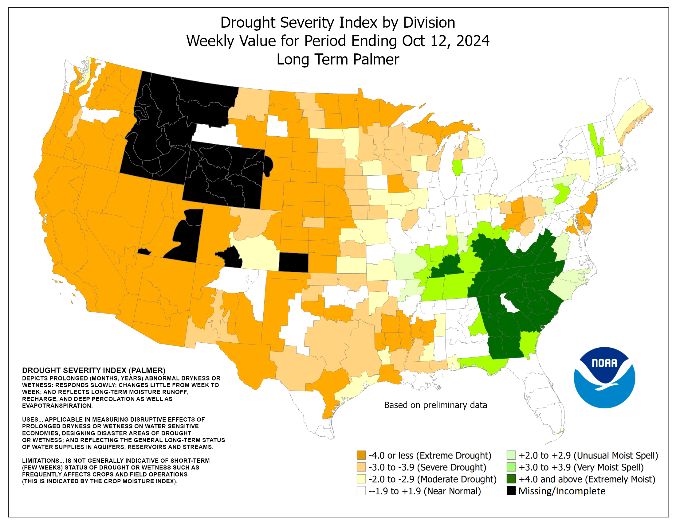
Palmer Index
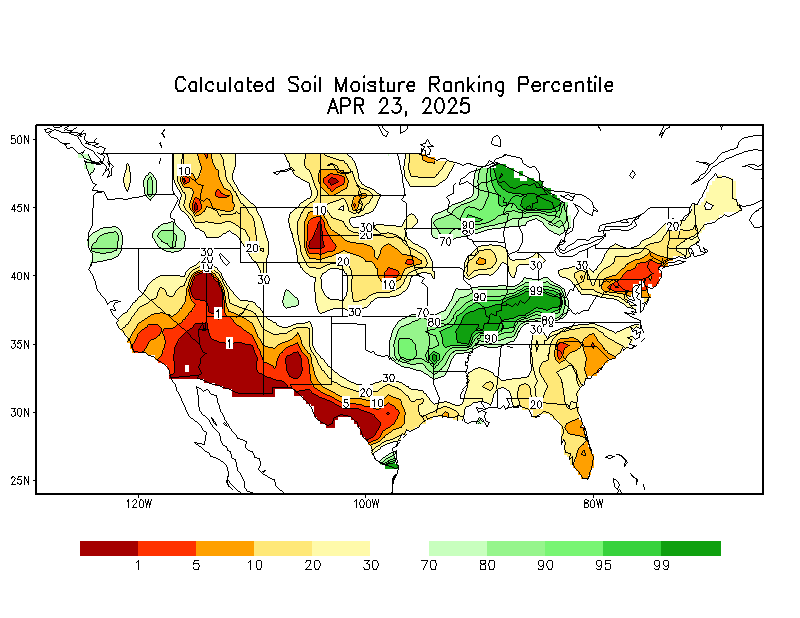
CPC Soil Moisture


Quick Jumps:
Outlooks
Observed Precipitation
Soil Conditions
Streamflow Conditions


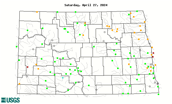
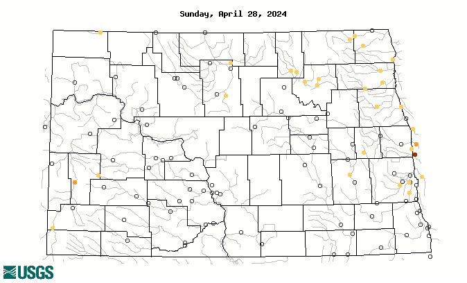
Streamflow Conditions
28 Day Streamflow Ranking
28 Day Streamflow to Drought Rating


Quick Jumps:
Outlooks
Observed Precipitation
Soil Conditions
Streamflow Conditions