
Dangerous heat will expand from the Gulf Coast into the Southern Plains and Desert Southwest through week's end. Additional extreme heat impacting the Pacific Northwest will shift to the northern Plains by the weekend. Tropical Storm Bertha is expected to continue to impact portions of the northwestern Gulf Coast from south central Louisiana to the upper Texas coast today. Read More >
Bismarck, ND
Weather Forecast Office
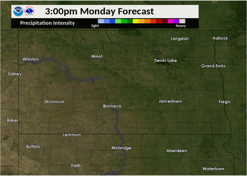
This is just one of our many short range forecasts in depicting how the thunderstorms "may" develop this afternoon through tonight. The last couple model runs have been fairly consistent showing the stronger storms may potentially scoot from the Turtle Mountains into northeast North Dakota around midnight and beyond. We'll see!
US Dept of Commerce
National Oceanic and Atmospheric Administration
National Weather Service
Bismarck, ND
2301 University Drive, Building 27
Bismarck, ND 58504
701-250-4224
Comments? Questions? Please Contact Us.

