
Scattered thunderstorms with severe gusts, hail and a tornado risk are possible near a cold front from the Ohio Valley to the Mid-Atlantic tonight. Tropical Storm Bertha is expected to bring tropical storm conditions to portions of the Gulf Coast from the panhandle of Florida into Louisiana through Wednesday. Read More >
Bismarck, ND
Weather Forecast Office
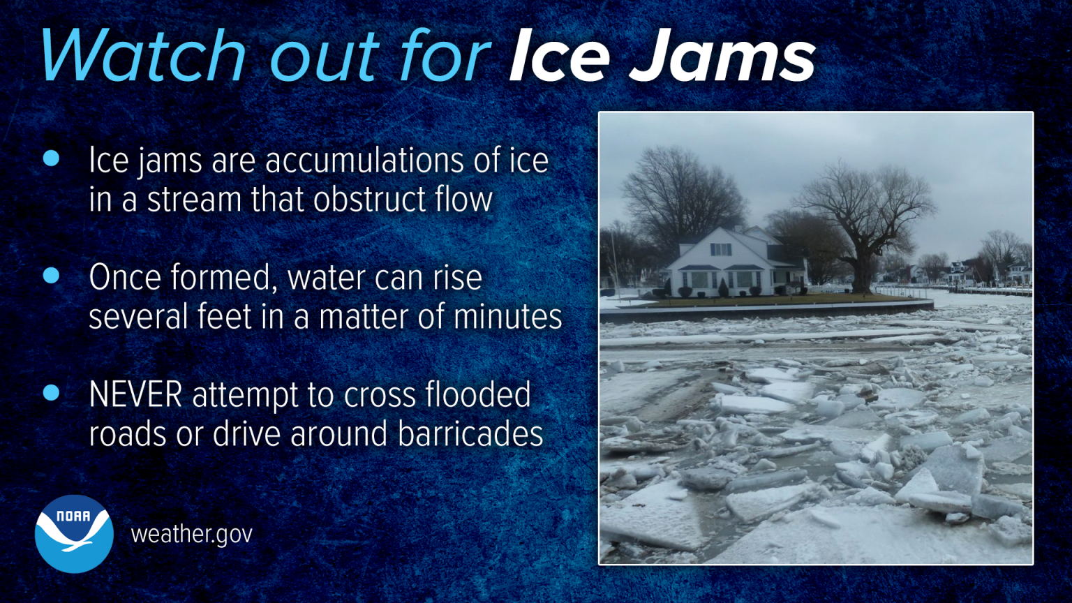
...ICE JAM FORMING ON MISSOURI RIVER...

Warm weather last week caused the loss of the ice on the Missouri
River through the Bismarck and Mandan area. However, colder weather
along with snow earlier this week has created sufficient ice moving
downstream to once again fill in the river channel.

As of Wednesday morning, ice has been collecting in the Fox Island
area and restricting flow on the Missouri River. Water has been
backing up on the Fox Island boat ramp parking lot. As ice continues
to collect, increasingly higher water will move northward through
the Bismarck and Mandan reach of the Missouri River.

The river stage at the onset of this ice jam was 9.6 ft as measured
at the Bismarck gage on the Missouri River. Water levels due to ice
jams are difficult to predict, but given the starting water
elevation, an eventual stage of at least 12.5 ft at the Bismarck
gage is not unreasonable to expect.

If you observe problematic high water, please report your
observations to your local emergency management office.
US Dept of Commerce
National Oceanic and Atmospheric Administration
National Weather Service
Bismarck, ND
2301 University Drive, Building 27
Bismarck, ND 58504
701-250-4224
Comments? Questions? Please Contact Us.

