Wildfire smoke will push into the Midwest, worsening air quality. A frontal system brings severe storms from the Northern Plains to the Mid‑Atlantic the next few days. Heavy Gulf Coast rain is possible as Tropical Depression Two has formed, while monsoonal storms persist in the Southwest with heavy rainfall. Hazardous heat expands from the Plains into the Lower Mississippi Valley. Read More >
North Dakota Winter Weather Briefing Page (Click Refresh For The Latest Updated Content)
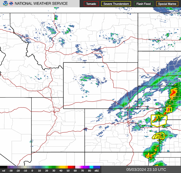
Current Conditions:
|
|
|
|
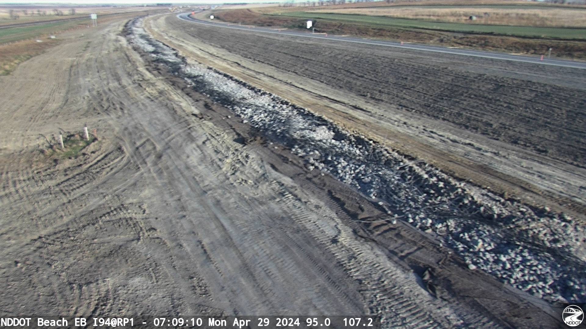
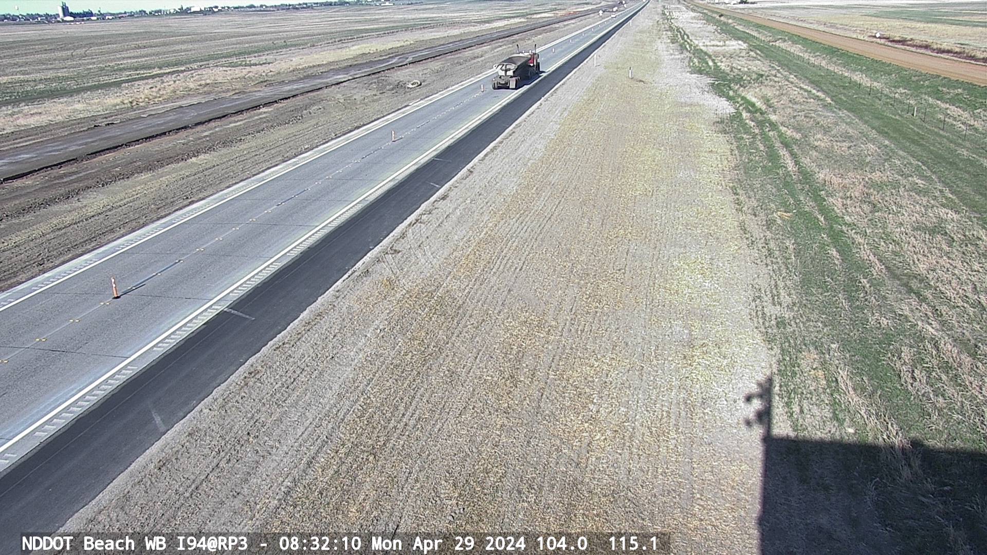
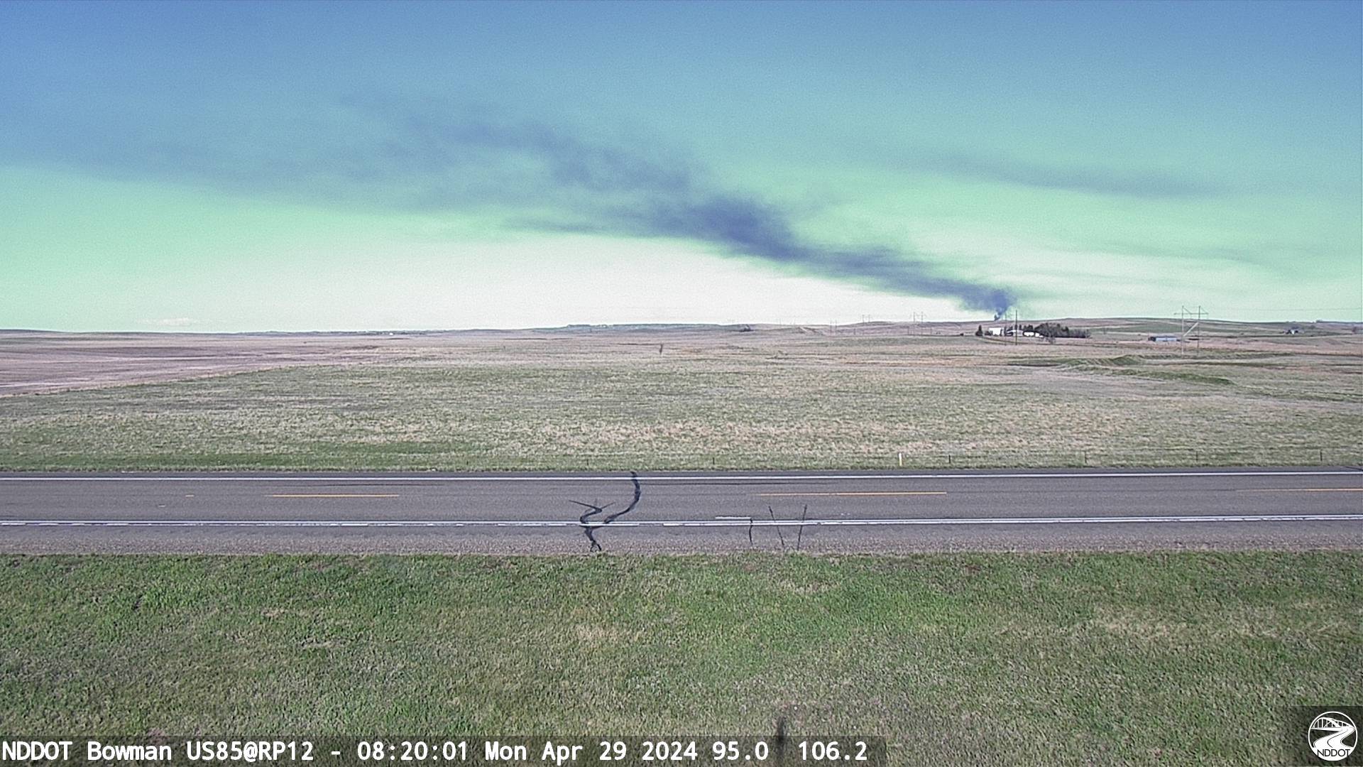
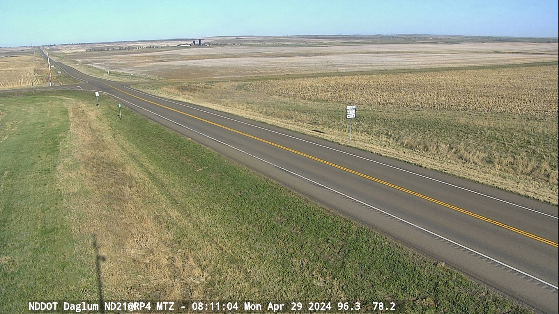
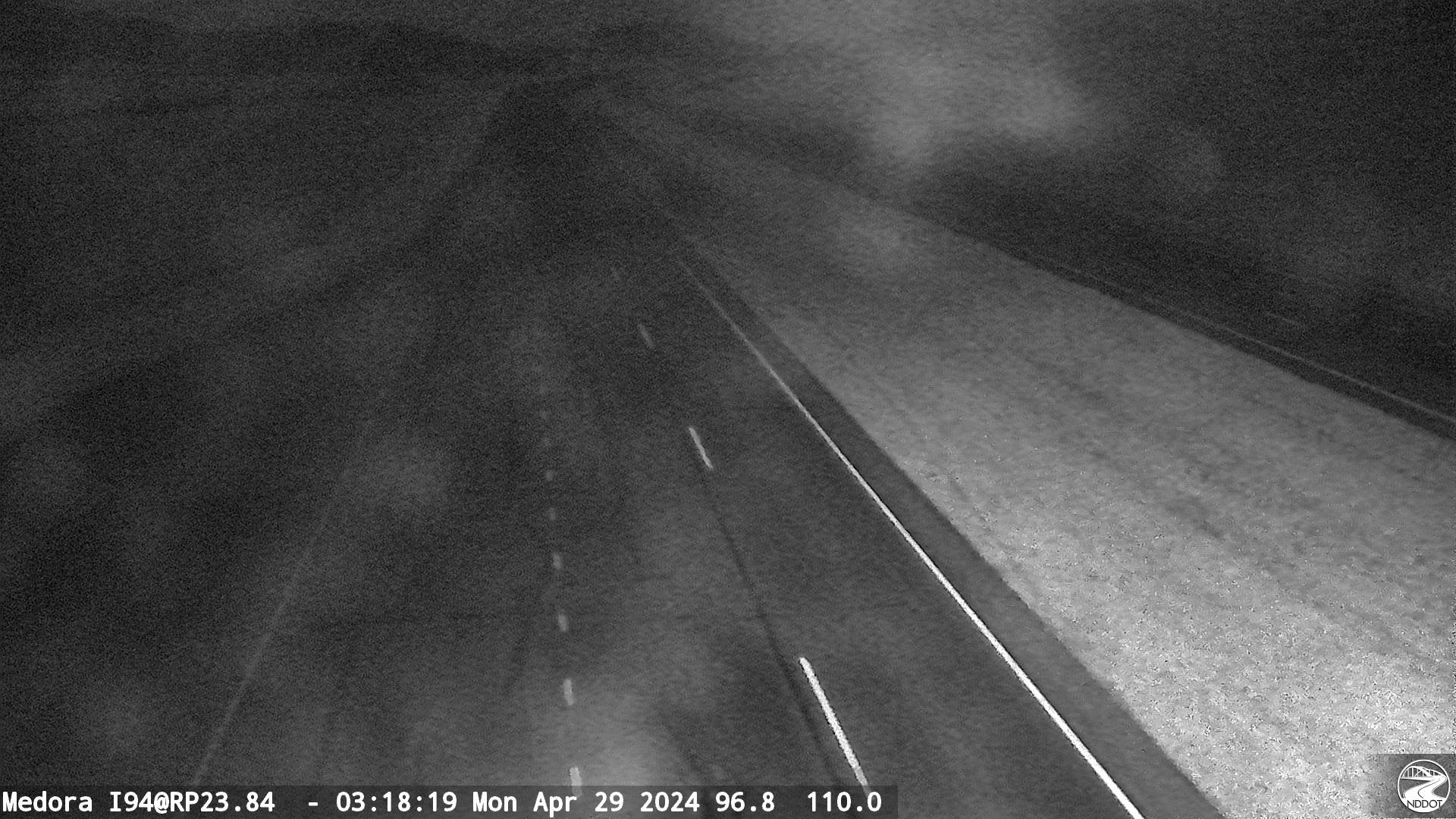
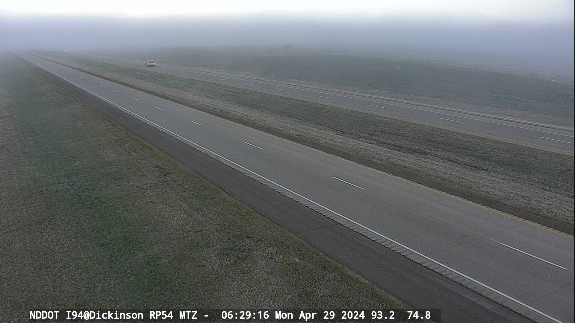
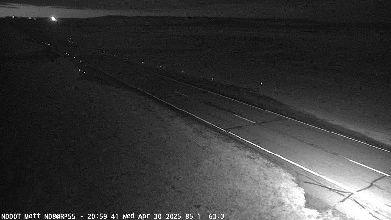
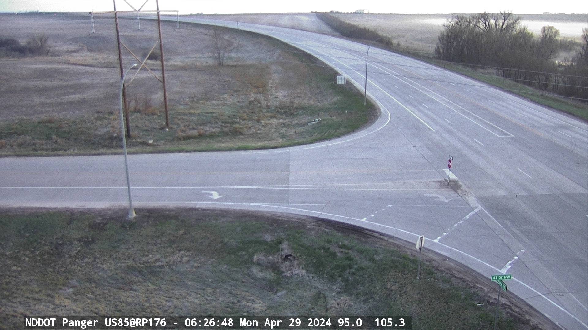
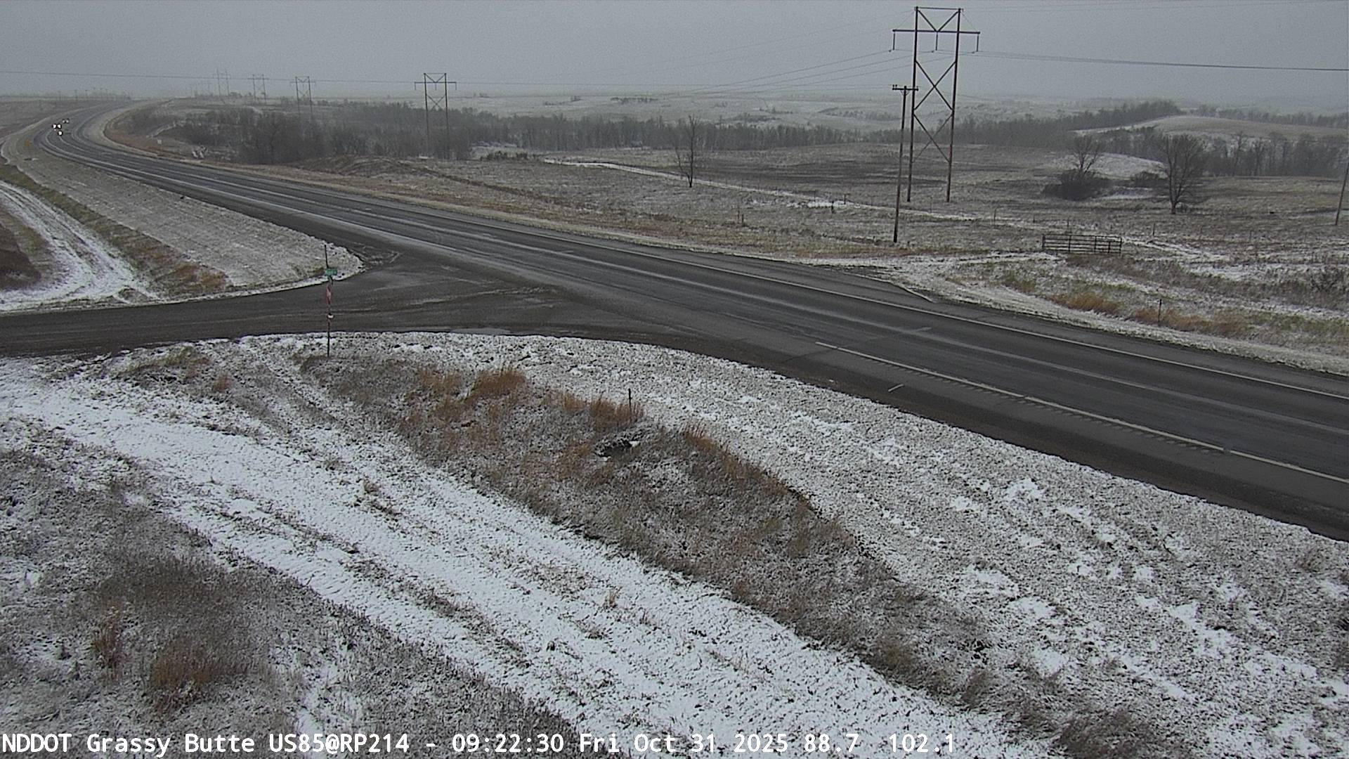
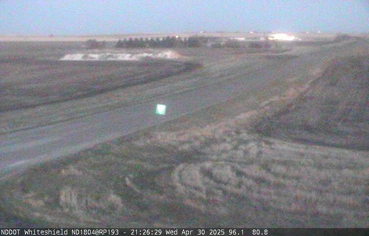
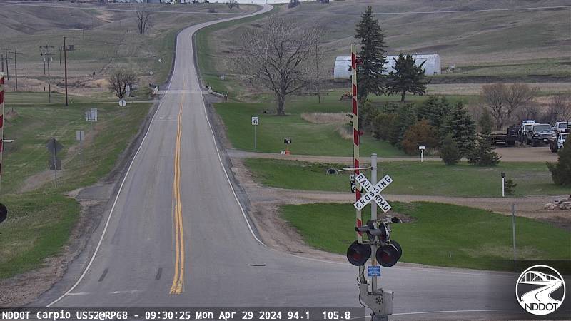
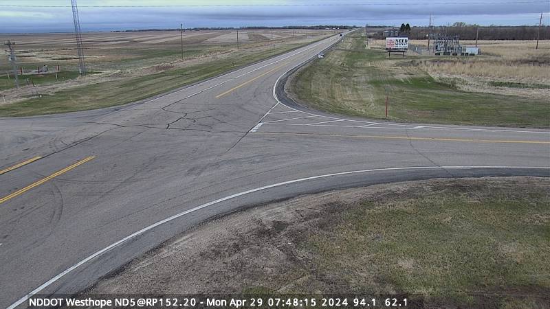
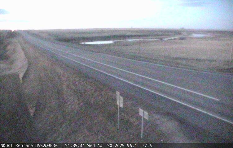
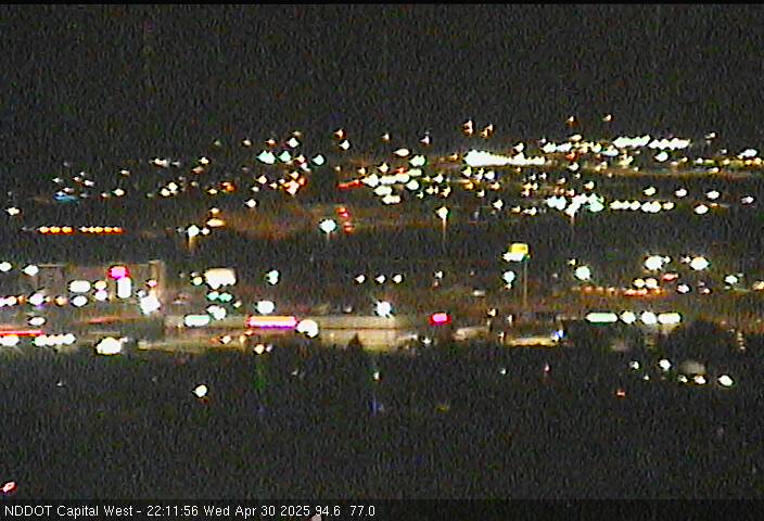
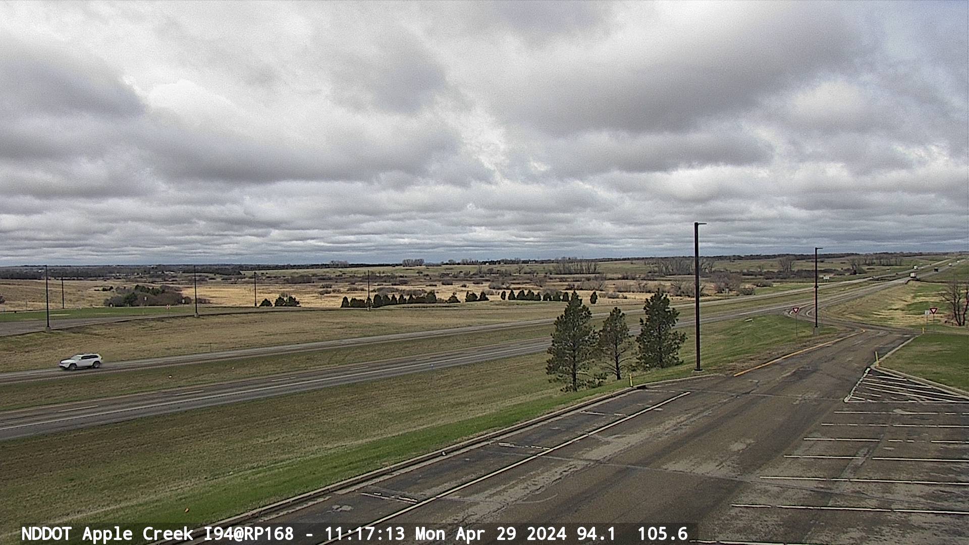
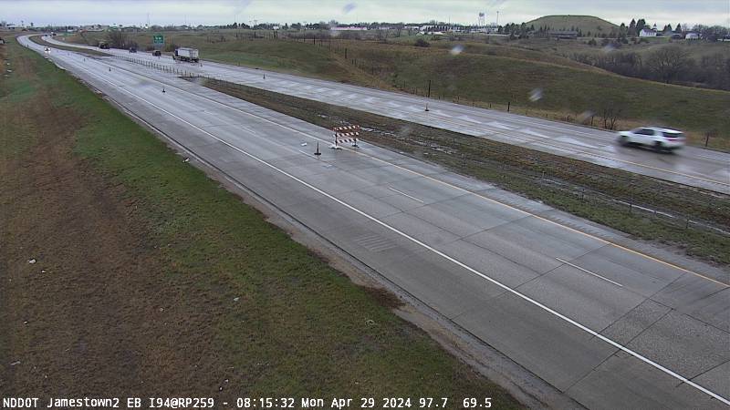
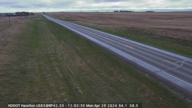
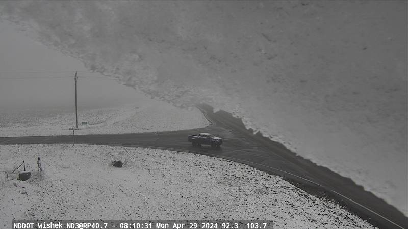
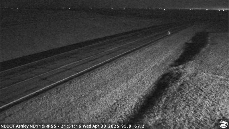
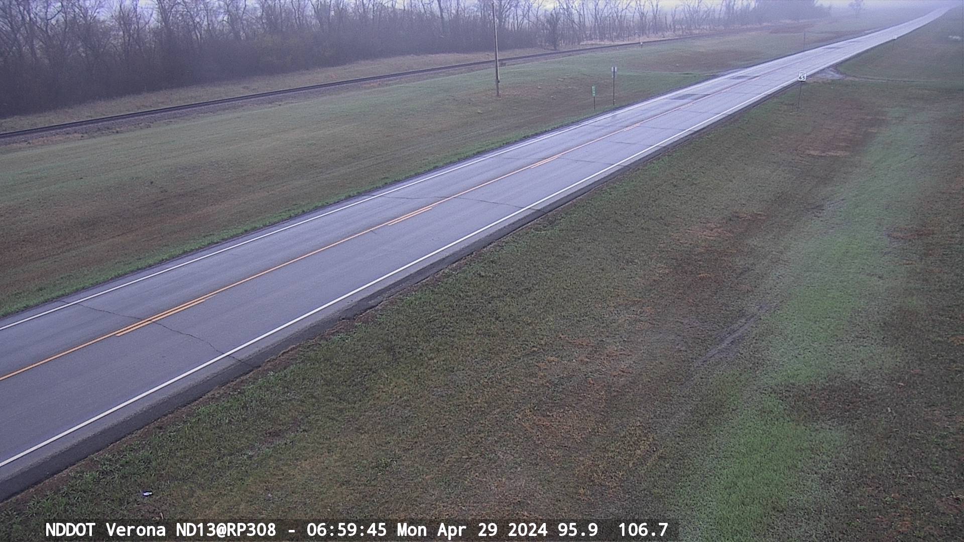
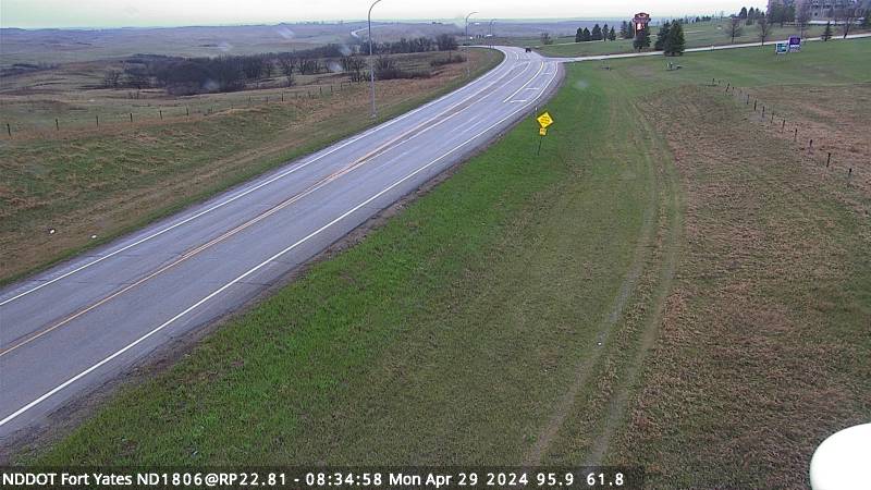
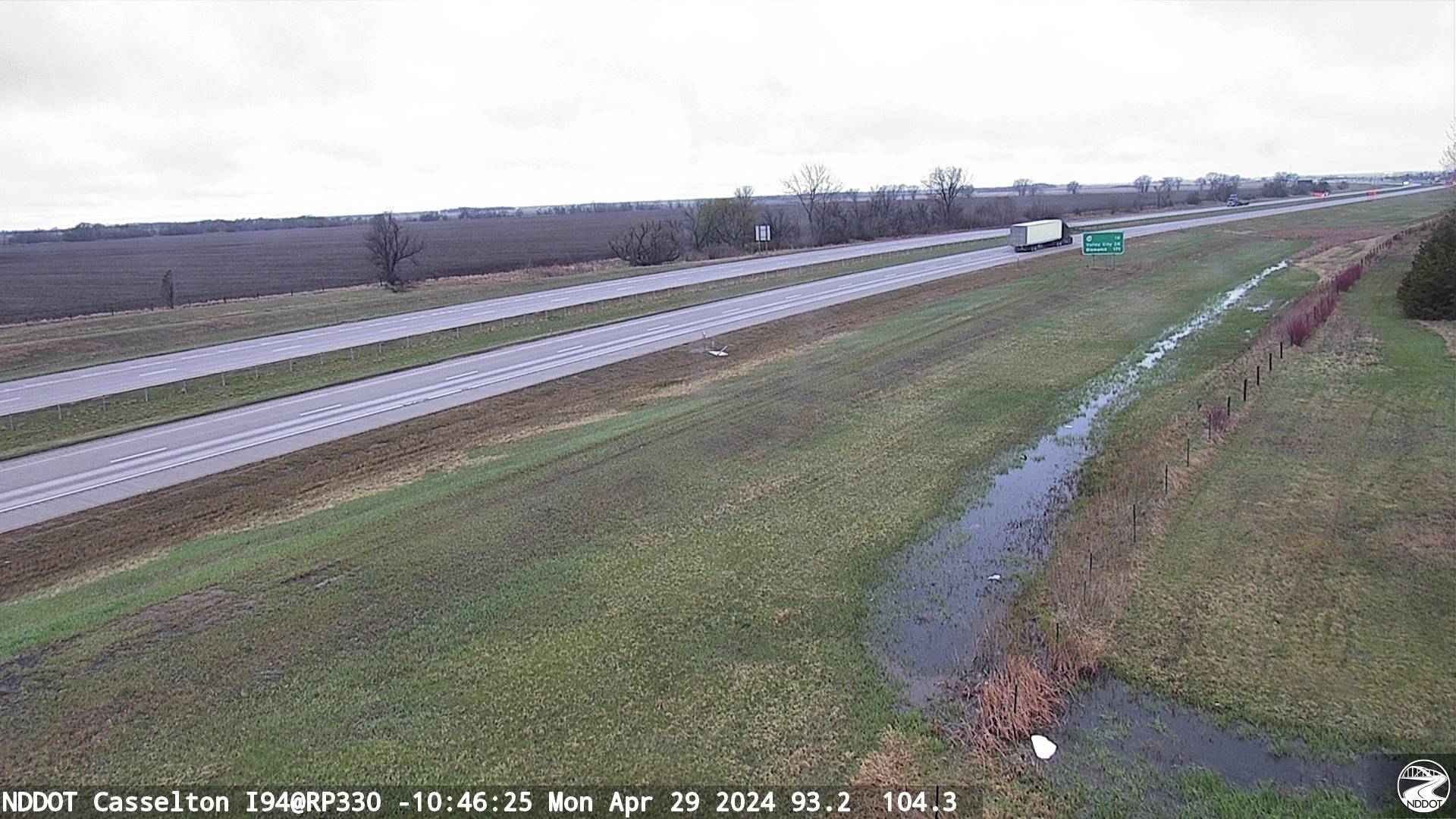
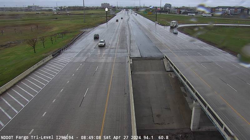
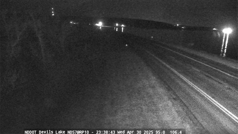
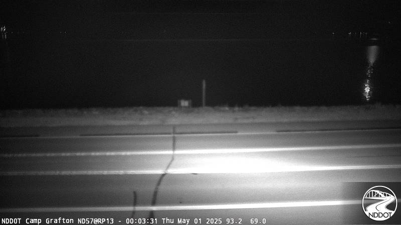
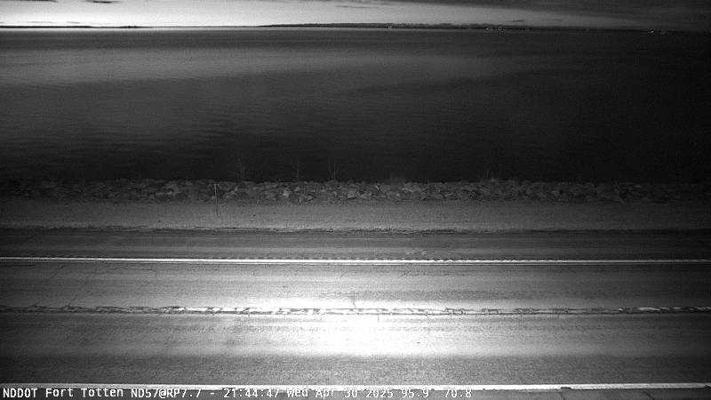
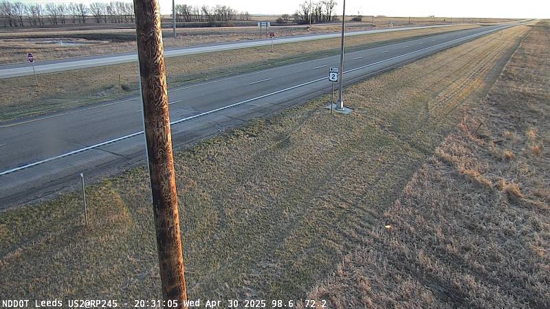
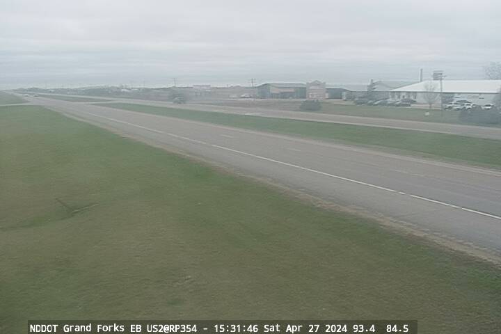
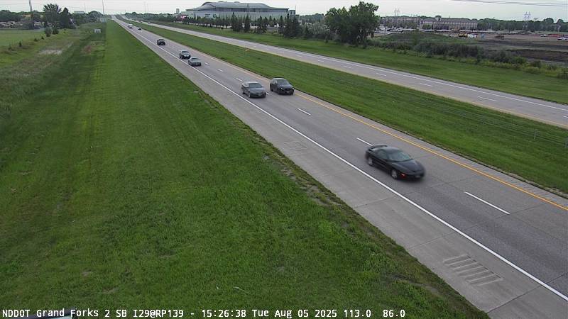
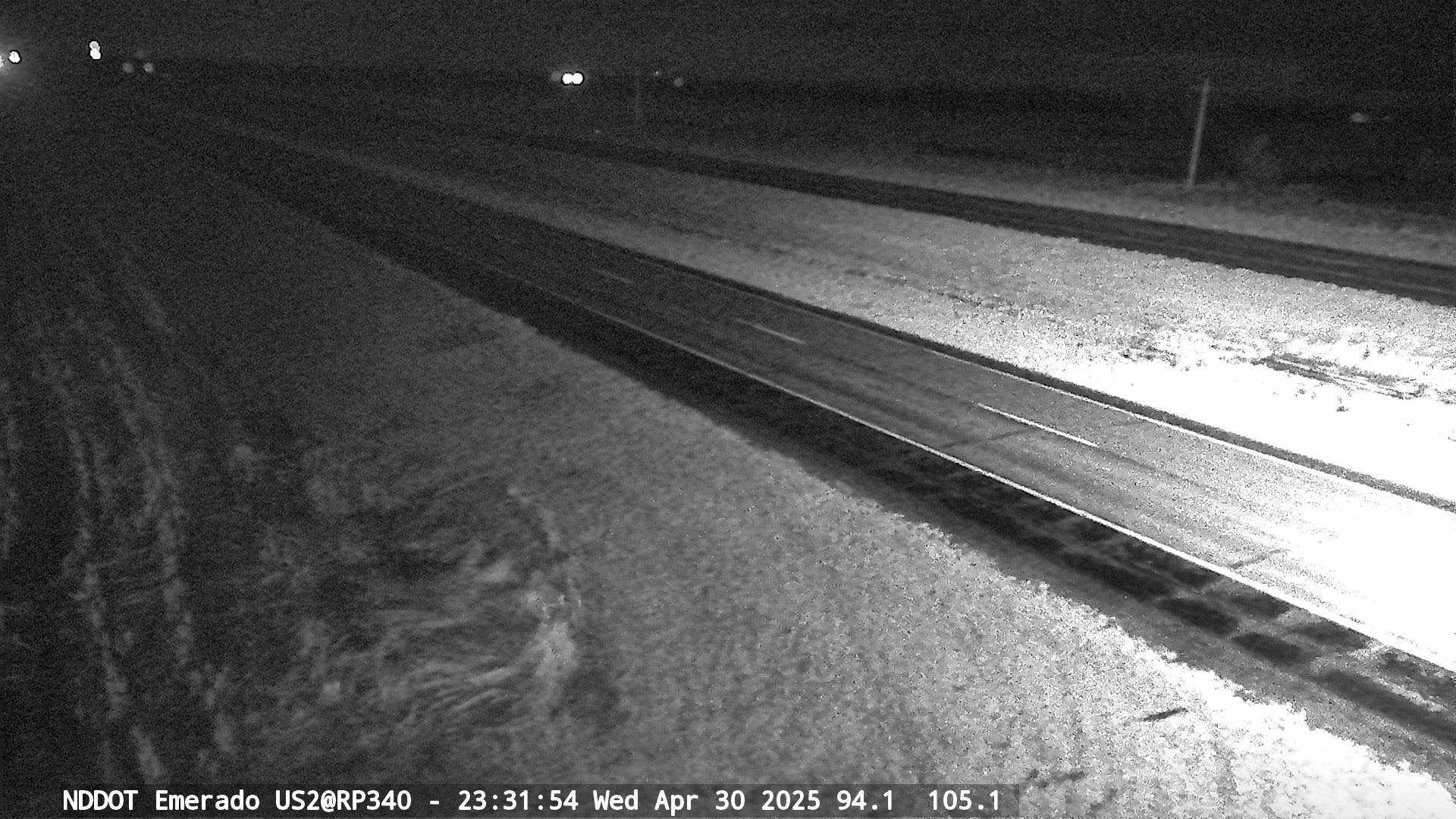
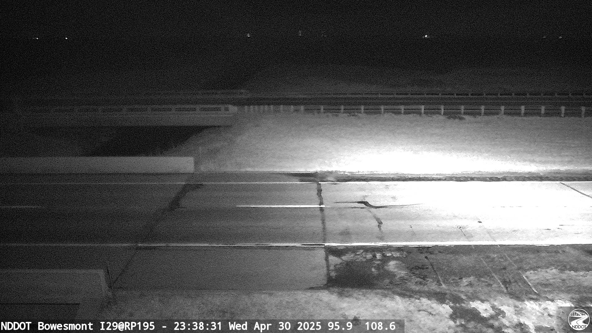
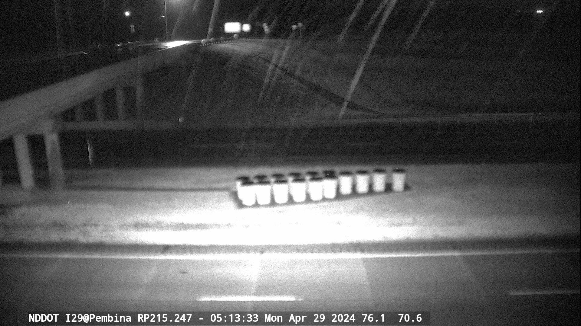
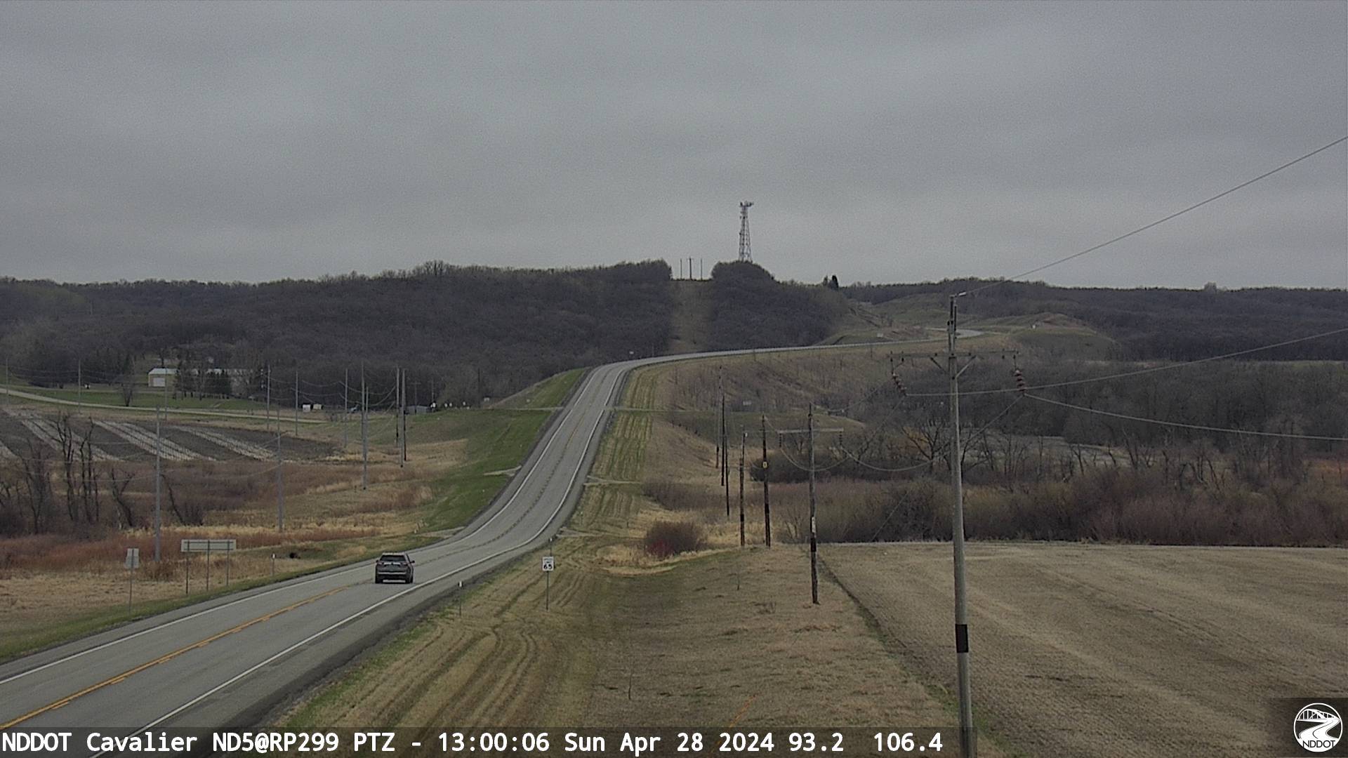
NDDOT Travel Map and Webcams
|
|
|
|
|
 |
 |
 |
 |
|
|
|
|
|
|
|
 |
 |
 |
 |
|
|
|
|
|
 |
 |
 |
 |
|
|
|
|
|
 |
 |
 |
 |
|
|
|
|
|
 |
 |
 |
 |
|
|
|
|
|
 |
 |
 |
 |
|
|
|
|
|
|
|
 |
 |
 |
 |
|
|
|
|
|
 |
 |
 |
 |
|
|
|
|
|
 |
 |
 |
 |
|
|
|
|
|
 |
 |
 |
 |
|
|
|
|
|
 |
 |
 |
 |
|
|
|
|
|
 |
 |
 |
 |
|
|
|
|
|
 |
 |
 |
 |
|
|
|
|
|
 |
 |
 |
 |
|
|
|
|
|
 |
 |
 |
 |
|
|
|
 |
 |
|
|
|
|
|
|
|
 |
 |
 |
 |
|
|
|
|
|
 |
 |
 |
 |
|
|
|
|
|
 |
 |
 |
 |
|
|
|
|
|
 |
 |
 |
 |
|
|
|
|
 |
 |
 |
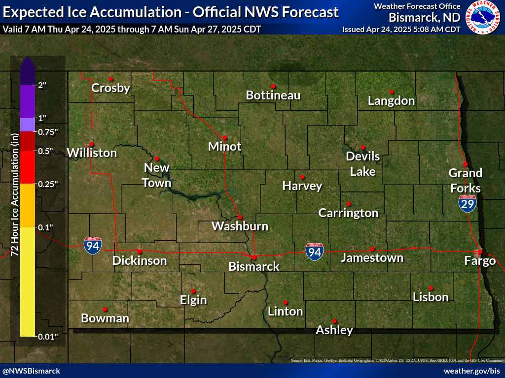
Snow and Ice Accumulation Forecasts
**Use these maps with caution as they may not cover the entire event** |
|
|
|
|
|
|
|
|
|
|
|
|
|
|
|
|
|
|
|
|
 |
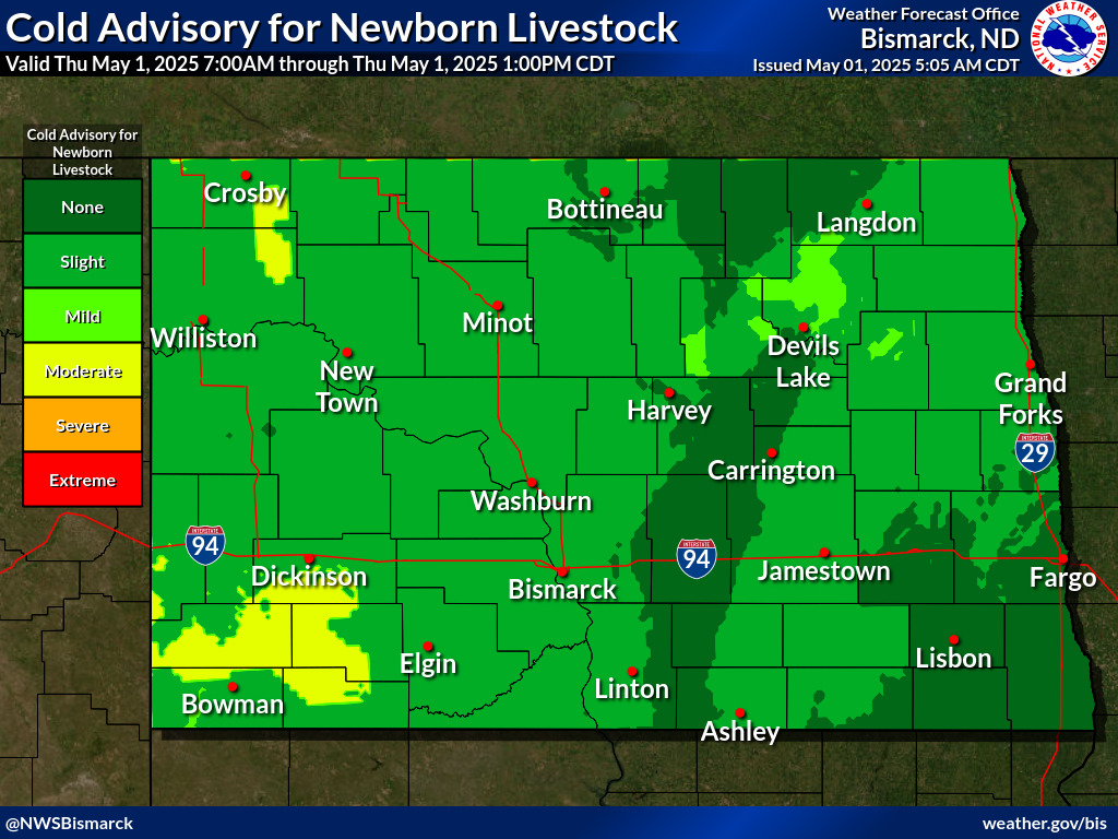
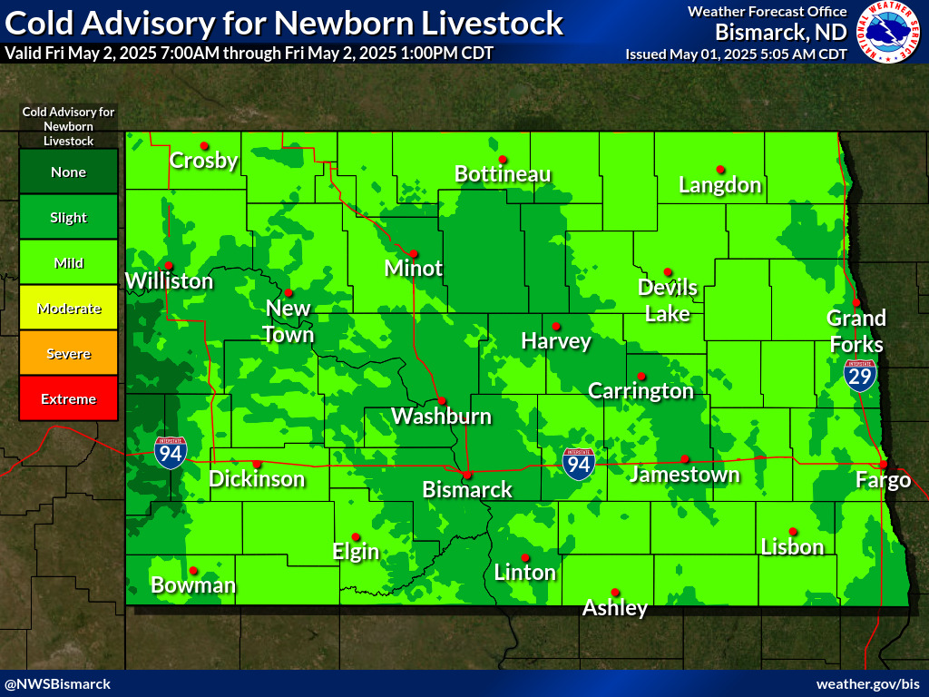
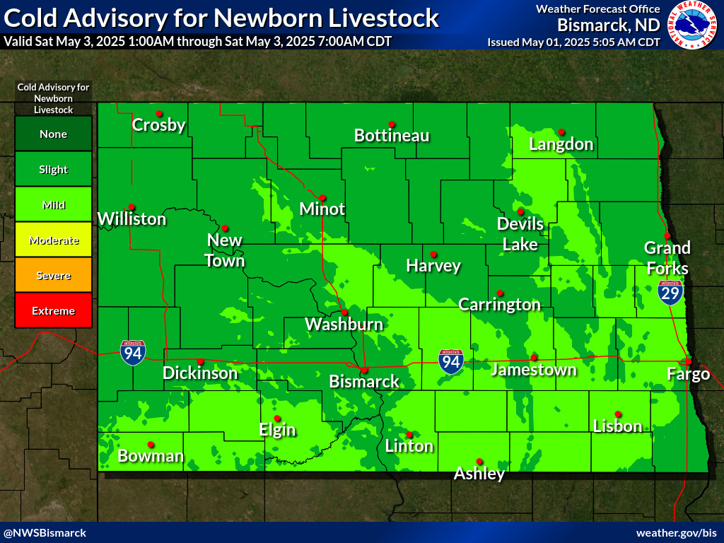
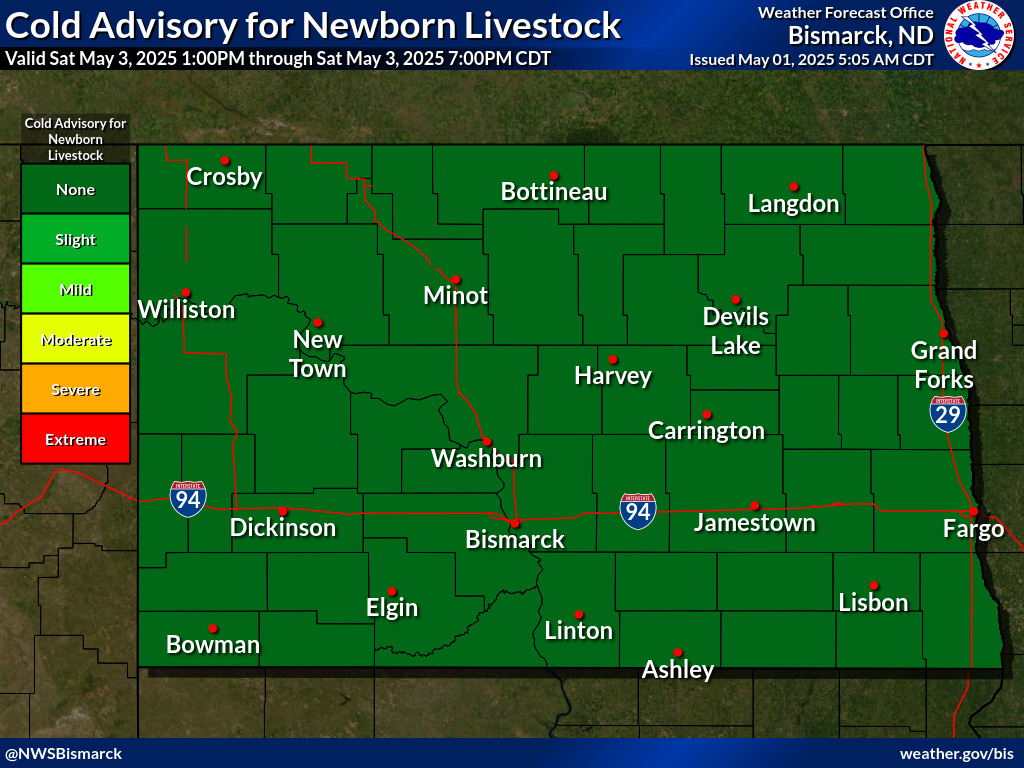
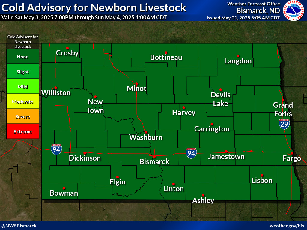
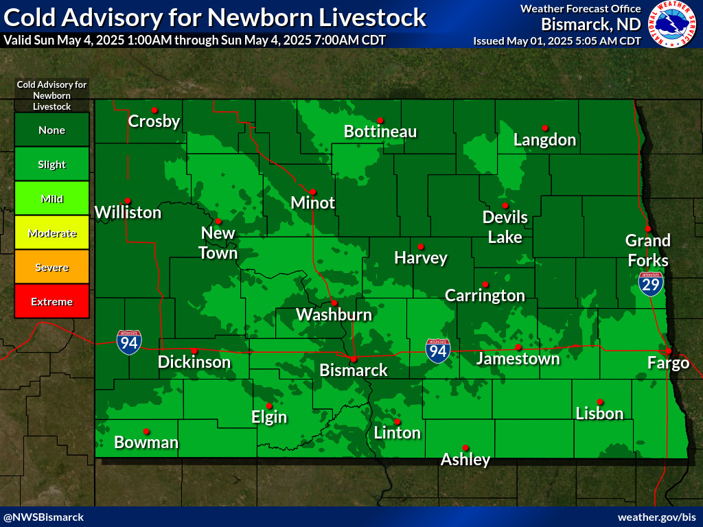
Cold Advisory For Newborn Livestock (CANL)
|
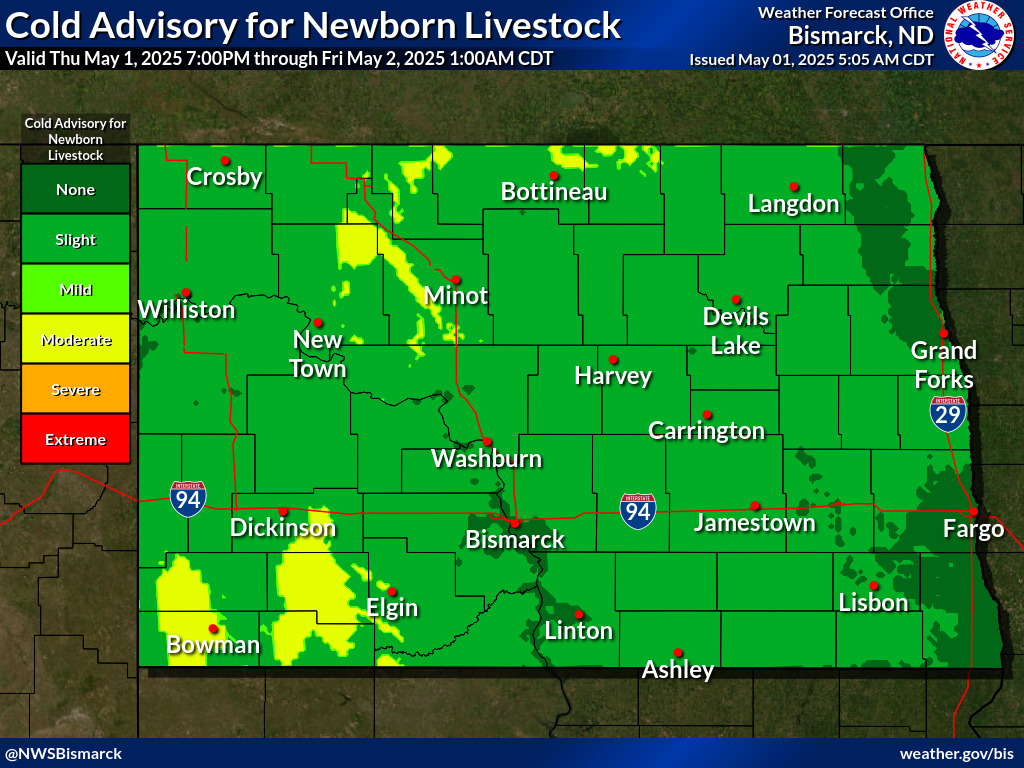
Cold Advisory For Newborn Livestock (CANL)
|
 |
Media use of NWS Web News Stories is encouraged! Please acknowledge the NWS as the source of any news information accessed from this site. |
|


 Winter Storm Warning
 Winter Weather Advisory
 Ice Storm Warning
 Wind Chill Warning
 Winter Storm Watch
 Blizzard Warning
 High Wind Watch
 High Wind Warning