
A nor'easter will continue to bring significant coastal impacts to the Mid-Atlantic and New England into Monday. Moderate to major coastal flooding, heavy rain, strong winds, and high surf are expected. Hurricane Nolo will remain south of the Big Island of Hawaii with gusty winds and heavy rainfall that may bring significant, life-threatening flooding and mudslides through the weekend. Read More >
Bismarck, ND
Weather Forecast Office
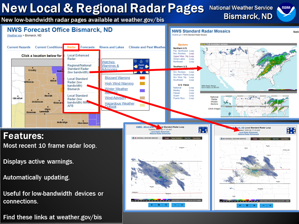
The National Weather Service now offers radar pages built for low bandwidth situations. They feature looping capability and display active warnings on a page easy to load for all devices.
You can find the links to national/regional views and the radar locations at Bismarck and the Minot AFB site at weather.gov/bis. Or by clicking here:
National/regional: weather.gov/radar_lite
Bismarck: https://www.weather.gov/radarliteloop?radarid=KBIS
Minot AFB: https://www.weather.gov/radarliteloop?radarid=KMBX
And of course for full display capabilities with many customizable options go to radar.weather.gov

US Dept of Commerce
National Oceanic and Atmospheric Administration
National Weather Service
Bismarck, ND
2301 University Drive, Building 27
Bismarck, ND 58504
701-250-4224
Comments? Questions? Please Contact Us.


 Follow us on X
 Follow us on Facebook
 Follow us on YouTube
 BIS RSS Feed