
Scattered thunderstorms with severe gusts, hail and a tornado risk are possible near a cold front from the Ohio Valley to the Mid-Atlantic tonight. Tropical Storm Bertha is expected to bring tropical storm conditions to portions of the Gulf Coast from the panhandle of Florida into Louisiana through Wednesday. Read More >
Overview
|
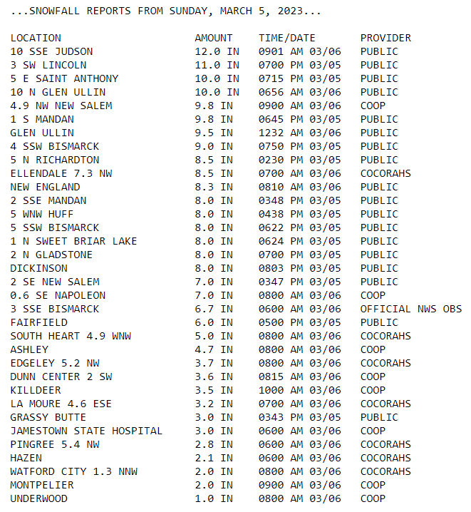
A band of heavy snow fell across portions of southwest and south central North Dakota on Sunday, March 5, 2023. Snow developed early in the morning across the far west and south central, with conditions quickly deteriorating under moderate to heavy snow. A band of heavy snow slowly moved north along the Interstate 94 corridor, impacting generally the Dickinson to Bismarck area. Dry air limited the northward extend of snow, with much lower amounts from the Hazen to Jamestown area, and lesser amounts north of that. What was interesting about this event is how the placement of the band led to a wide range of snow totals across the Bismarck/Mandan area. Almost a foot of snow fell in the area from South Mandan to the University of Mary, while areas north of 1804 in Bismarck only received a few inches of snow. This storm put Bismarck's seasonal total snow up to 82.1", which is the 7th most all time. Jamestown's seasonal snow total is also up to 7th most all time, at 63.5", and Dickinson's seasonal snow total of 68.2" is 4th highest on record. |
 A snow plow working near Dickinson, North Dakota. Photo by NDDOT. |
Photos & Video
 |
 |
 |
 |
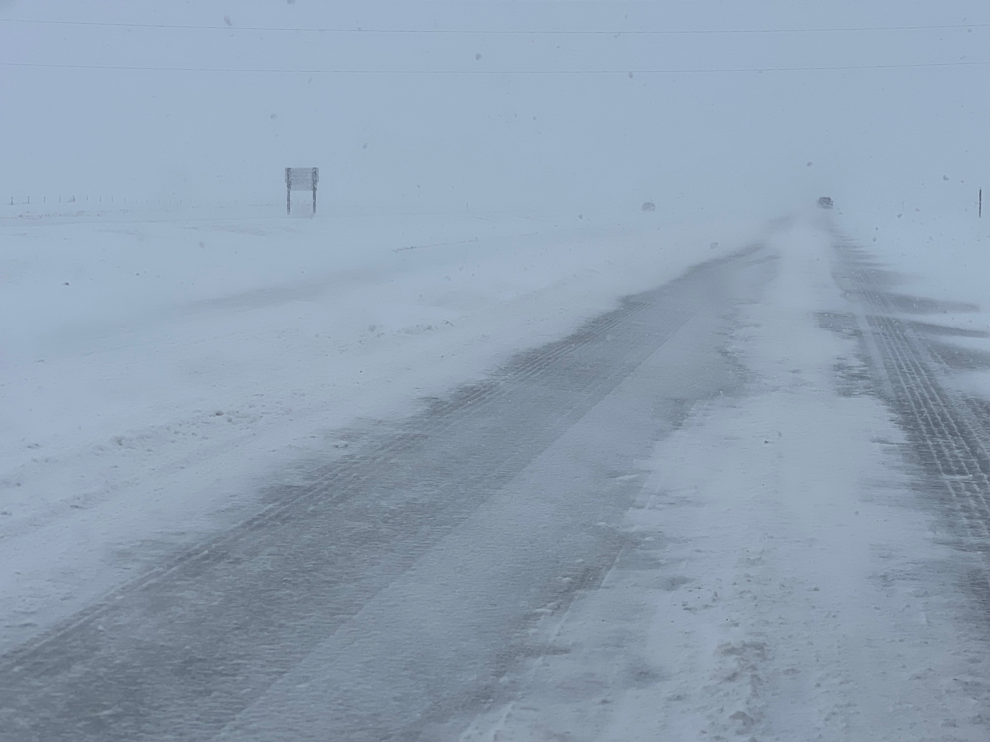
| Snowy roads and low visibility in falling snow near Richardton, early Sunday afternoon. (NDDOT) |
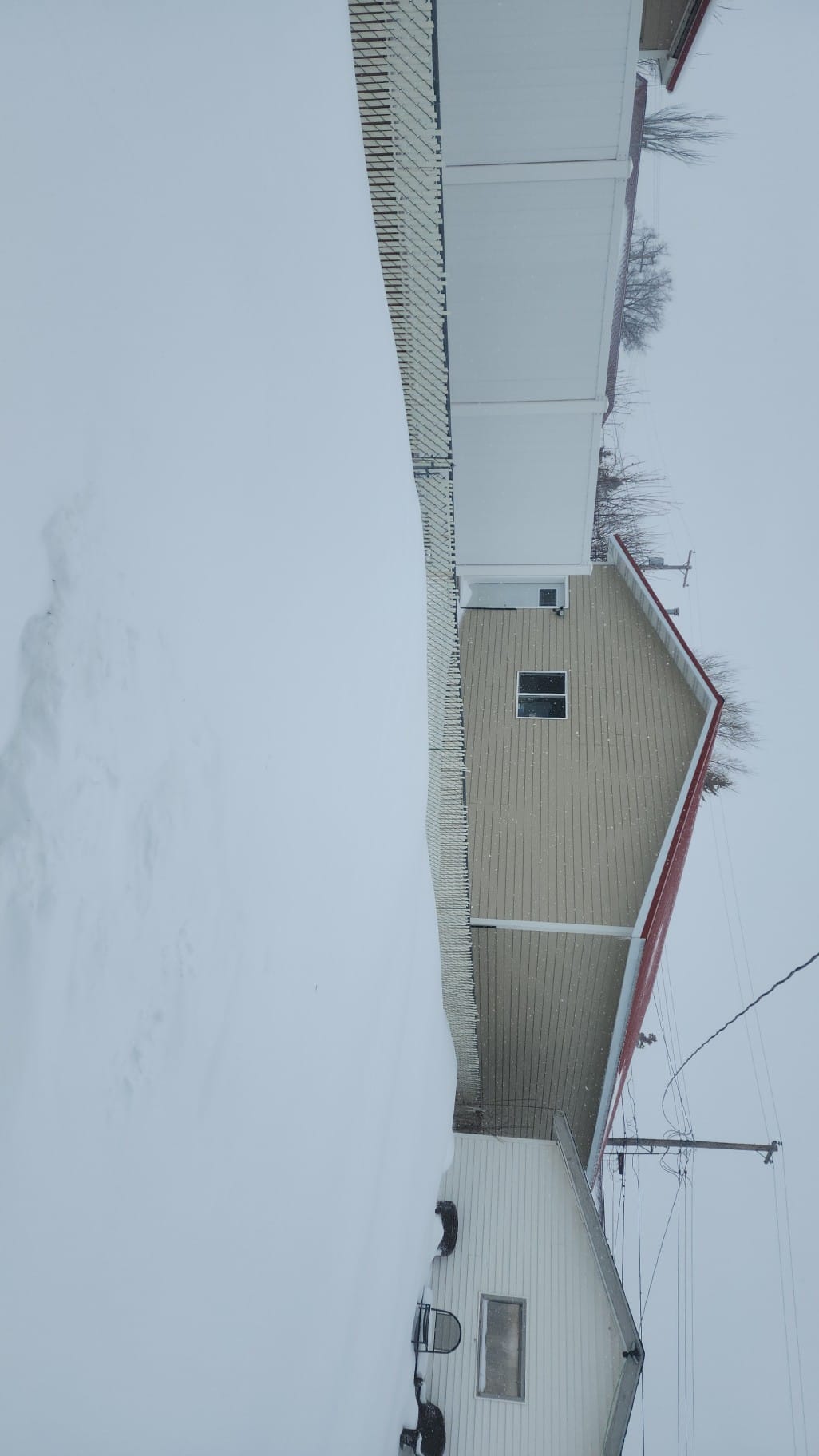
Snow drifts in a backyard in Dickinson. (Lori Ann Ibaceta) |
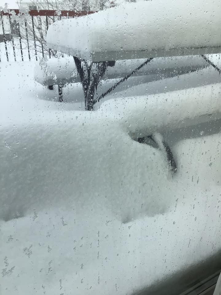
Snow piling up in southeast Mandan. (Lori Meyers Dailey) |
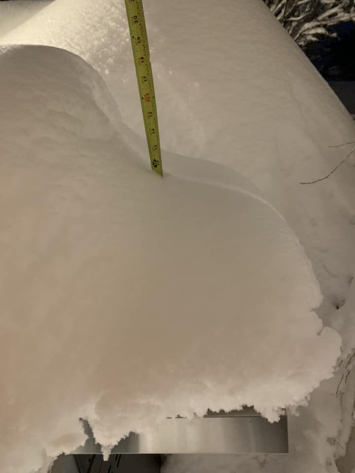
Snow piling up in New Salem. (Andrew Hulm) |
Radar
 |
 |
 |
 |
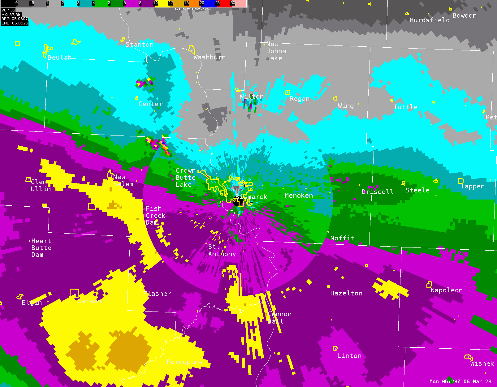
| Radar estimated snow algorithm shows the edge of heavy snow set up right over Bismarck. | MRMS radar data from 6:50am CST through 12:50pm CST on 3/5/2023. | MRMS radar data from 12:50pm CST through 6:50pm CST on 3/5/2023. | MRMS radar data from 6:50pm CST on 3/52023 through 12:50am CST on 3/6/2023. |
Storm Reports
 |
Media use of NWS Web News Stories is encouraged! Please acknowledge the NWS as the source of any news information accessed from this site. |
|

