
Heavy to excessive rainfall is possible today and tonight ahead of and along a cold front crossing portions of Kentucky, middle Tennessee, the Ohio Valley and New Mexico. Tropical Storm Jerry, the tenth named storm of the 2025 season, has formed over the central tropical Atlantic. Jerry is expected to be near or north of the northern Leeward Islands on Thursday and Friday. Read More >
Bismarck, ND
Weather Forecast Office
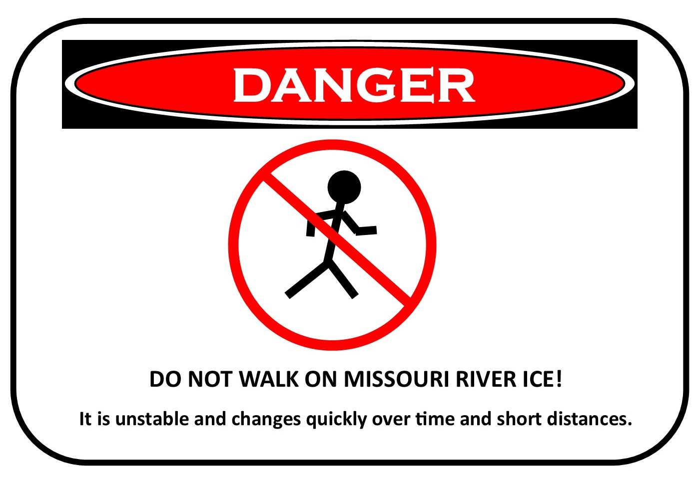
The recent cold weather has led to increased production of ice on
the Missouri River. As recently as Tuesday, significant open water
was present south of Bismarck to the Hazelton area. However, as of
Thursday afternoon the ice had accumulated on the river as far north
as the Kimball Bottoms area, just south of Bismarck/Mandan. Ice is
expected to accumulate on the Missouri River in the Bismarck/Mandan
area by Friday. As sheets of ice accumulate, they restrict flow in
the river and often cause a rapid rise in water levels near the ice.
Historically, this rise has been between 5 and 7 feet. The water
level at the Bismarck gage on the Missouri River as of Thursday
afternoon was at 5.4 feet. As ice continues to accumulate, a rapid
rise to a water level between 9.5 and 12 feet is likely by late
Friday.

Once the ice starts accumulating south of Bismarck, water levels
often rise to their maximum level in less than 24 hours.  Residents
near the river should be watchful for rapidly changing conditions
and report any problematic high water to your local emergency
manager.
US Dept of Commerce
National Oceanic and Atmospheric Administration
National Weather Service
Bismarck, ND
2301 University Drive, Building 27
Bismarck, ND 58504
701-250-4224
Comments? Questions? Please Contact Us.

