
A storm tracking across the Southern U.S. will bring heavy to excessive rainfall over portions of west-central Texas into tonight then from central Texas through the central Gulf Coast on Friday. The Southeast U.S. will see heavier rain Saturday. While much of this rainfall will be beneficial to the drought, excessive rainfall may bring areas of flash and urban flooding. Read More >
|
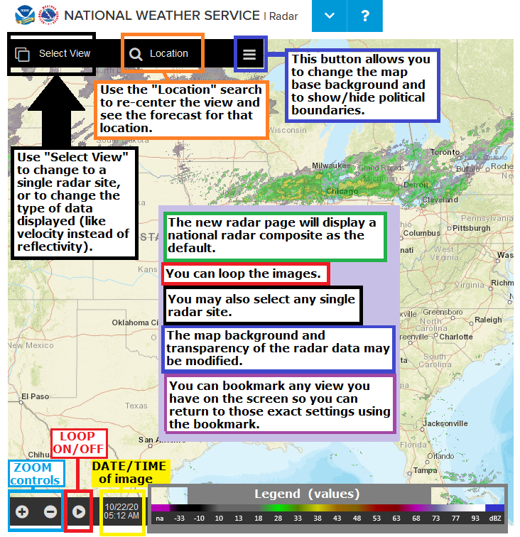
The NWS online radar display has CHANGED! The web address is the same, but there is a completely new interface: The display has many options, and may take some time to become familiar with it. This is a short tutorial on how to use the interface. See the following images for tips, and read on for more details and familiarization exercises/procedures. |
| Single Radar: | Navigation: | Map settings: |
|
Start:
|
 |
|
Zoom in/out:
|
 |
|
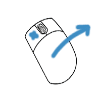
Pan (slide the map around):
|
 |
|
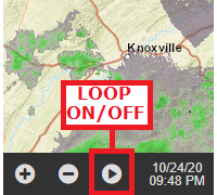
Loop the image:
|
 |
|
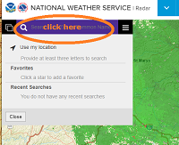
Center on a specific town/location:
|
 |
|
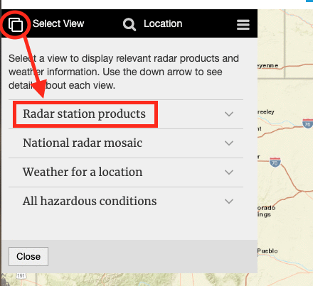
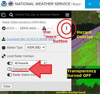
Select a specific/single radar site:
|
|
|
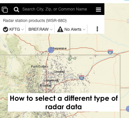
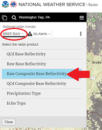
View different radar data for a single radar site:
|
|
|
View more options in single-radar mode:
|
|
|
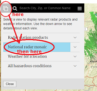
Go back to the National Radar Mosaic:
|
---- then -----
|
|
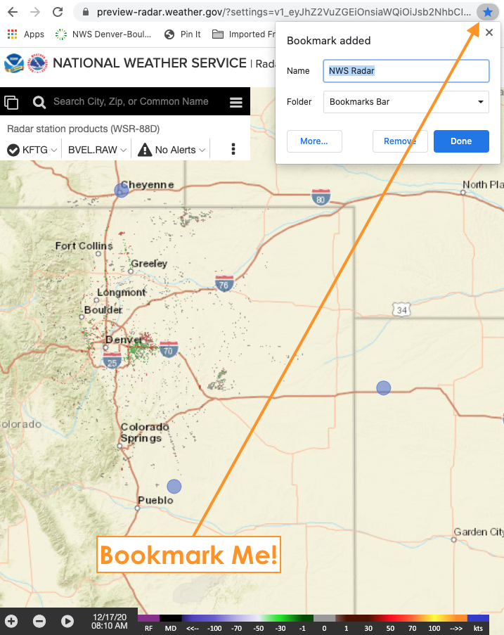
You can BOOKMARK any view you like ! Firm up your settings/preferences (location/zoom/radar image type/data/map background/transparency/loop) before you hit the: "bookmark this page" button/feature on your browser. |
 |
|
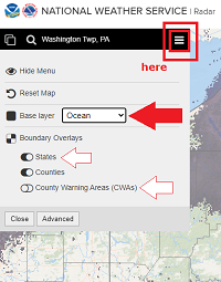
Choose Map Backgrounds:
|
-- changing transparency in done in single radar mode "more" window --
|


 Send Us a Report