
Isaias is expected to approach the northern Gulf Coast as a strong hurricane on Friday, bringing life-threatening storm surge, damaging winds, heavy rain, and severe thunderstorms across the region and Southeast into the weekend, with risks of flooding and tornadoes. Read More >
Des Moines, IA
Weather Forecast Office
WPC Excessive Rainfall Outlook (ERO) Graphics
 |
 |
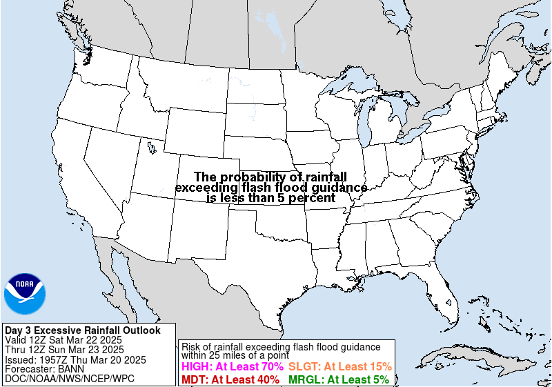 |
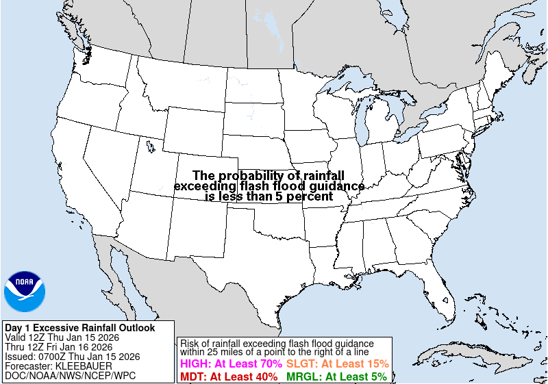
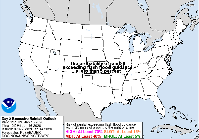
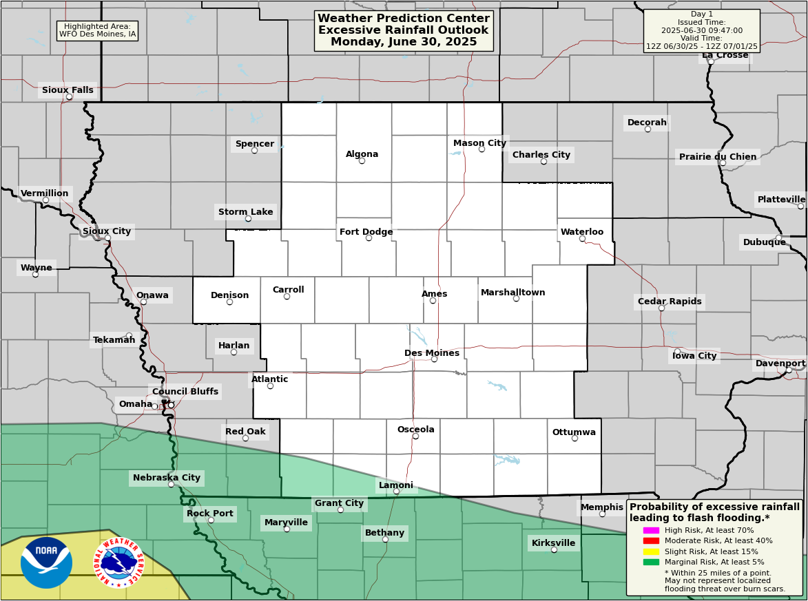
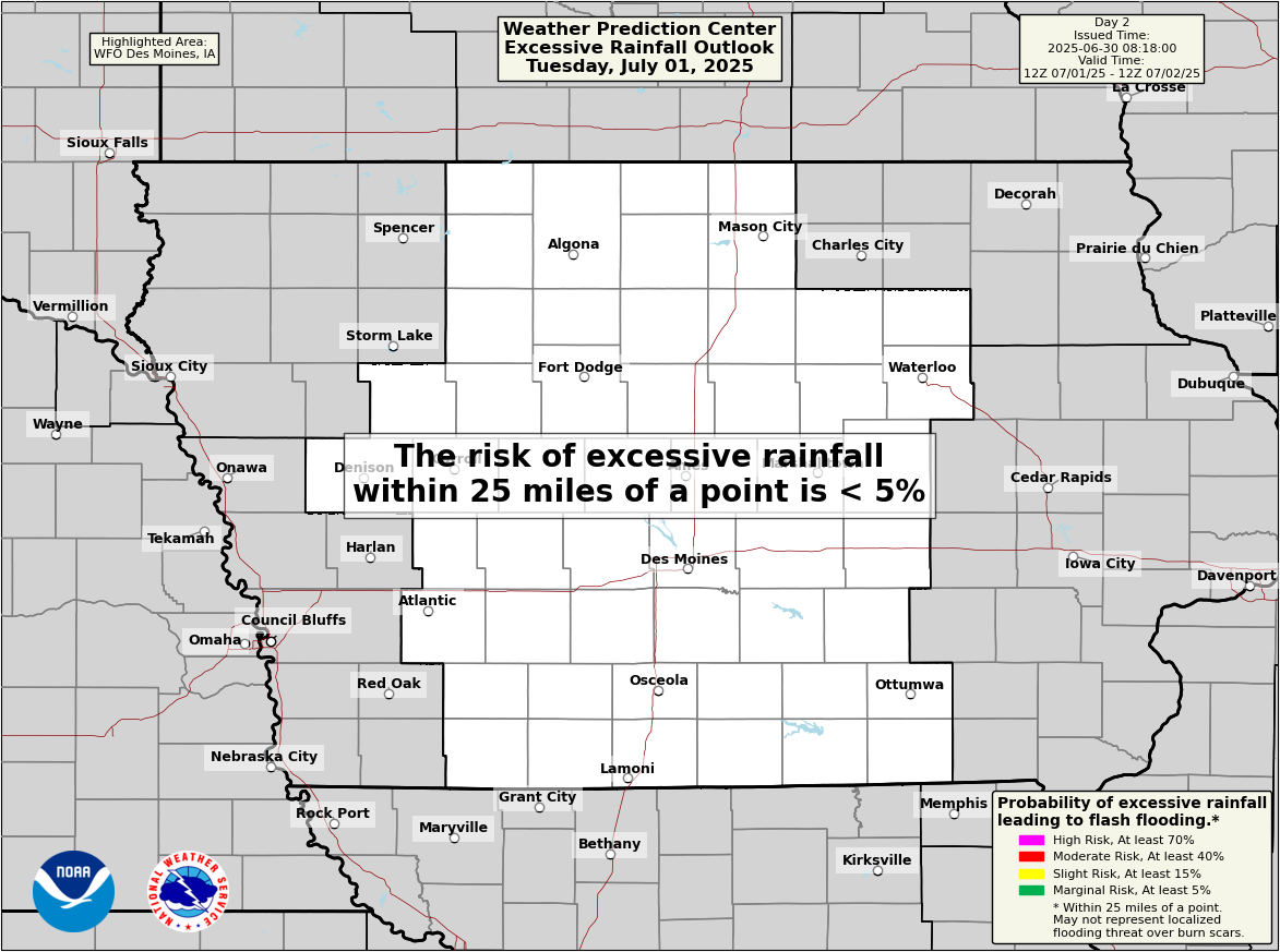
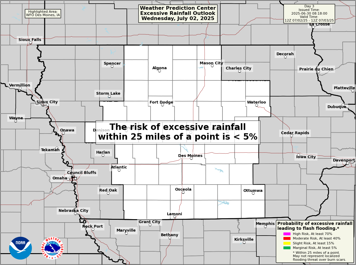
| Day 1 | Day 2 | Day 3 |
 |
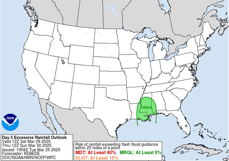 |
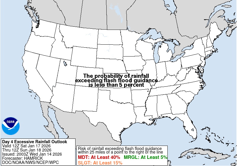
| Day 4 | Day 5 |
Note: delays may exist for the below ERO graphics updates after the national ones.
 |
 |
 |
| Day 1 | Day 2 | Day 3 |
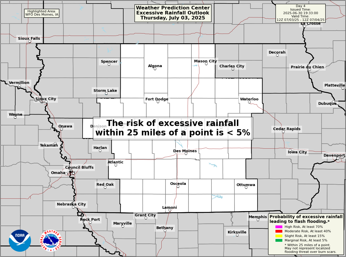 |
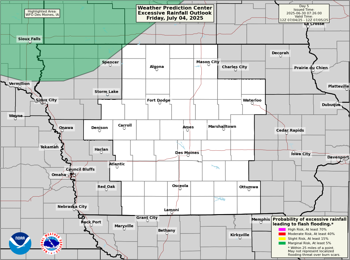 |
| Day 4 | Day 5 |
Iowa Environmental Mesonet (IEM) Graphics
Note: these graphics may update before the above WPC local graphics.
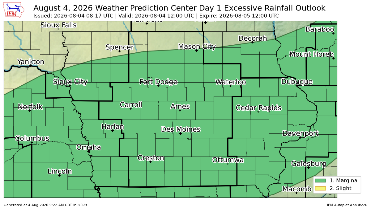 |
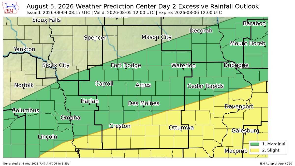 |
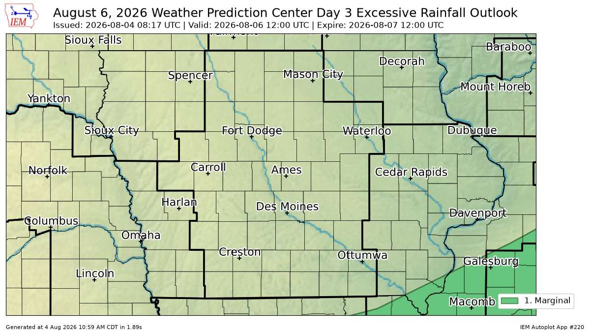 |
| Day 1 | Day 2 | Day 3 |
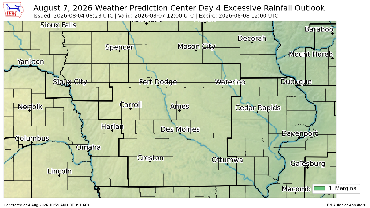 |
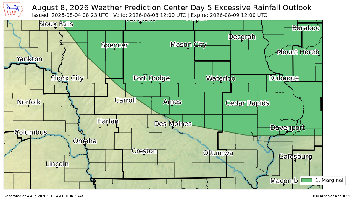 |
| Day 4 | Day 5 |
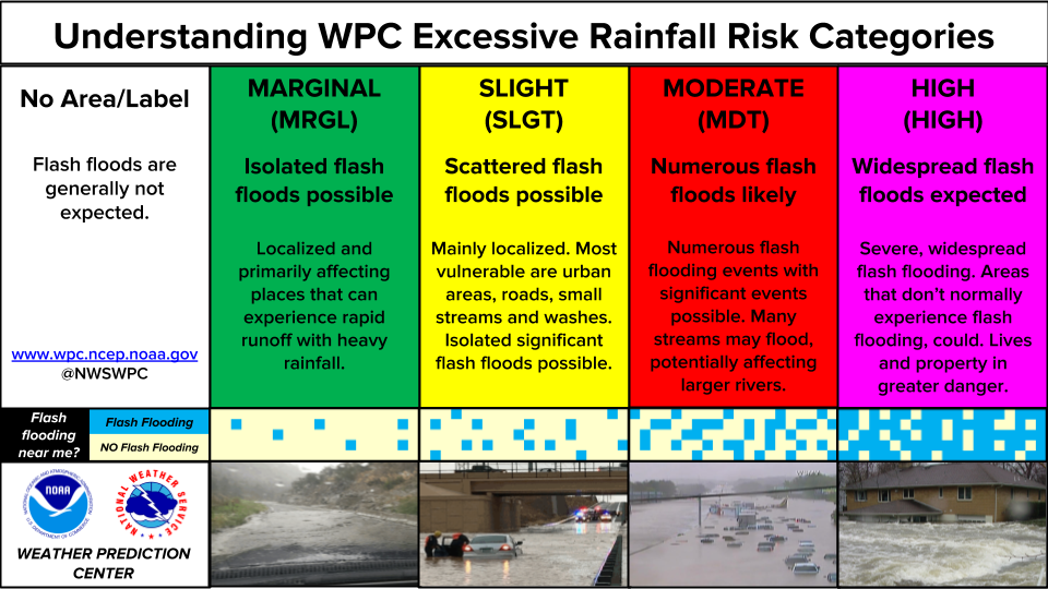 |
| ERO Category Information |
NWC Flood Hazard Outlook (FHO) Graphics
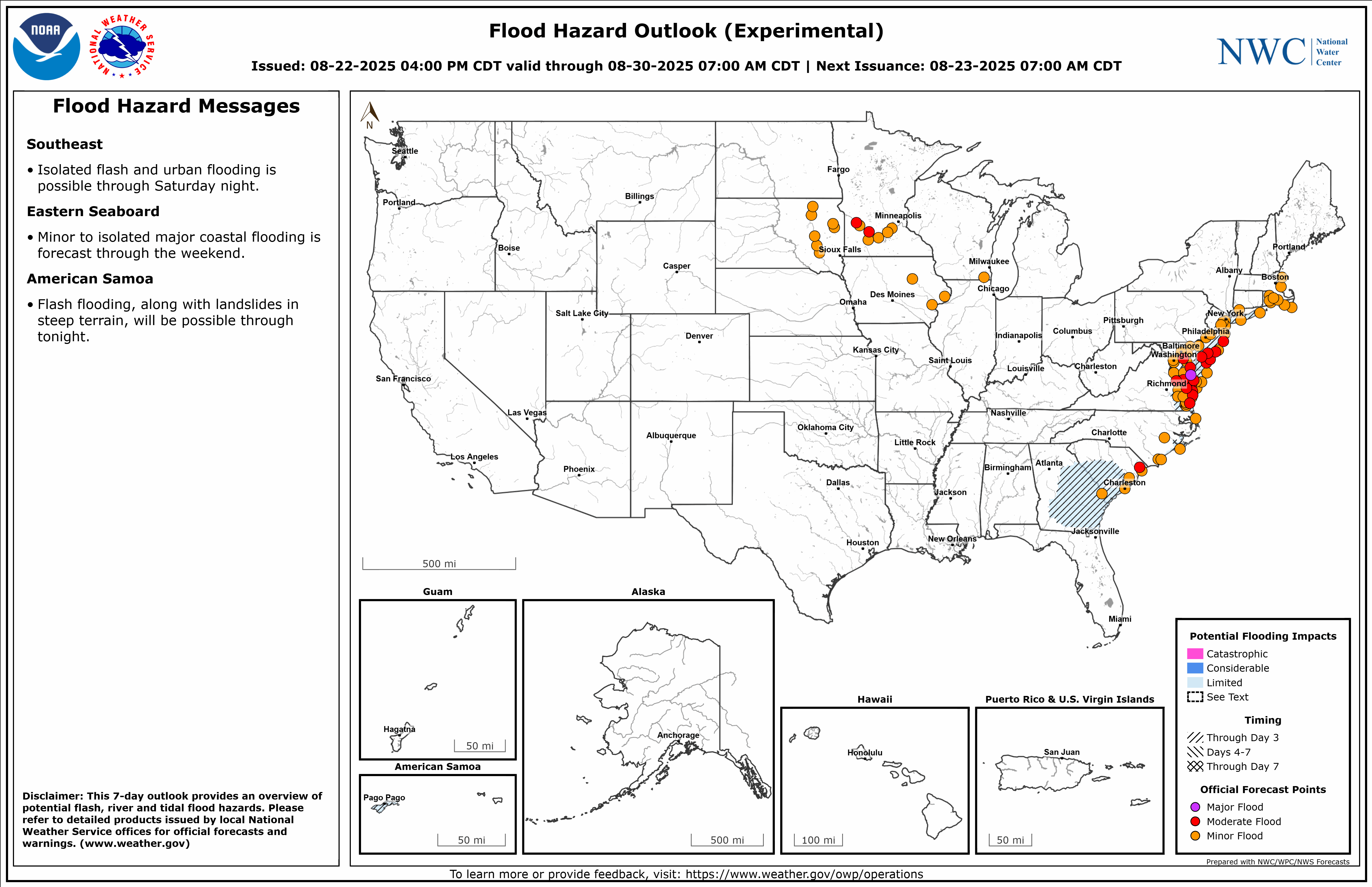 |
| NWC Flood Hazard Outlook (FHO) |
Note: delays may exist for the below FHO graphics updates after the national ones.
 |
 |
 |
| Days 1-3 | Days 4-7 | Days 1-7 |
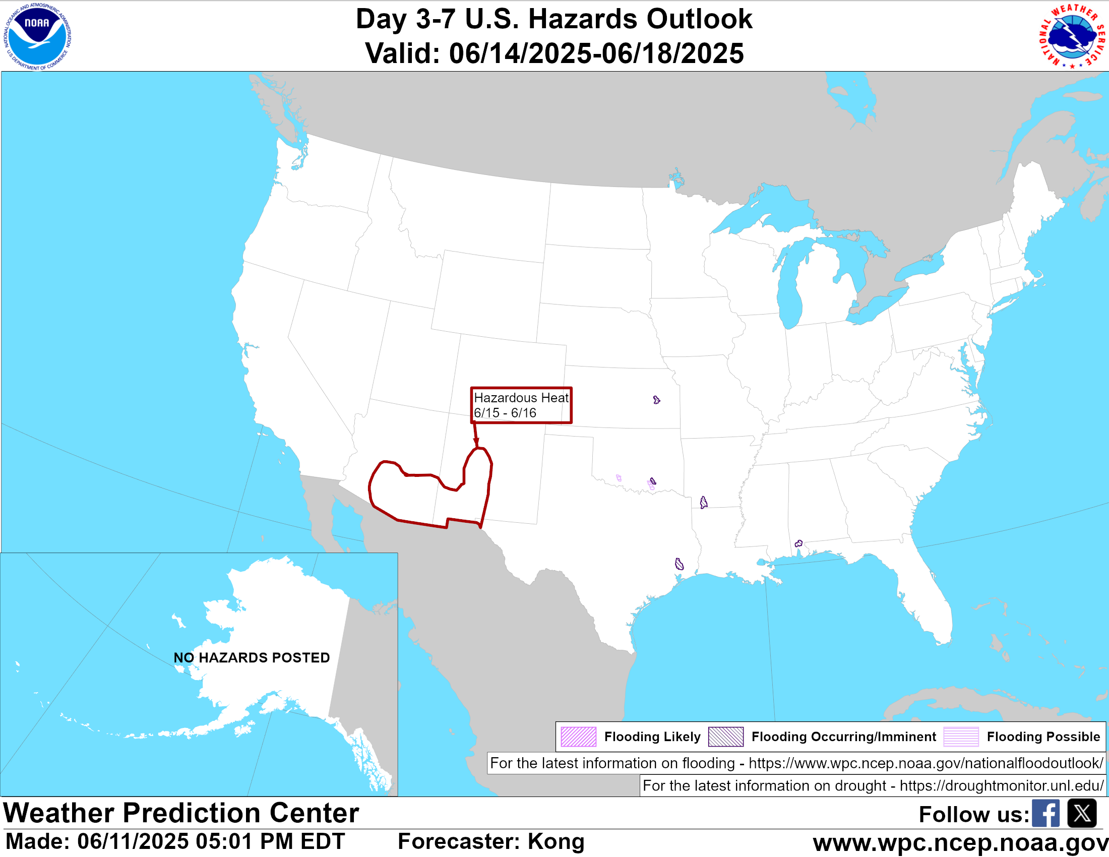
General Hazards Outlook Graphics
 |
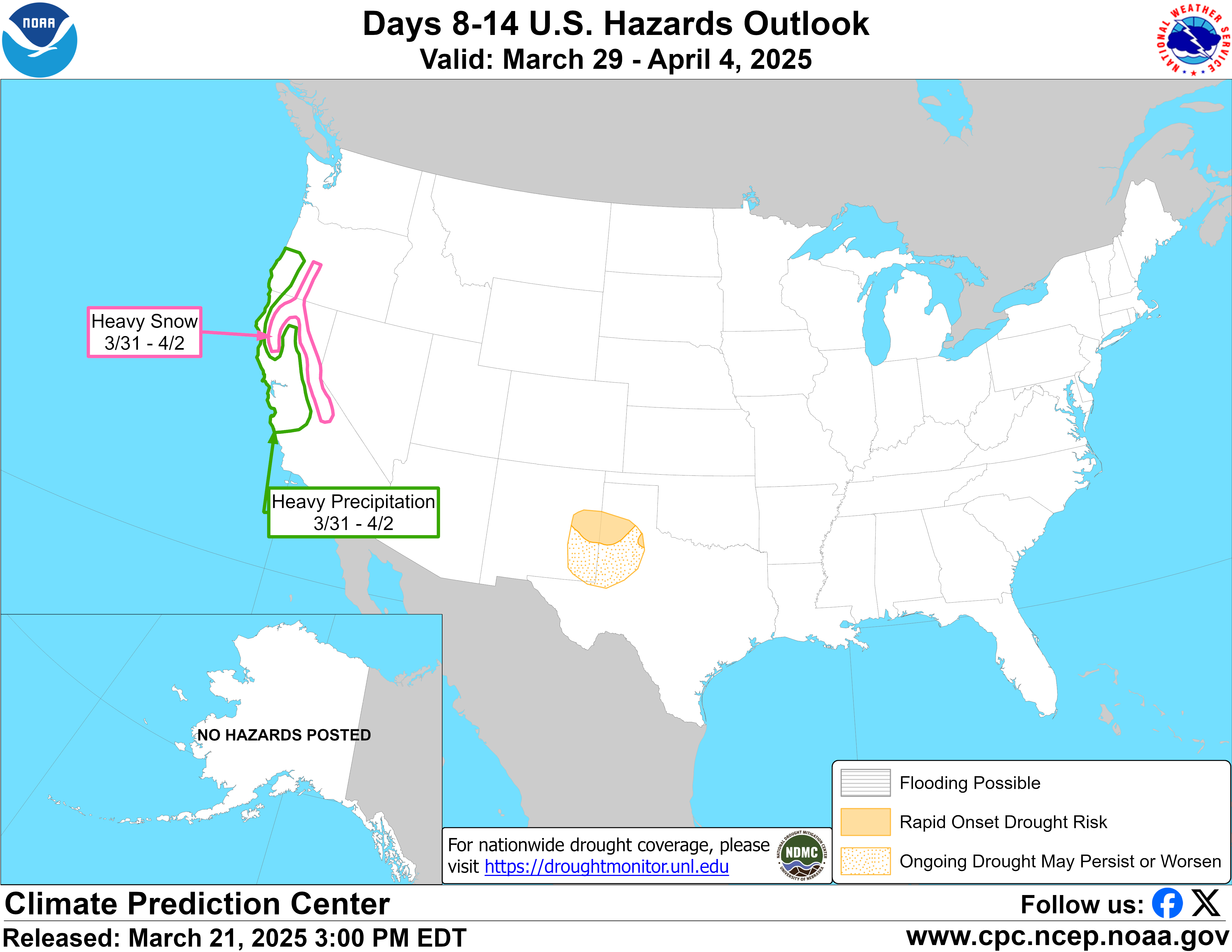 |
| Days 3-7 All Hazards Outlook | Days 8-14 All Hazards Outlook |

US Dept of Commerce
National Oceanic and Atmospheric Administration
National Weather Service
Des Moines, IA
9607 NW Beaver Drive
Johnston, IA 50131-1908
515-270-2614
Comments? Questions? Please Contact Us.


 Follow us on X
 Follow us on Facebook
 Follow us on YouTube
 DMX RSS Feed