Quad Cities, IA/IL
Weather Forecast Office
|
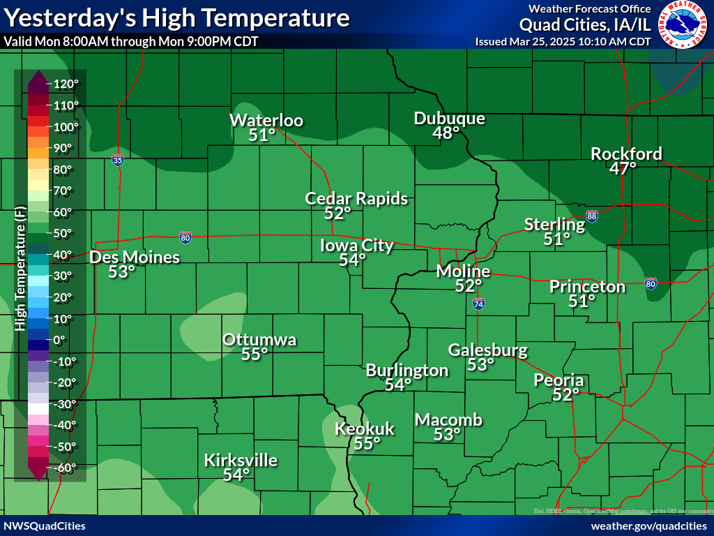
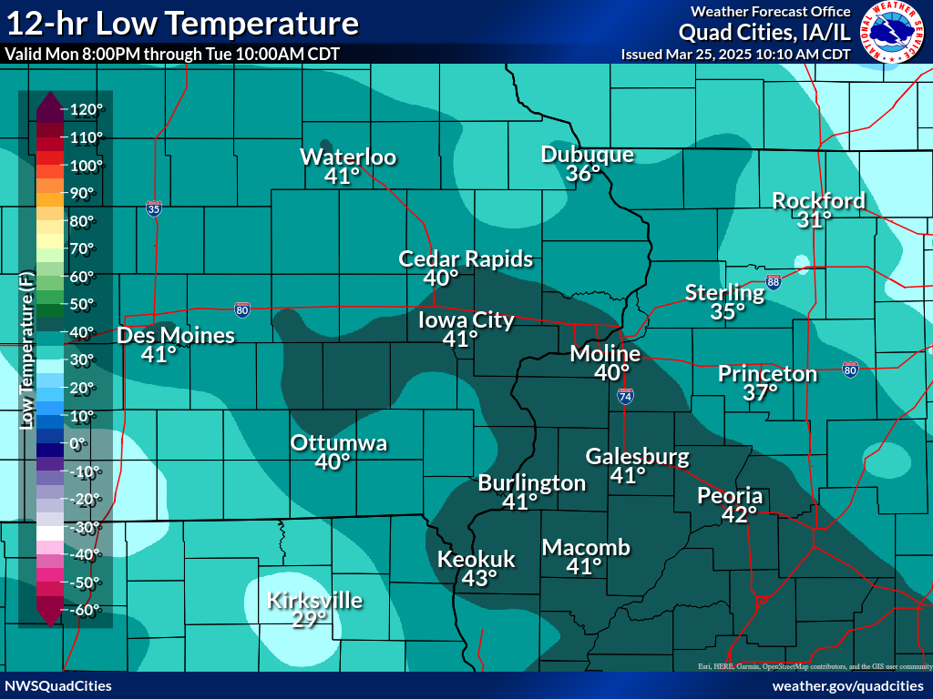
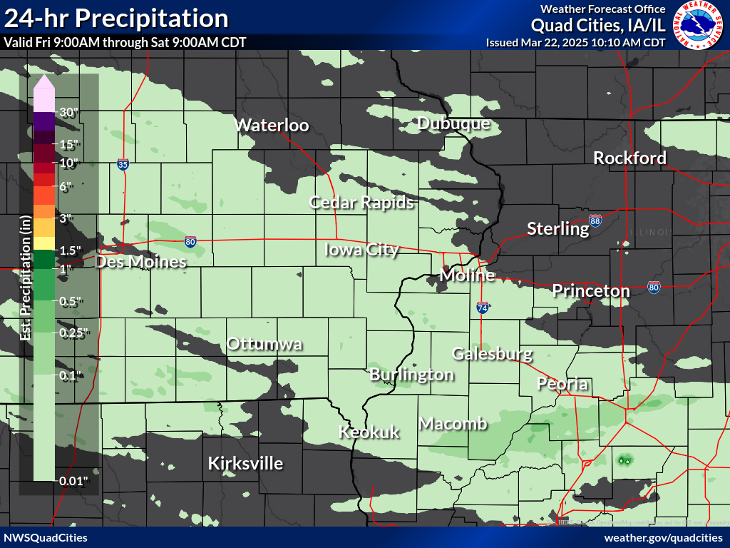
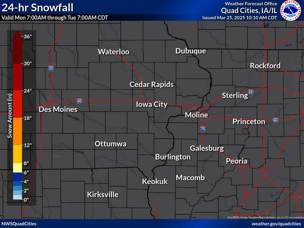
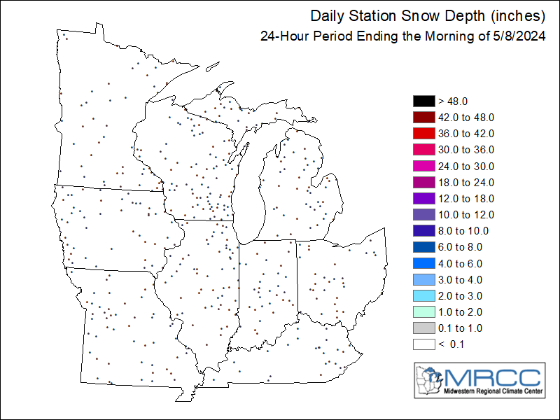
Daily Temperature/Precipitation Maps and Tables
Maps usually updated by 10 am. Click image to enlarge and view text listing.
Disclaimer: Sampled values on map may not reflect actual readings. These can be found in the table below the map.
|
||||
| Calendar Day High Temperature Yesterday | 6 pm - 6 am CST Low Temperature | |||
|
|
|
|||
|
|
|
|||
|
|
||||
|
Five years of archived daily data for our climatology reporting stations can be found by selecting Preliminary Climatology Data (CF6) on our climate page. Daily Records, Observations, and Normals for our primary climatology reporting stations can be found on our climate graphs page. These data are preliminary and have not undergone final quality control by the National Climatic Data Center (NCDC). Therefore, these data are subject to revision. Final and certified climate data can be accessed at the NCDC - https://www.ncdc.noaa.gov. |
Hazardous Weather
Watches, Warnings, & Advisories
Briefing
Hazards Page
View Local Storm Reports
Submit Report
Road Reports
Text Products
Forecasts
Fire Weather
Briefing
Hourly Forecast Graphs
Forecast Discussion
User-Defined Area
Activity Planner
Local Forecasts
Space Weather
Text Products
River Graphs
Airport Forecasts
Snow and Ice Probabilities
Winter Storm Severity Index (WSSI)
Current Conditions
Observations
Drought Monitor
Radar
Satellite
Text Products
Rivers and Lakes
River Graphs
Sunrise/Sunset Tables
Seasons (Equinoxes/Solstices)
Road Reports
Past Weather
Recent Observation History
Climate Summaries
Past Events
Climate Normals/Averages
Climate Records
Climate/Almanac Data
Holiday Climatology
Climate Maps
Monthly Climate Stats
Annual Climate Stats
Observation Site History
Sunrise/Sunset Tables
US Dept of Commerce
National Oceanic and Atmospheric Administration
National Weather Service
Quad Cities, IA/IL
9040 N Harrison Street
Davenport Municipal Airport
Davenport, IA 52806-7326
563-386-3976
Comments? Questions? Please Contact Us.