Severe thunderstorms will continue today across portions of the Southeast as this system tracks offshore. Meanwhile, dry and breezy conditions will increase fire weather concerns for areas of central Florida today; The threat shifts into portions of the northern Plains on Friday. Record warmth will spread for the southern Plains, Southwest, central Great Basin and interior California next week. Read More >
 |
|||||||||||||||||||
|
|||||||||||||||||||
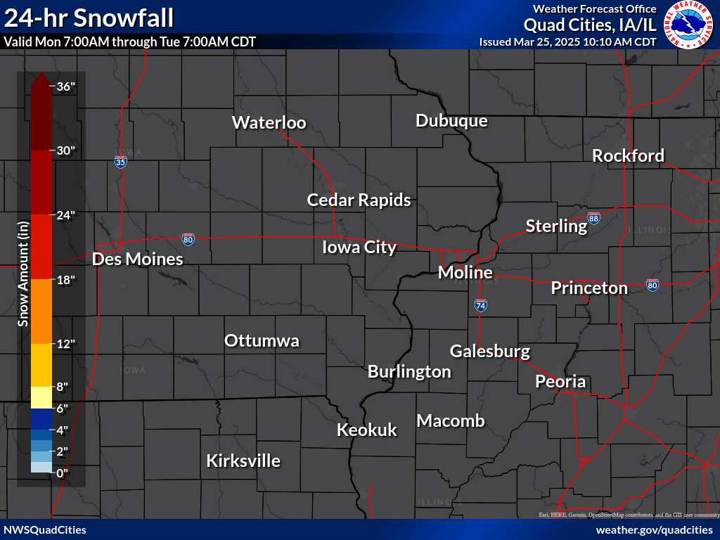
24 hour snow fall in inches, for eastern Iowa, northwest and west central Illinois, and northeast Missouri. Reported between Midnight and 9 AM, Wednesday October 01, 2025. ....IOWA.... Farmington 0.4 NNW 0.0 Farmington 2.4 W 0.0 Farmington 0.3 NW 0.0 Farmington 3.5 W 0.0 Burlington 6.5 SSW 0.0 New London 1.0 W 0.0 New London 1.5 SW 0.0 Fairfield 0.7 SE 0.0 Wapello 0.2 S 0.0 Wellman 4.0 E 0.0 Ainsworth 7.4 N 0.0 Hayesville 0.2 SW 0.0 Davenport 4.3 NE 0.0 Eldridge 0.7 SSW 0.0 Charlotte 1.9 WNW 0.0 Iowa City 3.5 E 0.0 Iowa City 2.0 WSW 0.0 Iowa City 1.4 NNE 0.0 Iowa City 2.3 E 0.0 Iowa City 2.7 E 0.0 West Branch 2.3 SSW 0.0 Solon 0.4 WNW 0.0 North Liberty 0.7 SSW 0.0 Marengo 2.6 SSW 0.0 Parnell 0.1 SSW 0.0 Center Junction 2.6 W 0.0 Marion 0.9 NE 0.0 Cedar Rapids 5.8 N 0.0 Robins 0.8 SE 0.0 Cedar Rapids 2.1 NW 0.0 Central City 6.7 W 0.0 Ely 0.5 SE 0.0 Center Point 0.6 NNW 0.0 Marion 1.7 NNW 0.0 Robins 0.4 SSE 0.0 Shellsburg 2.9 S 0.0 Mount Auburn 2.2 NNW 0.0 Dubuque 1.4 WNW 0.0 Asbury 0.4 SW 0.0 Dundee 1.4 NNE 0.0 Hopkinton 5.4 WSW 0.0 Independence 0.9 WNW 0.0 Hampton 0.0 Waukon 3N 0.0 Oelwein 1E 0.0 Fayette 0.0 Williamsburg 0.0 Muscatine 2N 0.0 Manchester 0.0 Lowden 0.0 Dubuque LD11 0.0 Anamosa 3 SSW 0.0 NWS Johnston* 0.0 ....ILLINOIS.... Warsaw 5.8 SE 0.0 Dallas City 3.0 SSE 0.0 Stronghurst 0.4 SSW 0.0 Walnut 5.3 ENE 0.0 Colona 0.5 ESE 0.0 Galva 0.4 NW 0.0 Geneseo 2.0 NW 0.0 New Windsor 2.0 N 0.0 Galva 2.7 NE 0.0 Taylor Ridge 1.1 N 0.0 Morrison 3.2 E 0.0 Lanark 4.2 NNW 0.0 Lanark 5.3 N 0.0 Mount Carroll 6.8 NNW 0.0 Davis 1.5 NNE 0.0 Lena 0.3 SSE 0.0 Freeport 4.3 W 0.0 Davis 0.5 N 0.0 Galena 0.8 WSW 0.0 Stockton 4.6 NW 0.0 East Dubuque 1.7 SE 0.0 Stockton 3.4 NNE 0.0 Steward 0.0 Paw Paw 0.0 Romeoville 0.0 Stockton 0.0 Macomb 0.0 Gladstone LD18 0.0 Elizabeth 0.0 Aledo 0.0 ....MISSOURI.... Memphis 0.0 ....WISCONSIN.... Whitewater 0.0 Monroe 0.0 Beloit-College 0.0 Viroqua 0.0 La Crosse WFO 0.0 ....MINNESOTA.... Theilman 1SSW 0.0 Grand Meadow 0.0 |
|||||||||||||||||||