
Scattered thunderstorms with severe gusts, hail and a tornado risk are possible near a cold front from the Ohio Valley to the Mid-Atlantic tonight. Tropical Storm Bertha is expected to bring tropical storm conditions to portions of the Gulf Coast from the panhandle of Florida into Louisiana through Wednesday. Read More >
Overview
|
An upper level low spun over Iowa Wednesday, May 29, 2019 sparking some showers and thunderstorms during the late afternoon and evening. Some of the storms spawned some funnel clouds; three of which touched down becoming tornadoes. |
RADAR LOOP (Courtesy: IEM) 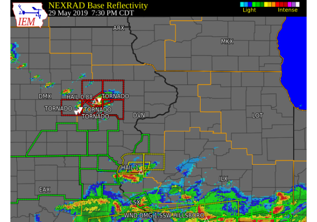 |
Tornadoes:
|
Tornado - 1 SE Victor, IA
Track Map 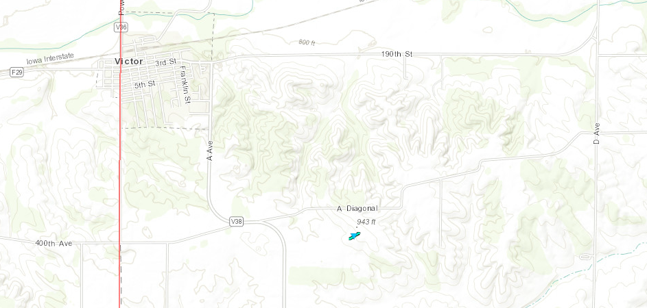 
|
||||||||||||||||
|
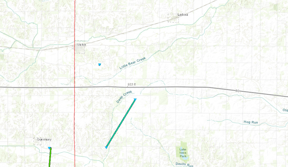
Tornado - 4 E GUERNSEY, IA
|
||||||||||||||||
|
Tornado - 4 NW KALONA, IA
Track Map 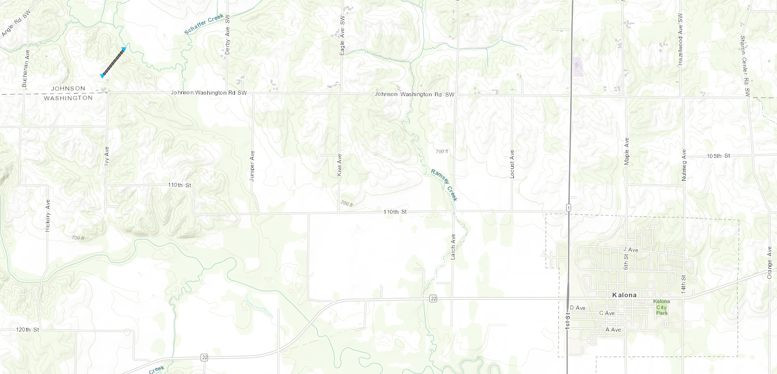
|
||||||||||||||||
The Enhanced Fujita (EF) Scale classifies tornadoes into the following categories:
| EF0 Weak 65-85 mph |
EF1 Moderate 86-110 mph |
EF2 Significant 111-135 mph |
EF3 Severe 136-165 mph |
EF4 Extreme 166-200 mph |
EF5 Catastrophic 200+ mph |
 |
|||||
 |
Media use of NWS Web News Stories is encouraged! Please acknowledge the NWS as the source of any news information accessed from this site. |
|

