Atlanta/Peachtree City, GA
Weather Forecast Office
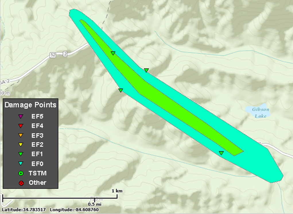
August 20, 2014 Murray & Gilmer County Tornado
Murray & Gilmer County Near Gibson Lake:
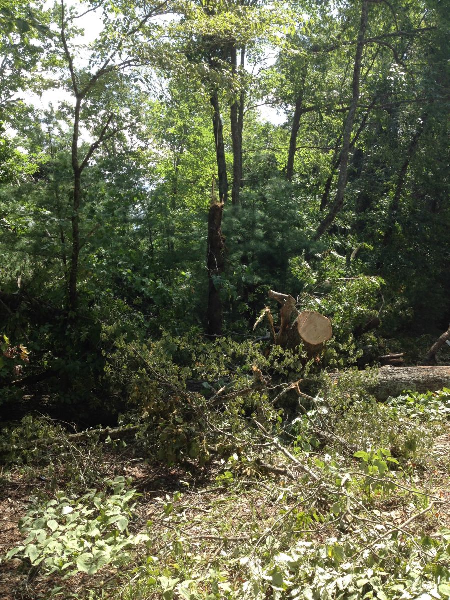
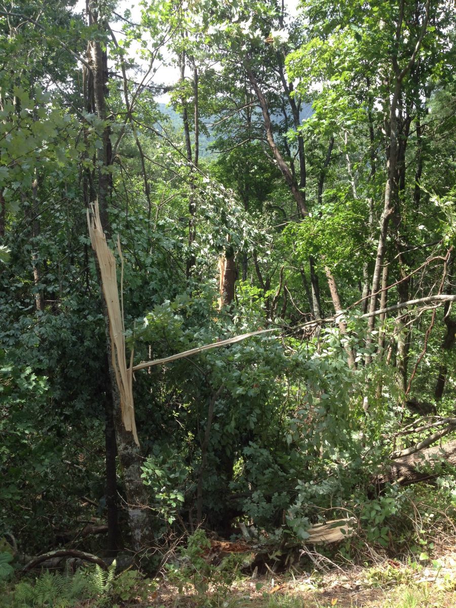
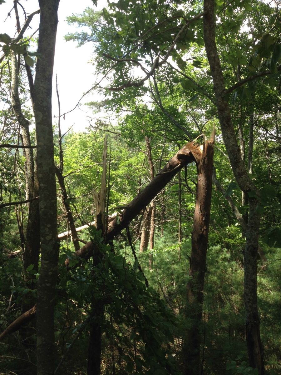
The National Weather Service survey team determined that an EF1 Tornado touched down in far eastern Murray County before crossing the Turkey Mountain ridgeline and moving southeast into extreme northwestern Gilmer County. Once it crossed into Gilmer County the tornado paralleled GA HWY 2 as it snapped and uprooted trees. The tornado was on the ground for approximately 2 minutes before lifting prior to the intersection of Barnes Dr. and GA HWY 2. In total, hundreds of trees were downed. Straight line winds that accompanied the storm that produced this tornado also caused damage to nearby homes, producing minor roof damage. Approximately 4000 people were without power following this event.
|
|
Snapped & Uprooted trees in Gilmer County.
|
|
 |
|
|
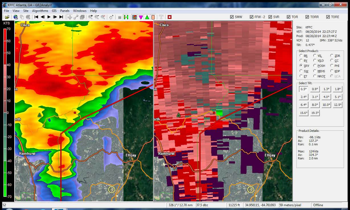 |
| Gilmer Tornado Radar Image |
Current Hazards
Local
Submit Storm Report
Outlooks
Georgia Road Conditions
Nationwide
Local Storm Reports
Forecasts
Aviation Weather
Activity Planner
Recreational Forecast
Fire Weather
Forecast Discussion
Incident Support
Tropical Weather
Local
Computer Models
Graphical
Current Weather
Maps
Rivers/Lakes
Satellite Images
Observations
Radar Imagery
Warner Robins
Peachtree City
Regional Loop
Nationwide
US Dept of Commerce
National Oceanic and Atmospheric Administration
National Weather Service
Atlanta/Peachtree City, GA
4 Falcon Drive
Peachtree City, GA 30269
770.486.1133
Comments? Questions? Please Contact Us.