National Weather Service United States Department of Commerce

Flooding and Rip Current Concerns from Chantal; Lingering Flood Watches in Central Texas

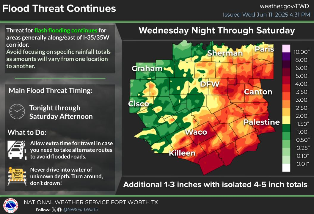
Chantal is now a Tropical Depression. Flash flood concerns continue across portions of central North Carolina into Monday. Life-threatening surf and rip currents conditions are expected to continue at beaches along the U.S. East Coast from northeastern Florida to the Mid-Atlantic states during the next day or so. Flood Watches and recovery continue across central Texas. Read More >

Click a location below for detailed forecast.

Last Map Update: Mon, Jul 7, 2025 at 2:40:33 am CDT

A new Flood Watch has been issued for Central Texas through 7 PM Monday where 1 to 3 inches of rain are forecast, with isolated (10% coverage) amounts of up to 5 inches. Flooding likely won't be as widespread today, but recent rainfall has worsened the flood threat. Remember, Turn Around, Don't Drown! Use extra caution at low water crossings & poor drainage areas and NEVER drive through barricades.
Isolated to scattered showers and storms will continue on and off through Wednesday for portions of North and Central Texas. Locally heavy rain and flooding will remain the biggest concerns, particularly for those areas that have already received heavy rain. Highs will be in the upper 80s to low 90s.
After Wednesday, expect hotter and rain-free weather to prevail Thursday through the weekend. Highs will climb into the 90s regionwide with peak heat index values ("Feels Like" temps) up to 107 degrees. Stay hydrated and take frequent breaks if spending time outdoors.

Text Product Selector (Selected product opens in current window)
Latest Text Products Issued (Experimental)
Safe Rooms Icon Cooperatirve Rainfall (CoCoRaHs) icon Storm Ready Icon AirNow Icon