National Weather Service United States Department of Commerce

Additional Heavy Rain and Flooding Concerns in Central Texas; Tropical Storm Chantal to Impact the Coastal Carolinas

Heavy rainfall and flooding concerns remain for today across Central Texas and the Hill Country, with scattered thunderstorms expected this afternoon and evening. Tropical Storm Chantal has formed and will bring heavy rainfall and flooding concerns to portions of the coastal Carolinas. Life-threatening surf and rip currents are expected from the Southeast to Mid-Atlantic. Read More >

Click a location below for detailed forecast.

Last Map Update: Sat, Jul 5, 2025 at 10:58:24 pm CDT
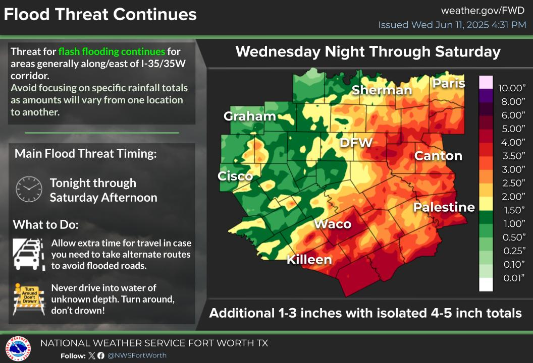
Showers and storms through Saturday will lead to areas of 1 to 3 inches of additional rainfall across Bell, Mills, Lampasas, Coryell, Hamilton, Bosque, and McLennan counties where a Flood Watch is now in effect through 12 PM tomorrow. There is a 10% chance of higher amounts up to 6 inches. Remember, Turn Around, Don't Drown! Use extra caution at low water crossings & poor drainage areas and NEVER drive through barricades.
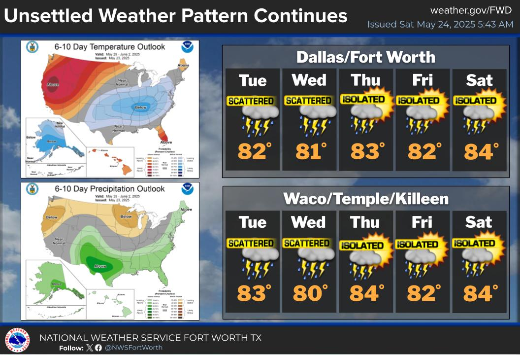
Isolated to scattered showers and storms will continue through Monday for portions of North and Central Texas. Locally heavy rain will keep a threat for flooding, particularly for those areas that have already received heavy rain.
We'll start to observe warming temperatures this next week, with widespread triple digit heat indices returning over the latter half of the week. While rain chances persist each afternoon through Wednesday, the region will become drier.

Text Product Selector (Selected product opens in current window)
Latest Text Products Issued (Experimental)
Safe Rooms Icon Cooperatirve Rainfall (CoCoRaHs) icon Storm Ready Icon AirNow Icon