A heat wave over the Southwest will intensify this week, peaking and expanding into the Intermountain West and northern High Plains this weekend. Critical to extremely critical fire weather conditions are forecast from the Northwest and the northern Great Basin this weekend. Particularly Dangerous Situation Red Flag Warnings have been issued. Read More >
|
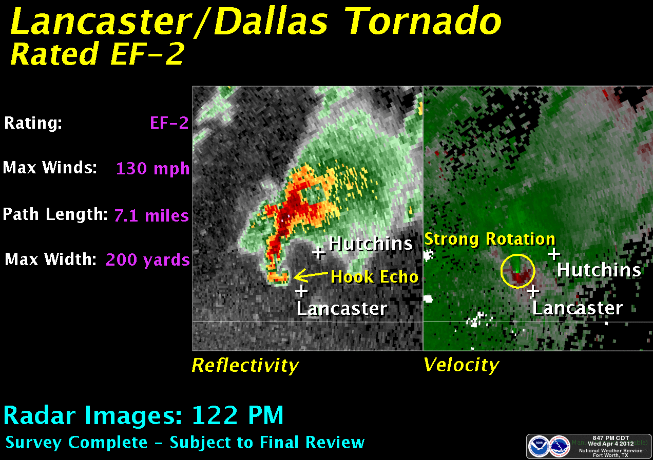
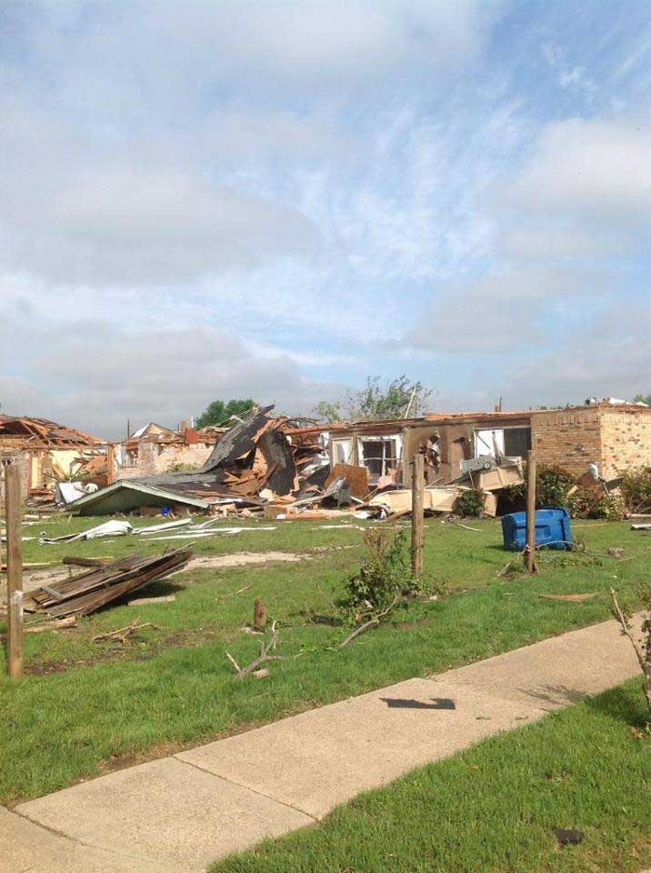
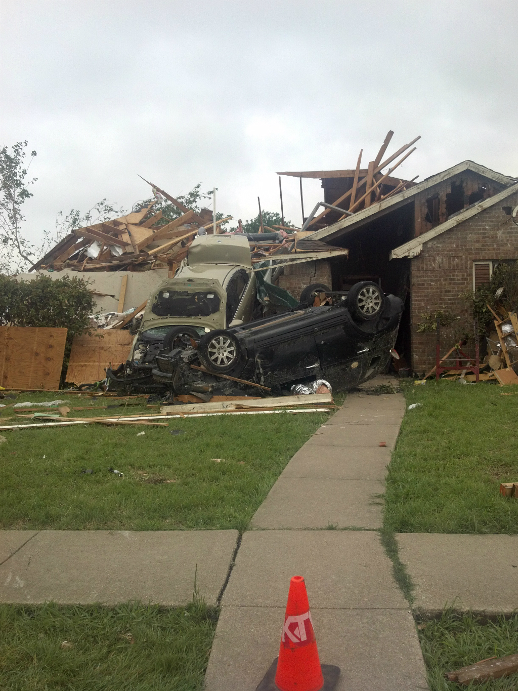
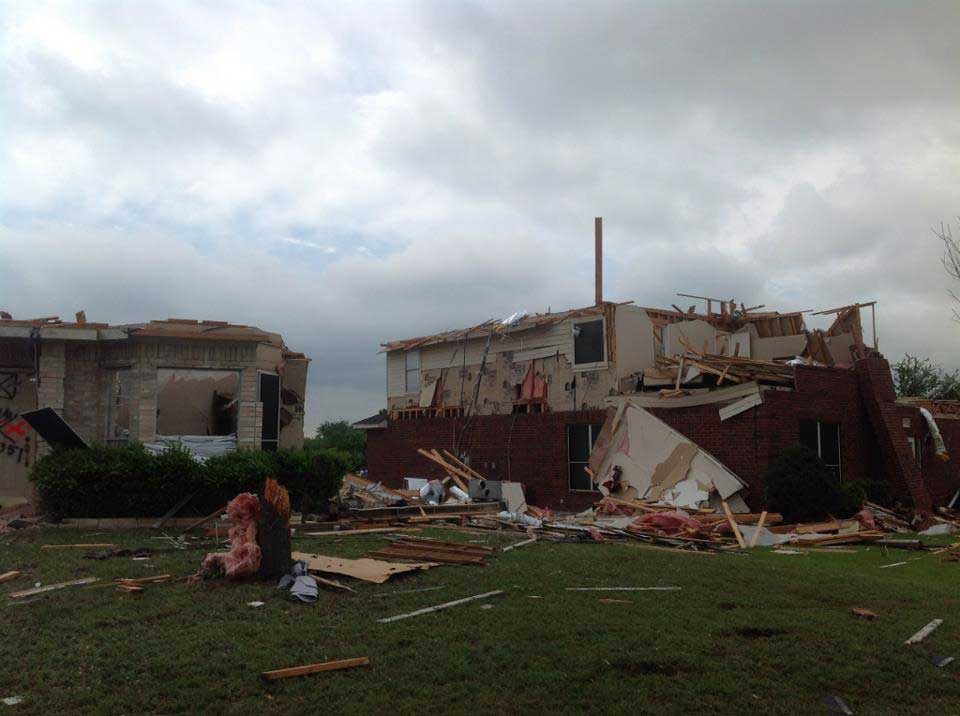
April 3rd 2012 Severe Weather Outbreak
Lancaster/Dallas Tornado Meteorologists from the National Weather Service in Fort Worth have given portions of the damage in Lancaster a preliminary rating of EF-2, with estimated wind speeds up to 130 mph. The tornado had a path length of 7.1 miles and a maximum width of 200 yards. Additional information will be added to this page as it becomes available.
|