National Weather Service United States Department of Commerce

Unsettled Weather Continuing over the Western and Eastern U.S. into Mid Week

Two storm systems, one over the Desert Southwest, and one over the Ohio Valley, will continue to bring unsettled weather and cooler temperatures into the middle of the week. Moderate to heavy rainfall, along with the potential for flash flooding, is forecast from the Ohio Valley to the East Coast. Moderate to locally heavy rainfall is expected over the Northern Rockies, Great Basin and Southwest. Read More >

Click a location below for detailed forecast.

Last Map Update: Mon, May 5, 2025 at 4:12:07 am CDT
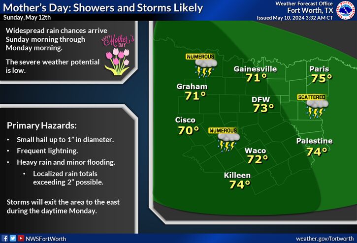
More widespread storms are expected on Tuesday. Some storms could become strong to severe, with large hail, damaging winds, a couple tornadoes, and flash flooding all possible. Pay close attention to the forecast the next couple of days and have your plan in place.
Showers and storms will spread from west to east during the day Monday, with no severe storms anticipated. Highest coverage will be in the afternoon hours west of I-35. Morning lows will bottom out in the 50s, while afternoon highs will peak in the 60s and 70s.
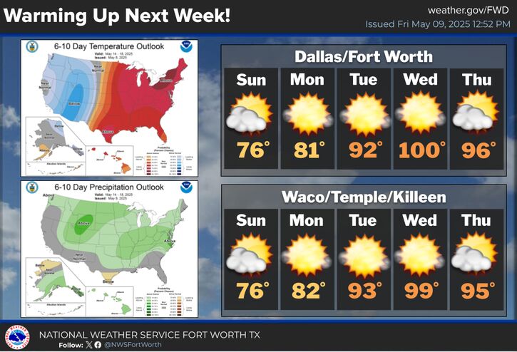
Lower rain chances will persist through the mid-late week. Afternoon highs will mainly peak in the 70s (some 80s on Wednesday), while morning lows will bottom out in the 50s and 60s. The Climate Prediction Center 6 to 10 Day Outlook favors below normal precipitation and below normal temperatures Saturday, May 10th through Wednesday, May 14th.

Text Product Selector (Selected product opens in current window)
Latest Text Products Issued (Experimental)
Safe Rooms Icon Cooperatirve Rainfall (CoCoRaHs) icon Storm Ready Icon AirNow Icon