National Weather Service United States Department of Commerce

Air Quality Concerns; Fire Weather; Extreme Heat; Flash Flooding

Wildfire smoke continues to result in poor air quality from the Upper Midwest into the Northeast. Dangerous heat and fire weather concerns for portions of the Four Corners region into the central Great Basin. Heavy rainfall and flash flooding possible for the Southeast through Monday. For Hawaii, gusty trade winds a drier weather could result in any fires that start to spread rapidly. Read More >

Click a location below for detailed forecast.

Last Map Update: Sun, Aug 3, 2025 at 6:28:35 pm CDT
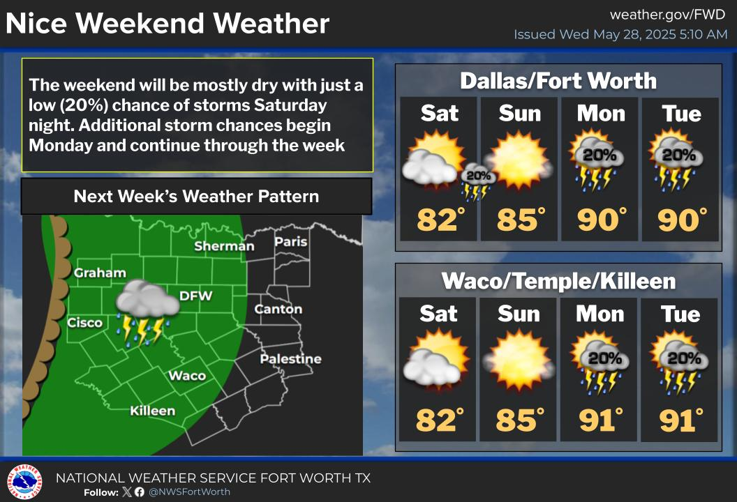
This evening, isolated pop-up thunderstorms are possible near the Red River and throughout Central Texas. While severe weather is not expected, some strong storms could bring frequent lightning, gusty winds, and brief heavy rain.
Another complex of storms is expected to move through the region tonight into Monday. Some storms could become strong with gusty winds, frequent lightning, and heavy rain all possible. There will also be isolated instances of severe wind gusts along the leading edge of the complex.
Rain chances will decrease while temperatures increase next week as high pressure re-strengthens aloft. High temperatures between the low 90s to 103 along with heat indices between the mid 90s to 108 can be expected by mid to late week across the region.

Text Product Selector (Selected product opens in current window)
Latest Text Products Issued (Experimental)
Safe Rooms Icon Cooperatirve Rainfall (CoCoRaHs) icon Storm Ready Icon AirNow Icon