Goodland, KS
Weather Forecast Office
*Experimental - Delays/Errors May Occur
Click on a highway shield to view a forecast highway profile.
Mouse over the maps to see different time periods.
For a loop of the current 6-hr maps for each roadway, click here!
Images are updated at 3am/pm MST / 4am/pm CST (4am/pm MDT / 5am/pm CDT).
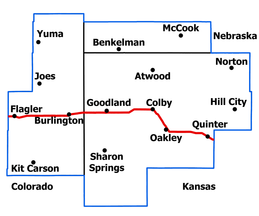
*Cities with an asterisk are not in the WFO Goodland area. Please visit WFO Pueblo, WFO Dodge City and WFO Hastings respectively for these cities official forecasts.
 |
 |
 |
 |
 |
 |
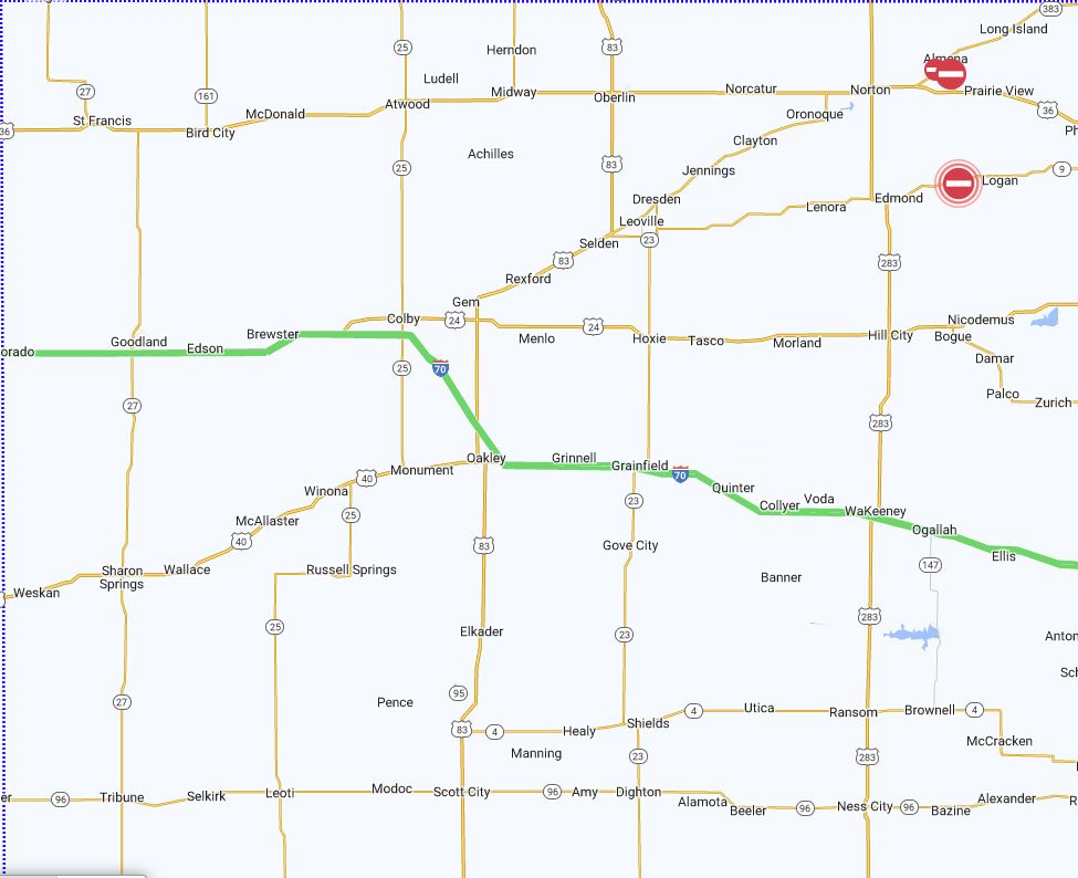
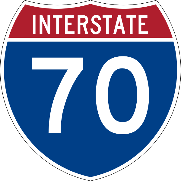
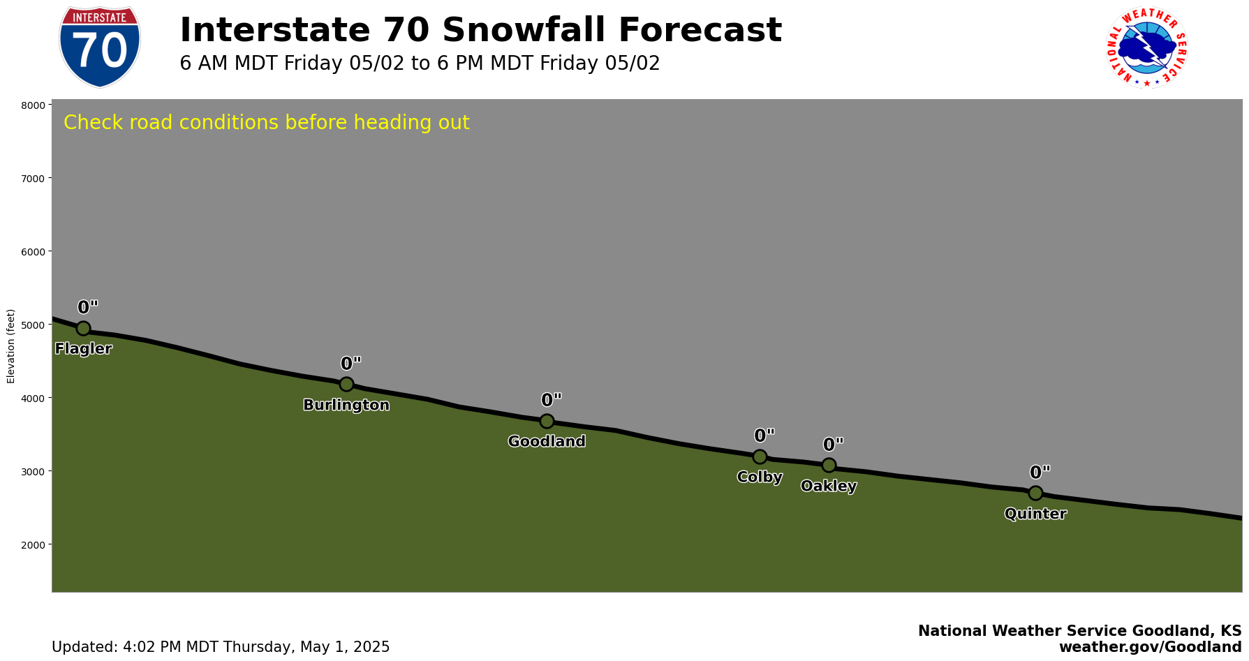
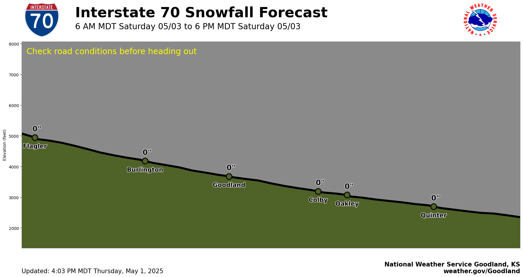
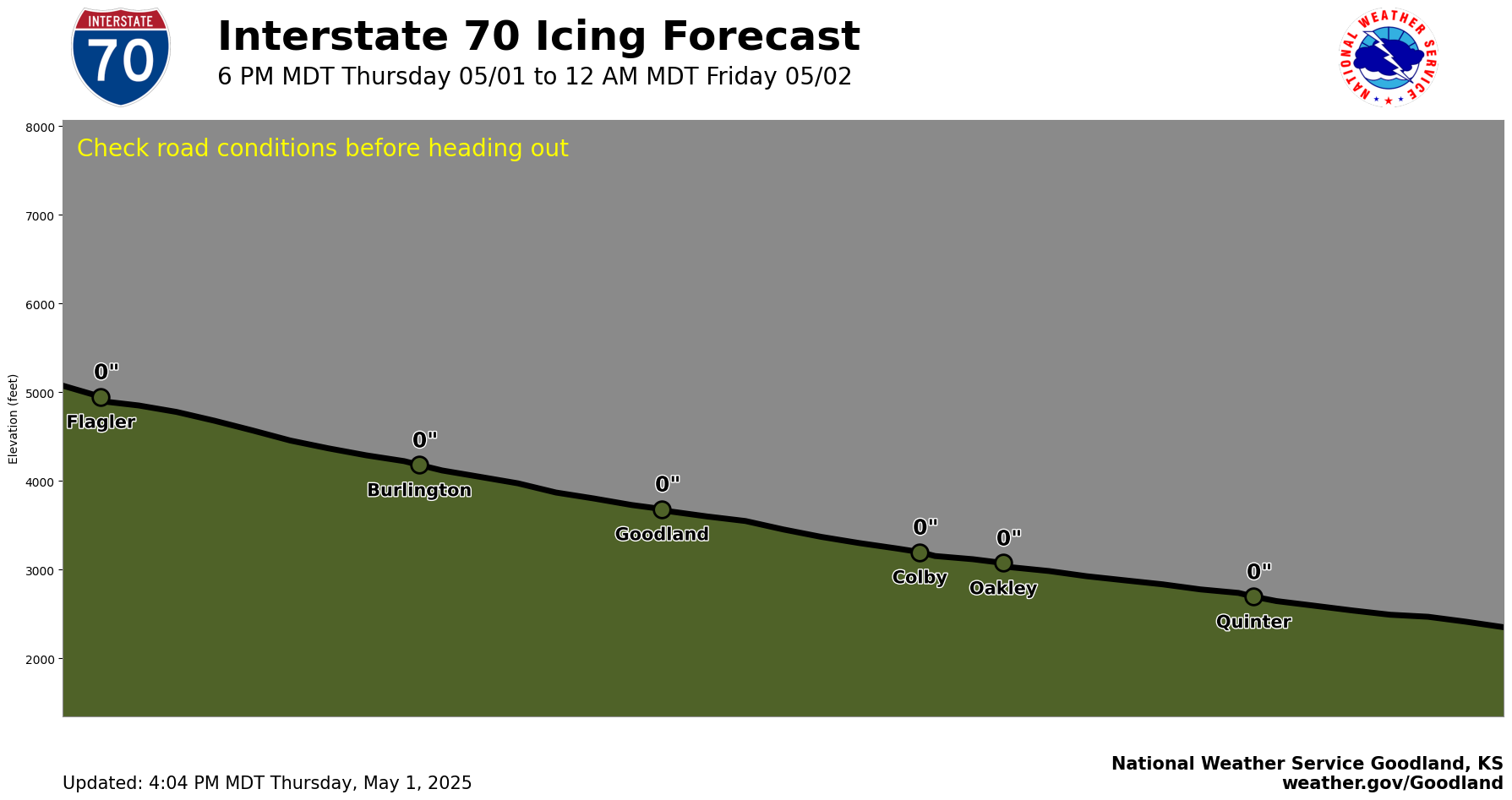
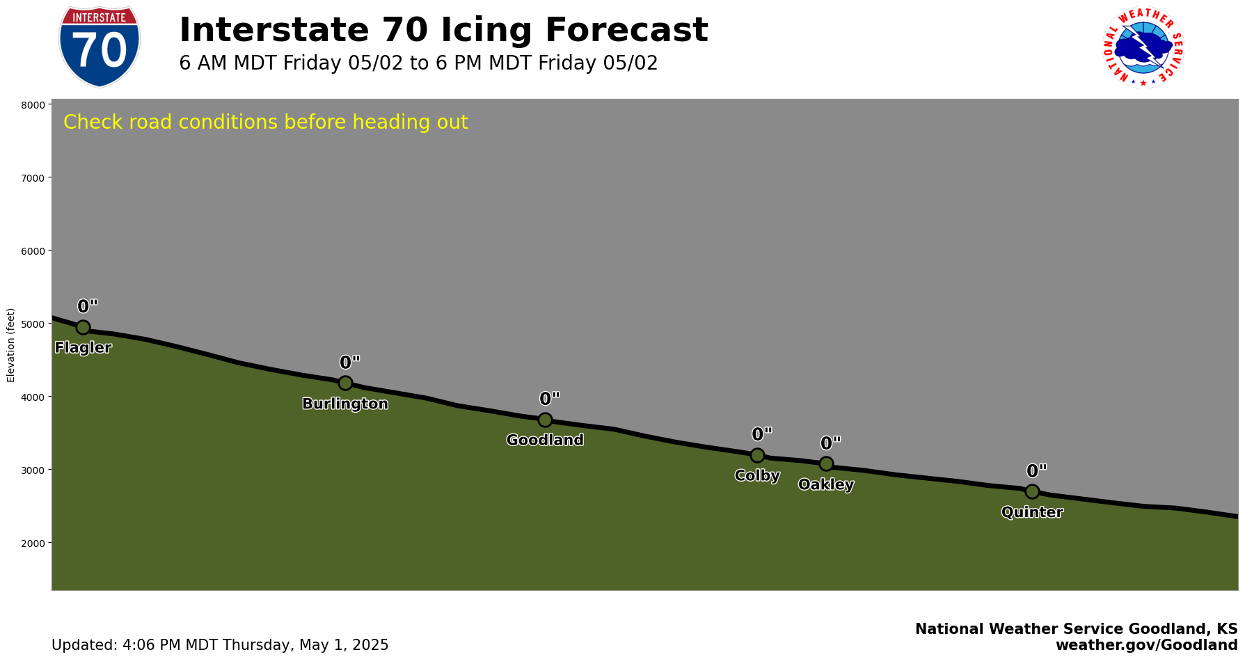
Interstate 70Flagler, CO to Quinter, KS |
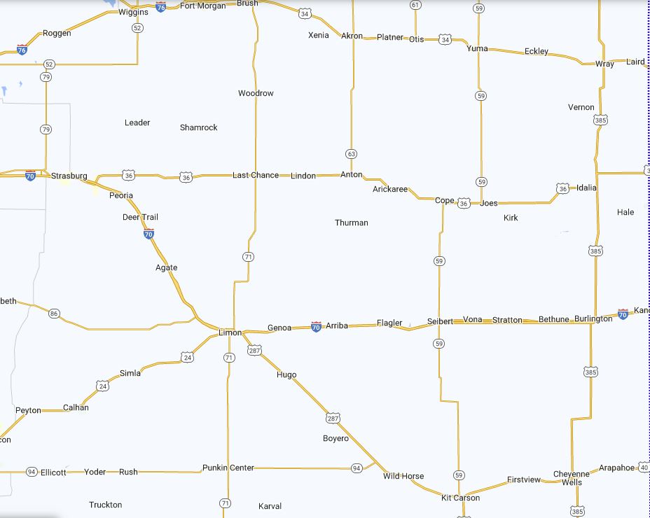
US Route 40Aroya, CO to Quinter, KS |
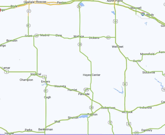
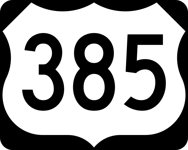
US Route 385Sheridan Lake, CO* to Wauneta, CO |
US Route 83Scott City, KS* to McCook, NE |
US Route 36Joes, CO to Norton, KS |
US Route 34Yuma, CO to Arapahoe, NE* |
 |
 |
 |
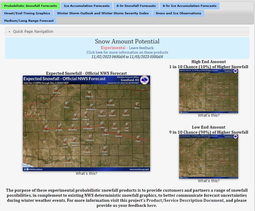
Snow Forecasts |
Ice Forecasts |
Visibility Forecasts (Coming Soon) |

|

|
|

|
|
*Note: White ground with zero accumulation listed actually means trace snow is expected at that point.
|

|
|

|

|
|
KDOT Road Conditions |
CDOT Road Conditions |
NDOT Road Conditions |
NWS Goodland Winter Page |
Current Hazards
Outlooks
Storm and Precipitation Reports
Experimental Graphical Hazardous Weather Outlook
Submit a Storm Report
Current Conditions
Satellite
Local Storm Reports
Observed Precipitation
Local Snowfall Reports
Observations
Snowfall Analysis
Forecasts
User Defined Area Forecasts
Activity Planner
Hourly Forecasts
Fire Weather
Forecast Discussion
Local Information
Aviation Weather
Blog
Coop Observer
Decision Support Serivces Page
Local Observations
Local RSS Feeds
Our Office
Precip Analysis
Republican River Flood of 1935
Snowfall Analysis
Social Dashboard
Text Weather Index
Today in Weather History
Weather Radio
Weather Safety Images
Winter Storm Severity Index
Local WRN Ambassadors
US Dept of Commerce
National Oceanic and Atmospheric Administration
National Weather Service
Goodland, KS
920 Armory Road
Goodland, KS 67735-9273
785-899-7119
Comments? Questions? Please Contact Us.