|
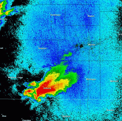
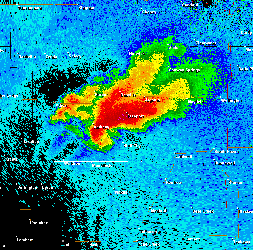
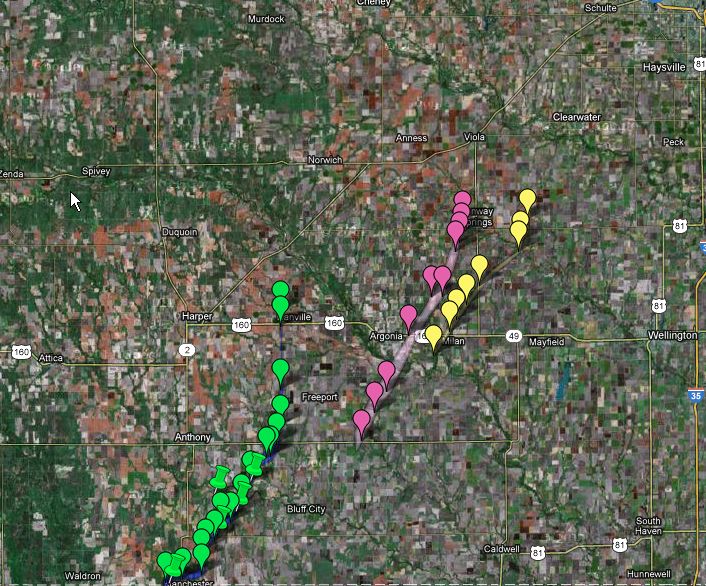
The supercell thunderstorm that produced these tornadoes lifted north out of Oklahoma, crossing the KS-OK border just to the NW of Manchester. It then traveled northeast for about 24 miles producing EF1 damage along its path. This tornado weakened and eventually lifted as it moved toward Danville. However another tornado formed along the supercell's southeast flank, first touching down south of Argonia.
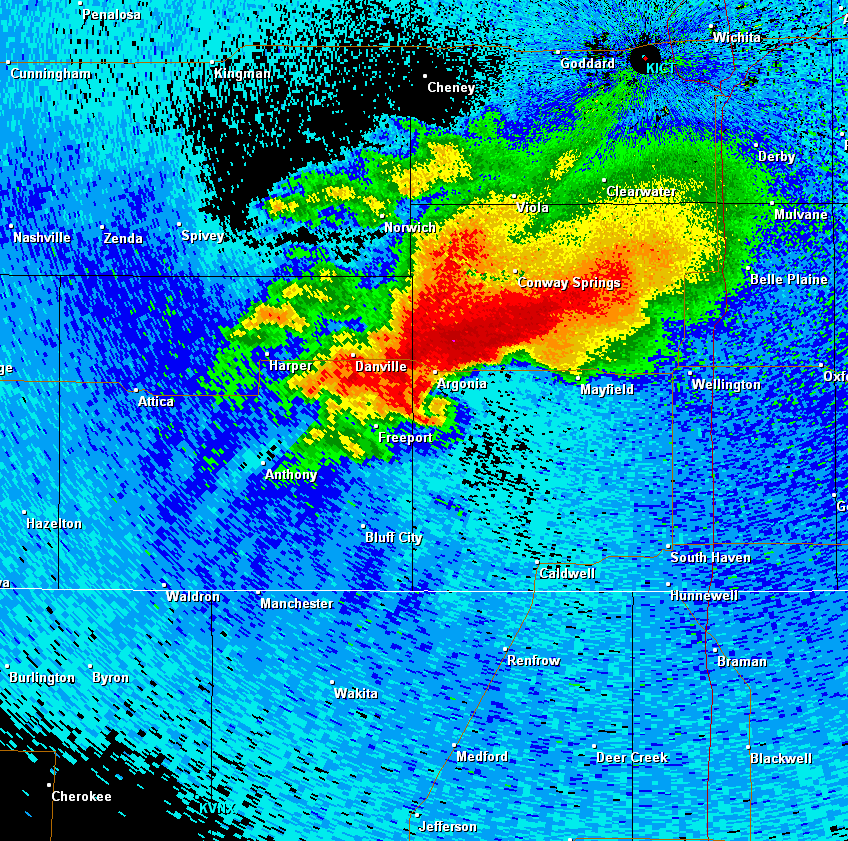
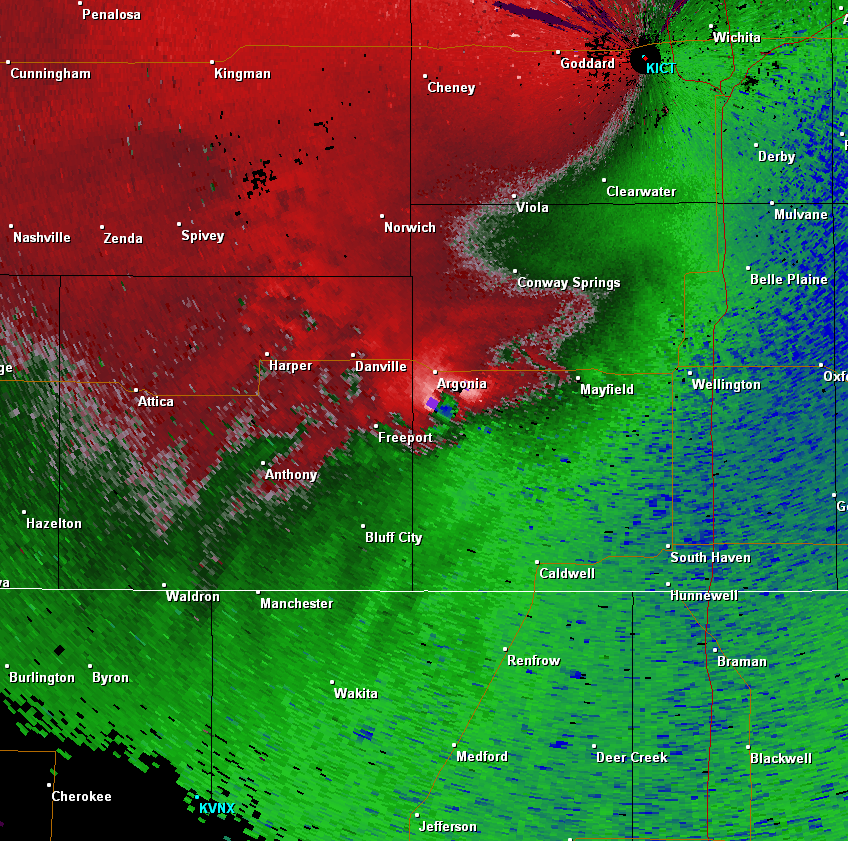
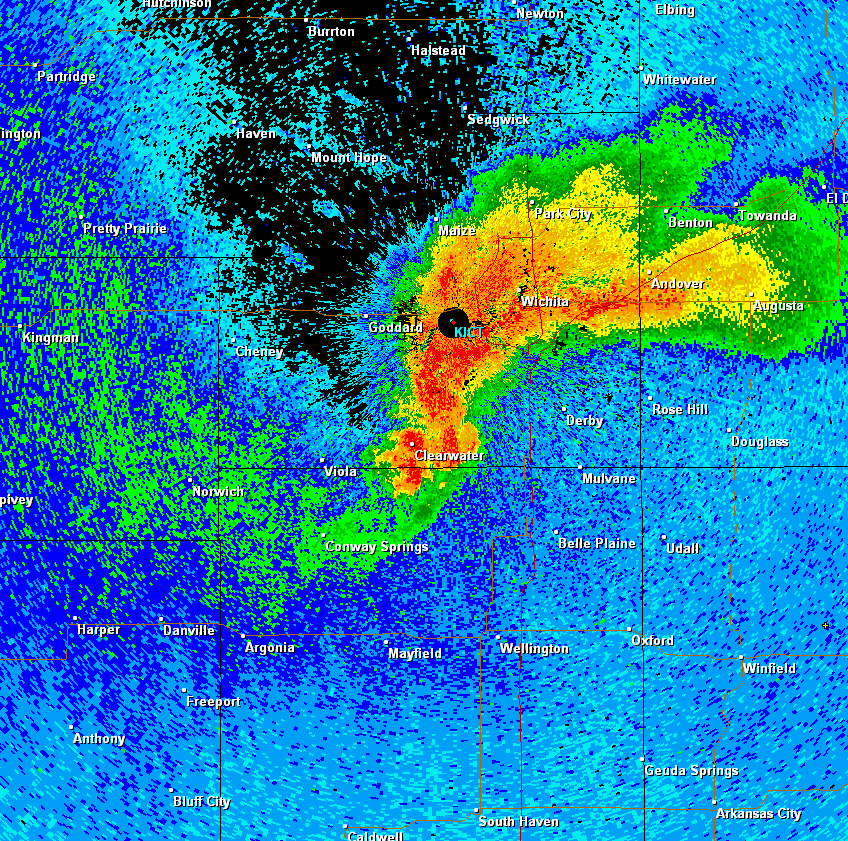
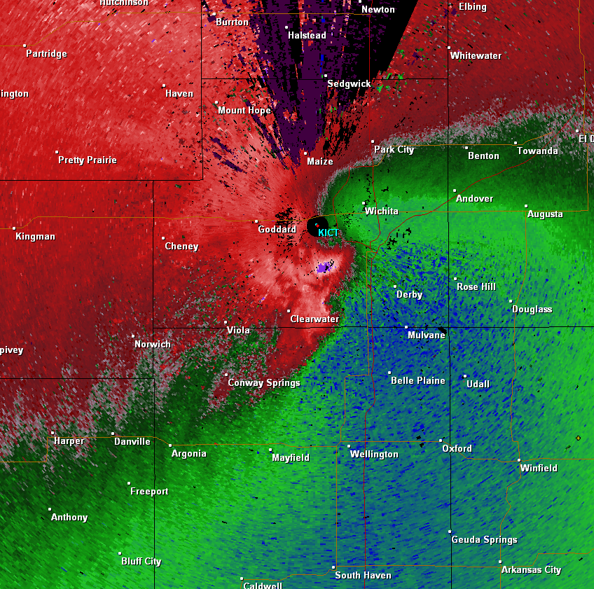
This tornado lifted off to the northeast for about 18 miles producing up to EF3 damage. The most significant damage occurred southwest of Conway Springs as it struck a home. This supercell continued to cycle, developing another tornado along its southeast flank near Milan. This tornado remained on the ground for around 7 miles and produced up to EF1 damage west of Conway Springs.
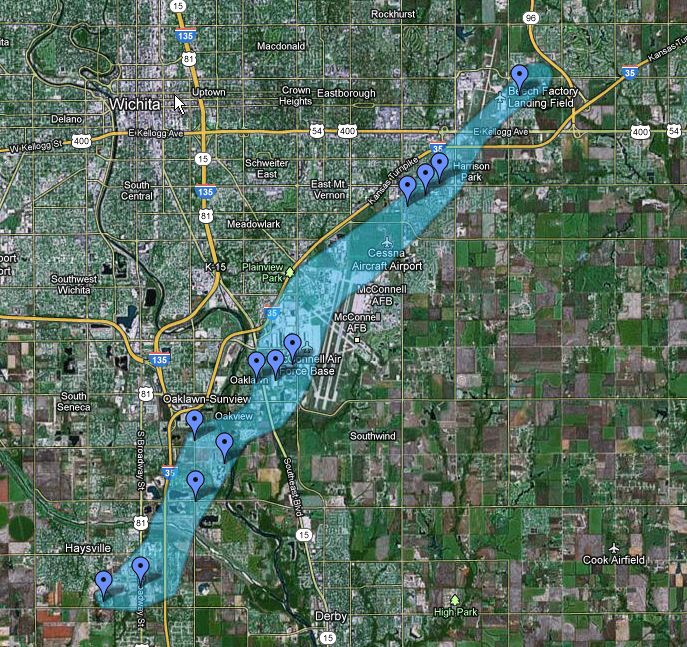
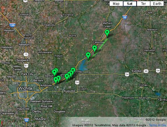
The next tornado this storm formed was over southern Sedgwick County, over southern parts of Haysville. This tornado produced up to EF3 damage as it continued off to the northeast for 13 miles. The most severe damage occurred around the Oaklawn area of southeast Wichita. This tornado continued to weaken as it moved into Butler County with sporadic weak tornado damage occurring southwest of El Dorado and west of Cassoday.
|


_courtesy%20bSullivan.png)