Tornado #1:
Long-Track Tornado of Greene/Scott/Morgan/Sangamon Counties
Survey teams from the NWS offices in St. Louis and Lincoln investigated the damage from this tornado, which took a path 66 miles long, from northwest Greene County to Springfield.
The St. Louis office determined that the tornado briefly touched down in the southeast corner of Pike County, 4 miles south of Pearl. It damaged a barn and downed a large number of trees. This segment was F0 intensity, with a path of 100 yards.
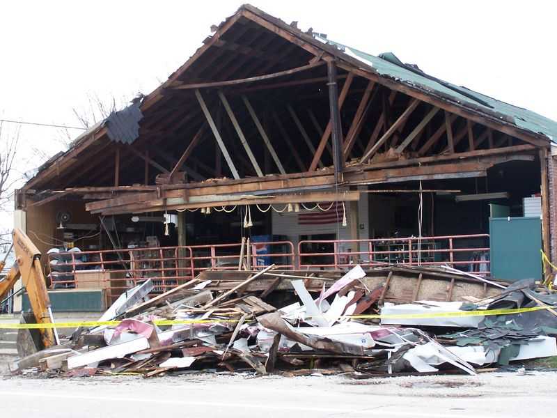
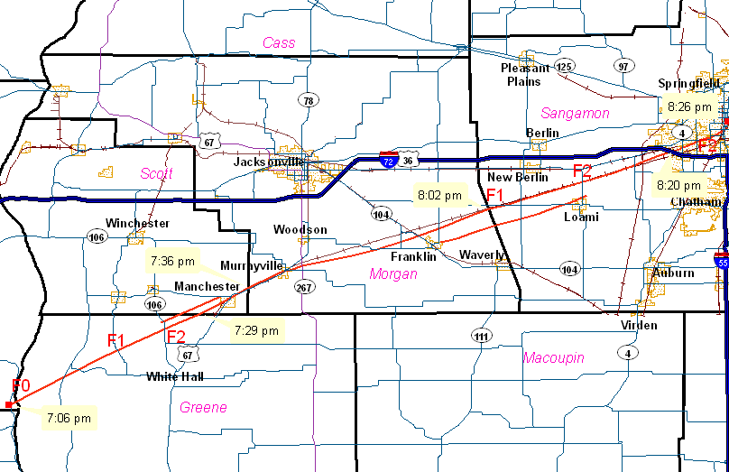
The tornado touched down again 2 miles southwest of Hillview, in northwest Greene County. It moved northeast across Hillview around 7:15 PM, causing minor damage to a number of buildings, with one two story brick building also damaged. The tornado was determined to be intensity F0 in this area. The tornado continued northeast, destroying 2 machine sheds southwest of Patterson. A number of homes in Patternson sustained varying degrees of damage, with one house trailer severely damaged. From there, the tornado moved northeast, passing just north of Barrow. Several large grain silos and machine sheds were destroyed, with two houses sustaining damage. Debris from the silos and machine sheds were thrown 1/8 to 1/4 mile away. The tornado also downed over a mile of high voltage power lines along highway 106. Damage in this area was estimated at intensity F2. Other tornado tracks paralleled this tornado north and south of the main track, near Barow.
Survey teams determined that the main tornado crossed into Scott County 3 miles southwest of Manchester at 7:29 PM. The tornado continued on the ground to the northeast, moving through Manchester at 7:33 PM, then crossing into Morgan County about 2 miles northeast of Manchester at 7:36 PM. The storm continued northeast along highway 67, moving through Murrayville at 7:42 PM. It continued northeast, crossing highway 104 about 1.5 miles north of Franklin. It then crossed the Sangamon County line, 4.5 miles southwest of New Berlin, at 8:02 PM. In this portion of the damage path, the tornado varied from 1/8 to 1/4 mile wide. Damage observed was of F1 intensity, with estimated wind speeds around 100 mph.
The tornado continued northeast over Sangamon County, along the Norfolk and Southern Railroad tracks, to about 2 miles north of Loami, then to 3/4 mile south of Curran. It crossed I-72 around mile marker 92 at 8:20 PM, before moving into the city of Springfield. In Sangamon County, the torando gradually widened to between 1/2 and 3/4 mile wide. The storm was of F1 intensity initially (100 mph), but strengthened to F2 (120 mph) as it passed north of Loami. It remained at F2 strength as it moved into Springfield.
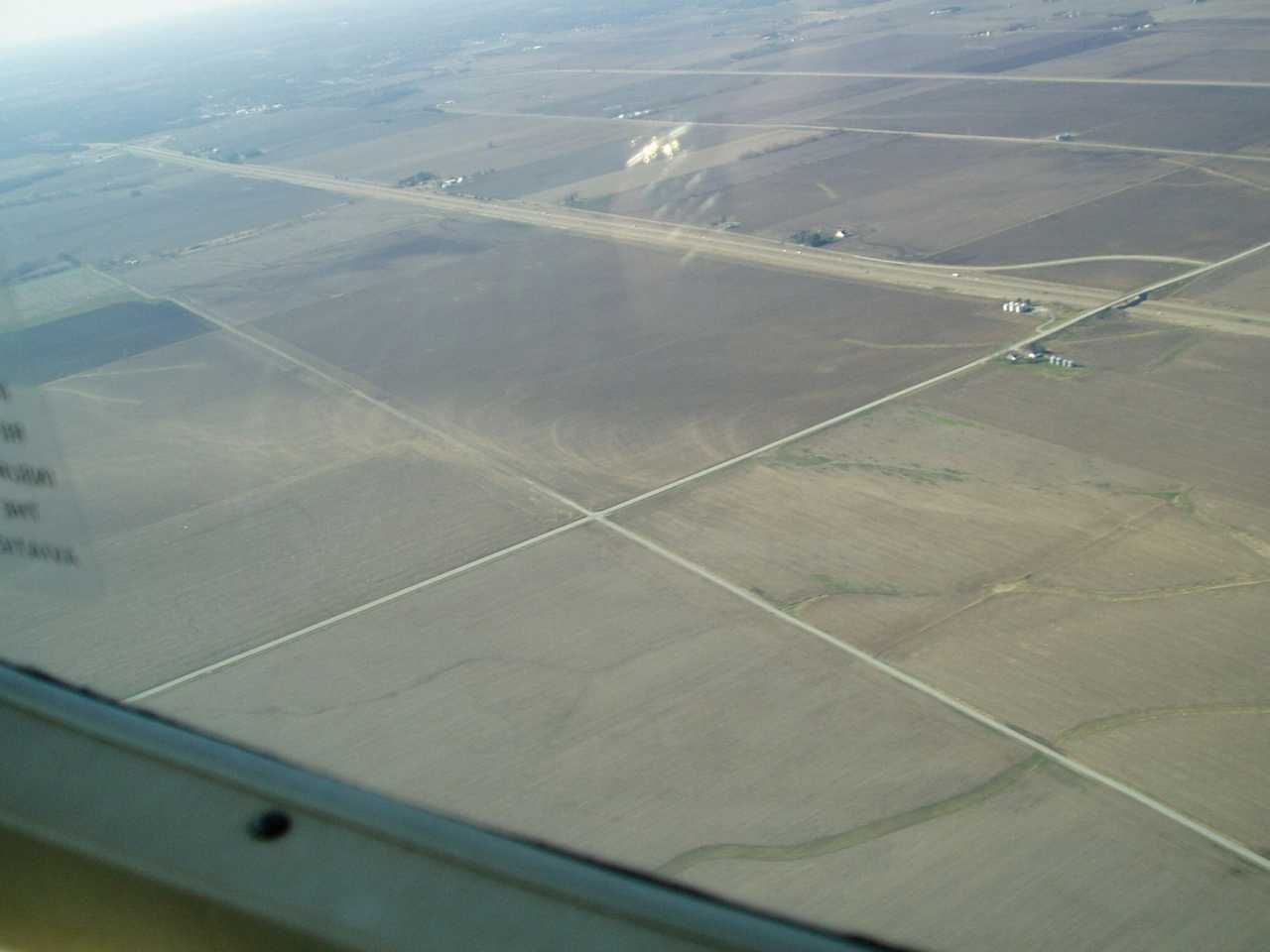
Damage from the storm over Scott, Morgan and rural Sangamon Counties consisted of the snapping of power poles and major tree damage, either ripped up or uprooted. Numerous farm buildings (both Morton type buildings and barns) were damaged or destroyed, as were numerous grain bins. One mobile home was destroyed.
Click here for a continuation of the tornado as it moved into Springfield.
Pictures (click images to enlarge):
|
|
|
|
|
|
|
|
Event Links: Overview | Long-Track Tornado | Springfield | Franklin/Loami | Eastern Sangamon
Southern Logan | Greene/Scott #2 | Logan/Macon | Macon/De Witt | Radar&Satellite