National Weather Service United States Department of Commerce

Dangerous Heat over the South-Central and Southwest U.S. Through Next Week

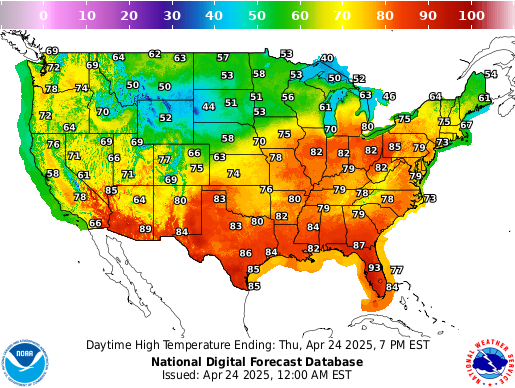
Dangerous heat persists across the Desert Southwest through this weekend and across the Southern Plains and Lower Mississippi Valley through at least the middle of next week. Numerous daily record high temperatures are expected through at least Tuesday for much of Texas and Oklahoma as well as portions of Louisiana, New Mexico, and Arizona. Read More >

Click a location below for detailed forecast.

Last Map Update: Sat, Aug 22, 2026 at 9:20:15 am EDT
There are no watches, warnings, or advisories at this time.

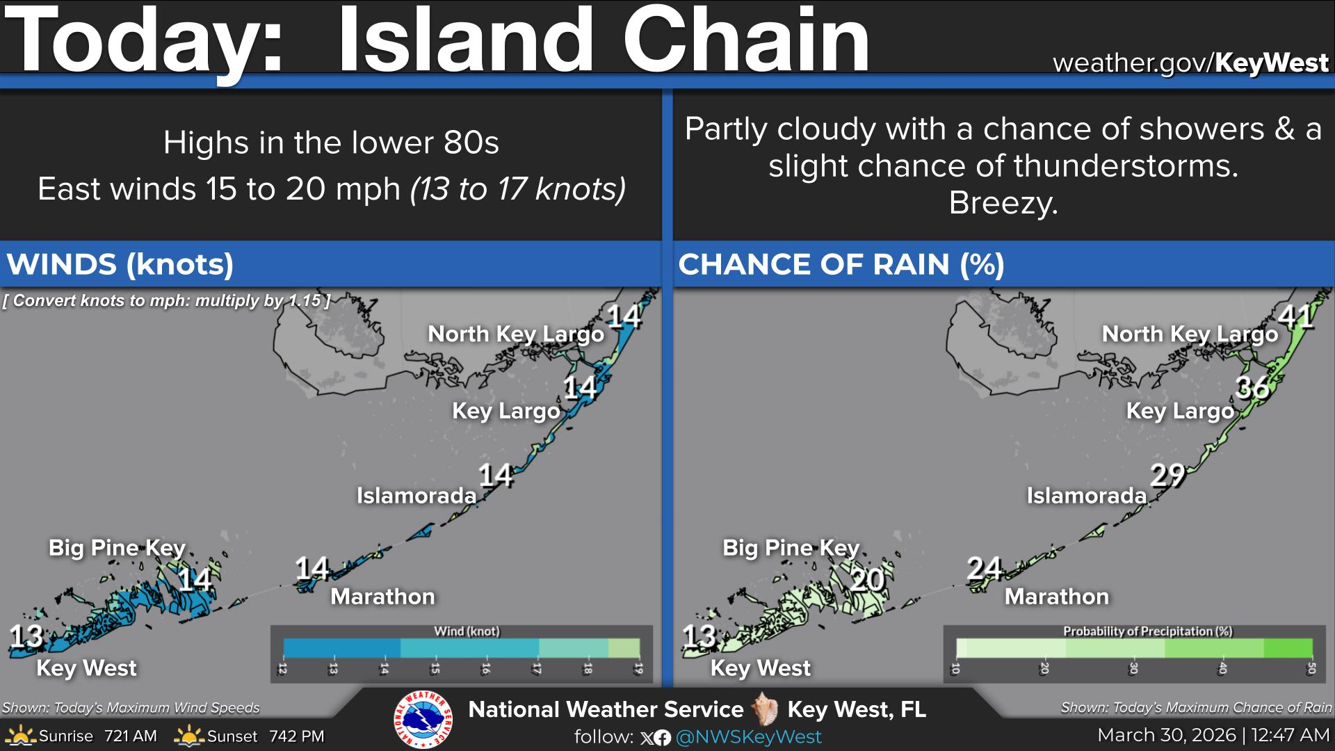
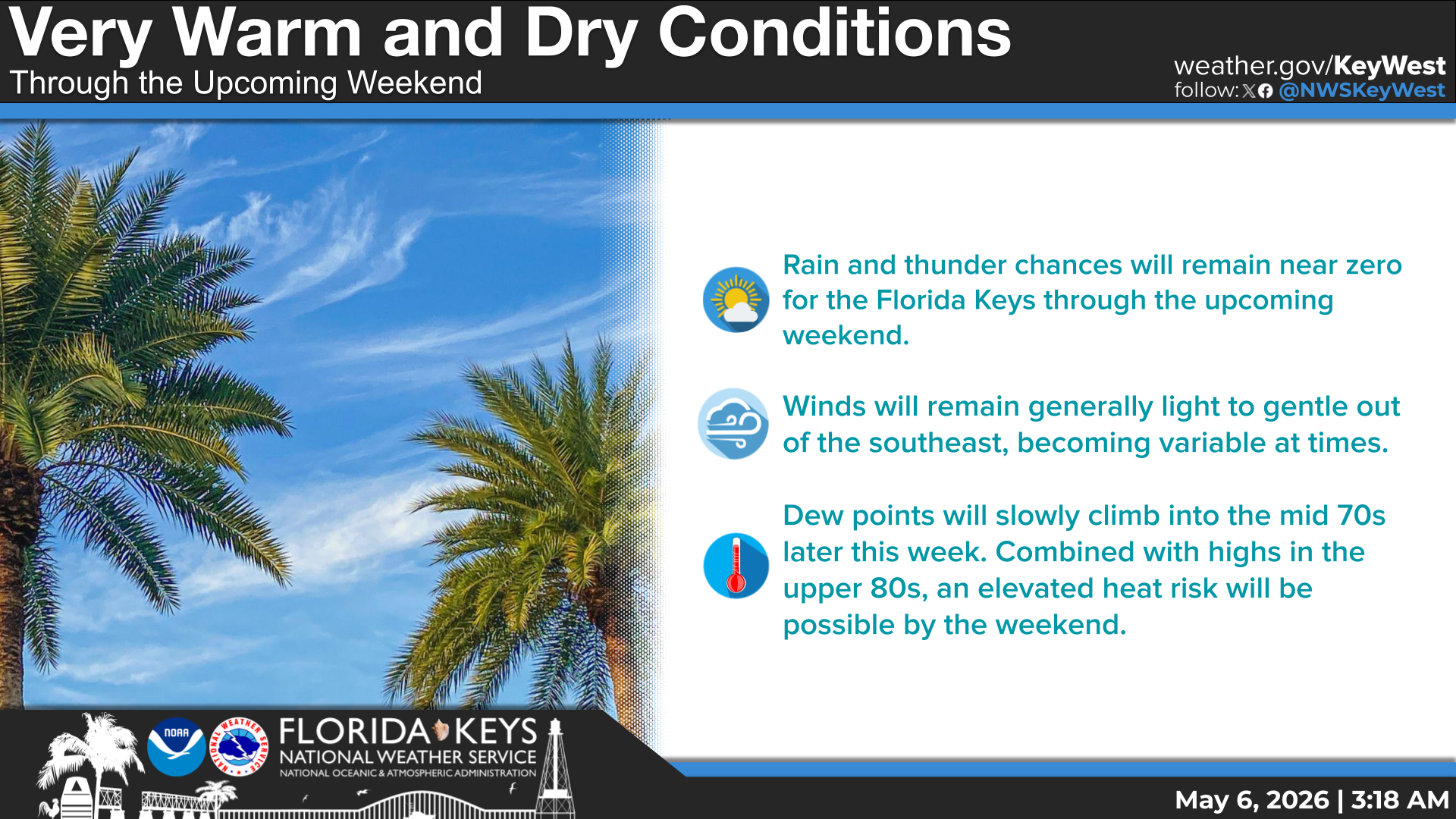
Below-average rain chances are expected this weekend across the Florida Keys due to lingering pockets of dry air aloft. There will only be a slight chance for isolated showers and storms today and tomorrow. Otherwise, we can expect mostly sunny skies, highs near 90, and southeasterly breezes around 5 mph. Rain chances will return to near-normal, or even slightly above-normal at times, by the early to middle part of this upcoming week. A light and variable wind pattern could favor the development of waterspouts today and tomorrow. Please send us your reports if you see one!
Tropical Update as of 8 AM Saturday: NE Atlantic: Low pressure a few hundred miles west of the coast of Portugal may acquire subtropical or tropical characteristics throughout the weekend, but chances for formation are low at 20%. Central Tropical Atlantic: Low pressure a few hundred miles east of Bermuda is producing disorganized shower activity but development of this system is expected to be slow to occur while it drifts westward through the weekend. Formation chances through the next 7 days are 20%. Finally, in the Eastern Tropical Atlantic: A tropical wave is expected to move off the west coast of Africa on Monday. An area of low pressure could form in association with the wave soon after it moves off the coast. This system will be what we monitor most closely as initial projections suggest that it may track near the Lesser Antilles by the end of the month. Formation chances over the next 7 days are 30% at this time but probabilities may increase with subsequent forecast cycles.
Today...Mostly sunny with a slight chance of showers and thunderstorms. Highs near 90. Southeast to south winds near 5 mph. Chance of rain 20 percent.
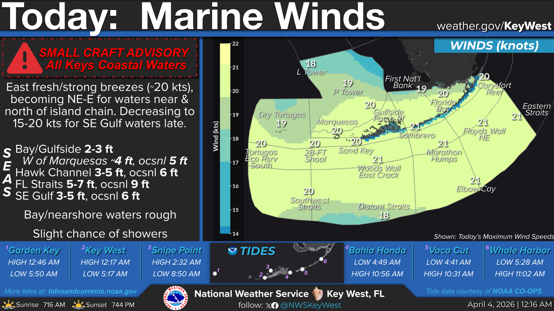
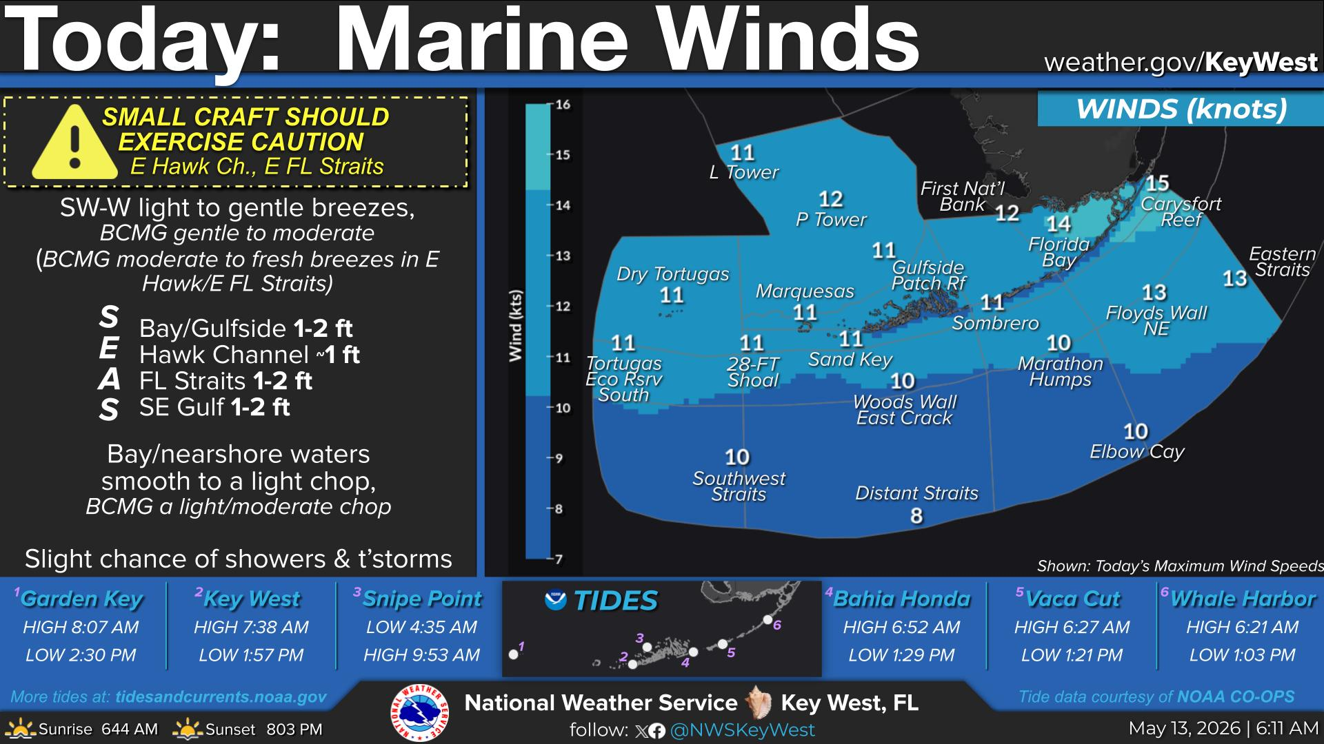
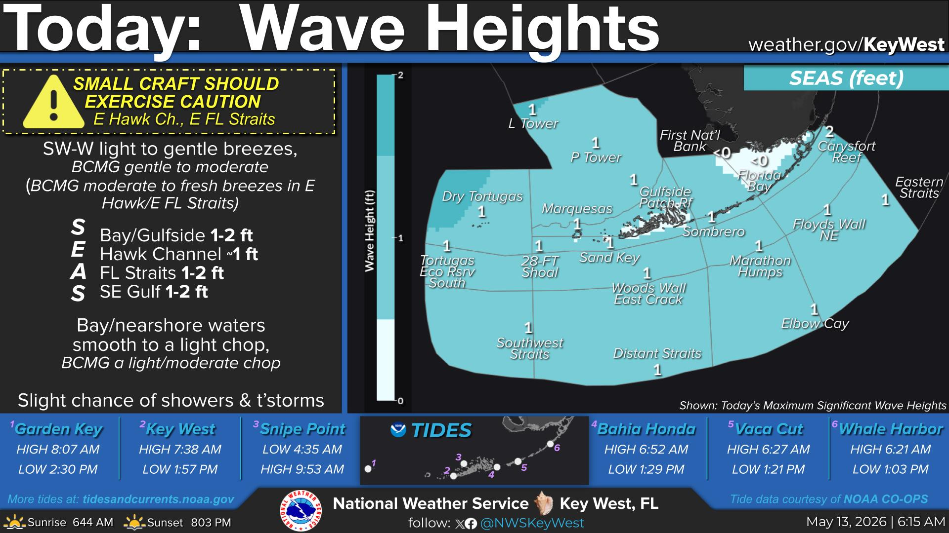
TODAY... Generally E-SE light breezes (FL Straits: light to gentle breezes becoming light breezes. SE Gulf: SE-S becoming variable). Seas: Bay/Gulfside ≤1 ft; Hawk Channel ≤1 ft; FL Straits ~2 ft, subsiding to 1-2 ft; SE Gulf ≤1 ft. Bay/nearshore waters smooth. Slight chance of showers and thunderstorms.


Text Product Selector
(Selected product opens in a new window) 


Sunrise & Sunset

Sunrise & Sunset


Moon Rise & Set

Moon Rise & Set


Moon Illumination

Moon Illumination


Tide Information

Tide Information


Tropical

Tropical


Coastal Flooding

Coastal Flooding


Tallship

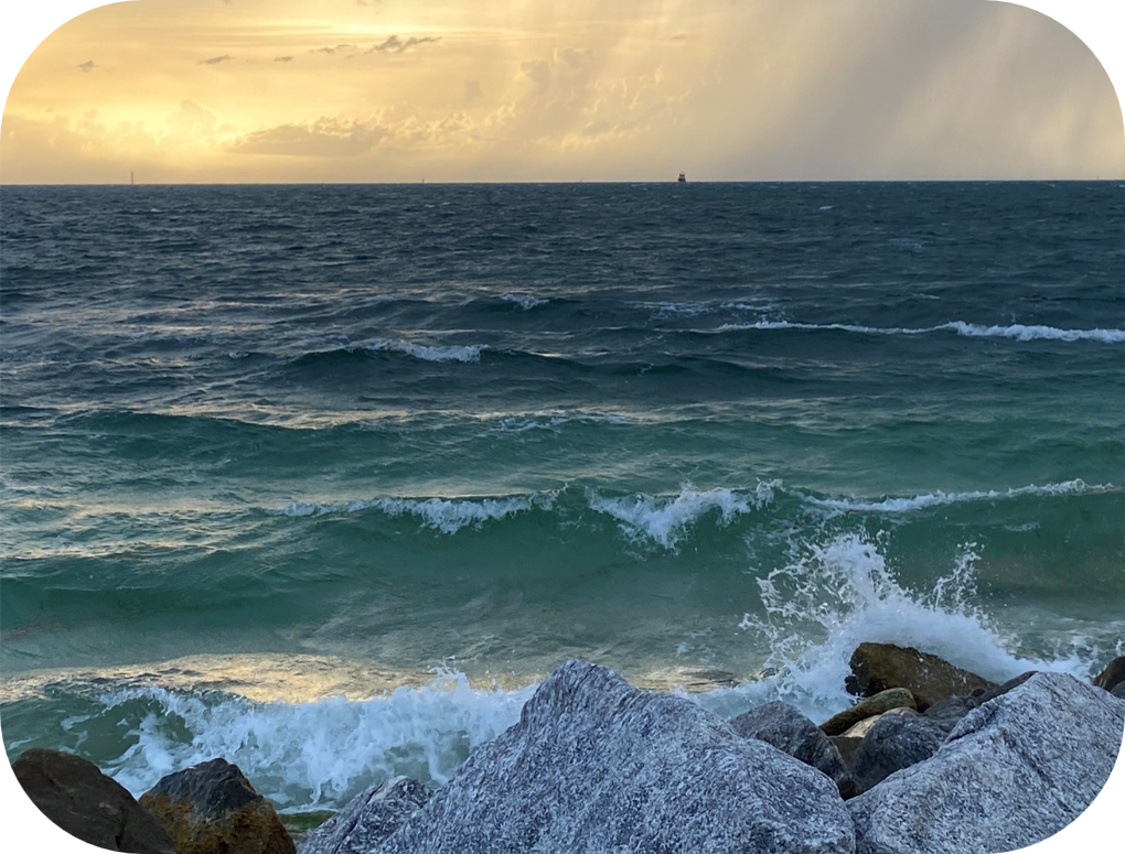
Marine


Nearshore Waves

Wave Prediction


Thumbnail for a local waterspouts website, showing 4 waterspouts.

Waterspouts


Airplane

Aviation


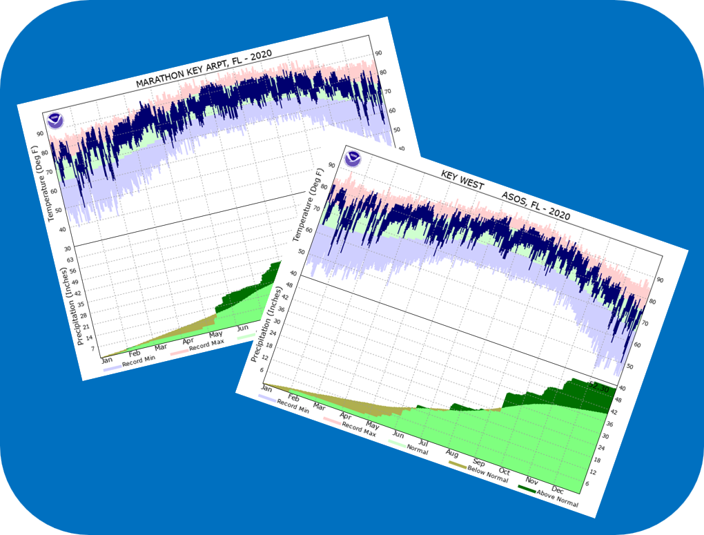
Key West & Marathon Climographs 2020

Climographs


Tropical

Forecast Discussion


NOAA Weather Radio

NOAA Weather Radio