National Weather Service United States Department of Commerce
Click a location below for detailed forecast.

Last Map Update: Tue, Jun 16, 2026 at 9:56:33 am EDT

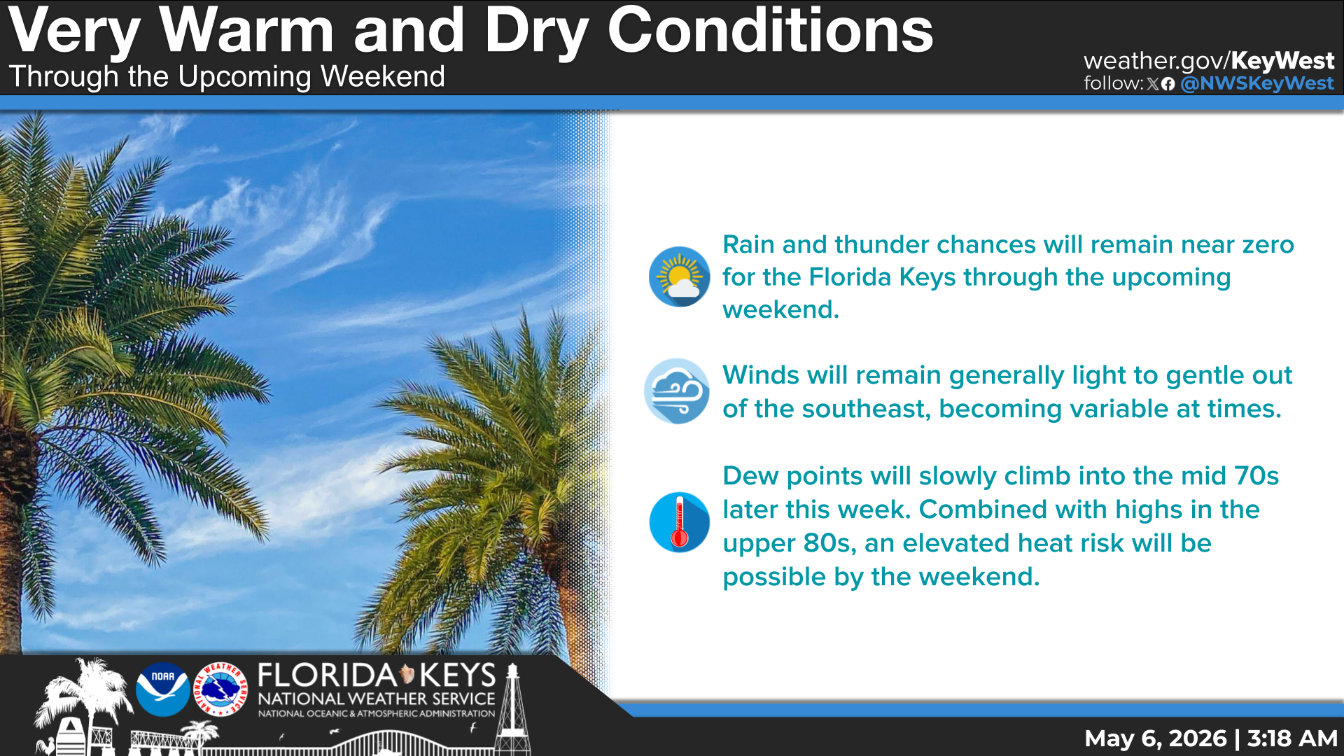
Mainly dry conditions expected today along with very little cloud cover. This combined with a southerly flow will make for another day of very warm and humid conditions for the island chain. Heat index values this afternoon will peak near or slightly above 100°. Expect little to no relief overnight as heat index values will remain in the 90s. As a result our heat risk is Limited (1 of 4) to Elevated (2 of 4) through at least the next 24 hours. If you're planning on being outdoors for an extended period of time, make sure to seek shade and drink water often. Also, be sure to check on your neighbors, especially the elderly, those sensitive to heat, or persons lacking air conditioning.
TODAY... Mostly sunny with a slight chance of showers and thunderstorms. Highs in the upper 80s. South winds near 5 mph. Chance of rain 10 percent.
Today... SE-S light to gentle breezes. Seas: Bay/Gulfside ≤1 ft; Hawk Channel ~1 ft; FL Straits ~1 ft; SE Gulf ~1 ft. Bay/nearshore waters smooth to a light chop. Slight chance of showers & thunderstorms.


Text Product Selector
(Selected product opens in a new window) 


Sunrise & Sunset

Sunrise & Sunset


Moon Rise & Set

Moon Rise & Set


Moon Illumination

Moon Illumination


Tide Information

Tide Information


Tropical

Tropical


Coastal Flooding

Coastal Flooding


Tallship

Marine


Nearshore Waves

Wave Prediction


Thumbnail for a local waterspouts website, showing 4 waterspouts.

Waterspouts


Airplane

Aviation


Key West & Marathon Climographs 2020

Climographs


Tropical

Forecast Discussion


NOAA Weather Radio

NOAA Weather Radio