
|
|
|
|
|
|---|
|
Hazardous Weather Outlook |
Graphical HWO |
24 Hour Storm Report Map |
Contact Us |
Click on an image to expand and on the link in the image header (if available) for additional information
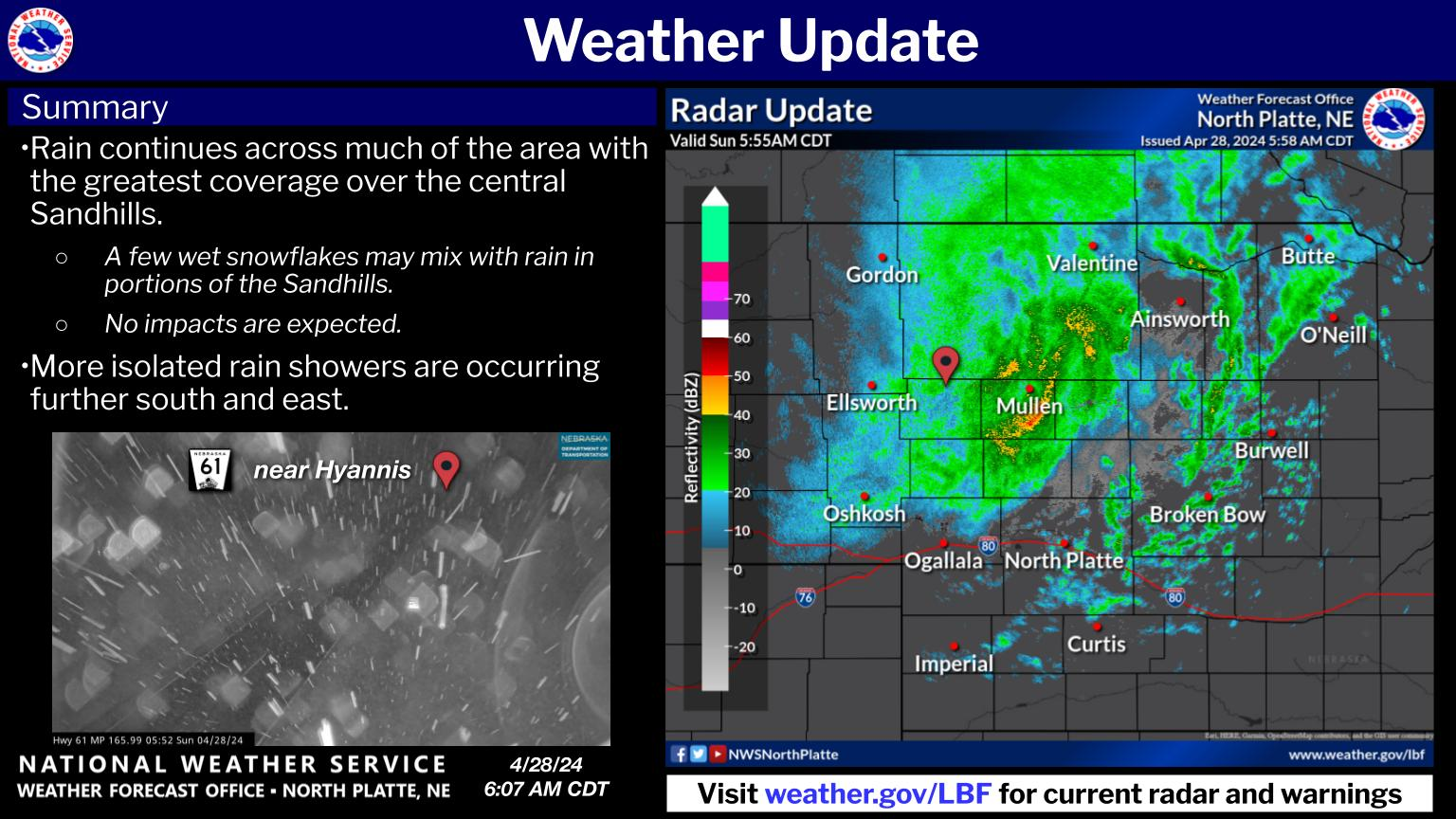
| Latest Nowcast (usually updated during active weather) | Regional Radar |
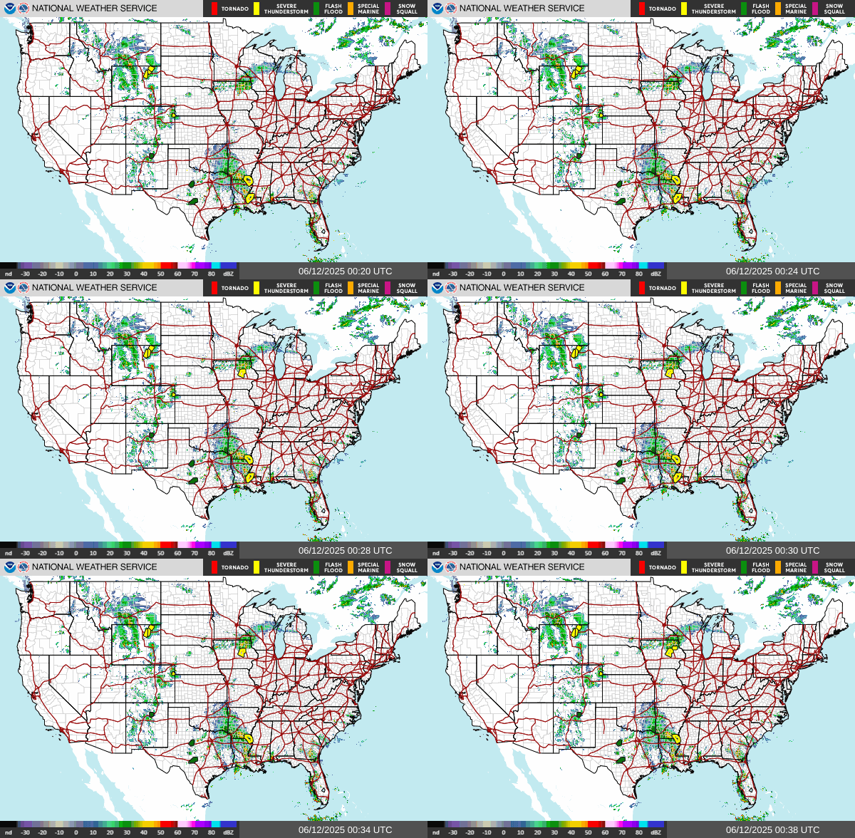
| Regional GeoColor Satellite | Regional Infrared Satellite |


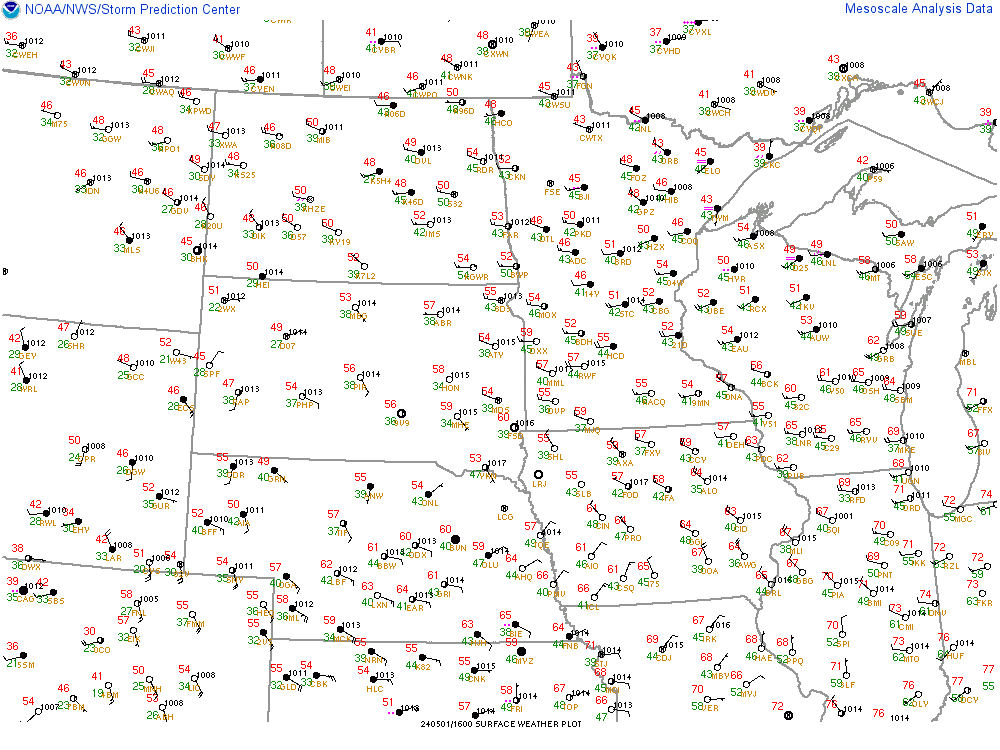
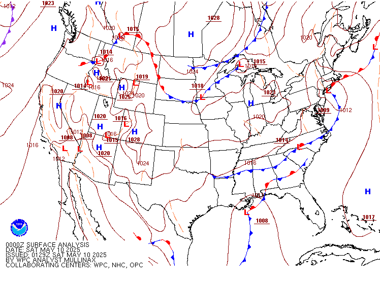
| Regional Observations | National Surface Map |
| Local Heat Index Values | Local Wind Chill Values |
| Text Products and Helpful Links |
|
Hourly Weather Roundup |
|
Nebraska Max/Min Temp & Precip Summary |
|
Latest Public Information Statement |
|
NWS Weather & Hazards Data Viewer (interactive map) |
Nebraska Mesonet |
| Today's Overall Severe Weather Risk | Today's Tornado Risk |
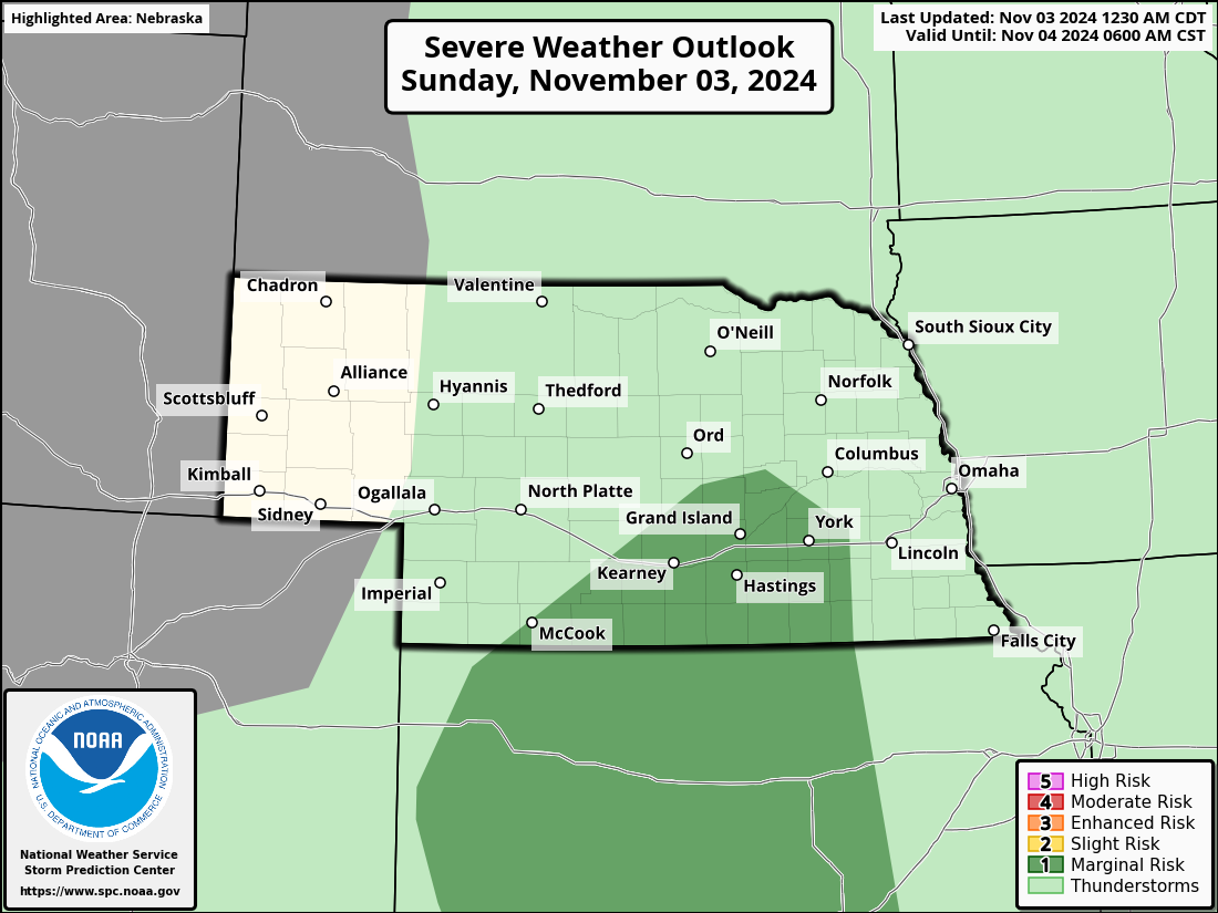 |
 |
| Today's Damaging Wind Risk | Today's Large Hail Risk |
 |
|
| Tomorrow's Severe Weather Risk | Tomorrow's Tornado Risk |


| Tomorrow's Damaging Wind Risk | Tomorrow's Large Hail Risk |


| Day 3 Severe Weather Risk |
|
|
|
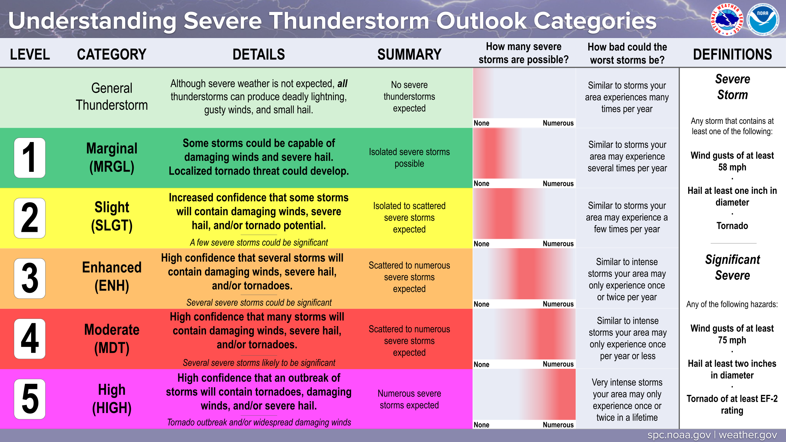 |
| Day 4 Severe Weather Risk | Day 5 Severe Weather Risk |


| Day 6 Severe Weather Risk | Day 7 Severe Weather Risk |


| Current Severe Thunderstorm & Tornado Watches |
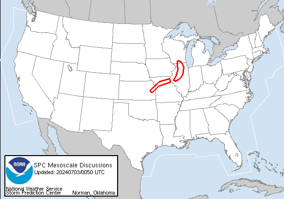
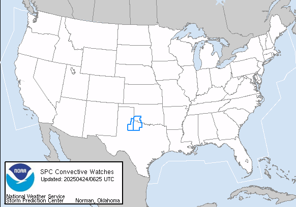
| Today's Tornado, Wind & Hail Reports | Yesterday's Tornado, Wind & Hail Reports |
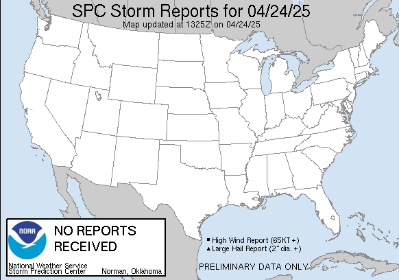
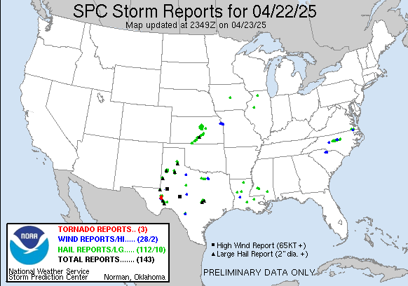
|
Storm Prediction Center |
Submit a Storm Report |
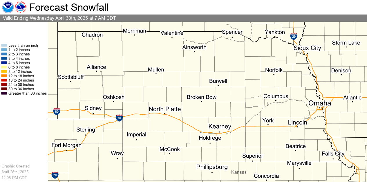
Snow and Ice Forecasts and Probabilities Through 72 Hours
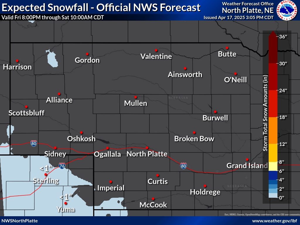
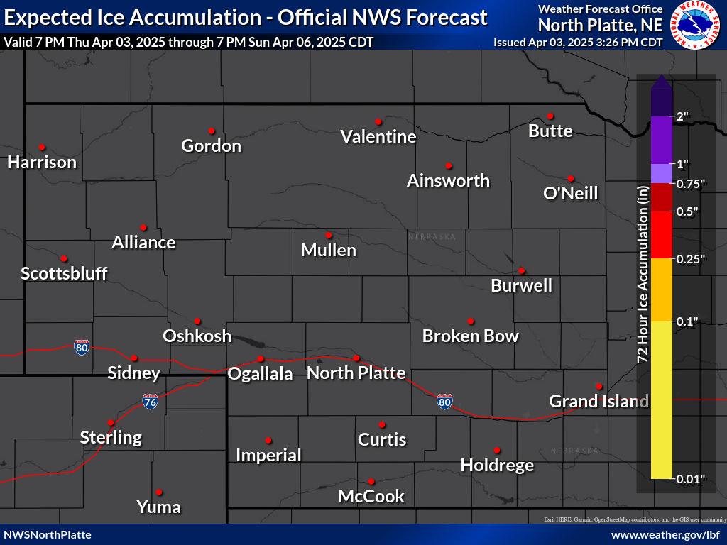
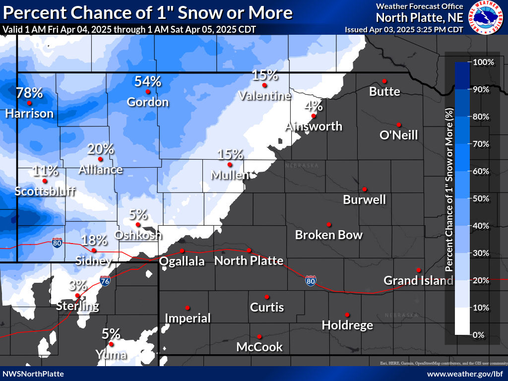
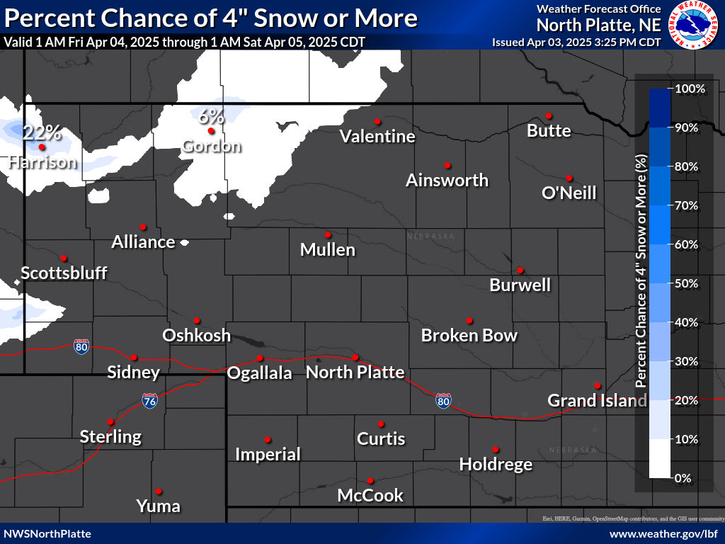
| Visit our Probabilistic Snow Website for more snowfall range and potential graphics |
| 12 Hour Snowfall Forecast | 24 Hour Snowfall Forecast | 48 Hour Snowfall Forecast |
Winter Storm Severity Index (through 72 hours)
| Snow Amount | Snow Load | Blowing Snow |
| Ground Blizzard | Ice Accumulation | Flash Freeze |
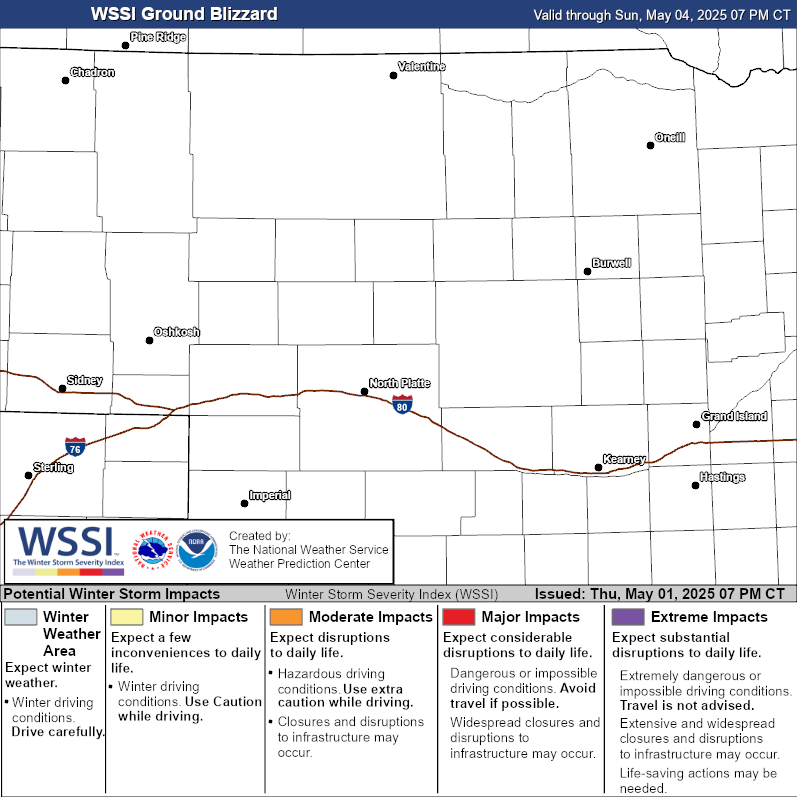
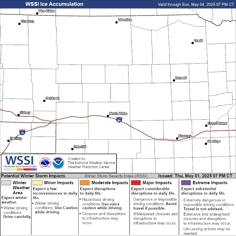
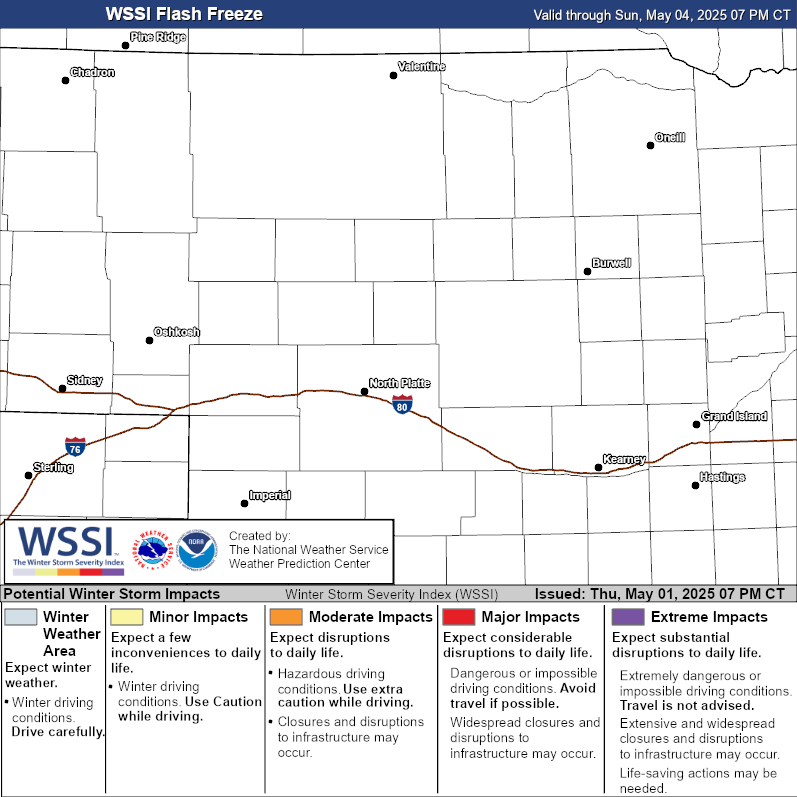
| Accumulating Snow Outlook - Day 4 | Accumulating Snow Outlook - Day 5 |
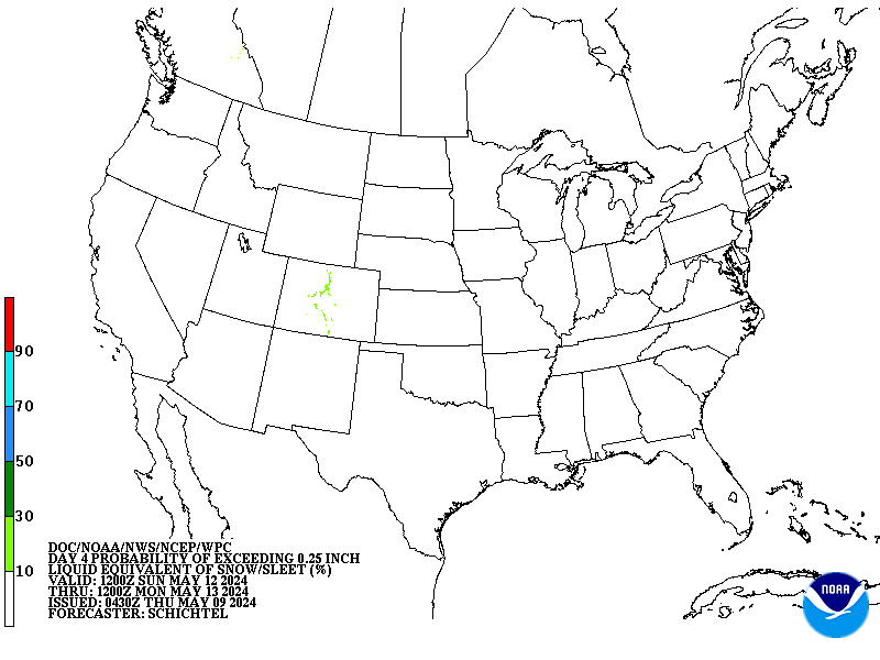
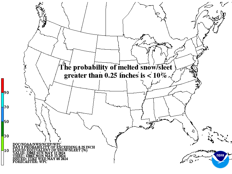
| Accumulating Snow Outlook - Day 6 | Accumulating Snow Outlook - Day 7 |
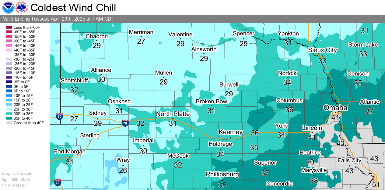
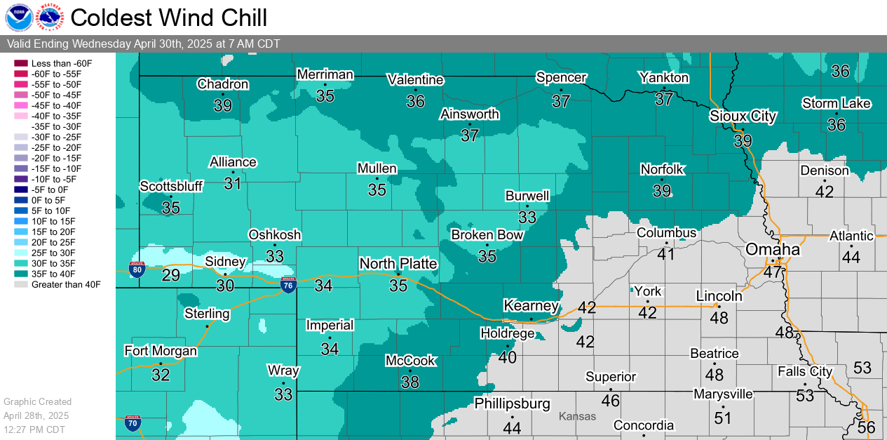
| Tonight's Wind Chill Forecast | Tomorrow Night's Wind Chill Forecast |
| Helpful Links and Other Local Resources |
|
Road Conditions (Nebraska 511) |
Surrounding states' roads |
Current Snow Depth
|
|
Wind Chill Chart & Frostbite Times
|
Wind Chill Calculator |
48 Hour Snow Report Map |
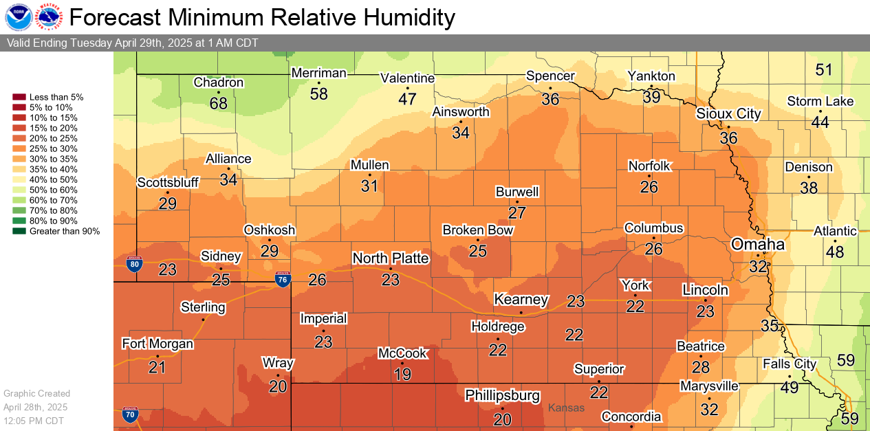
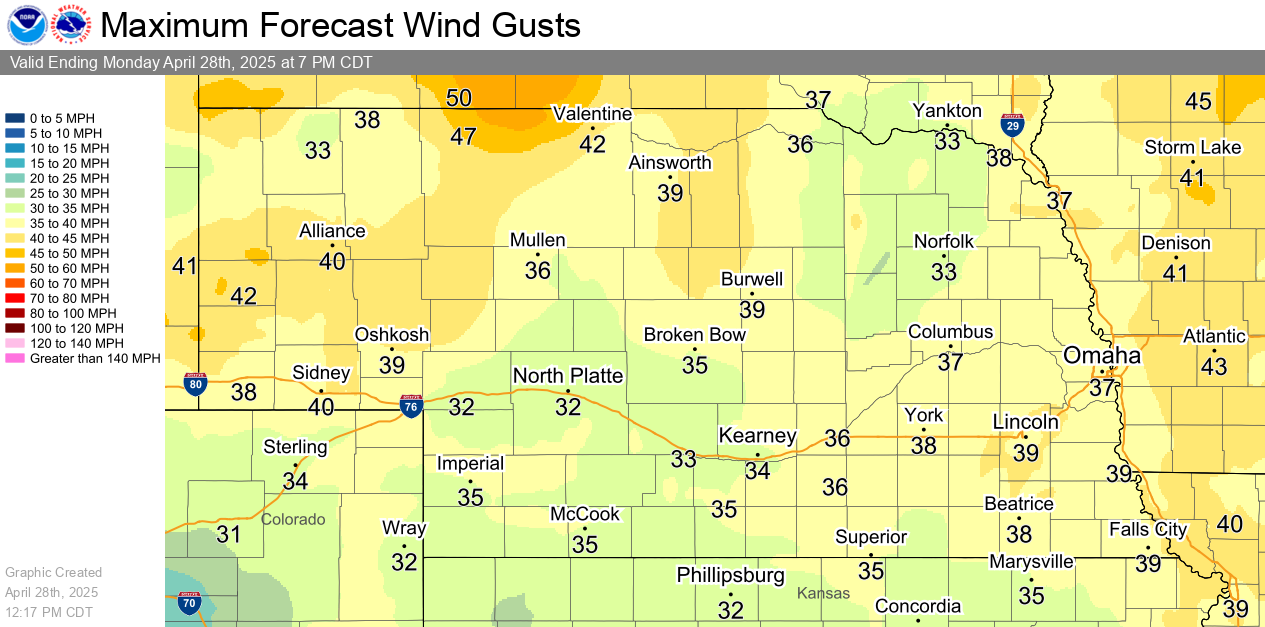
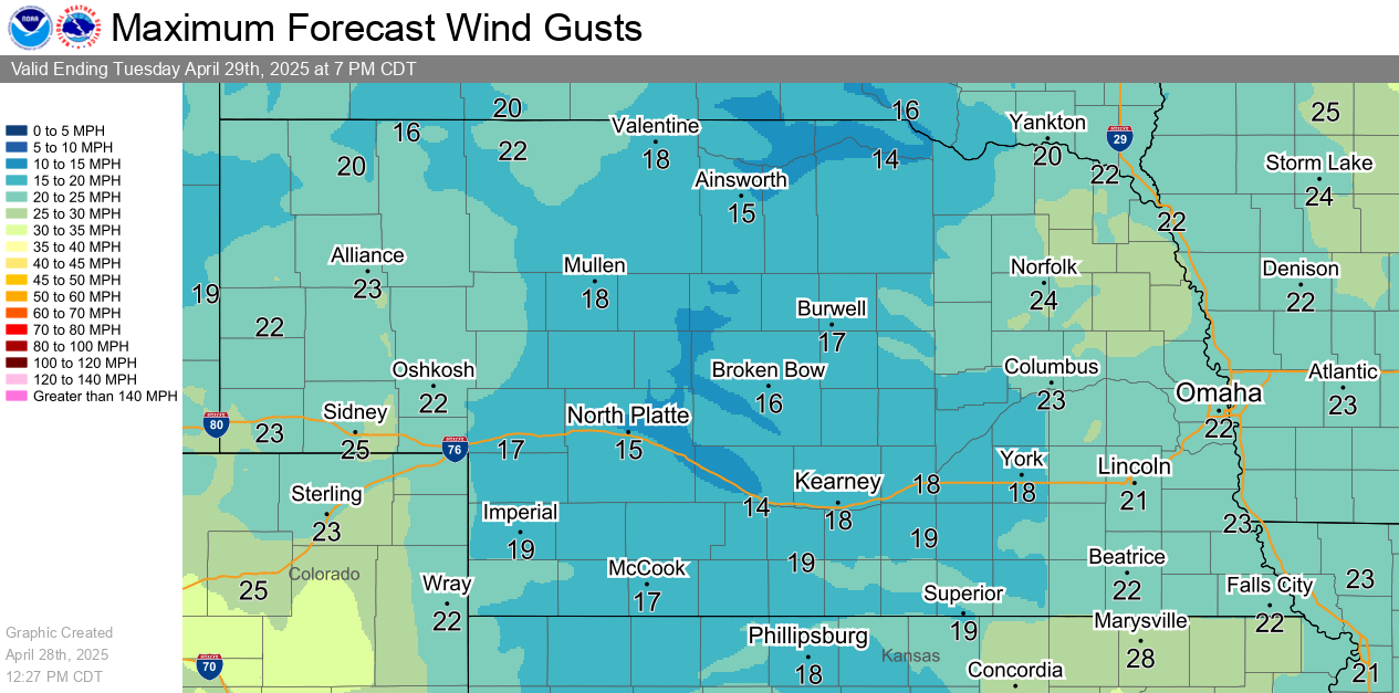
| Today's Minimum Relative Humidity | Today's Maximum Wind Gusts |
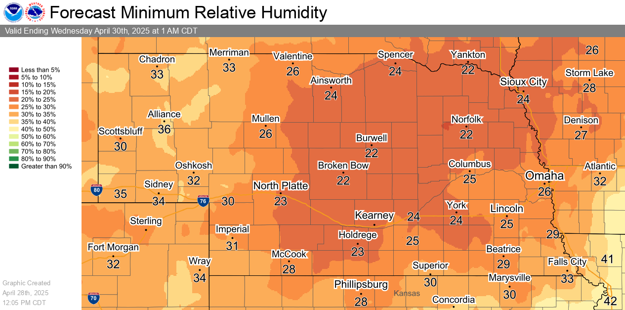
| Tomorrow's Minimum Relative Humidity | Tomorrow's Maximum Wind Gusts |
|
Red Flag Monitor (Latest Wind & Humidity Observations) |
|
Fire Weather Forecast and Discussion
|
| Visit the NWS North Platte Fire Weather Page for additional local resources |
| Today's Fire Weather Risk | Tomorrow's Fire Weather Risk |
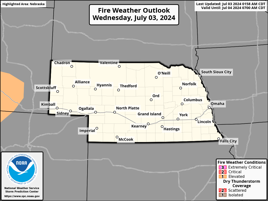
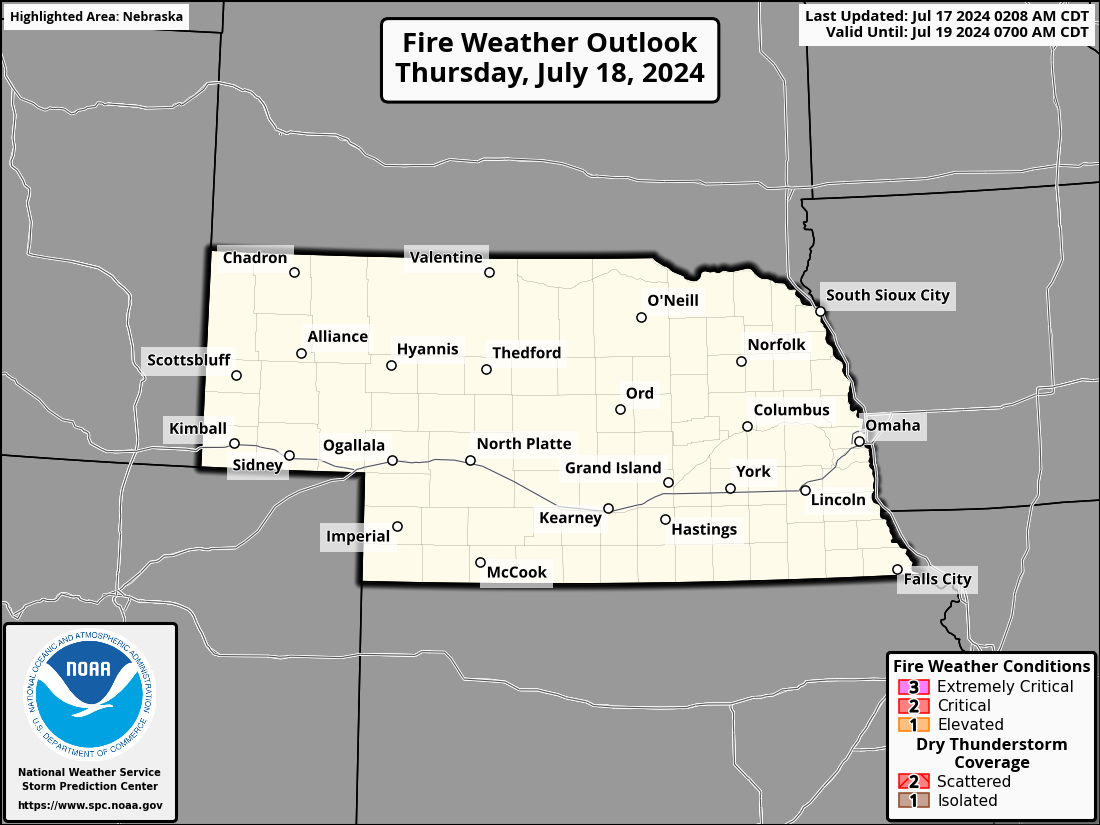
| Day 3 Fire Weather Risk | Day 4 Fire Weather Risk |


| Day 5 Fire Weather Risk | Day 6 Fire Weather Risk |


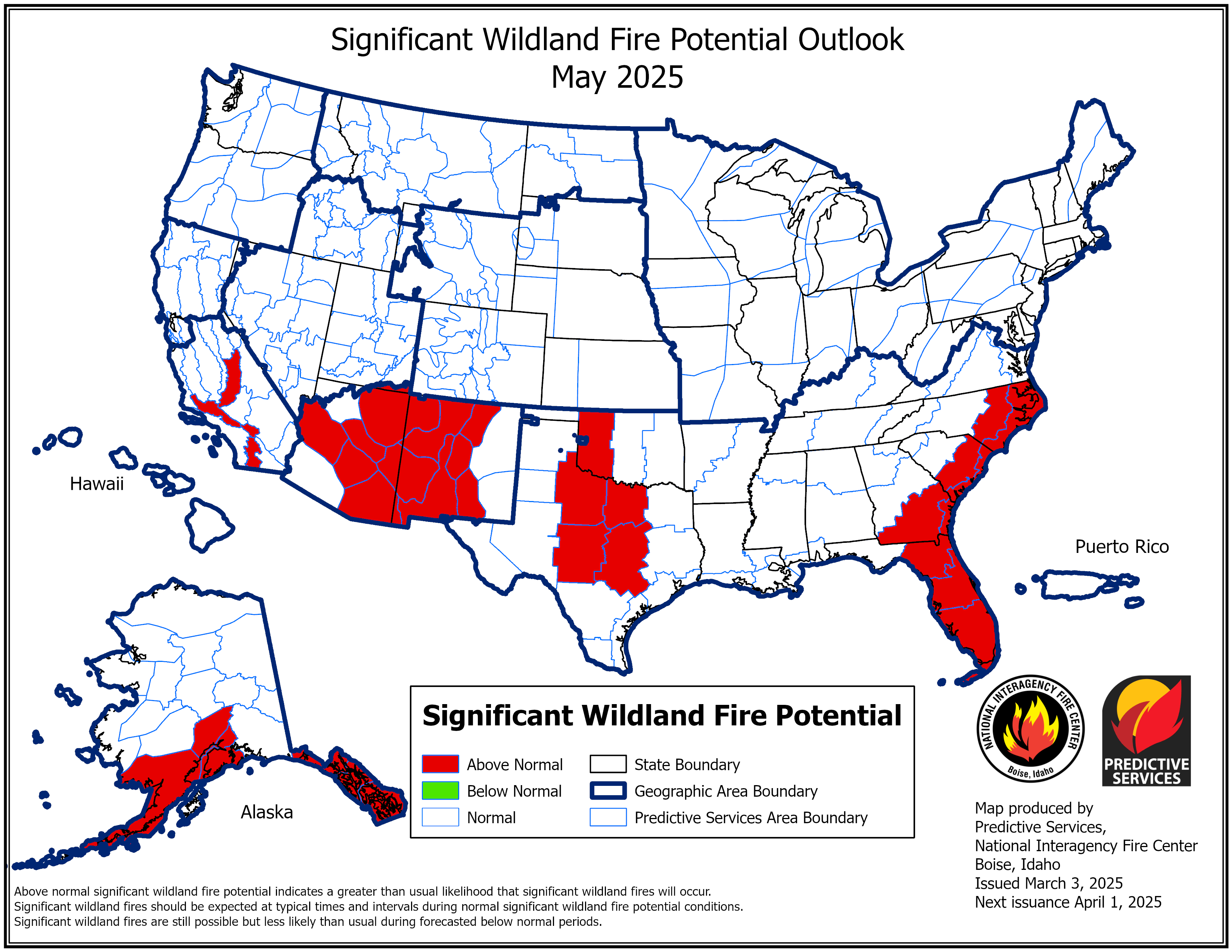
| This Month Wildland Fire Potential | Next Month Wildland Fire Potential |
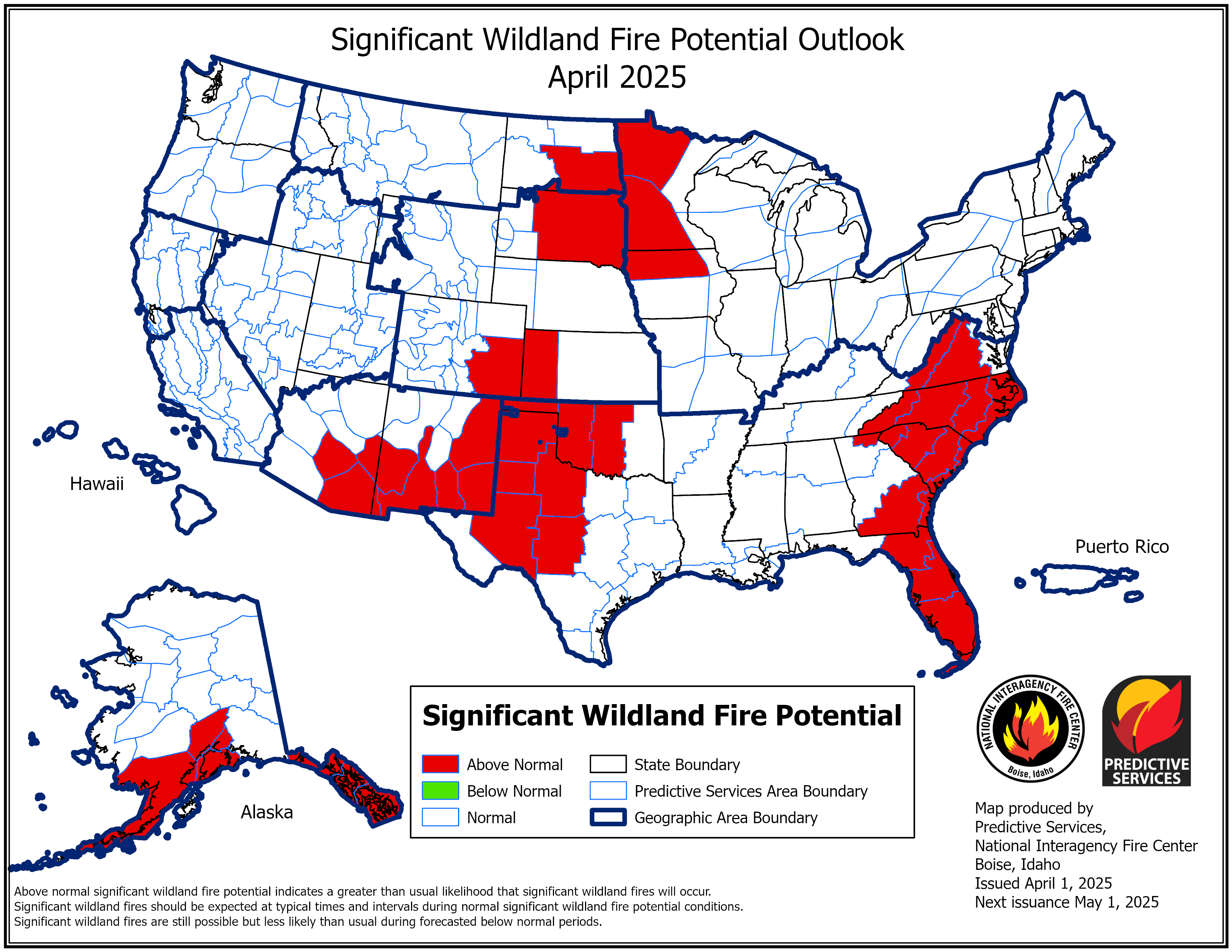
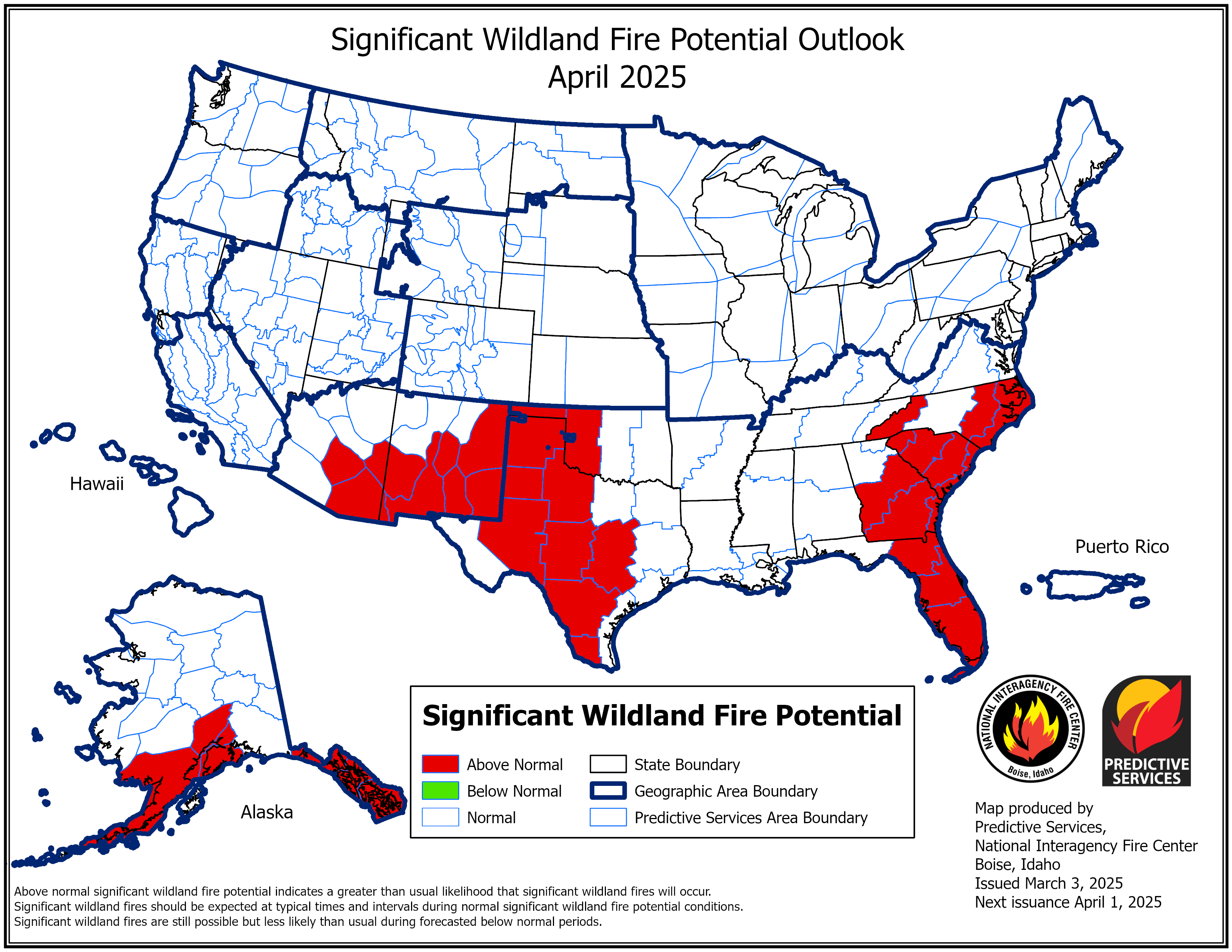
| Month 3 Wildland Fire Potential | Month 4 Wildland Fire Potential |

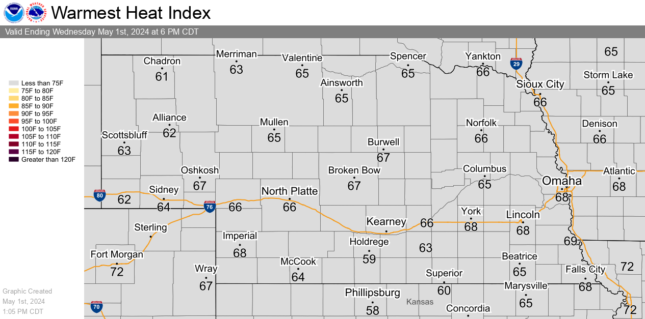
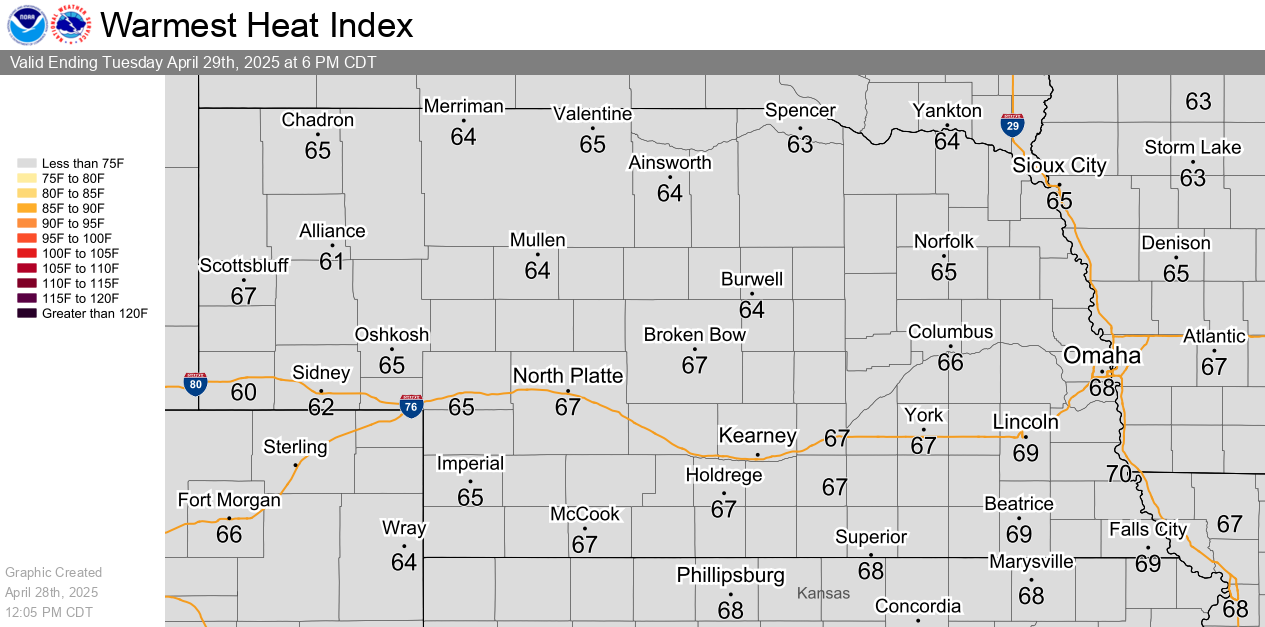
| Today's Maximum Heat Index | Tomorrow's Maximum Heat Index |
NWS Heat Risk interactive forecast and maps
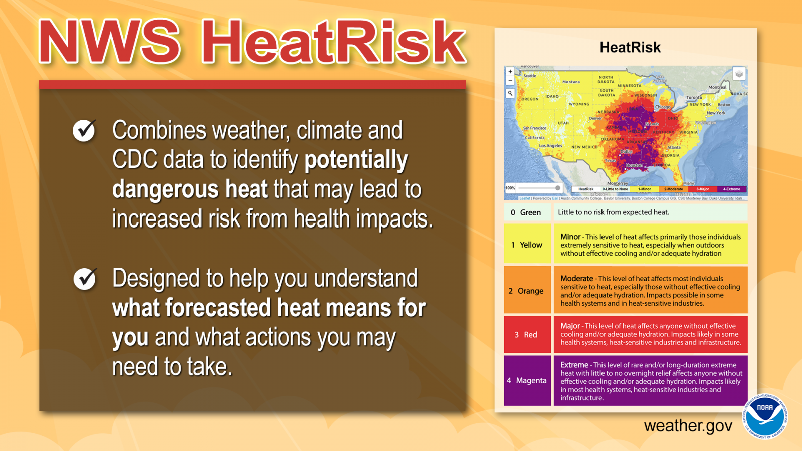
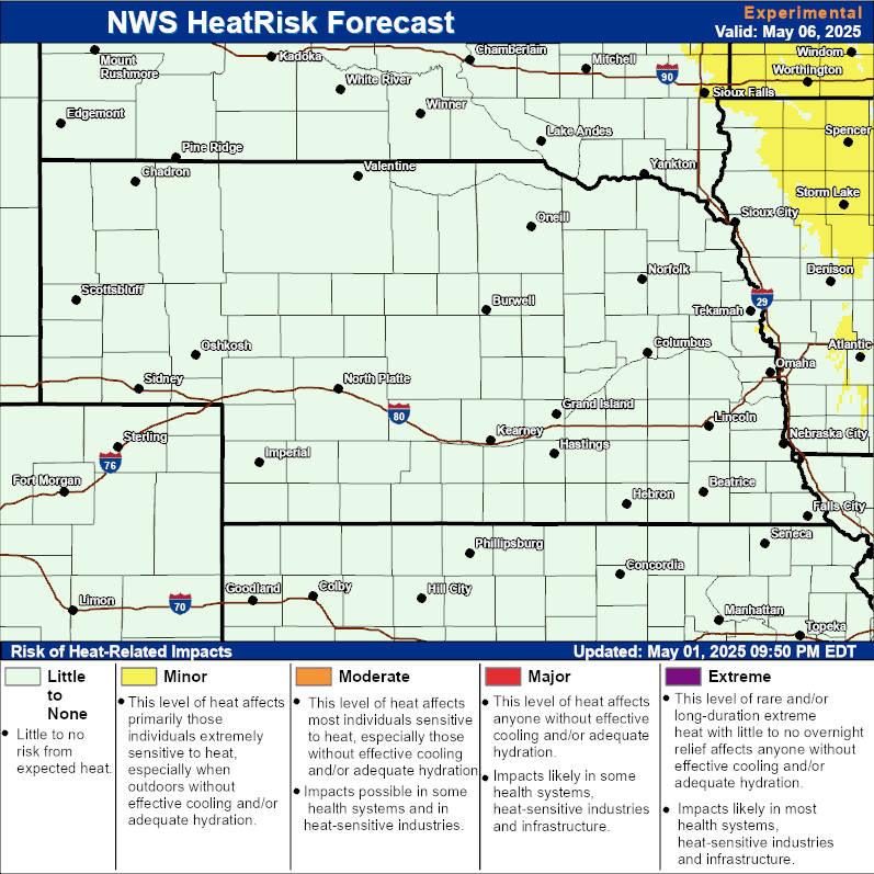
| Today's Heat Risk | Tomorrow's Heat Risk |
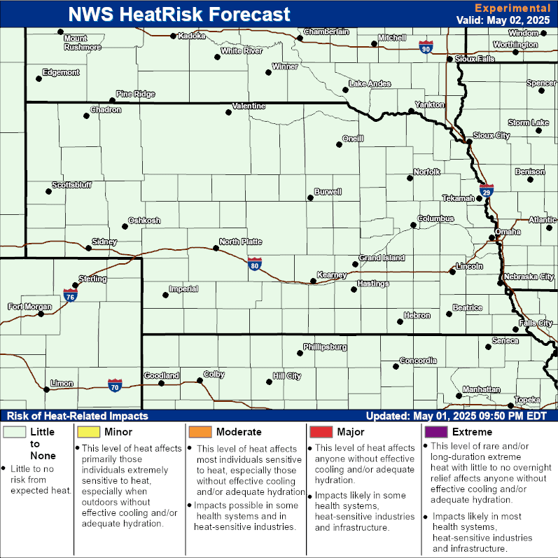
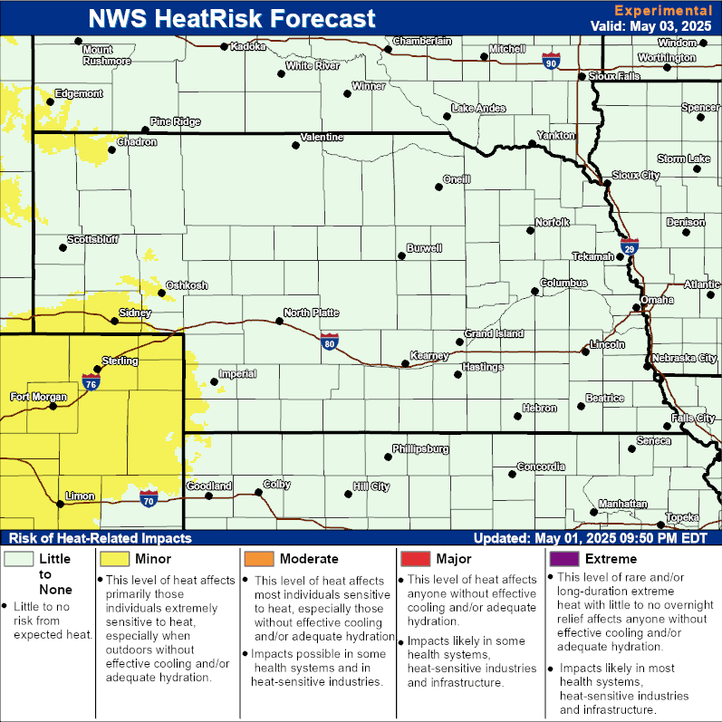
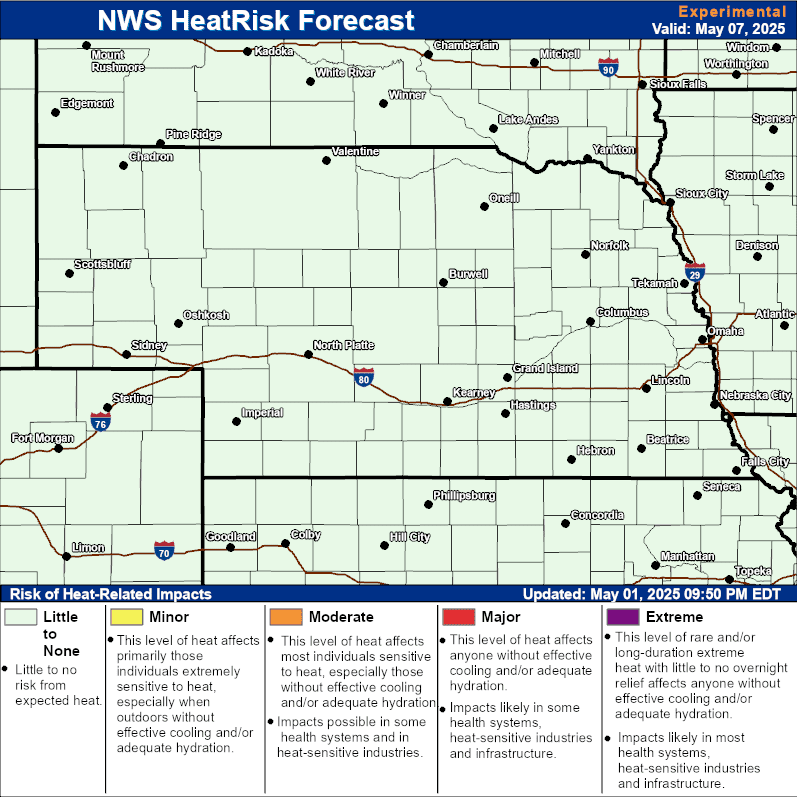
| Day 3 Heat Risk | Day 4 Heat Risk |
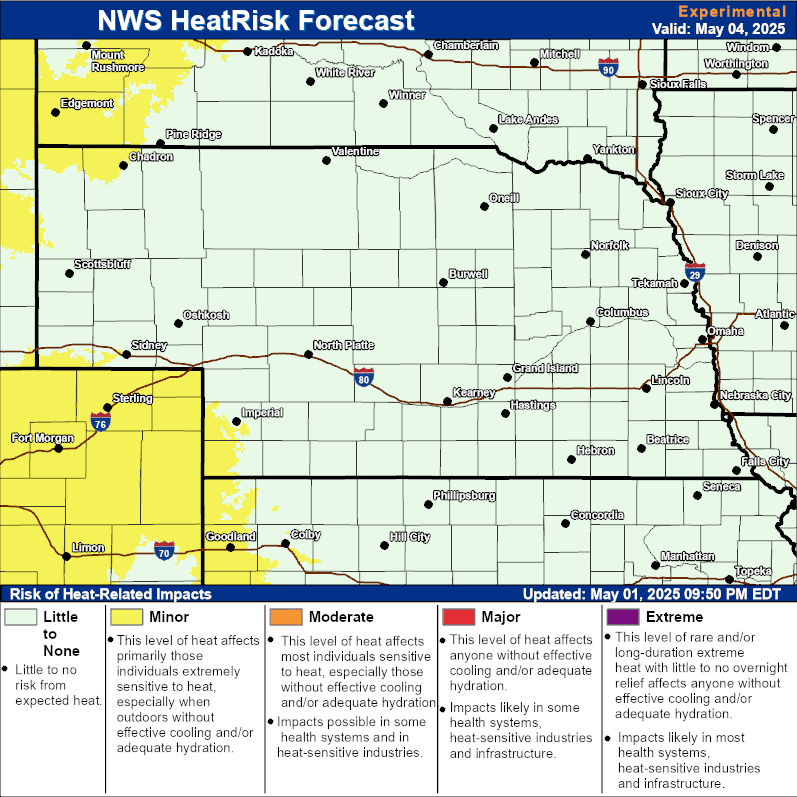
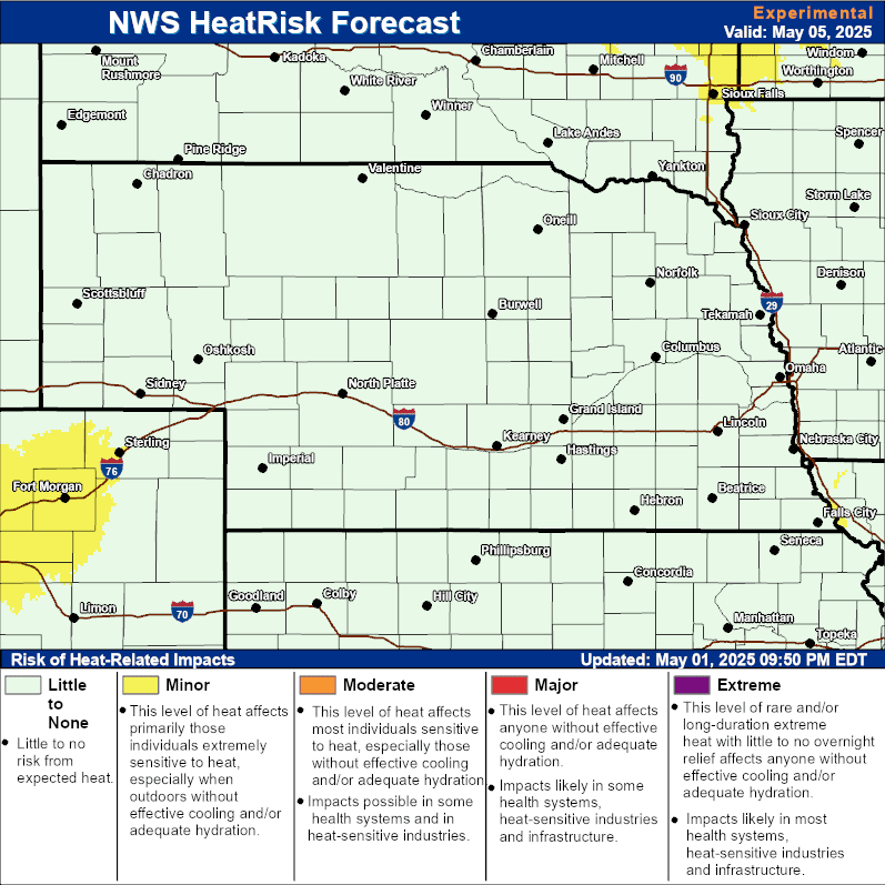
| Day 5 Heat Risk | Day 6 Heat Risk |
| 0-24 Hour Precip Forecast | 24-48 Hour Precip Forecast |
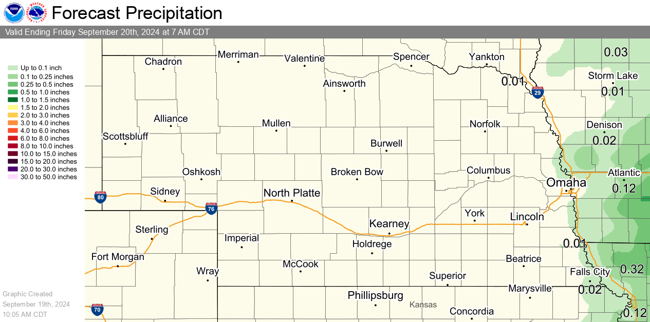
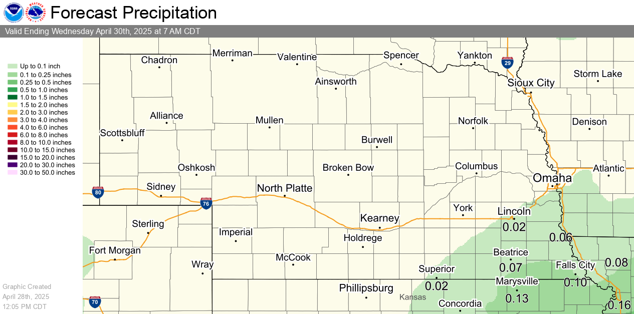
| 48-72 Hour Precip Forecast | 7 Day Precip Forecast |
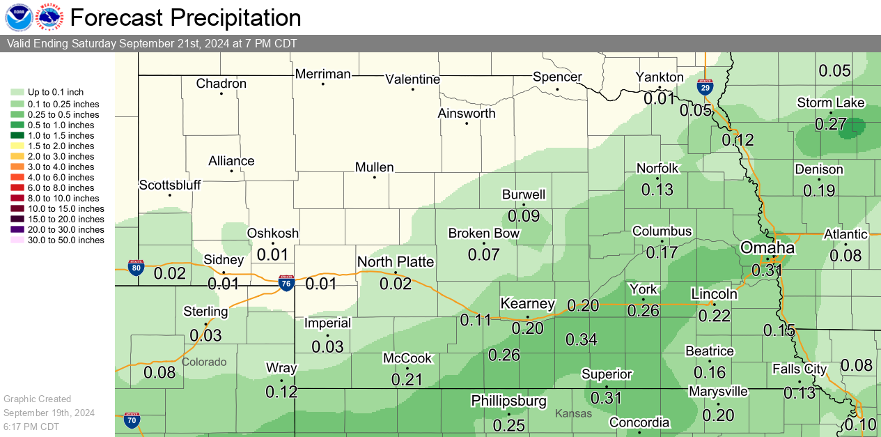
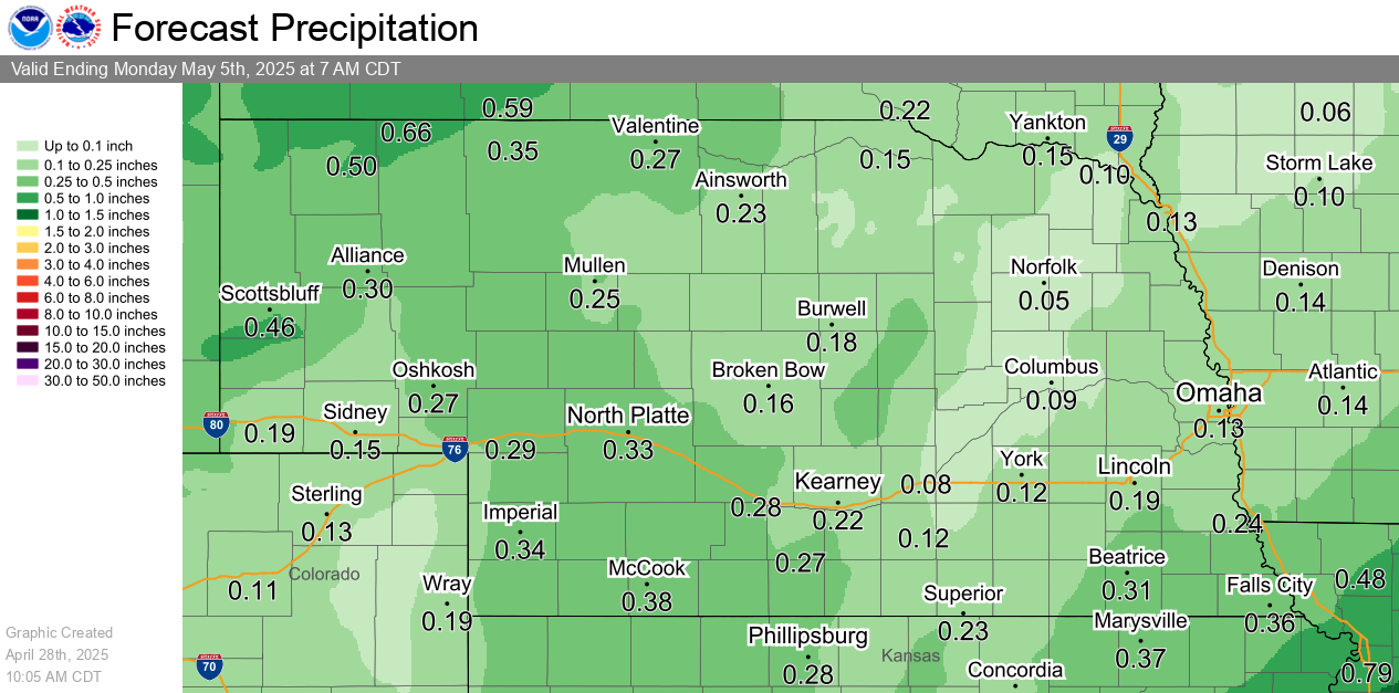
| Today's Flash Flooding Potential | Tomorrow's Flash Flooding Potential |
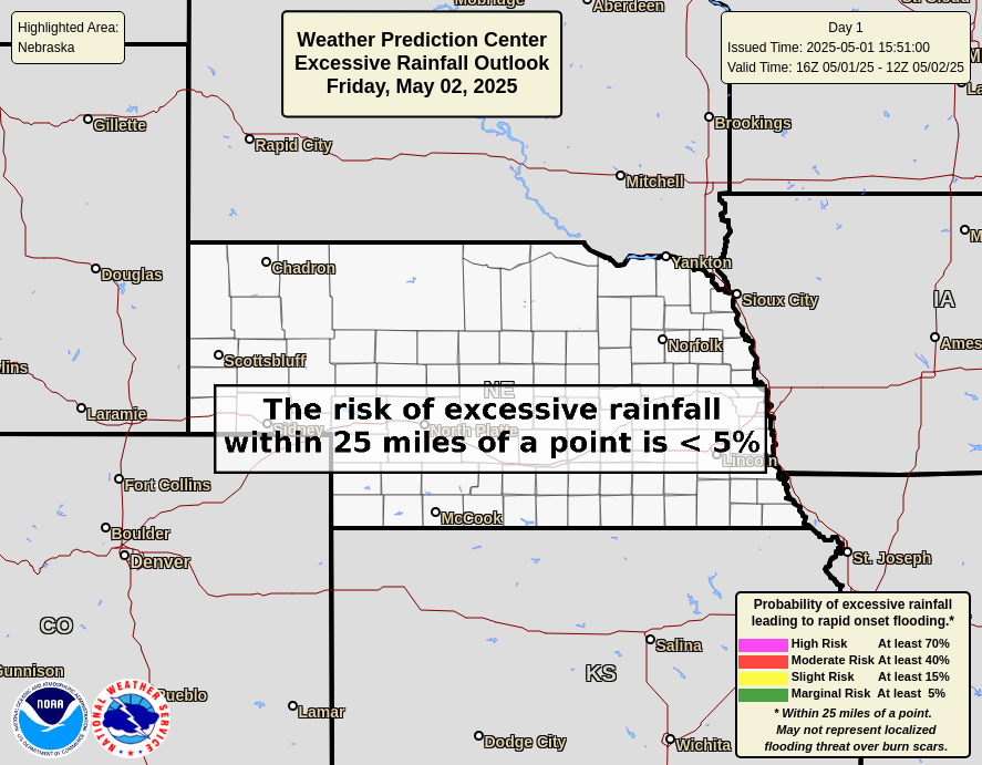
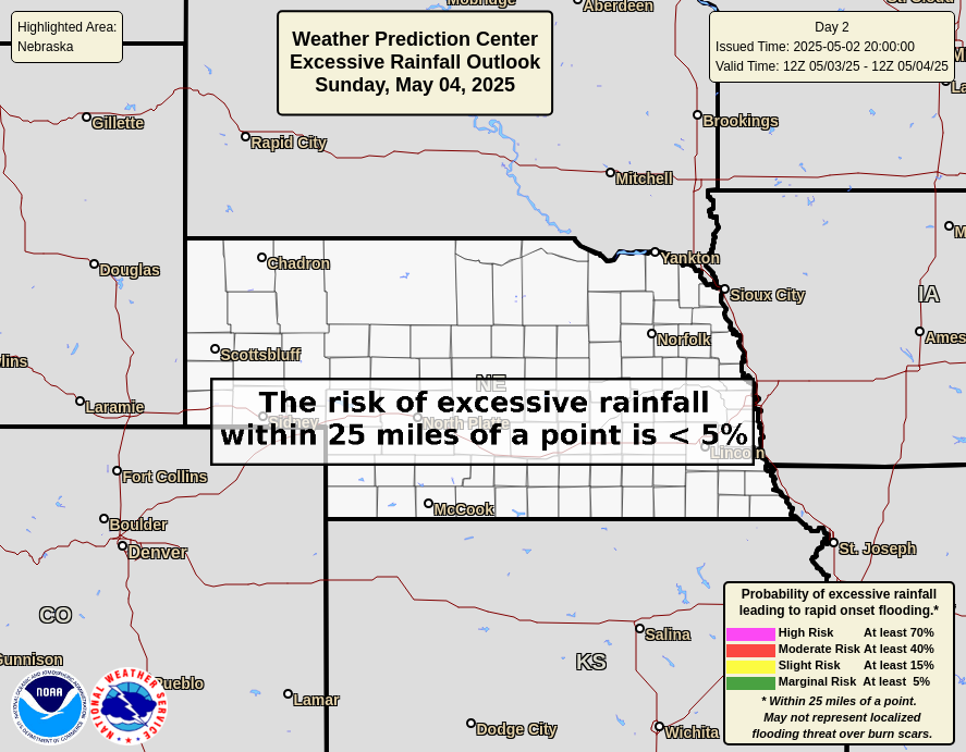
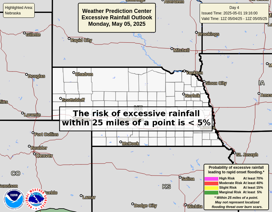
| Day 3 Flash Flooding Potential | Day 4 Flash Flooding Potential |
 |
 |
|
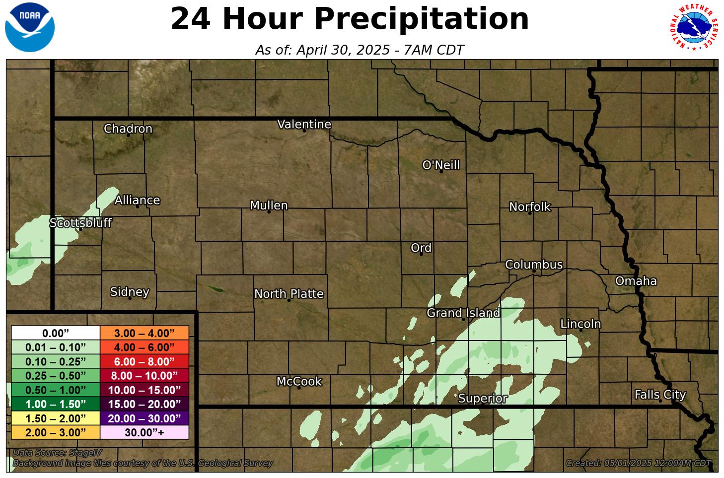
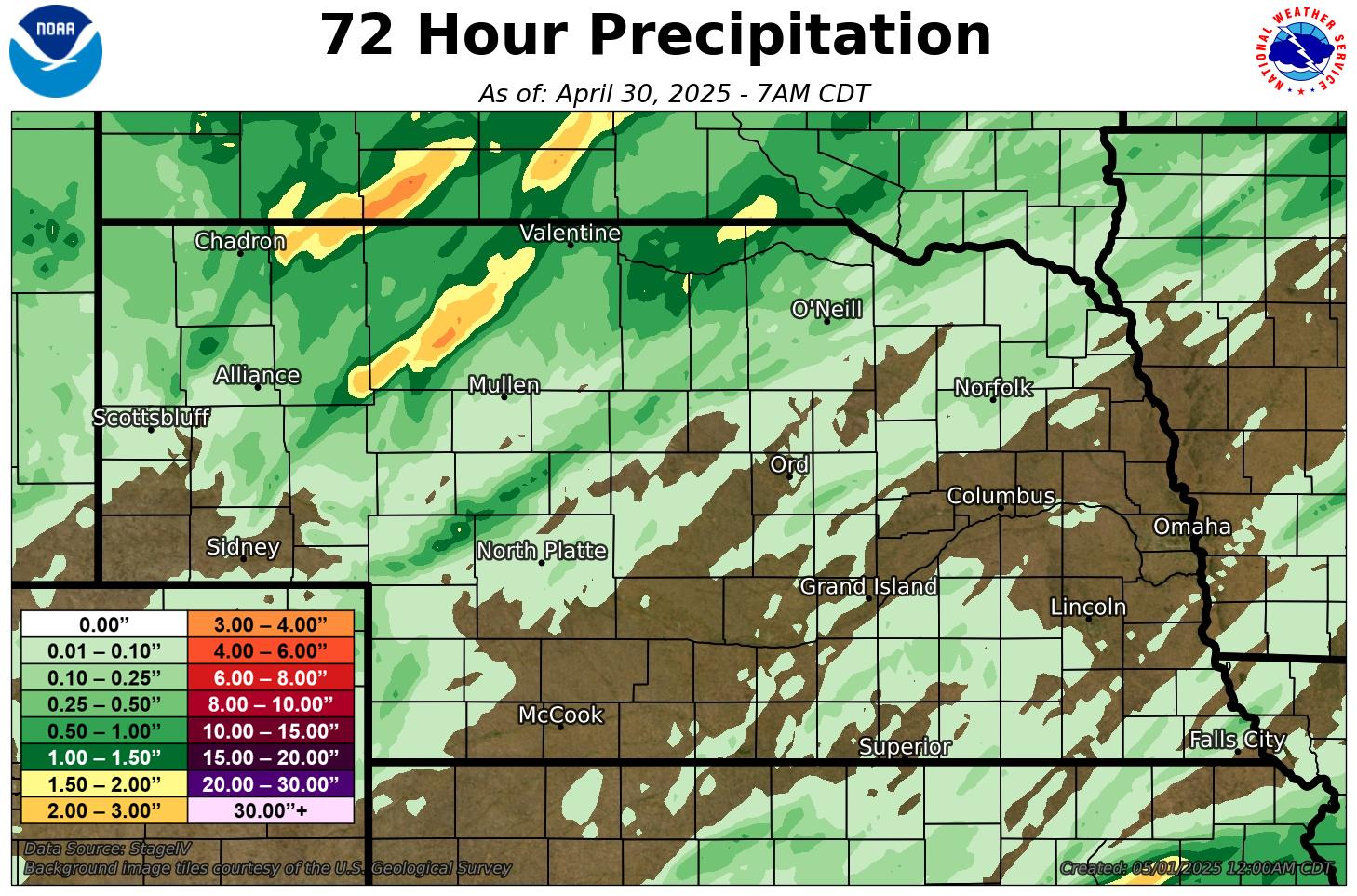
Observed Precipitation |
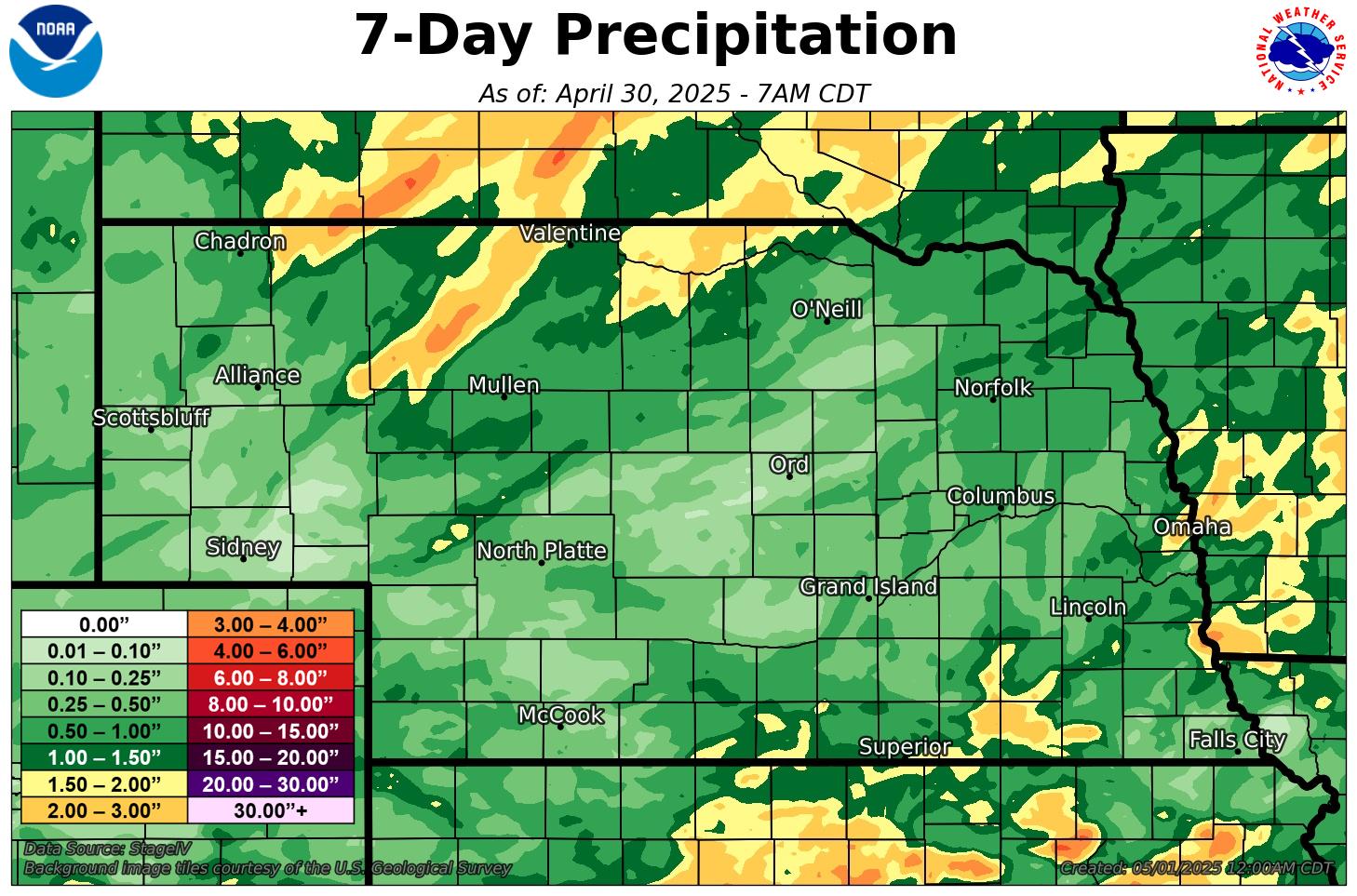
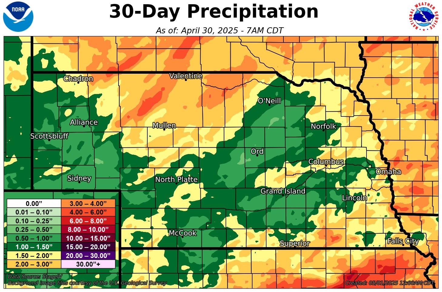
|
Click here for river and lake gauge readings and forecasts For more information about river forecasts and flooding potential, visit Missouri Basin River Forecast Center |
|
Other Resources Click on the image to zoom and click on the header to link to the webpage. |
|
|
CoCoRaHS (Daily precip reports)
|
High Plains Regional Climate Center
|
| U.S. Drought Monitor | Seasonal Drought Outlook |
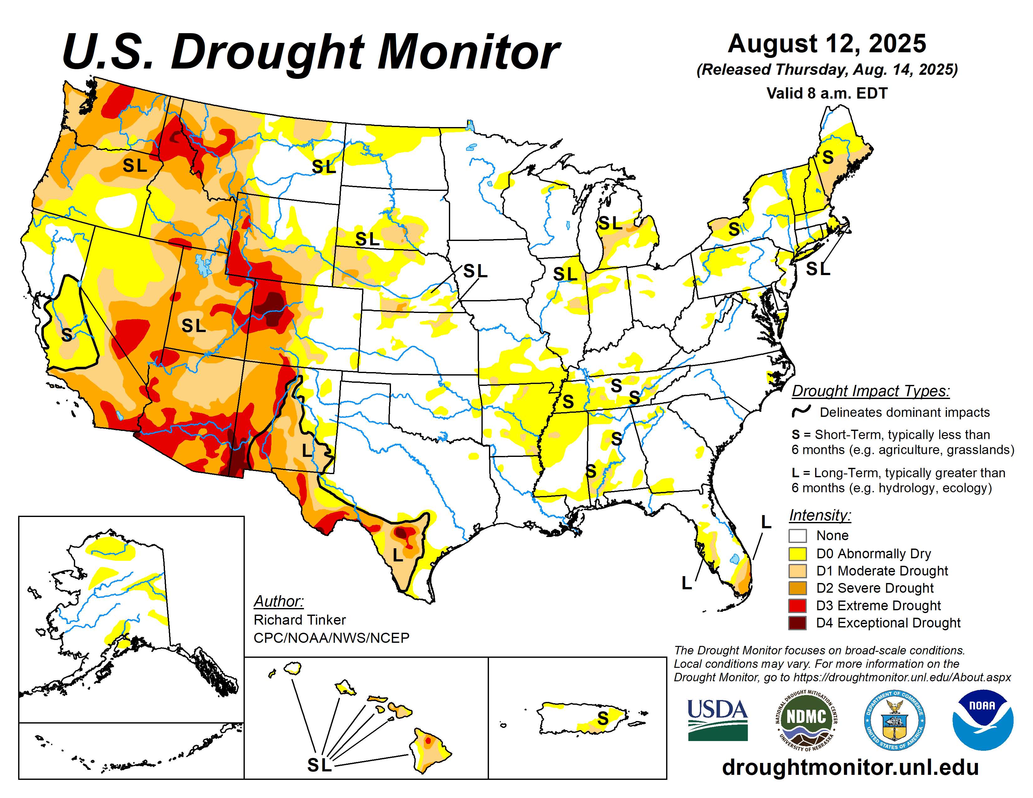

| Nebraska Current Drought Monitor | One Week Drought Change |


| One Month Drought Change | One Year Drought Change |


Interactive maps & additional information
Drought Monitor (Univ. Nebraska - Lincoln / NOAA / USDA)
Drought.gov (NOAA - National Integrated Drought Info System)