North Platte, NE
Weather Forecast Office
Overview
|
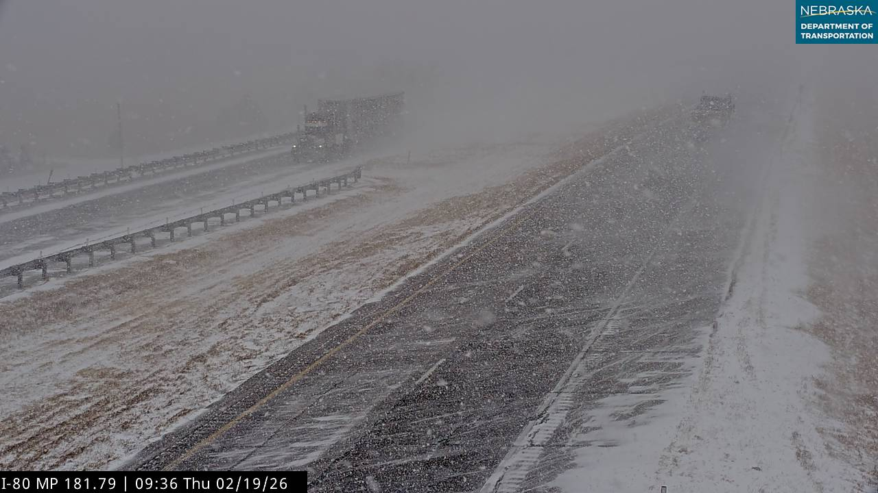
A strong cold front moved through the region, bringing an end to the well above normal temperatures. Temperatures were much colder behind the front with highs in the teens across western and north central Nebraska. An upper level low then moved east out of the Rockies and into western Nebraska eastward towards the Kansas/Nebraska border. A band of heavier snowfall developed across portions of the Sandhills into central Nebraska. As snow combined with strong northwesterly winds of 30 to 40 mph, visibilities dropped below a mile at times with blowing and drifting snow. Snow ranged from 4 to 6 inches within the heavy snow band with some locations receiving up to 8 inches. There was a sharp cutoff in snowfall amounts outside of the band ranging from 1 to 3 inches. Some locations across far southwest Nebraska and portions of north central Nebraska saw little to no snow. The visible satellite image below shows a good depiction of the snow band.
|
|
Radar
Thursday morning (2/19) - Thursday late evening (2/19)
 |
 |
 |
| Thu. 3 AM CST - Thu. 9 AM CST | Thu. 9 AM CST - 3 PM CST | Thu. 3 PM CST - Thu. 9 PM CST |
Radar loops courtesy of Iowa Environmental Mesonet. Pink county outline = Winter Storm Warning
Snow Maps
Storm total snow from Feb. 19, 2026

Amounts derived from local storm reports, automated airport gauges, Cooperative Weather Observers, CoCoRaHS.
Season-to-date (Sept. 1 - Feb. 23) snowfall (this map shows snowfall through Feb. 23, 2026):

Snowfall Reports

 |
Media use of NWS Web News Stories is encouraged! Please acknowledge the NWS as the source of any news information accessed from this site. |
|
HAZARDS
Active Alerts
National Radar
National Hurricane Center
Storm Prediction Center
Weather Prediction Center
River Flooding
Decision Support
Submit a Storm Report
Recent Storm Reports
CURRENT CONDITIONS
CoCoRaHS
Enhanced Data Display
Local Radar
National Radar Mosiac
Observations
National Snow Cover
Precipitation Mapped
Regional Links
Satellite
Snowfall Analysis
FORECASTS
Area Forecast Discussion
Aviation Weather Center
Local Aviation Weather
Fire Weather
Recreation Forecast
National Graphical Forecast
Local Graphical Forecast
CLIMATE
Local Climate
National Climate
North Platte - Daily
North Platte - Monthly
Valentine - Daily
Valentine - Monthly
Broken Bow - Daily
Broken Bow - Monthly
Imperial - Daily
Imperial - Monthly
NIDIS Drought
NOAA Climate Science
Local Storm Reports
Local Drought Statement
US Dept of Commerce
National Oceanic and Atmospheric Administration
National Weather Service
North Platte, NE
5250 E. Lee Bird Drive
North Platte, NE 69101-2473
308-532-4936
Comments? Questions? Please Contact Us.