Dangerous and extreme heat will remain across portions of the southern U.S. through the weekend. A heat wave over the Southwest U.S. will intensify this week, peaking and expanding into the Intermountain West and northern High Plains this weekend. Multiple rounds of thunderstorms will produce heavy to excessive rainfall with significant flash flooding across portions of southern New England. Read More >
Overview
|
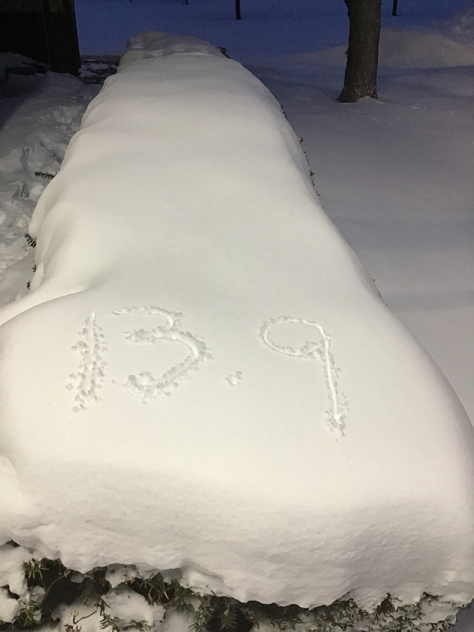
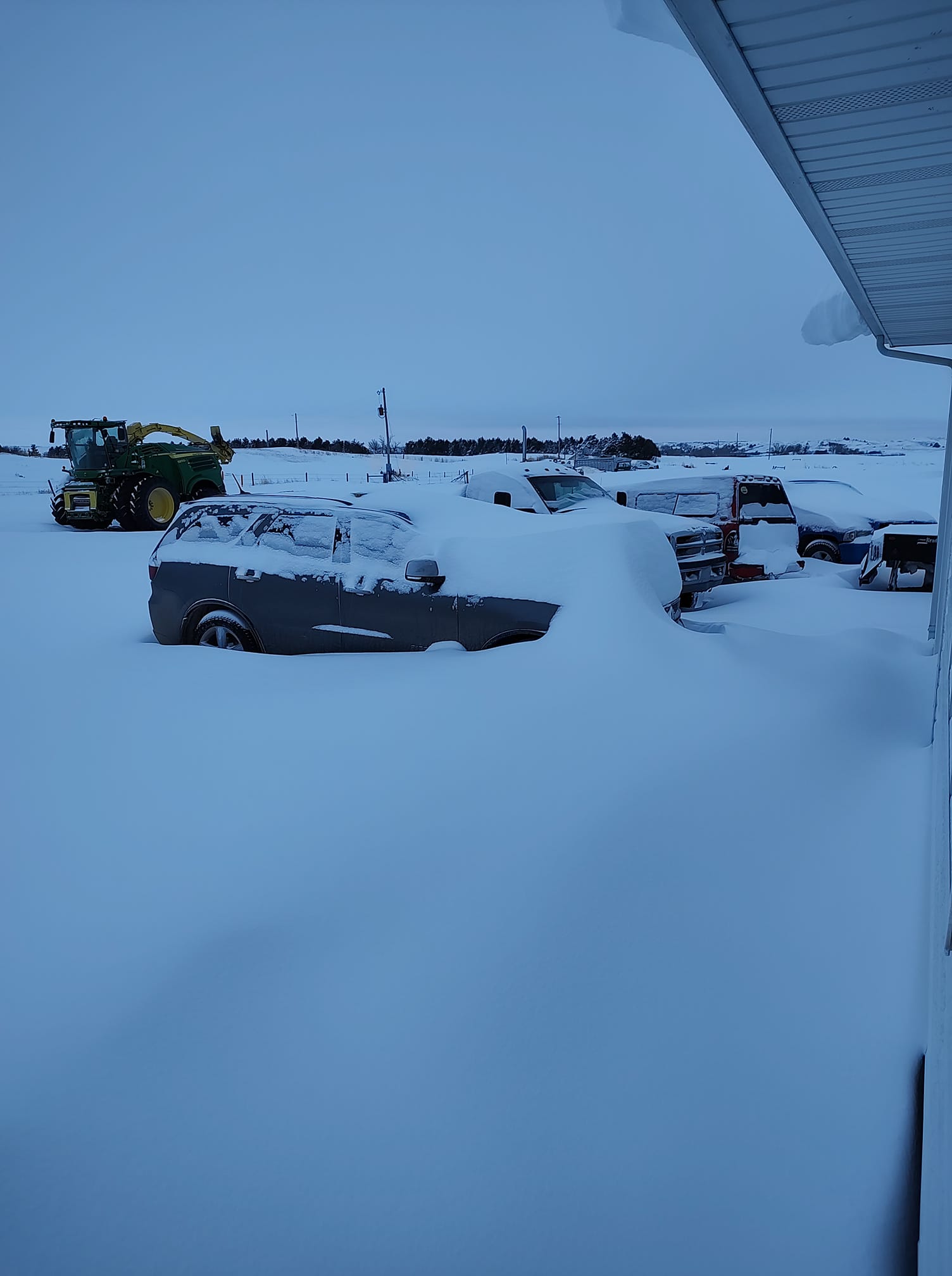
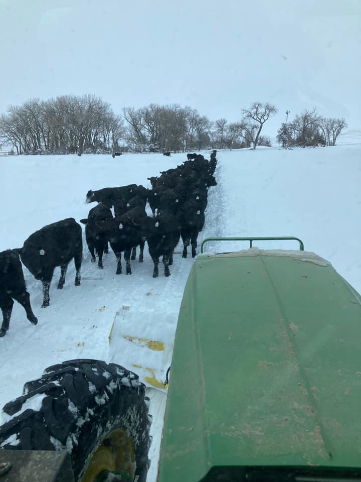
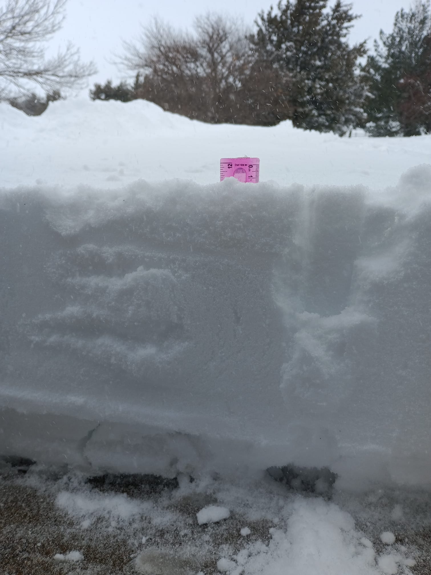
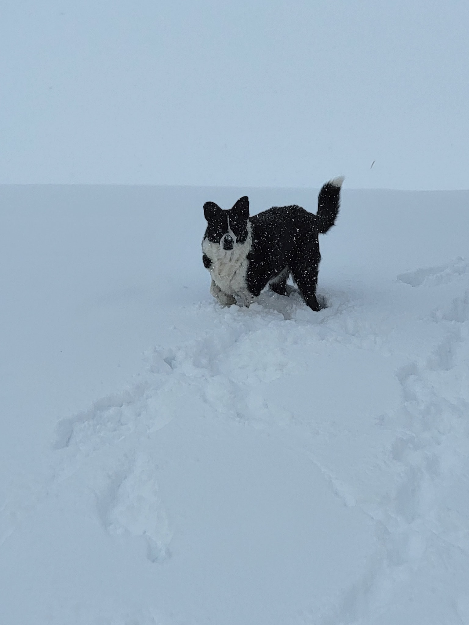
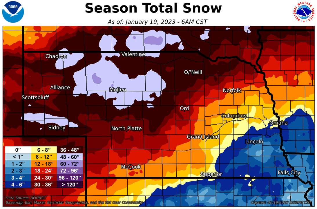
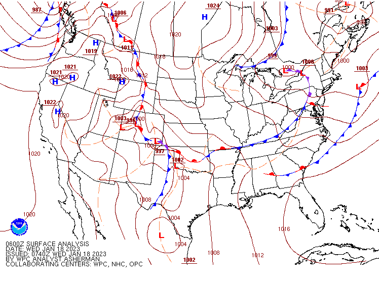
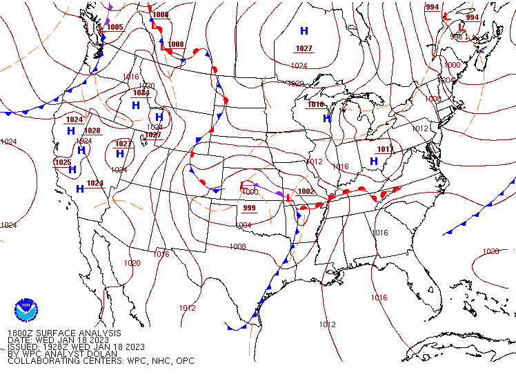
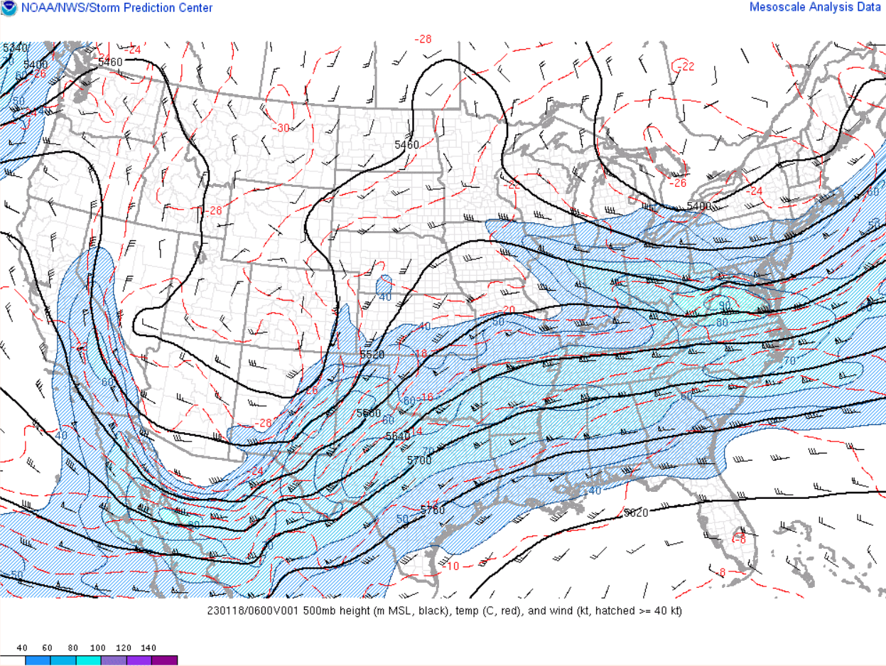
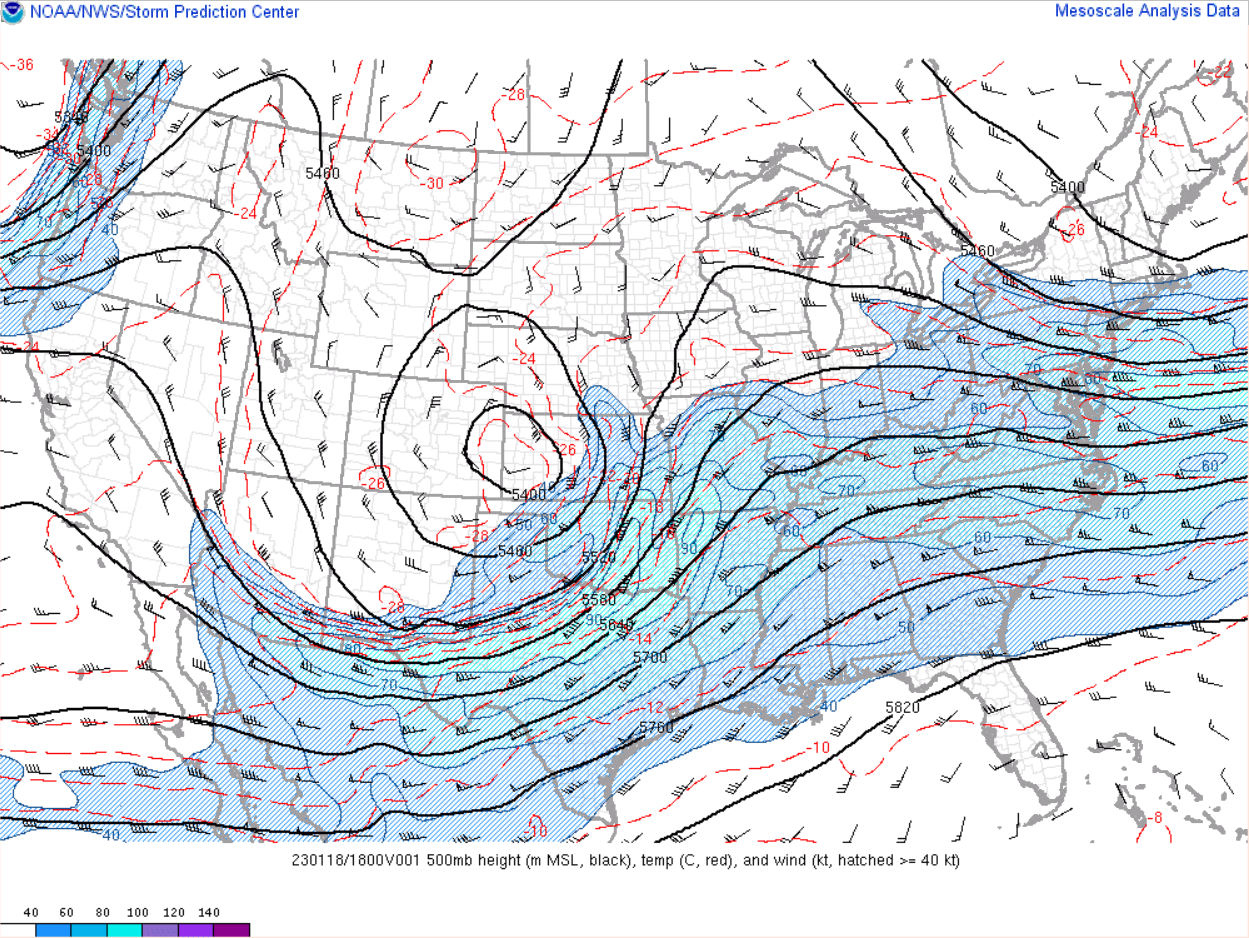
An area of low pressure developed along the lee of the Rockies in eastern Colorado and tracked northeast across the Great Plains on Wednesday, January 18, 2023. Plentiful moisture and powerful dynamics of a system more typical of a springtime storm came together to result in a swath of significant snowfall across western and north central Nebraska. When all was said and done, the single calendar day snowfall record was broken at North Platte with a total of 13.9", while two feet of snow was reported in nearby Custer County. This storm was also the third major snow storm to impact the forecast area in the course of a month. With January not yet complete, portions of the northern Sandhills have nearly doubled the normal winter season's worth of snow. |
(new single day snowfall record) |
Photos
 |
 |
 |
.jpg) |
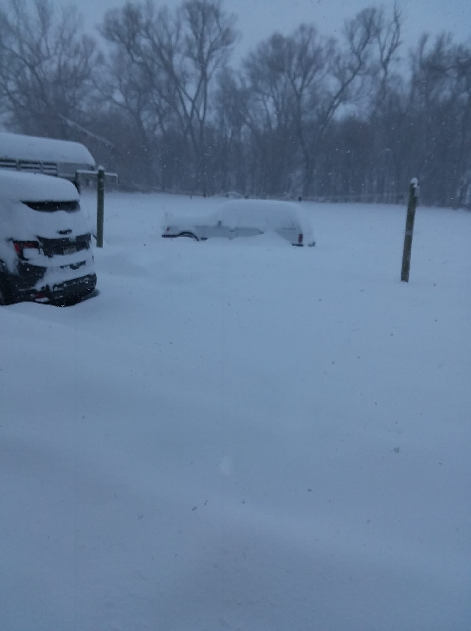
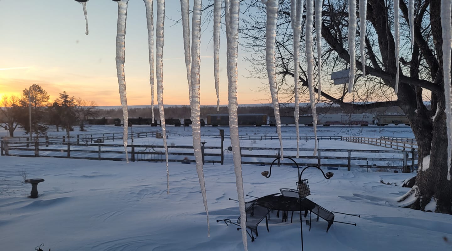
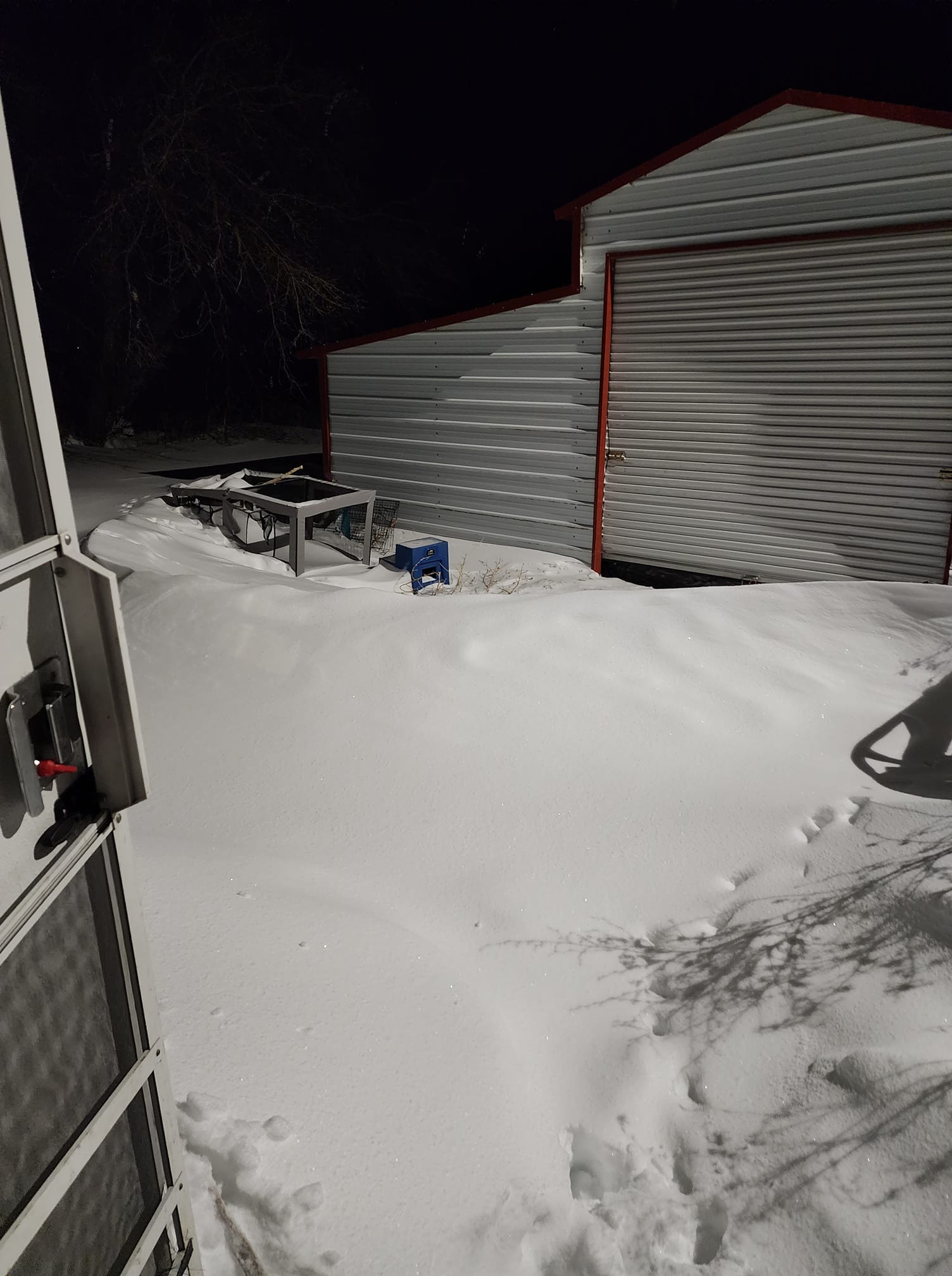
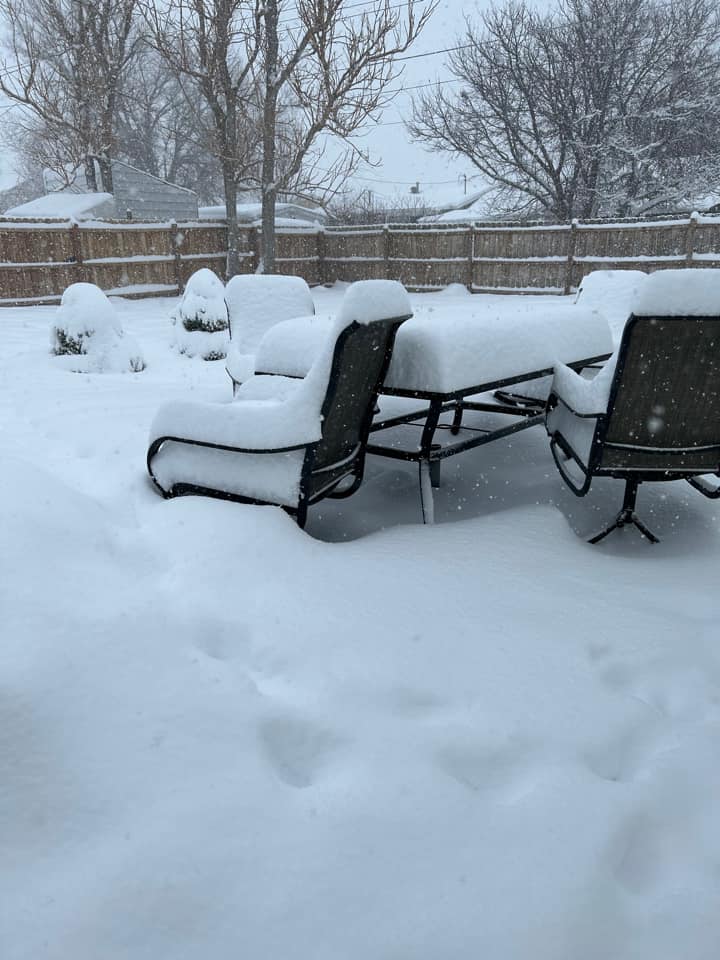
| near Anselmo source: Brenda Rebich |
near Big Springs source: Starlette Balsoma Connelly |
near Broken Bow source: Laura Perez |
Custer County source: Deb Kennedy |
 |
 |
 |
 |
| near Dunning source: Rhonda Horst |
near Johnstown source: Frank Beel |
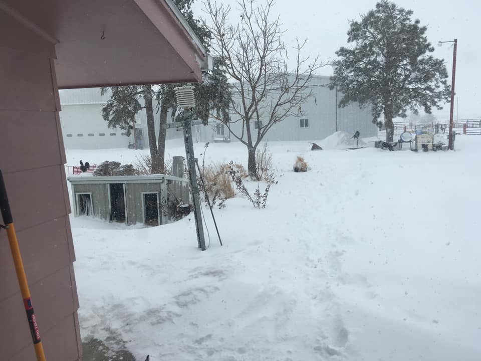
near North Platte source: Jarryn Wiley-Pearce |
near North Platte source: Kel Lie |
 |
 |
 |
.jpg) |
| near Ogallala source: Matt Payne |
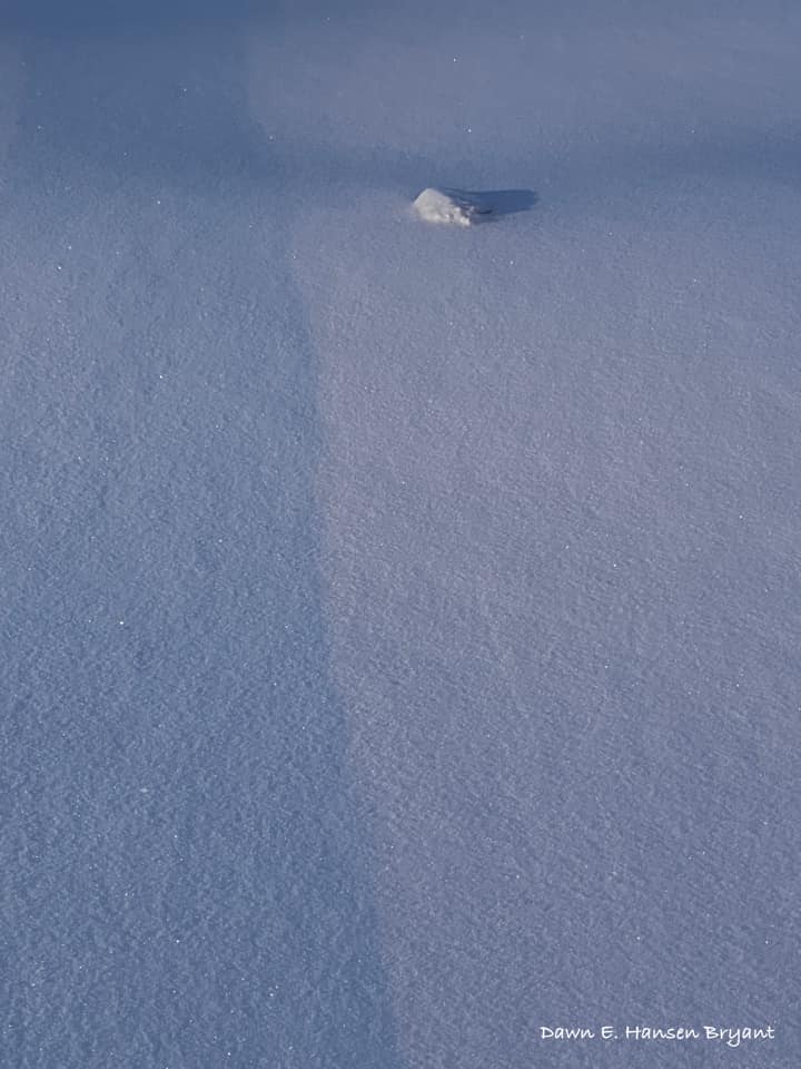
near Thedford source: Dawn E Hansen Bryant |
near Wallace source: Conrad Nelson |
near Whitman source: Sydney Nielson |
For more pictures, visit our Facebook page: https://www.facebook.com/NWSNorthPlatte
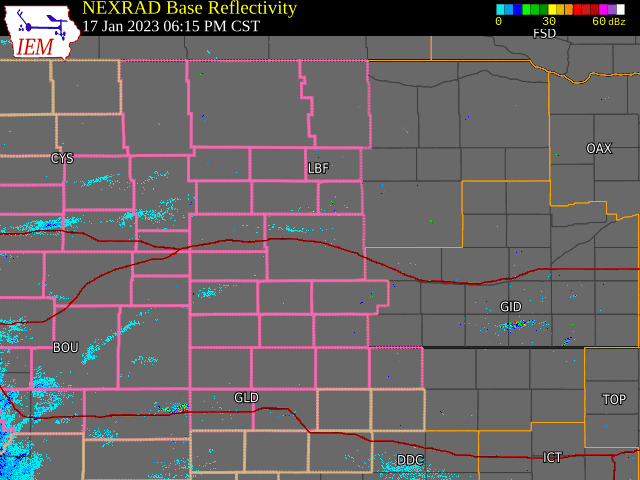
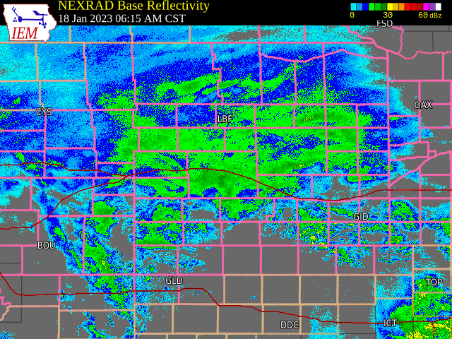
Radar
Tuesday evening (1/17) - Thursday early morning (1/19)
 |
 |
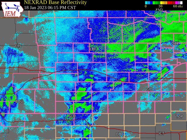 |
| Tue. 6 PM - Wed. 6 AM CST | Wed. 6 AM - 6 PM CST | Wed. 6 PM - Thu. 6 AM CST |
Radar loops courtesy of Iowa Environmental Mesonet. Pink county outline = Winter Storm Warning
Snow Maps
Storm total snow from Jan. 18:
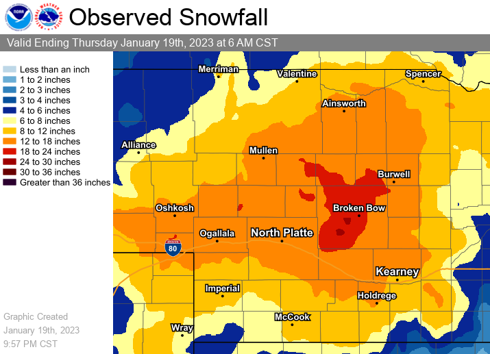
Amounts derived from local storm reports, automated airport gauges, Cooperative Weather Observers, CoCoRaHS.
Season-to-date (Sept. 1 - Jan. 19) snowfall:
Environment
Surface analysis:
 |
 |
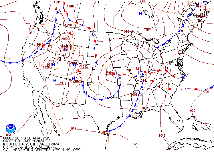 |
| Early Wednesday morning | Wednesday afternoon | Late Wednesday night |
Upper air analysis (500mb):
 |
 |
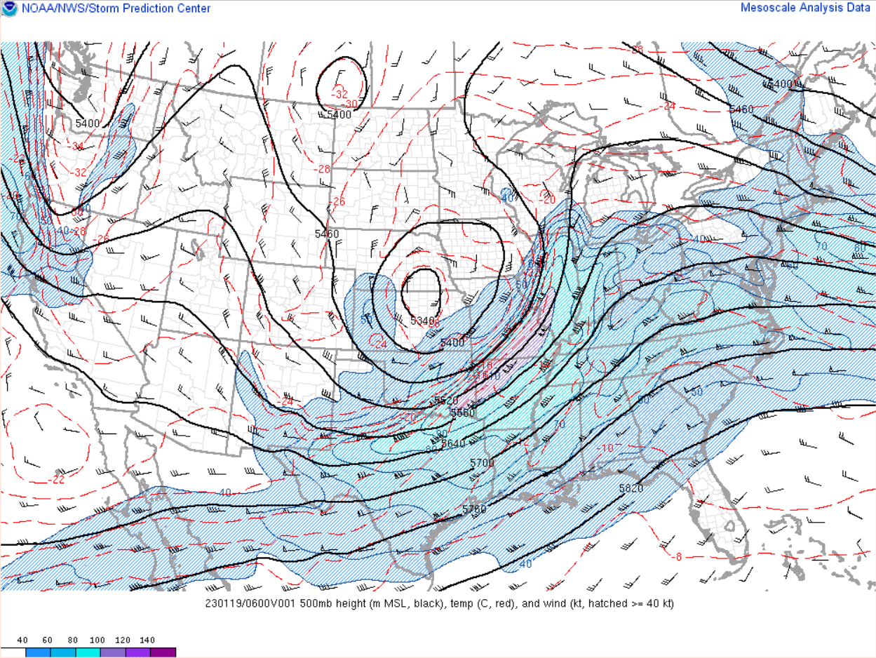 |
| Early Wednesday morning | Wednesday afternoon | Late Wednesday night |
The "Colorado Low":
.png)
 |
Media use of NWS Web News Stories is encouraged! Please acknowledge the NWS as the source of any news information accessed from this site. |
|