
Dangerous and extreme heat will remain across portions of the central U.S. this week, persisting across the mid to lower Mississippi Valley, Gulf Coast, southern Plains and portions of Texas. A heat wave over the Southwest U.S. will peak this weekend. Heavy to excessive rainfall may produce flash flooding from the Delmarva Peninsula north into the Hudson Valley today and tonight. Read More >
Lake Charles, LA
Weather Forecast Office
April 2 Tornadoes and Flooding
| Event Summary | Meteorological Setup | Tornadoes | Flooding |
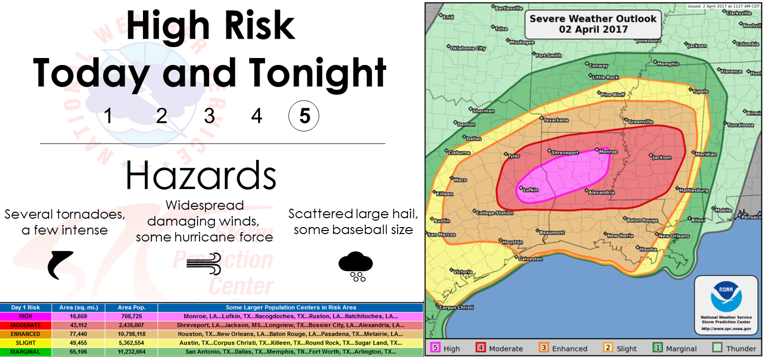
An unstable atmosphere developed across Southeast Texas and Southwest Louisiana during April 2nd in advance of an approaching low pressure system. A supercell thunderstorm developed during the early morning hours over Acadiana that produced widespread large hail and two tornadoes between Lafayette and Breaux Bridge. A second supercell developed in the afternoon and produced three tornadoes along Highway 165. The approaching cold front triggered multiple rounds of thunderstorms that trained over Vernon and Rapides Parishes during the evening of April 2nd. A widespread 8 to 11 inches of rain fell during a six hour period which produced flash flooding. The runoff from this heavy rainfall fed into local area rivers and produce moderate to major flooding downstream over the next several days.
Forecasts
Graphical Forecasts
Wet Bulb Globe Temps
Aviation Weather
Activity Planner
Mardi Gras Decision Support
Marine Forecasts
Local Products
Model Data
Forecaster's Discussion
Fire Weather
Other Links
National Hurricane Ctr
Storm Prediction Ctr
Weather Prediction Ctr
Other Links
Office History
LCH StoryMap
Hazards
Severe Weather
Tropical Weather
National Outlooks
Local Storm Reports
Tropical Cyclone Reports
Current
Satellite Data
Observations
Tide Data
Hydrology
Calcasieu Par. Network
Jefferson Co. DD6 Network
River/Lake Forecasts
Radar
Shreveport (SHV)
New Orleans (LIX)
Fort Polk (POE)
Houston/Galveston (HGX)
Lake Charles (LCH)
Probabilistic Pages
Probabilistic DSS
Probabilistic Snowfall
Probabilistic Rainfall
US Dept of Commerce
National Oceanic and Atmospheric Administration
National Weather Service
Lake Charles, LA
500 Airport Boulevard
Lake Charles, LA 70607
(337) 477-5285 M-F 8a to 4p only
Comments? Questions? Please Contact Us.

