Dangerous and extreme heat will remain across portions of the Central U.S. this week, persisting across the Mid to Lower Mississippi Valleys, Gulf Coast, Southern Plains and portions of Texas. A heat wave over the Southwest will intensify late this week. Severe thunderstorms and flash flooding will spread from the Great Lakes/Ohio Valley to the Mid-Atlantic and Northeast the next few days. Read More >
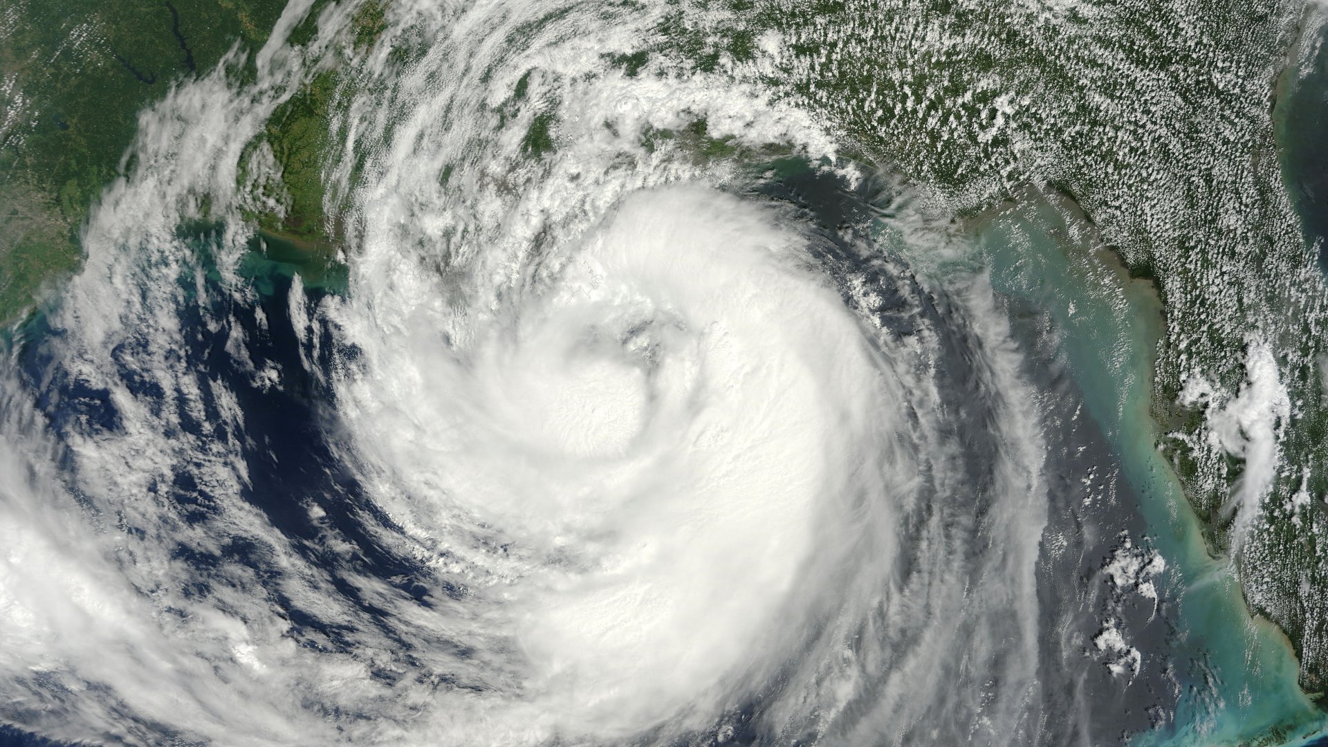
| Hurricane Isaac | ||
| August 21-September 1, 2012 | ||
|
|
||
|
Radar and Satellite Animated Imagery
(NWS LCH YouTube) |
||||||||||||
|
||||||||||||
| Post Tropical Cyclone Reports | ||||
| Lake Charles, LA | New Orleans, LA | Mobile, AL | Jackson, MS | Tallahassee, FL |
| Tampa Bay, FL | Key West, FL | Miami, FL | Melbourne, FL | National Hurricane Center |
Webpage design by: Donovan Landreneau
Content by: NWS Lake Charles staff, other sources as noted above.