Louisville, KY
Weather Forecast Office
El Niño had a significant influence on temperatures this winter, with the entire region experiencing much warmer than normal conditions and a top ten warm winter. Precipitation was more mixed and near normal, but the warm temperatures resulted in below normal snowfall.
The winter started off on a decidedly springlike note. A long-track EF-3 tornado touched down near Clarksville, TN and stayed on the ground for 48 miles into central Kentucky southwest of Bowling Green. The script flipped by the 18th when snow squalls caused gusty winds and near-zero visibilities in the Bluegrass on the 18th.
Widespread heavy rain in early January brought an end to the drought that had set in the previous September. Mid-January then brought us the "winteriest" part of the winter with 2-4" of snow in southern Indiana and north central Kentucky on the 19th, followed by sub-zero temperatures on the 20th and 21st.
February rode a weather roller coaster, with severe storms on the 10th...snow on the 16th...and a return to severe weather on the 28th.
| Average Temperature | Departure from Normal | Precipitation | Departure from Normal | Snow | Departure from Normal | |
| Bowling Green | 42.4° | +2.8° | 11.20" | -0.86" | 4.8" | -2.1" |
| Frankfort | 39.8° | +3.1° | 10.49" | +0.05" | ||
| Lexington | 41.1° | +4.7° | 13.04" | +1.78" | 6.9" | -4.2" |
| Louisville Ali | 42.4° | +4.1° | 10.02" | -0.91" | 4.6" | -6.2" |
| Louisville Bowman | 40.1° | +2.6° | 9.36" | -1.07" |
8th warmest winter on record at Bowling Green
9th warmest winter on record at Frankfort and Louisville
4th warmest winter on record at Lexington
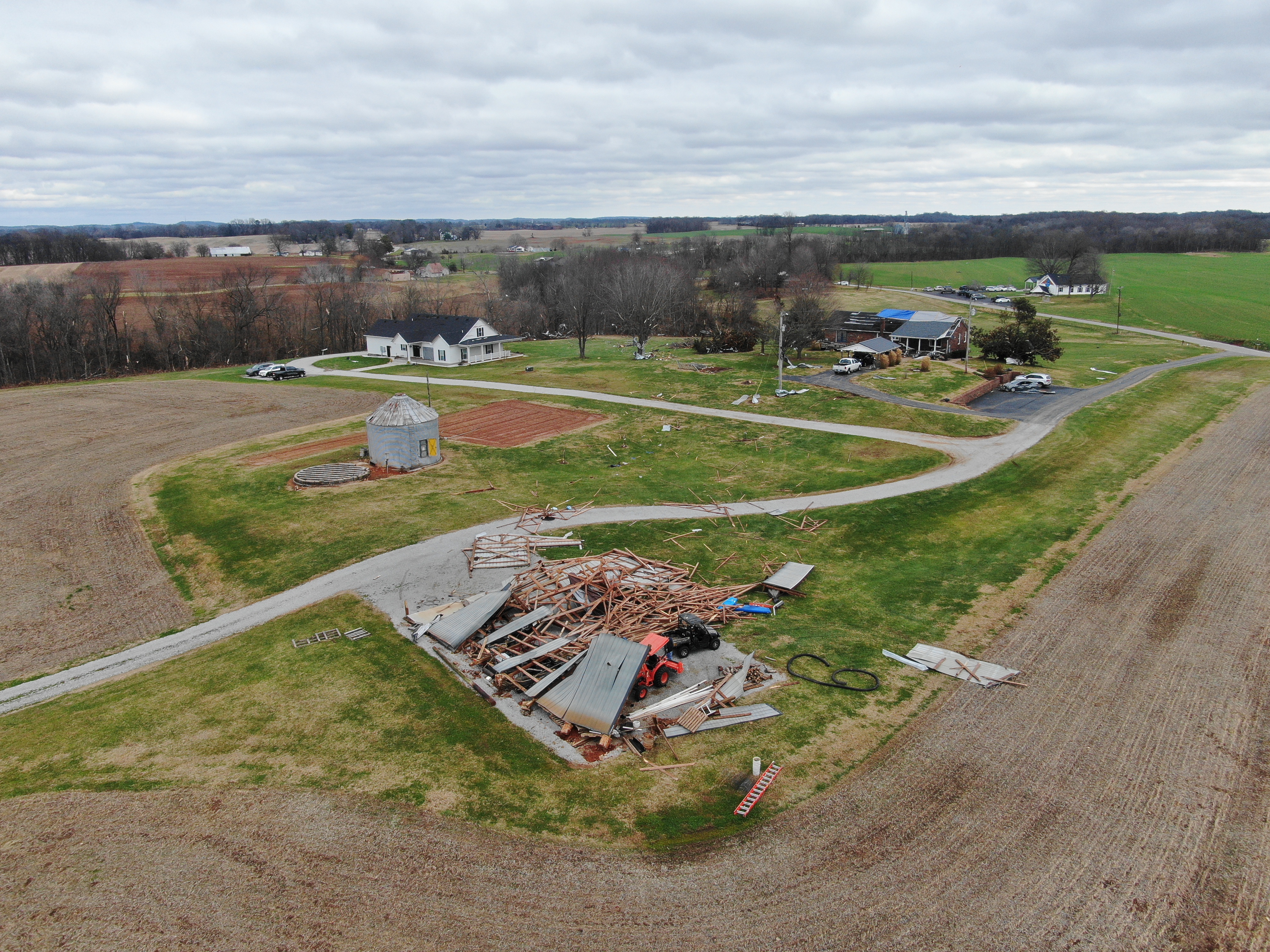
Tornado damage in Lickskillet, Kentucky on December 9, 2023. NWS Storm Survey
Current Hazards
Hazardous Weather Outlook
Storm Prediction Center
Submit a Storm Report
Advisory/Warning Criteria
Radar
Fort Knox
Evansville
Fort Campbell
Nashville
Jackson
Wilmington
Latest Forecasts
El Nino and La Nina
Climate Prediction
Central U.S. Weather Stories
1-Stop Winter Forecast
Aviation
IDSS Forecast Points
Air Quality
Fire Weather
Recreation Forecasts
1-Stop Drought
Event Ready
1-Stop Severe Forecast
Past Weather
Climate Graphs
1-Stop Climate
CoCoRaHS
Local Climate Pages
Tornado History
Past Derby/Oaks/Thunder Weather
Football Weather
Local Information
About the NWS
Forecast Discussion
Items of Interest
Spotter Training
Regional Weather Map
Decision Support Page
Text Products
Science and Technology
Outreach
LMK Warning Area
About Our Office
Station History
Hazardous Weather Outlook
Local Climate Page
Tornado Machine Plans
Weather Enterprise Resources
US Dept of Commerce
National Oceanic and Atmospheric Administration
National Weather Service
Louisville, KY
6201 Theiler Lane
Louisville, KY 40229-1476
502-969-8842
Comments? Questions? Please Contact Us.


 Weather Story
 Weather Map
 Local Radar