


|
Mon / Wed / Fri
|

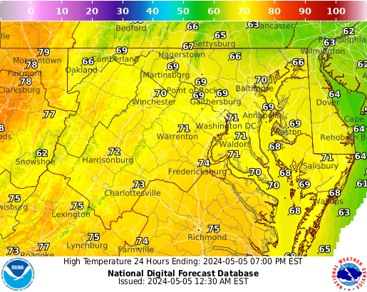
Numerous severe thunderstorms with a potential for 60-80 mph winds, along with tornadoes (some strong), and large to very large hail are expected across the northern and central Plains through tonight. Heavy to excessive rainfall may bring a flooding threat to parts of North Dakota and Minnesota, and from the Ohio Valley to the Southeast through tonight. Read More >
|
||||||
|
|
Mon / Wed / Fri
|
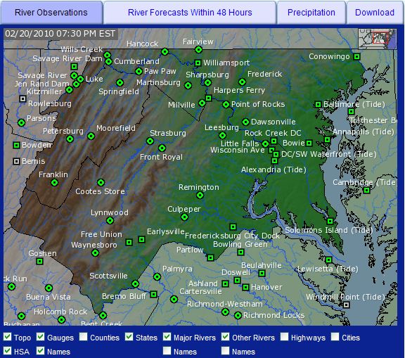
| Baltimore-Washington KLWX Radar | |
 (loop) |
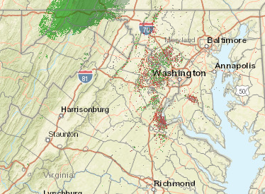 (loop) |
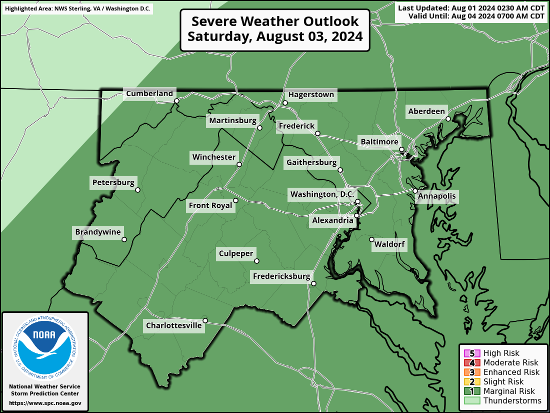
| Storm Prediction Center (SPC) Severe Weather Outlook Graphics | ||
|
Thumbnails may not be representative of the latest forecast since each picture is derived from
the 12 UTC issuance and each 'day' has its own update times throughout the day, so click on the picture to view the latest graphic. |
||
|
Day 1 Outlook
 |
Day 2 Outlook
 |
Day 3 Outlook
 |
|
Day 1 Outlook
 |
Day 2 Outlook
 |
Day 3 Outlook
 |
|
||||||||||||||||||
| _____________________________________________________________ | ||||||||||||||||||
|
||||||||||||||||||
| _____________________________________________________________ | ||||||||||||||||||
|
||||||||||||||||||
| _____________________________________________________________ | ||||||||||||||||||
|
||||||||||||||||||
| _____________________________________________________________ | ||||||||||||||||||
|
||||||||||||||||||
| _____________________________________________________________ | ||||||||||||||||||
|
||||||||||||||||||
| _____________________________________________________________ | ||||||||||||||||||
|
||||||||||||||||||
|
||
| _____________________________________________________________ | ||
| Hurricane Local Statement Issued by NWS Baltimore-Washington (if available) |
||
| - | ||
| Training - Community Hurricane Preparedness | ||
| - | ||
| NWS Hurricane Resources | ||
|
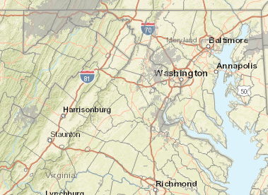
Local Forecast Graphics
|
| Drought Monitor | ||||
 |
||||
|
||||
Monthly & Seasonal Drought Outlook From the Climate Prediction Center |
||||
|
||||
|
|||||||||||||||||||||||||||||||


 Coastal Flood
 FAQ
FAQ