
A slow moving front will produce a threat for heavy rainfall and severe weather from New Mexico into the western High Plains through the weekend. Heavy rainfall is also expected this weekend in South Florida. The Bering Sea storm continues to bring heavy precipitation, strong winds, and minor to major coastal flooding through the weekend across western Alaska. Read More >
Midland/Odessa
Weather Forecast Office
 |
 |
 |
 |
 |
 |
 |
 |
 |
 |
 |
 |
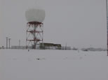
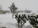
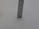
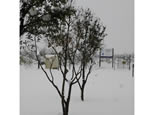
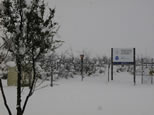
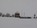
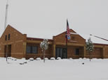
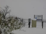
n December 11, 1998, 9.75" of snow was recorded at the Midland International Airport (location of the Midland/Odessa National Weather Service Office). This snowstorm brought the heaviest one day totals, and the most for the month of December ever recorded locally. The previous record amount of snow occurred on January 24, 1974 when 6.8" of snow fell, January 9 1955 with 5.9", and November 16 1980 with 5.7". The rainfall equivalent from this record snowfall was a very welcomed 0.50".
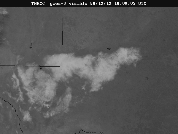 image courtesy of the TNRCC |
Clear skies over west Texas and southeast New Mexico on December 12th clearly showed the extent of the snowfall. This is a high resolution visible image from the TNRCC, showing the snow coverage at 1800Z or 12pm CST. This snow covered an area from west of the Interstate 10/20 junction (near the city of Kent, Texas) to the city of Jal, New Mexico. At both of these places, 11" was measured. The snow coverage extended northeast to just north of Andrews, to northeast of Big Spring. The snow coverage then went southwestward to between Garden City and Big Lake, to near Fort Stockton, to the northern Davis Mountains.
Hazards
Spotter Briefing
Outlook
Current Hazards
Storm Report
Severe Weather
Drought
Storm Prediction Center
Weather Prediction Center
National Hurricane Center
Active Alerts
Winter Weather
Past Weather
Cooperative Observations
Local Climate Data
National Climate
Current Weather
Observations
Satellite
Upper Air
West Texas Mesonet
Radar
Forecasts
Activity Planner
Aviation
Climate Prediction Center
Fire
Forecast Discussion
Graphical
Local
Space Weather Center
Information Center
Weather Trivia
Forecast Models
GIS
International Weather
Glossary
Road Conditions
Water
Hydrology
Precipitation Estimates
Quantitative Precipitation Forecasts

US Dept of Commerce
National Oceanic and Atmospheric Administration
National Weather Service
Midland/Odessa
2500 Challenger Dr.
Midland, TX 79706-2606
(432) 563-5006
Comments? Questions? Please Contact Us.


 Follow us on X
 Follow us on Facebook
 MAF RSS Feed