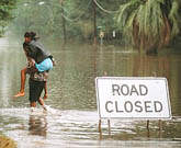
Widespread life-threatening flash and urban flooding will continue to pose a significant threat to life and property in south-central Texas. Catastrophic fiver flooding, with rapid rises on small streams, arroyos, and typically dry washes, is expected. Monsoonal showers persist across the Great Basin and Southwest with greatest flash flooding in southern Arizona. Read More >
| Today's Weather Impact Levels
(click on specific hazard for details) |
|||||||||||||||||||||||||||||||||||||||||||||||||||||||||||||||||||||||||||||||||
|
|||||||||||||||||||||||||||||||||||||||||||||||||||||||||||||||||||||||||||||||||
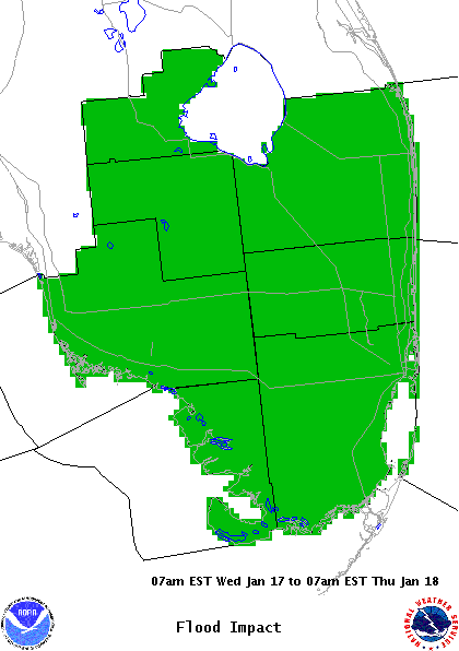
| Flood Hazard | |||||||||||||||
|
|||||||||||||||
| Flood Impact Statement |
For additional hazard information, view the full Hazardous Weather Outlook text. During a tropical cyclone situation, view the Hurricane Local Statement for additional hazard details.