| Today's Weather Impact Levels
(click on specific hazard for details) |
|||||||||||||||||||||||||||||||||||||||||||||||||||||||||||||||||||||||||||||||||
|
|||||||||||||||||||||||||||||||||||||||||||||||||||||||||||||||||||||||||||||||||
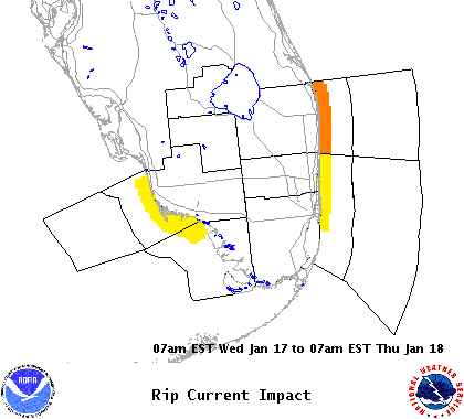
| Rip Current Hazard | |||||||||||||||
|
|||||||||||||||
| Rip Current Impact Statement |
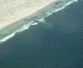
| Rip currents: There is a Moderate Risk Of Rip currents along the Atlantic beaches of South Florida. |
For additional hazard information, view the full Hazardous Weather Outlook text. During a tropical cyclone situation, view the Hurricane Local Statement for additional hazard details.