
Extremely critical fire weather conditions are expected to develop across the Great Basin and Southwest today, and exceptionally dry and windy conditions will promote rapid wildfire spread through the weekend. Scattered severe thunderstorms and heavy rain are possible across parts of the Ozark Plateau into lower Ohio Valley and parts of the northern Rockies into adjacent Great Plains. Read More >
Sign up for Jackson and Josephine County Phone Alerts here, including evacuation notices: https://member.everbridge.net/1332612387832182/login
Jackson County Evacuation notice maps: https://jacksoncountyor.org/emergency/News/Wildfires-Smoke/category/wildfires-in-jackson-county
Jackson County interactive evacuation maps: https://jcgis.maps.arcgis.com/apps/webappviewer/index.html?id=3caa39804db54631a61007180d5ef415
Oregon interactive evacuation maps: https://www.oregon.gov/oem/emops/Pages/RAPTOR.aspx
Air Quality Map for Southern Oregon and Northern California: https://tools.airfire.org/monitoring/v4/#!/?category=PM2.5_nowcast¢erlat=42.6178¢erlon=-122.6074&zoom=7
Oregon Dept of Environmental Quality Map: https://oraqi.deq.state.or.us/home/map
HRRR smoke model tutorial: https://www.weather.gov/mfr/HRRR_smoke_tutorial


 Precipitation Tracker
 Graphical Hazards Outlook
 RADAR and Satellite
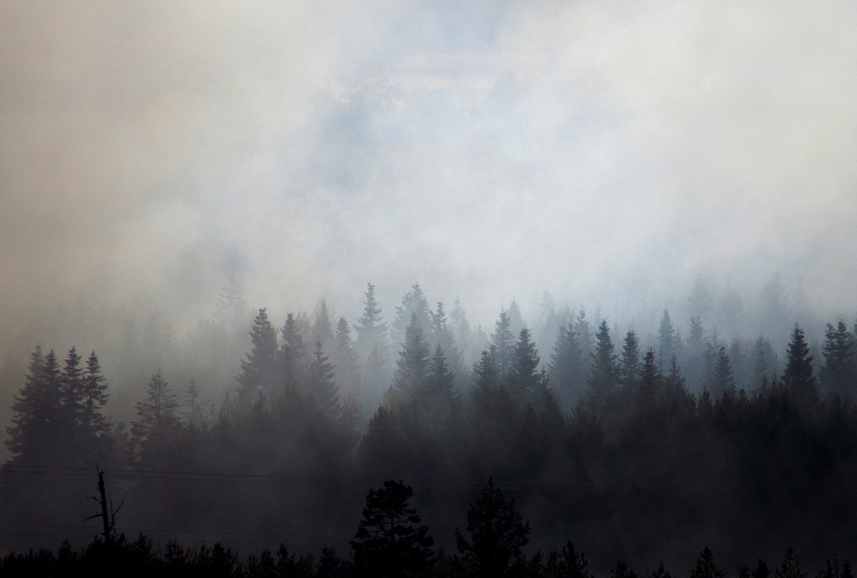 Wildfire Safety
 Forecast Discussion
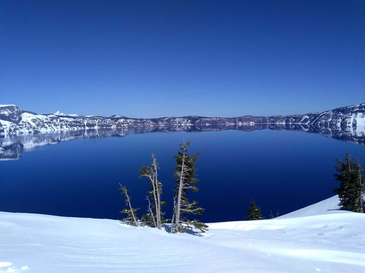 Snowfall and Depth With Crater Lake Details
 Avalanche Guidance
 NESDIS Geocolor
 Weather Map
 Marine
 GOES 18 Water Vapor Imagery
 Local Climate Data
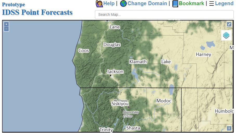 Alternate Point Forecast
 Smoke Forecast
 Weather Stats
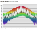 Year Charts
 Fire Weather