 |
 |
|
Forecast and Warning Definitions
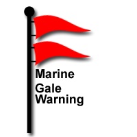
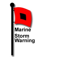
Lake Superior Forecasts for the open waters are issued four times daily throughout the year, at 4:00am, plus every six hours with intermediate updates as necessary. Nearshore Marine Forecasts are issued four times daily, at 5:00am plus every six hours with intermediate updates as necessary. Forecast wave heights are for the average of the highest third of the waves at the end of the fetch in the forecast area. Wind directions and speeds are forecast for roughly 33 feet above the lake surface. Marine warnings and advisories are headlined within marine forecasts:
|
||
| Credits | Disclaimer | |
||


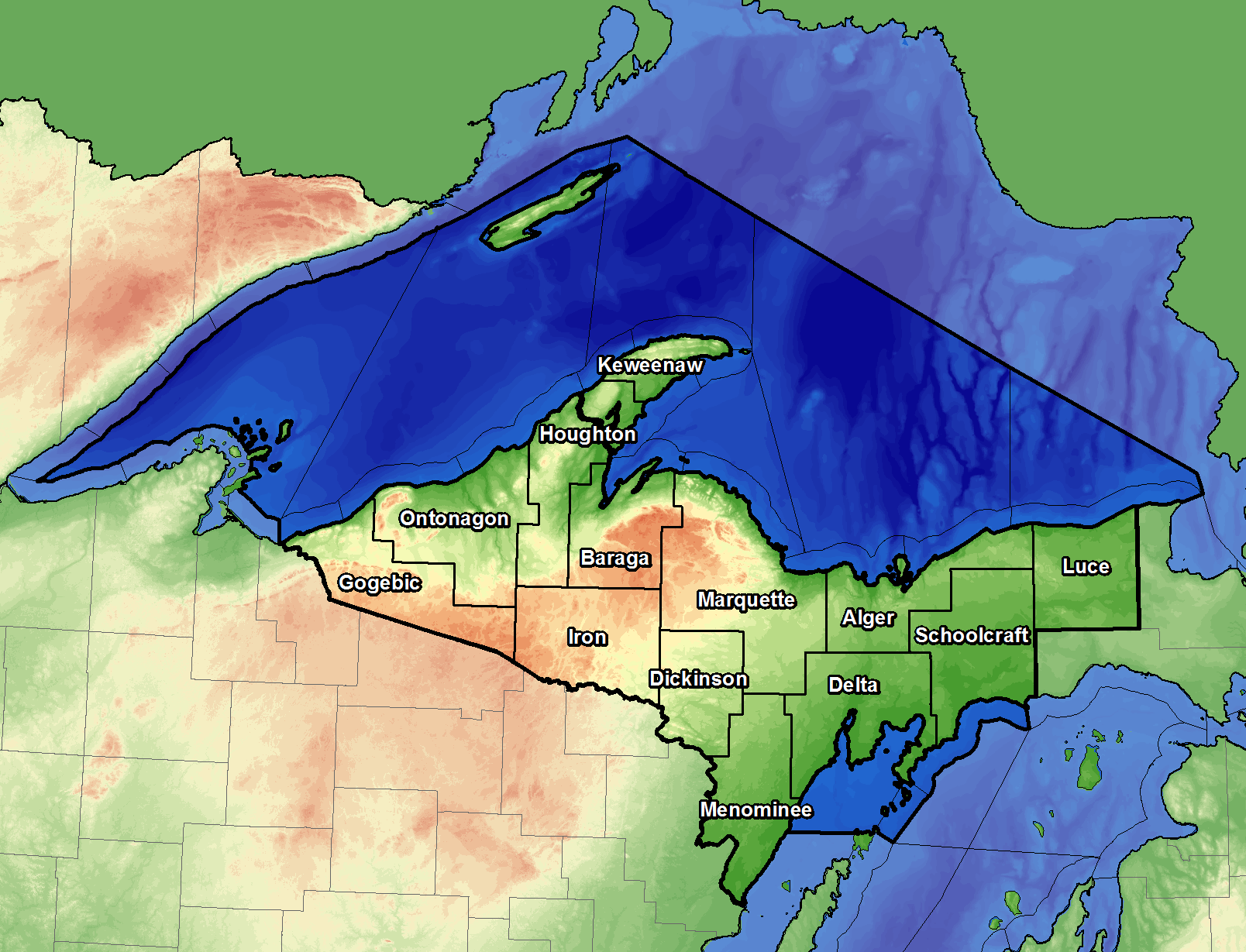 The National Weather Service issues forecasts and warnings for the U.S. open waters (waters beyond five nautical miles from shore) and for the nearshore waters (waters within five nautical miles from shore) of the Great Lakes - darker shaded areas in image to the left.