|
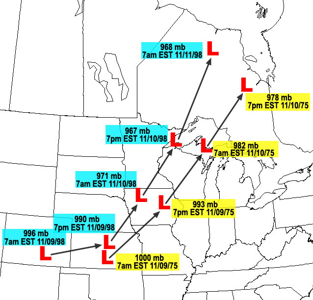
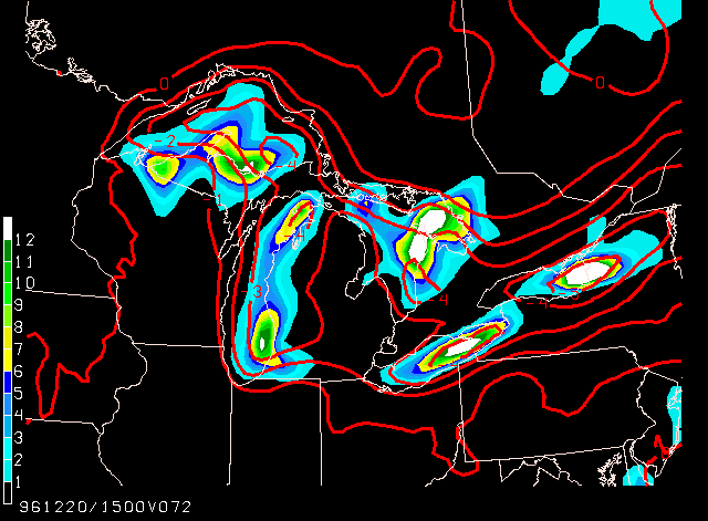
| Comparison of the 1975 and 1998 storms |
|
Image created by Don Rolfson, National Weather Service Marquette |
|
| |
|
|
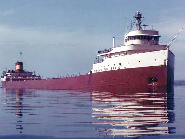
| The Edmund Fitzgerald, May 1975 |
|
May 1975 - St. Mary's River
Photo by Bob Campbell, Grand Ledge, MI
|
|
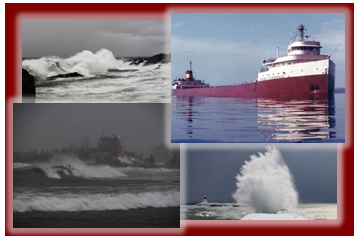
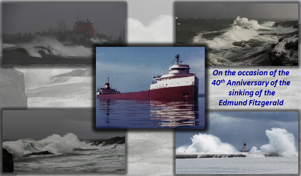
| Four photo image (banner) |
|
Image created by Don Rolfson, National Weather Service Marquette |
| |
| Component Photographs: |
| |
Edmund Fitzgerald-- |
May 1975 - St. Mary's River
Photo by Bob Campbell, Grand Ledge, MI |
| |
Crashing waves-- |
Don Rolfson, National Weather Service Marquette |
|
|
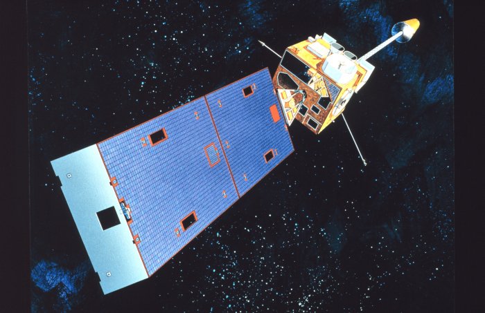
| Geostationary Operational Environmental Satellites (GOES) |
|
Image courtesy of the NOAA Photo Library |
|
| Influence of the Great Lakes on weather patterns |
|
Image courtesy of Dr. Greg Mann, National Weather Service Detroit/Pontiac |
|
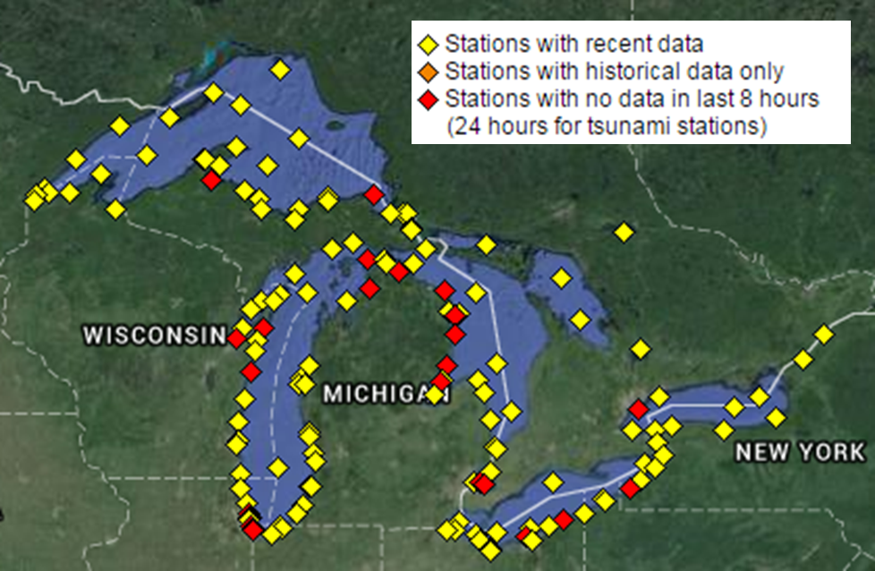
| Map of buoy and C-MAN observation sites across the Great Lakes |
|
Image courtesy of the NWS Marquette and National Data Buoy Center |
|
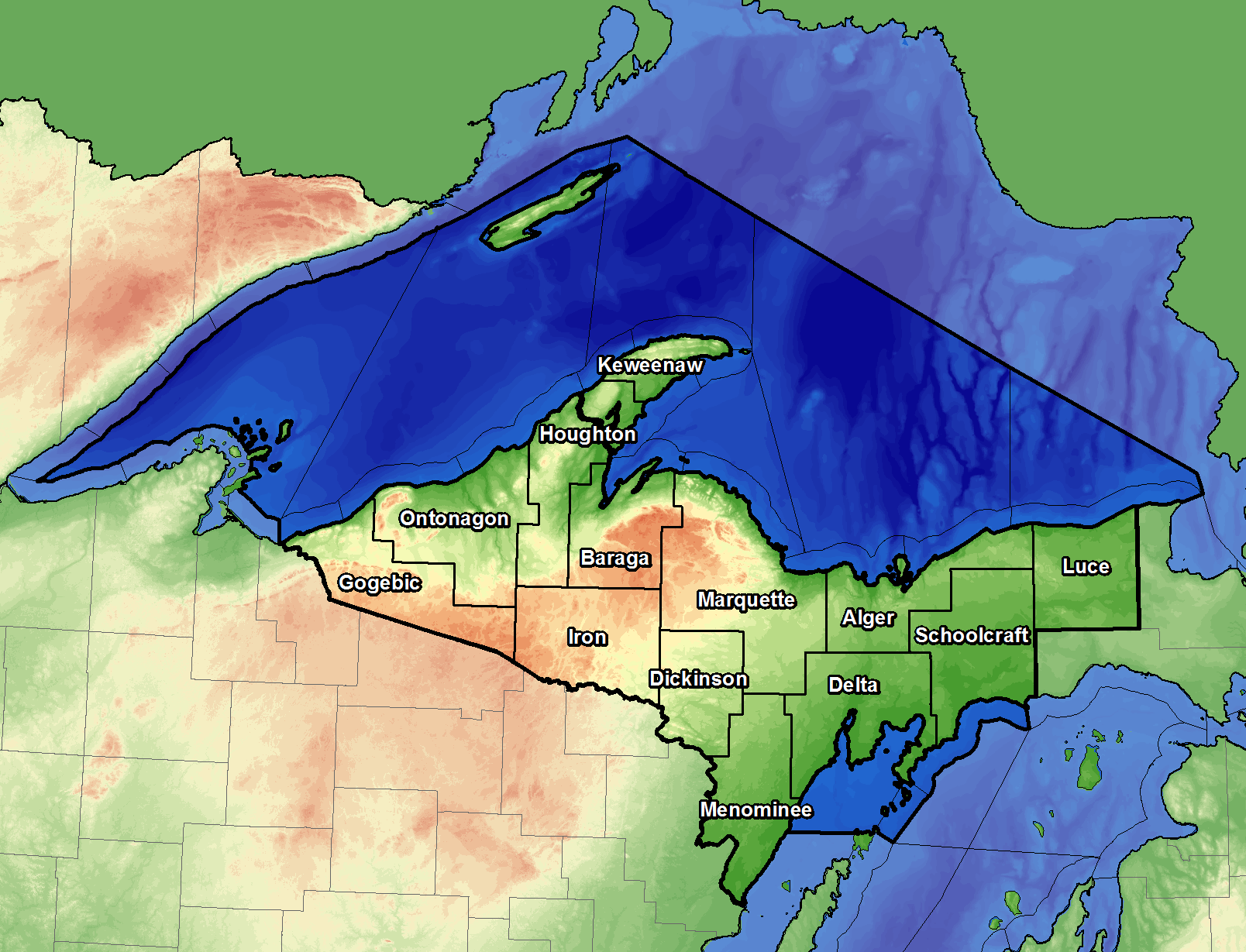
| NWS Marquette marine responsibility |
|
Image created by Todd Kluber, National Weather Service Marquette |
|
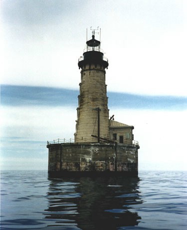
| Stannard Rock C-MAN site |
|
Image courtesy of the National Data Buoy Center |
|
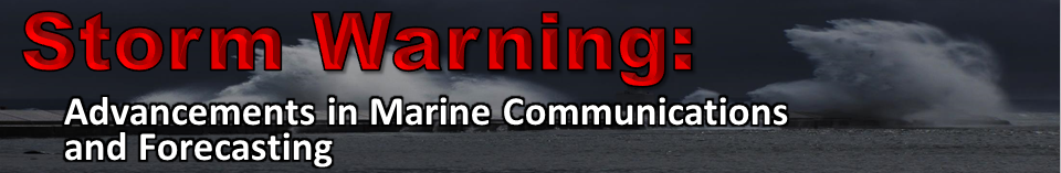
| Storm Warning: Advancements in Marine Communications and Forecasting (title) |
|
Image created by Don Rolfson, National Weather Service Marquette |
| |
| Component Photographs: |
| |
Edmund Fitzgerald-- |
May 1975 - St. Mary's River
Photo by Bob Campbell, Grand Ledge, MI |
| |
Crashing waves-- |
Don Rolfson, National Weather Service Marquette |
|
|
| Storm Warning: Advancements in Marine Communications and Forecasting (banner) |
|
Image created by Don Rolfson, National Weather Service Marquette |
| |
| Component Photograph: |
| |
Crashing waves-- |
Don Rolfson, National Weather Service Marquette |
|
|
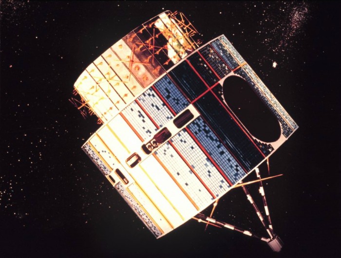
| Synchronous Meteorological Satellite (SMS) |
|
Image courtesy of the NOAA Photo Library |
|
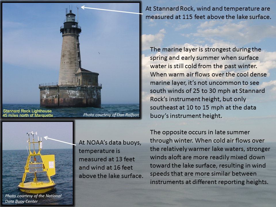
| Understanding the Marine Layer |
|
Image created by Don Rolfson, National Weather Service Marquette |
|
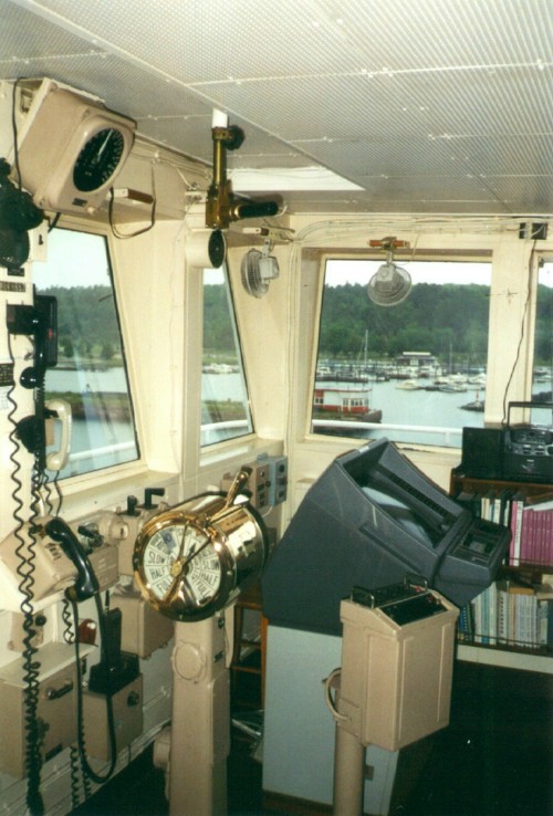
| View of the bridge aboard the Lee A. Tregurtha |
|
Photo courtesy of Jason Alumbaugh, National Weather Service Marquette |
|
| |
|
|

