
Active spring pattern across the center of the nation with several rounds of severe thunderstorms in the forecast through the weekend. The regions under the greatest threats are the southern Plains into the Mississippi Valley. Meanwhile, dry and breezy conditions with dry fuels are aiding in wildfires across the western High Plains and the Southeast. Wind and some snow for northern Rockies. Read More >
Overview
This page provides a variety of information related to ice jam monitoring in eastern Nebraska, including river levels, snow pack information as well as weather forecasting information.
Platte River cameras (from USGS HIVIS)
Duncan USGS camera 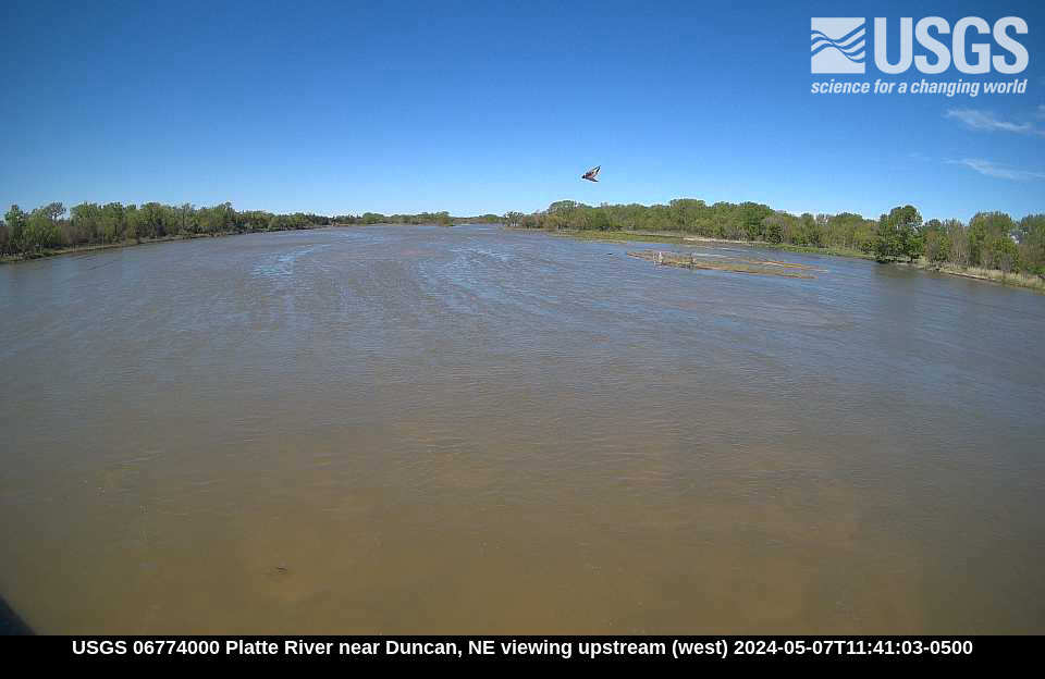 |
|
Columbus USGS camera 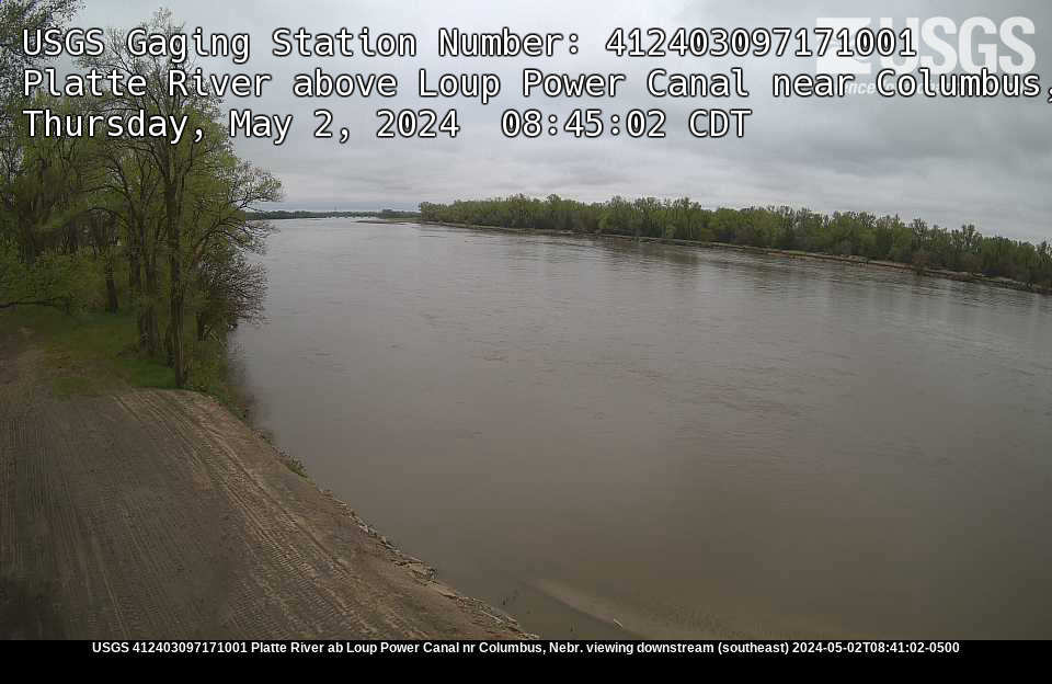 |
Schuyler USGS camera 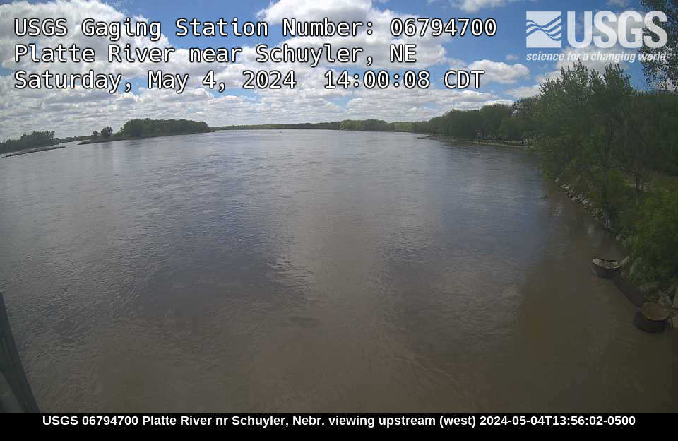 |
North Bend USGS camera 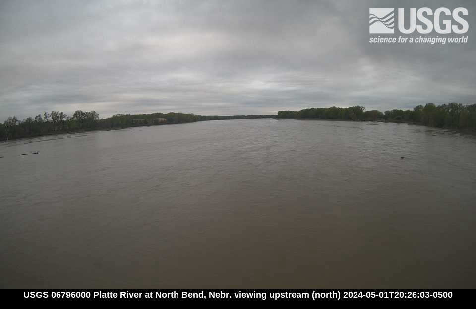 |
Fremont USGS camera 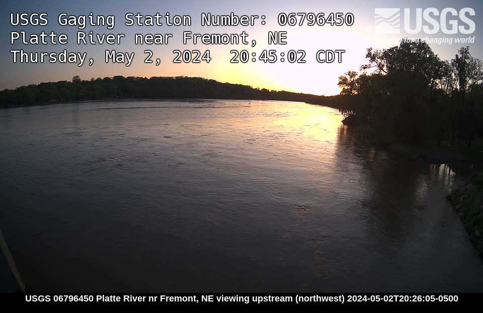 |
Leshara USGS camera 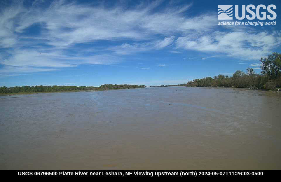 |
Ashland USGS camera 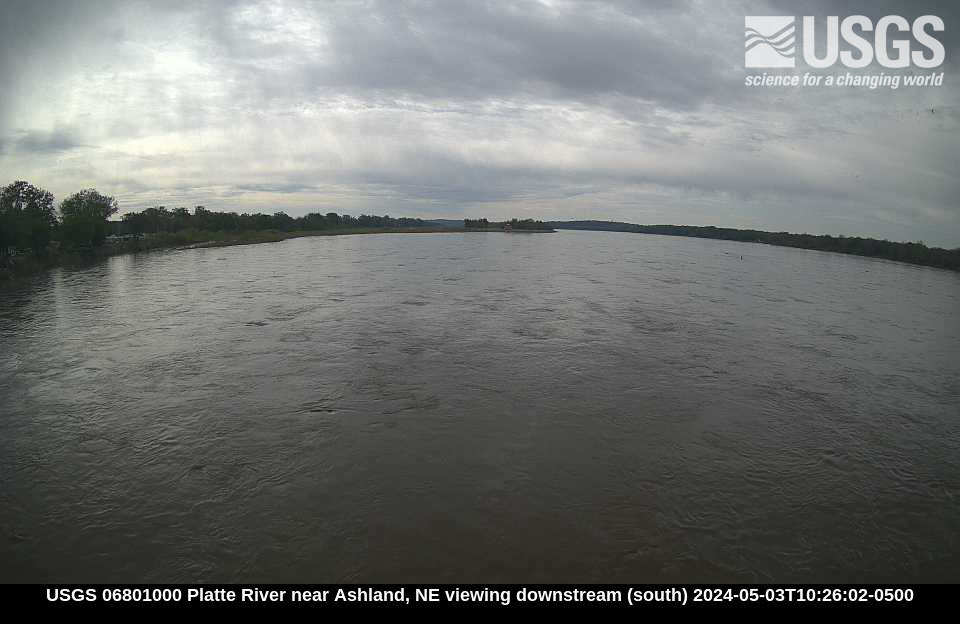 |
Louisville USGS camera 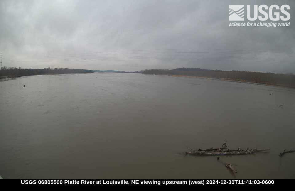 |
Elkhorn River cameras (from USGS HIVIS)
|
|
|
|
|
Loup River at Columbus (from DWEE)
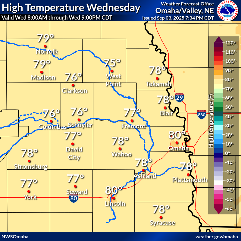
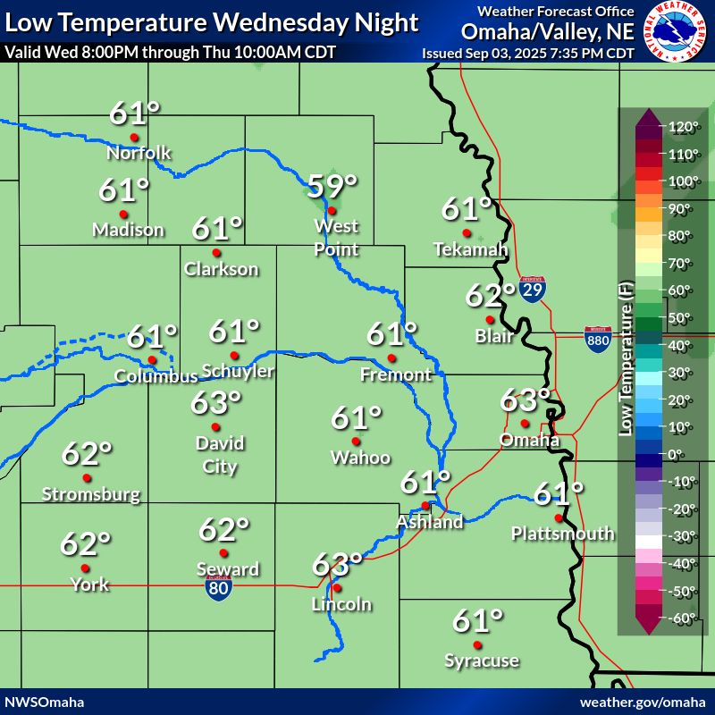
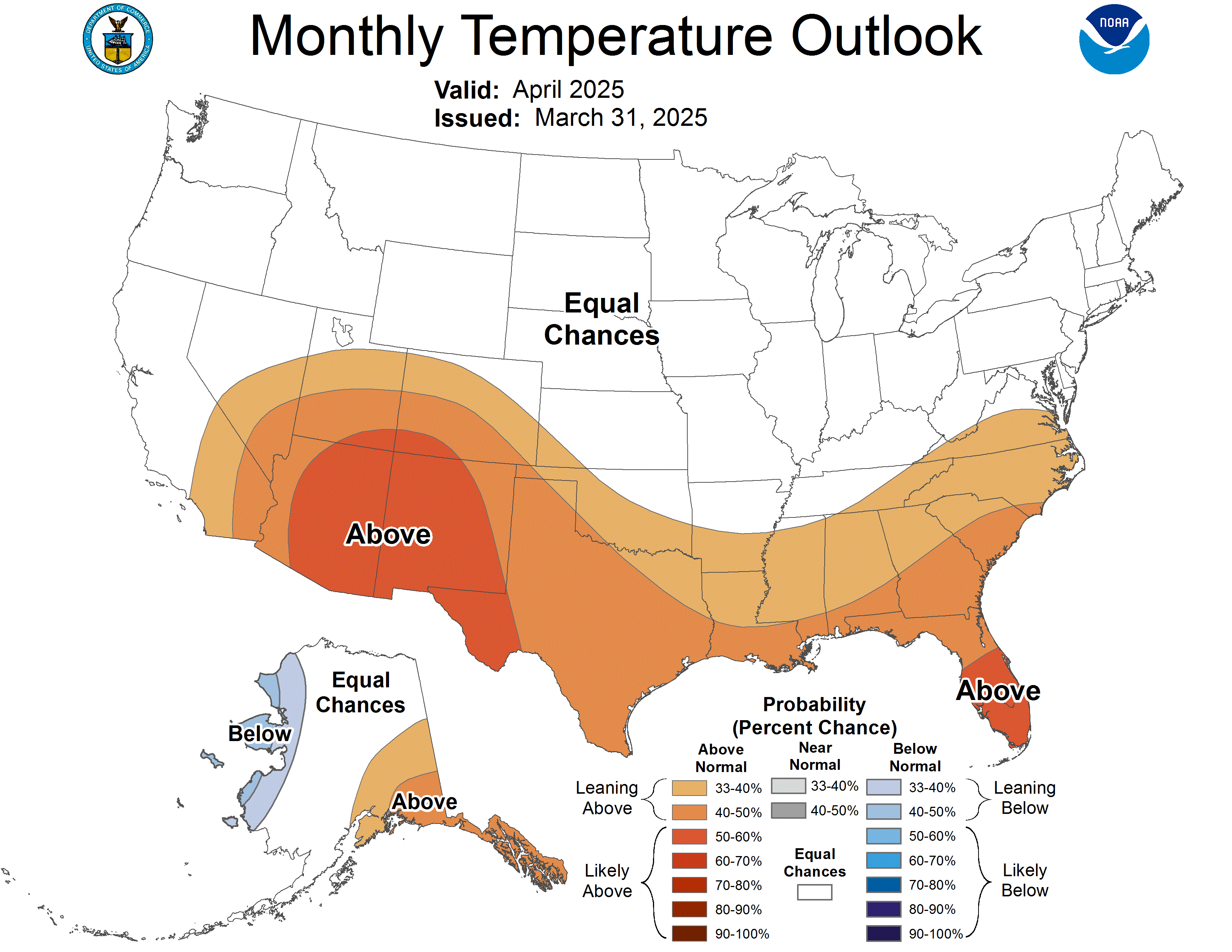
Temperature Outlook
Click Images to Enlarge
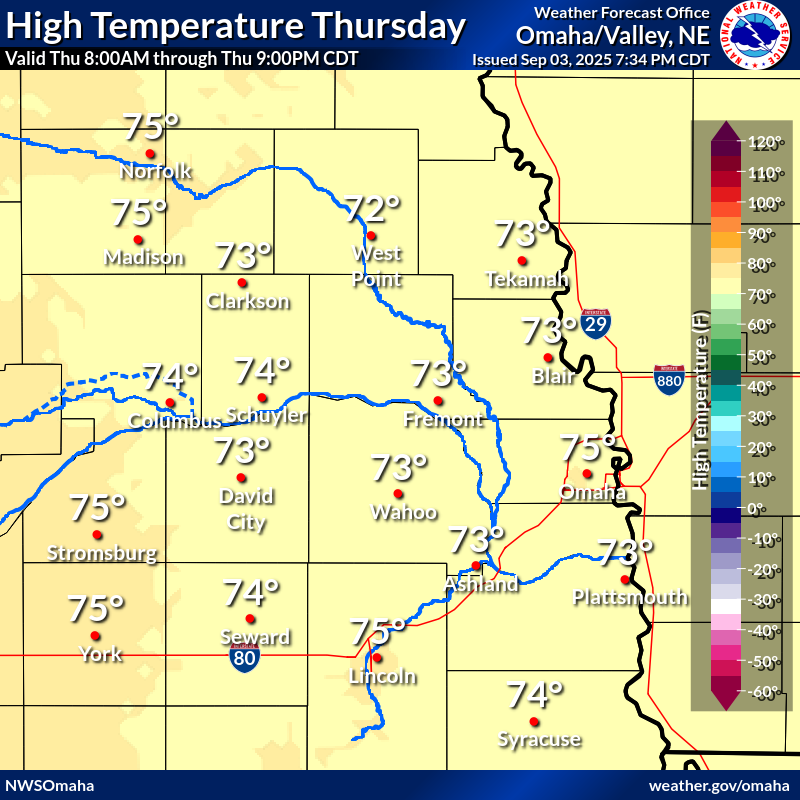 |
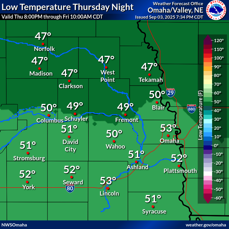 |
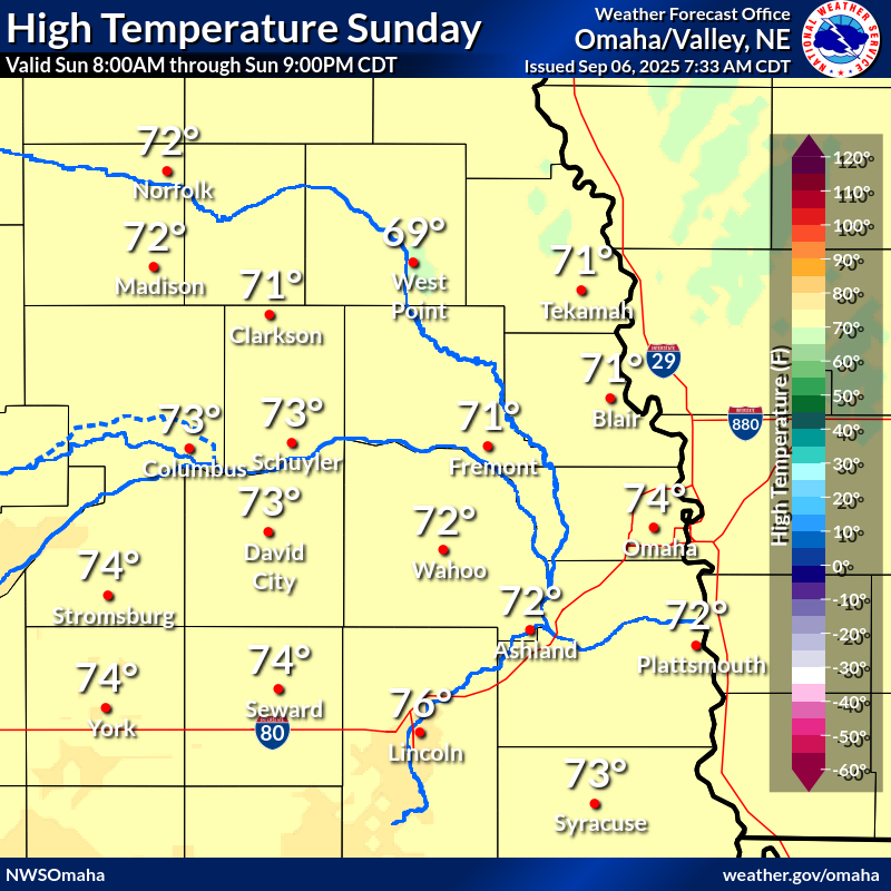 |
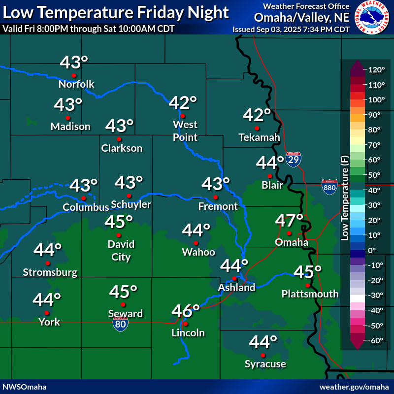 |
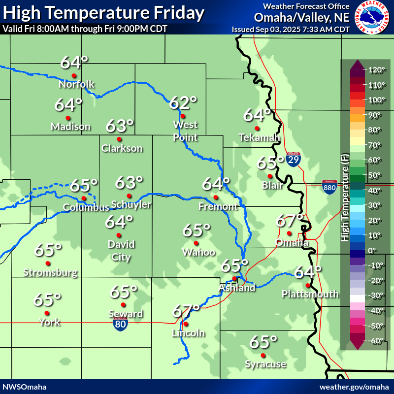 |
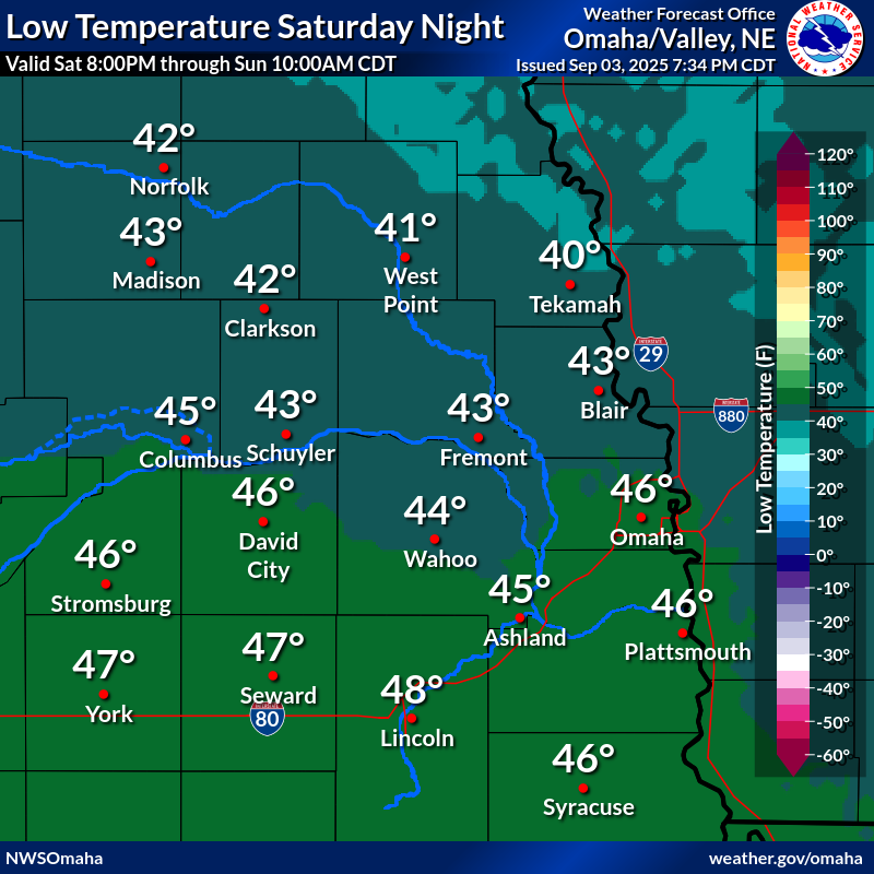 |
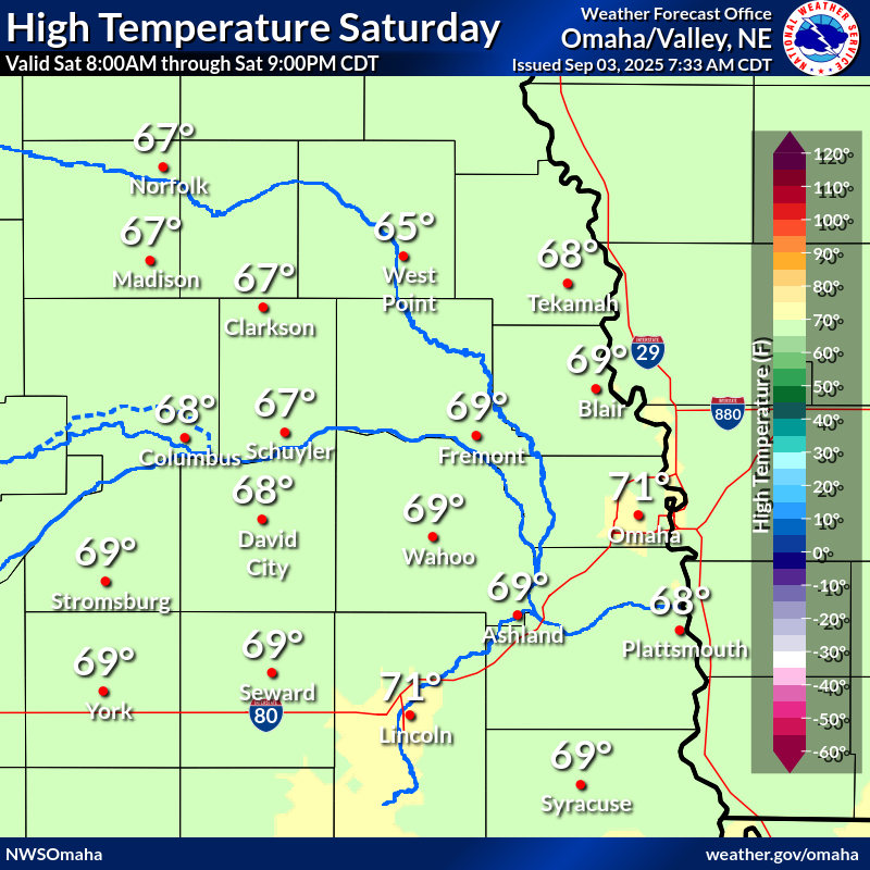 |
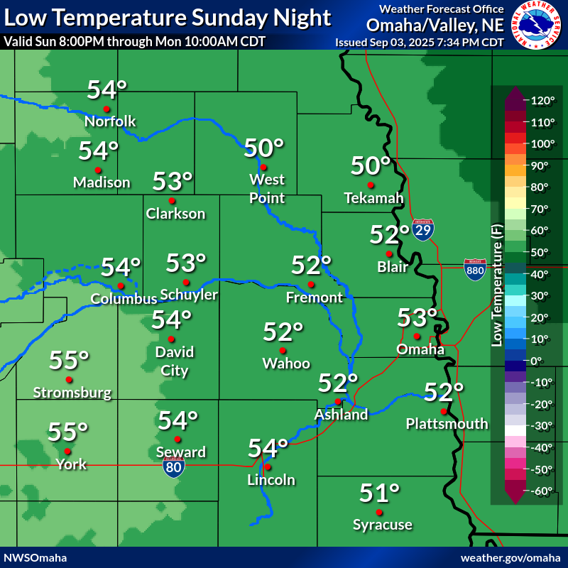 |
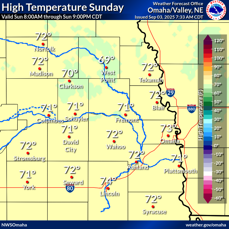 |
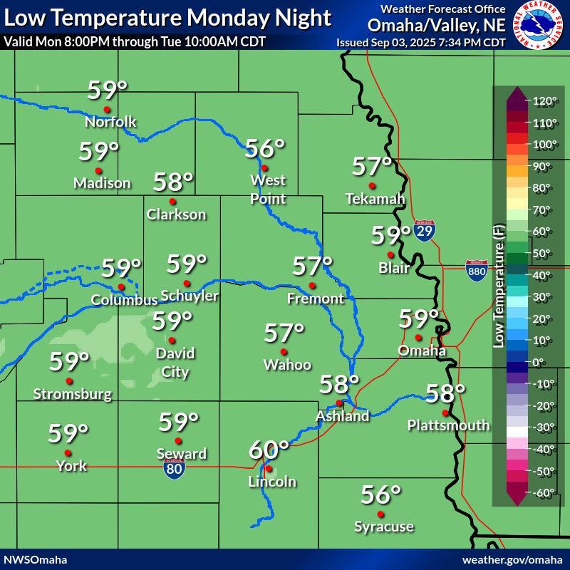 |
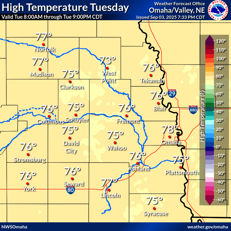 |
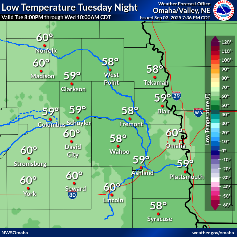 |
 |
 |
 |
 |
 |
 |
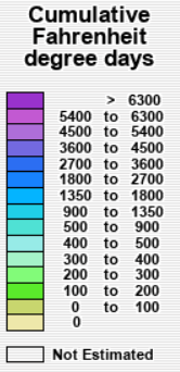
| Accumulated Freezing Degree Days | |
 |
|
Precipitation Outlook:
Click Images to Enlarge
| Past 24 hours of Precipitation (Observed) | Past 7 days of Precipitation (Observed) |
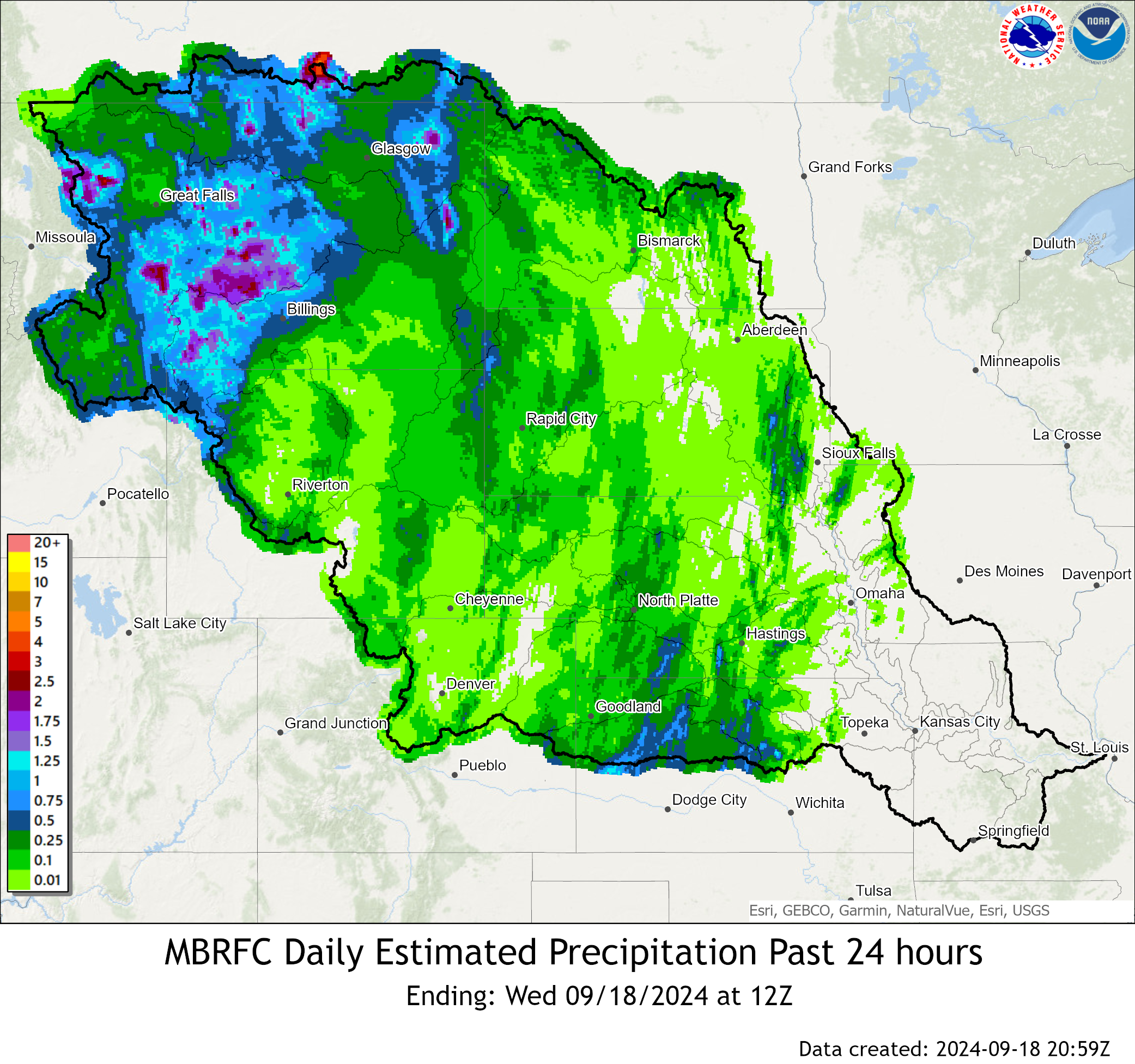 |
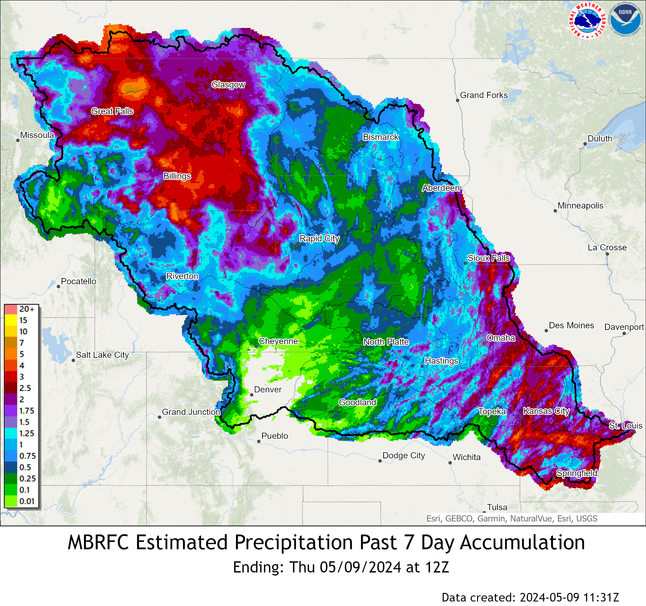 |
| Expected Accumulation the next 24 hours | Expected Accumulation the next 48 hours |
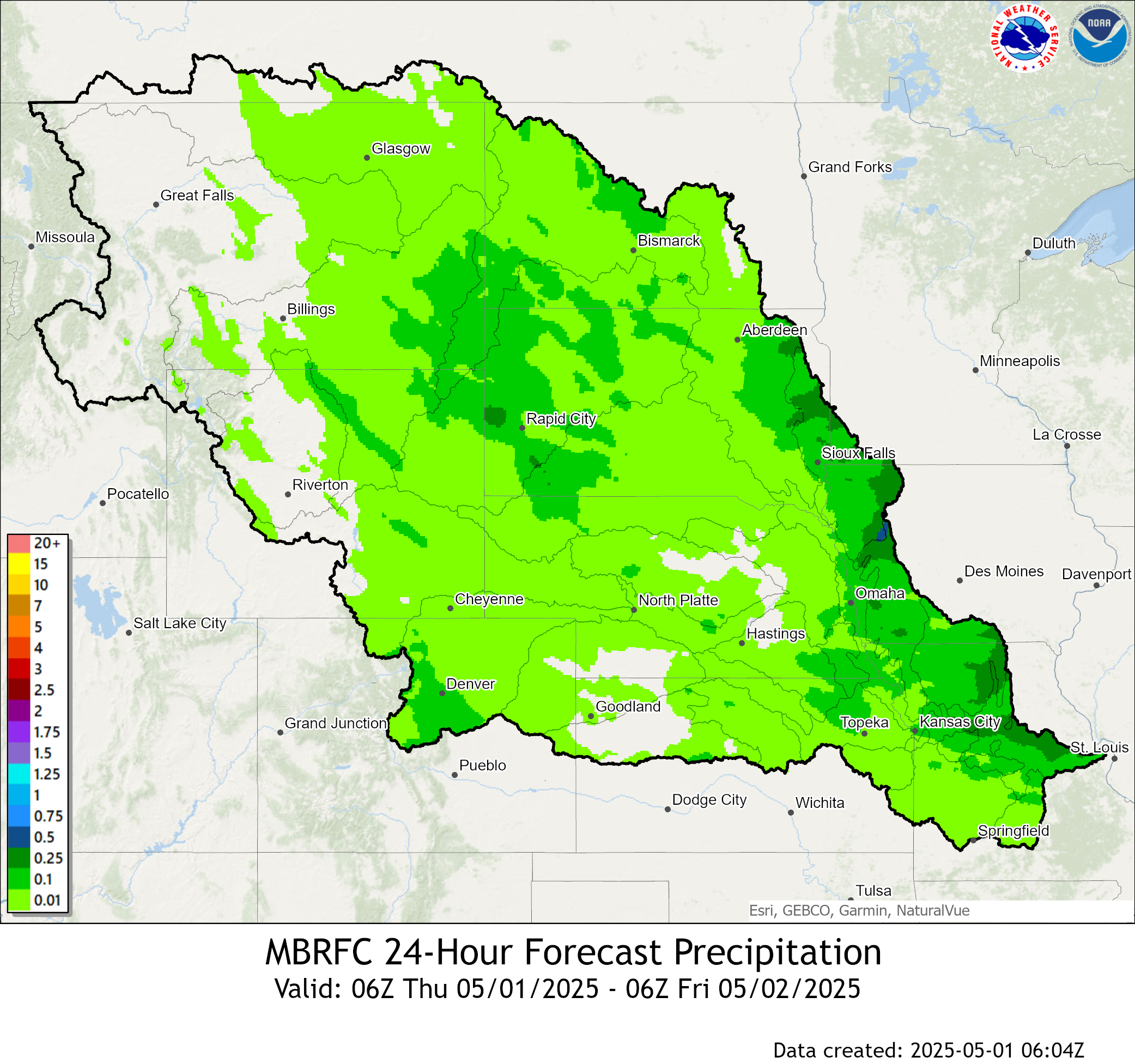 |
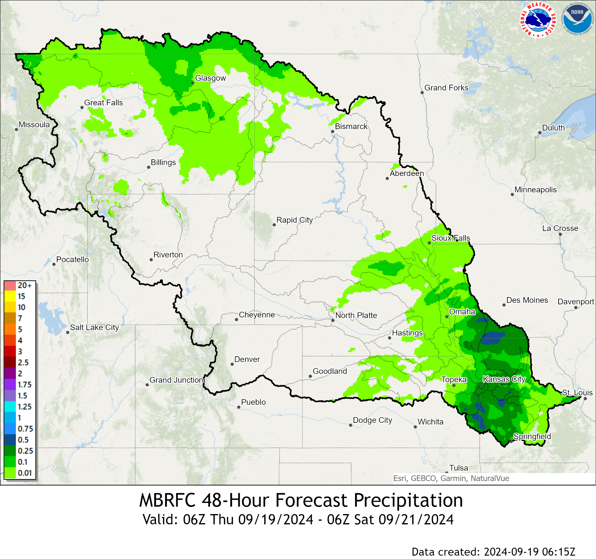 |
| Expected Accumulation the next 72 hours | Expected Accumulation the next 7 days |
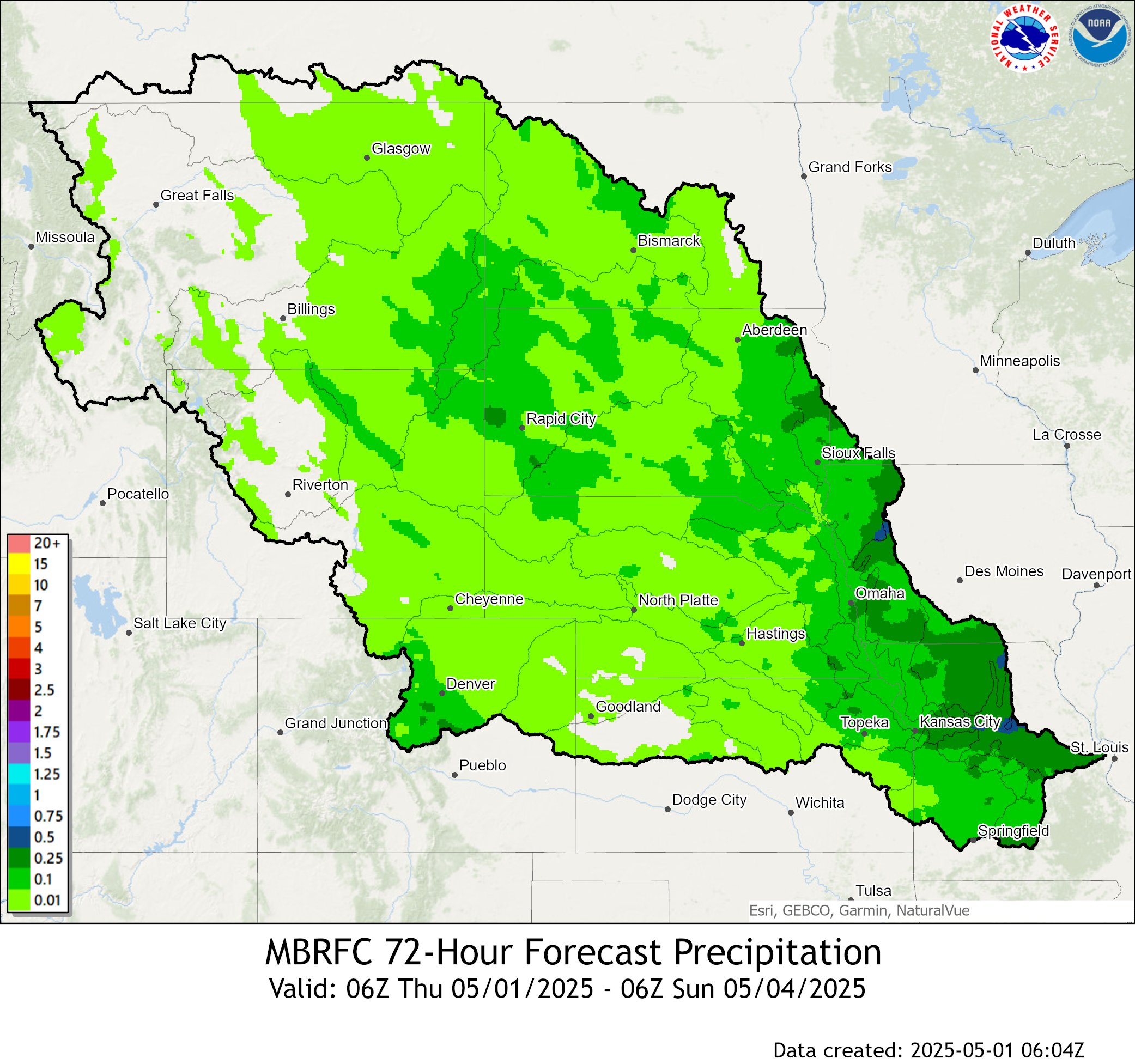 |
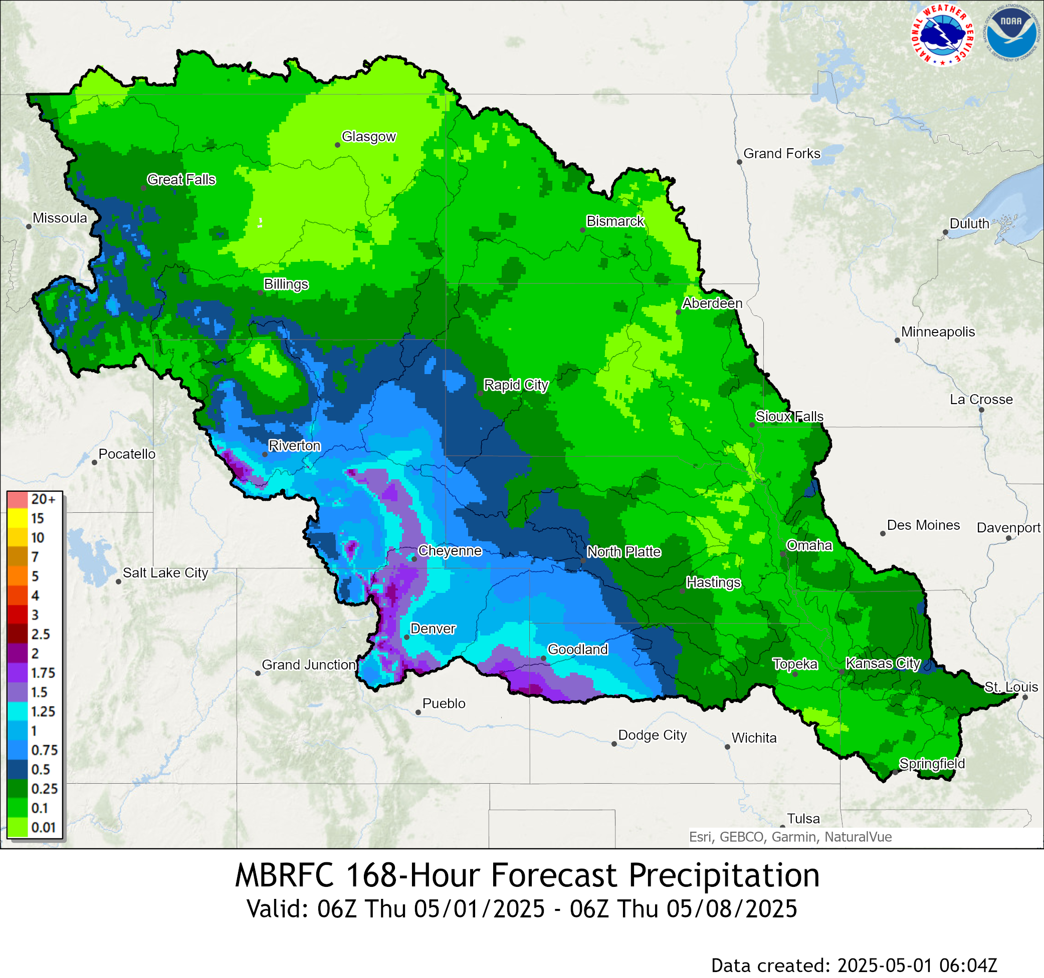 |
| 6 to 10 Day Precipitation Outlook | 8 to 14 Day Precipitation Outlook |
 |
 |
| 3-4 Week Precipitation Outlook | One Month Precipitation Outlook |
 |
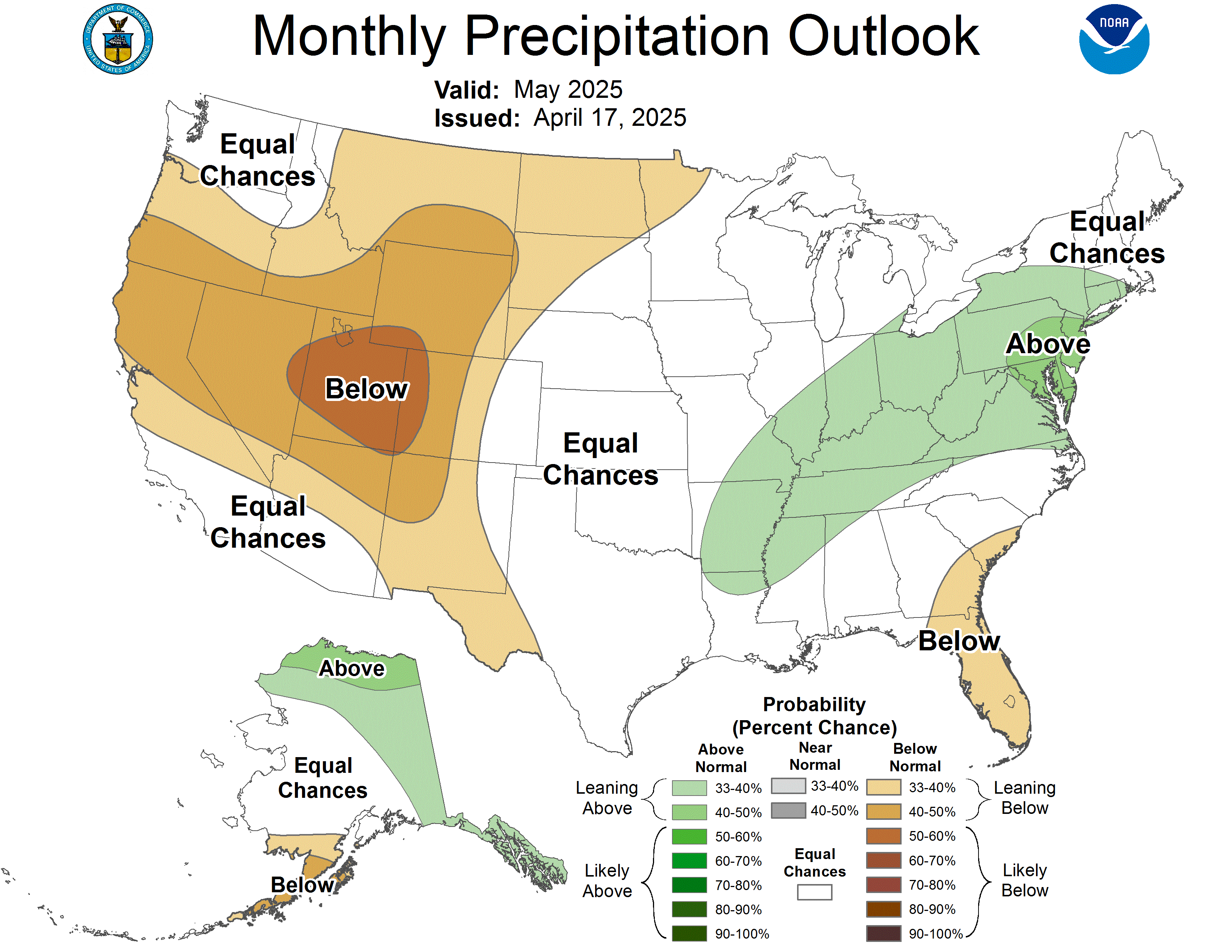 |
|
|
|
Snow Information
Click Images to Enlarge
|
Snow Depth
|
|
Snow Water Equivalent
|
Elkhorn River Hydrographs
| Ewing | Neligh |
|
|
|
| Tilden | Norfolk |
|
|
|
| Pilger | West Point |
|
|
|
| Winslow | Waterloo |
|
|
|
Lower Platte River Hydrographs
| Duncan | Schuyler |
|
|
|
| North Bend | Fremont |
|
|
|
| Leshara | Venice |
|
|
|
| Ashland | Louisville |
|
|
|
| La Platte | |
|
|
Loup River/Canal Hydrographs
| St. Paul (North Loup) | St. Paul (South Loup) |
|
|
|
| Genoa | Columbus |
|
|
|
| Loup Canal (inlet/headworks) | Loup Canal (outlet/tailrace) |
|
|
|
 |
Media use of NWS Web News Stories is encouraged! Please acknowledge the NWS as the source of any news information accessed from this site. |
 |