Scattered thunderstorms with severe gusts, hail and a tornado risk are possible near a cold front from the Ohio Valley to the Mid-Atlantic tonight. Tropical Storm Bertha is expected to bring tropical storm conditions to portions of the Gulf Coast from the panhandle of Florida into Louisiana through Wednesday. Read More >
|
Decision Support Page |
| Click anywhere on the map for the forecast. Turn the various weather parameters "on and off" using the display options. Hover over a highlighted area to see the hazard. |
Map Display Options |
|
Latest Conditions Storm Reports Latest Weather Packet Hazardous Weather Outlook (Text) Hazardous Weather Outlook (Graphical) |
|
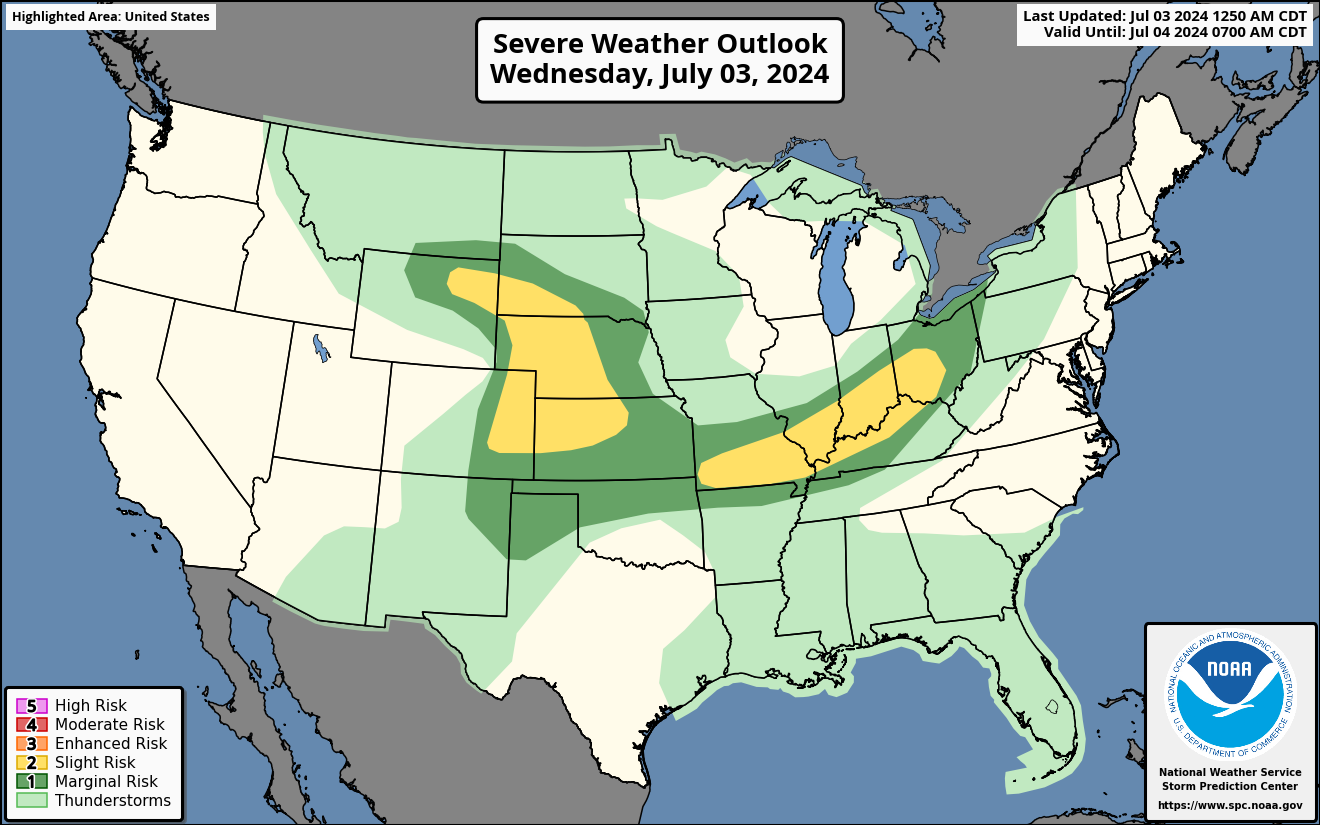
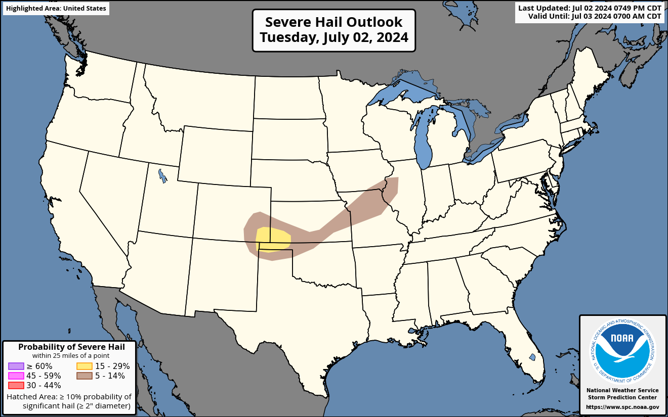
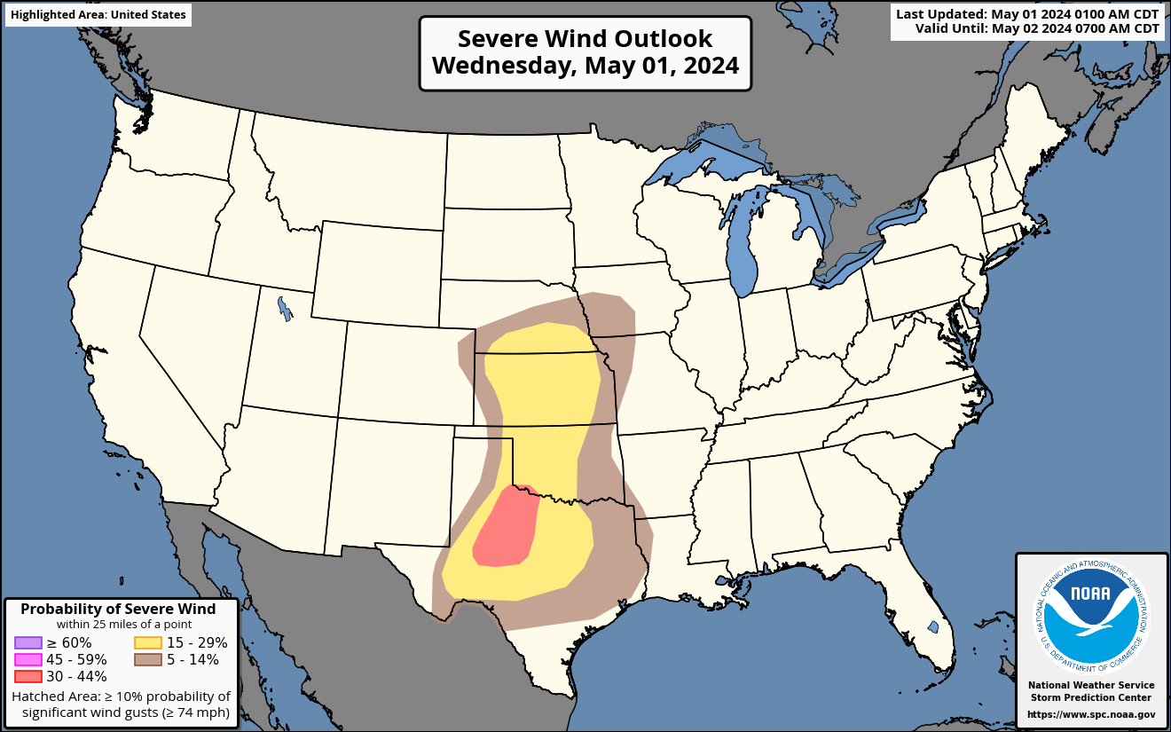
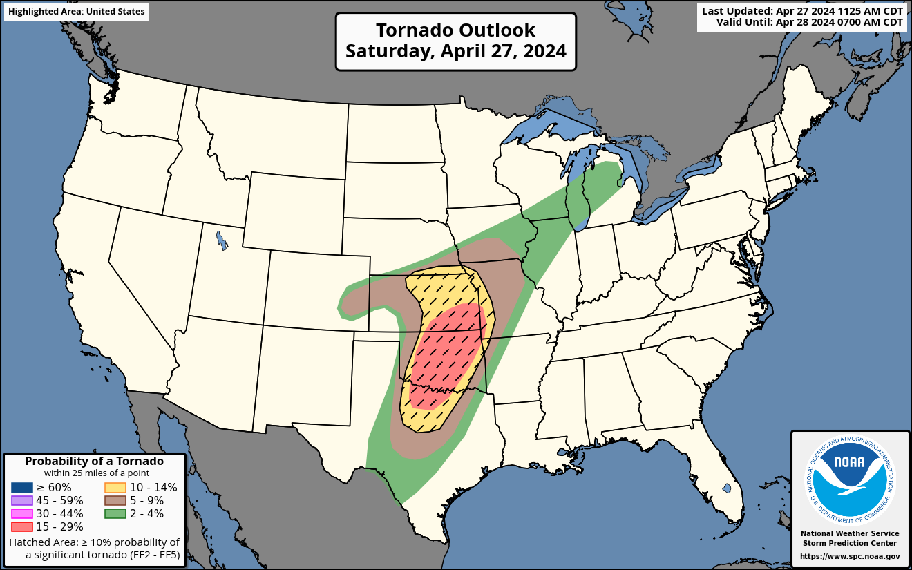
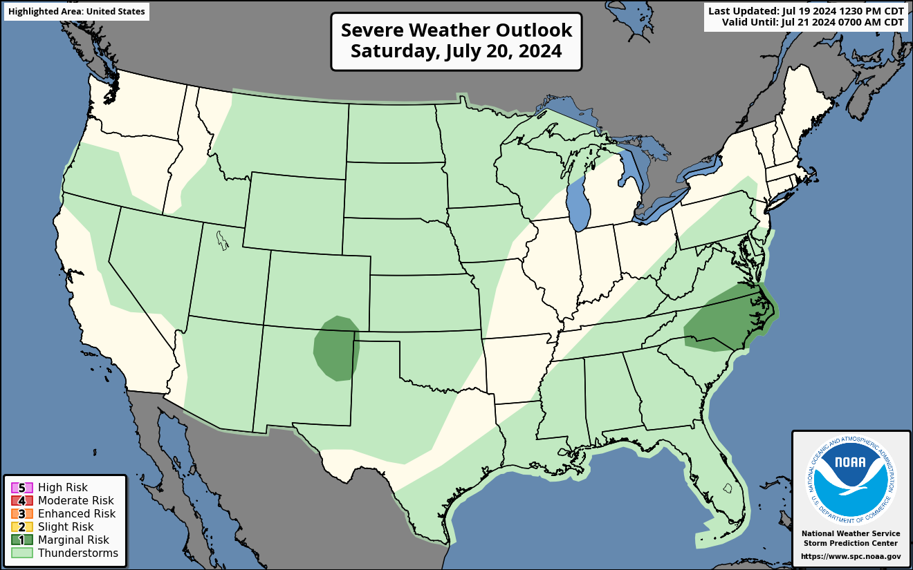
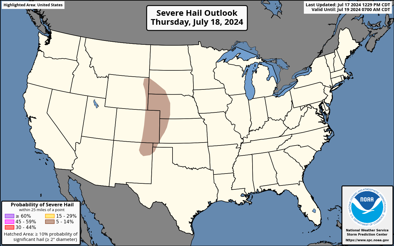
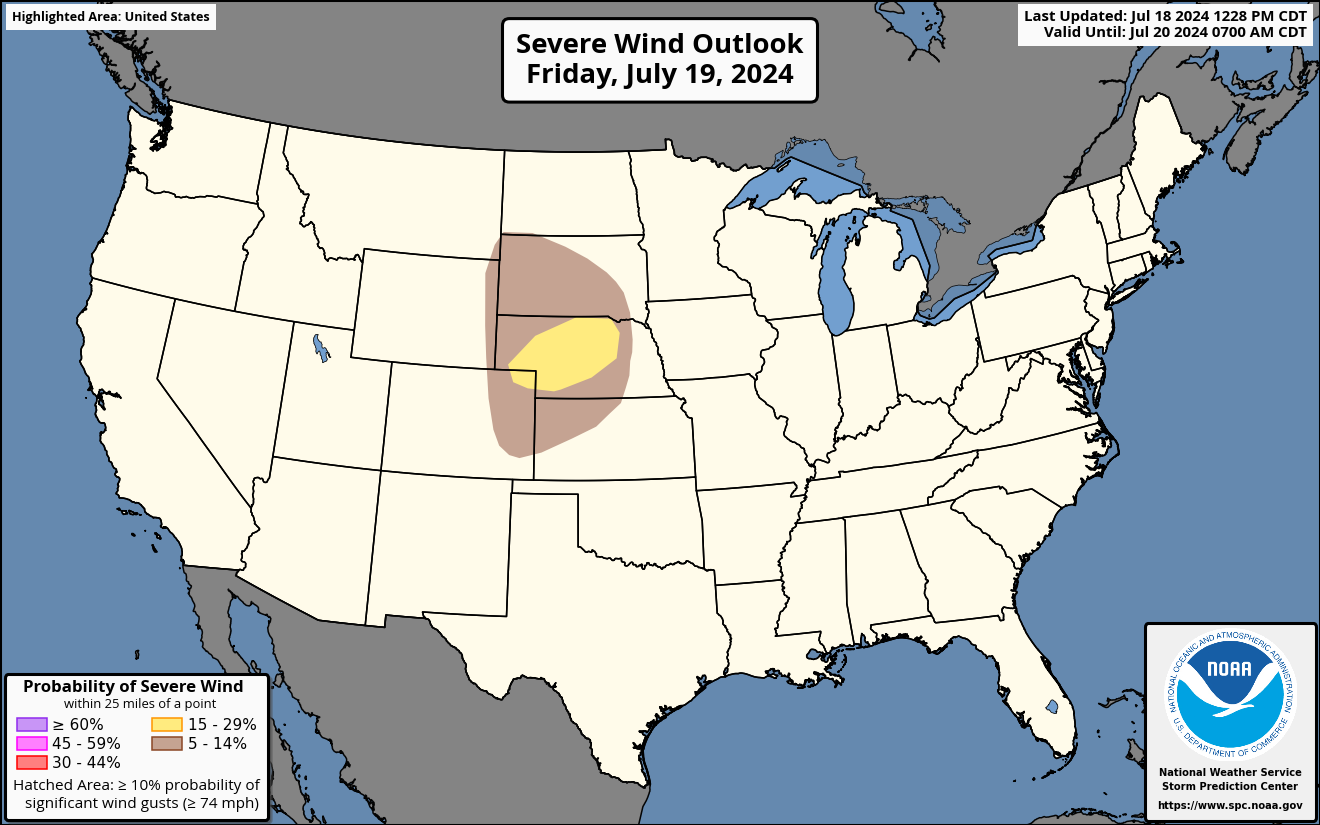
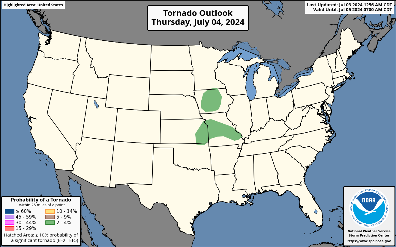
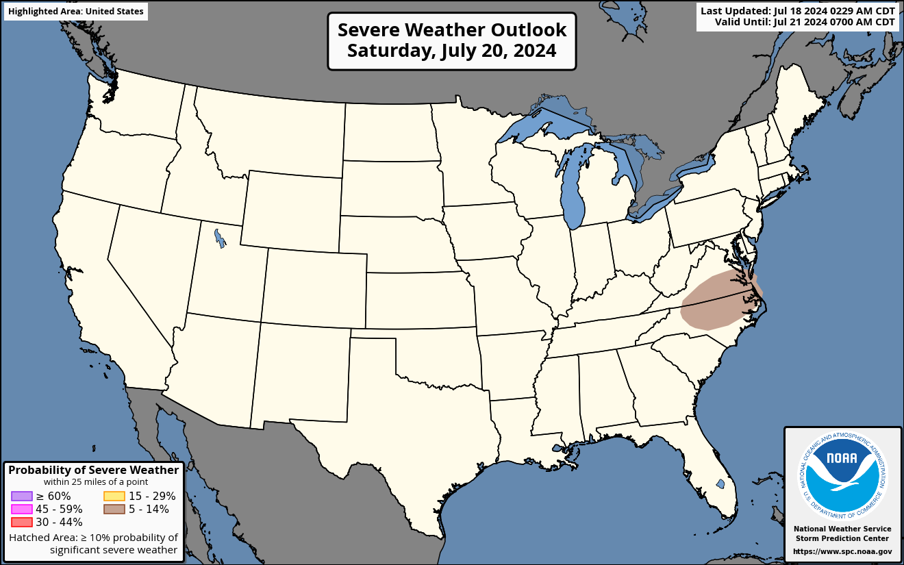
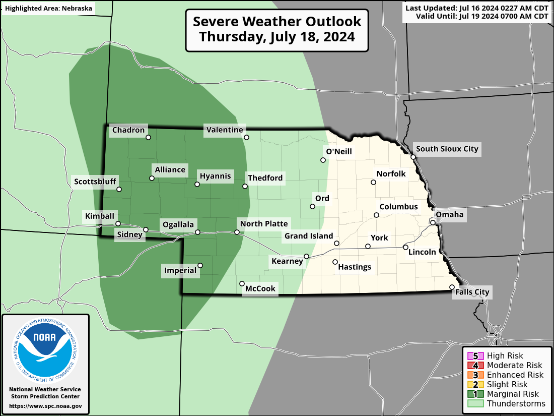
National Severe Weather Outlooks (Explanation of Risk Categories)
| Today / Tonight | Tomorrow / Tomorrow Night | Day 3 | Days 4-8 | ||||||||||||||||||||
|
|
|
 |
||||||||||||||||||||
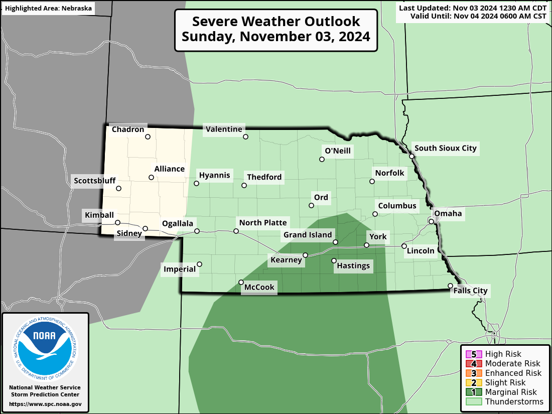
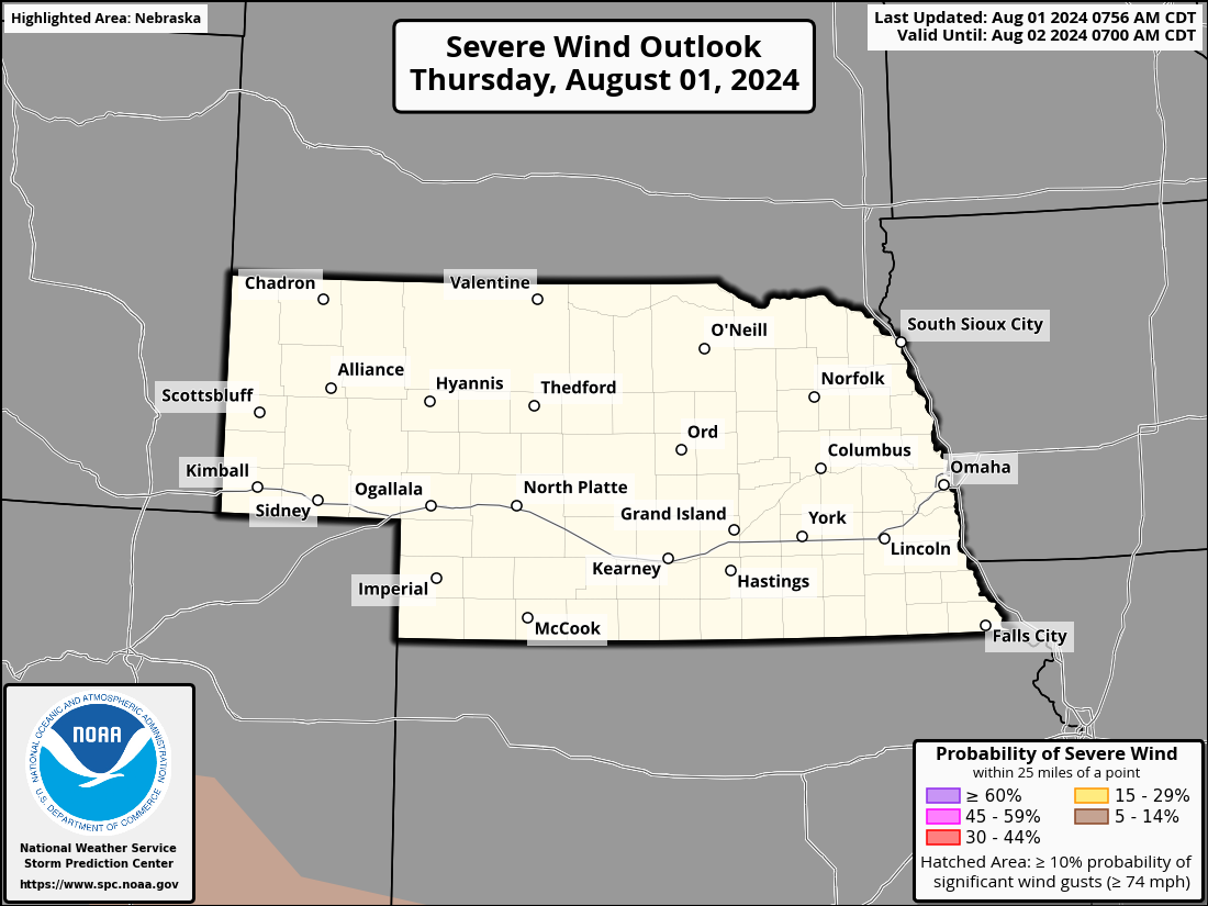
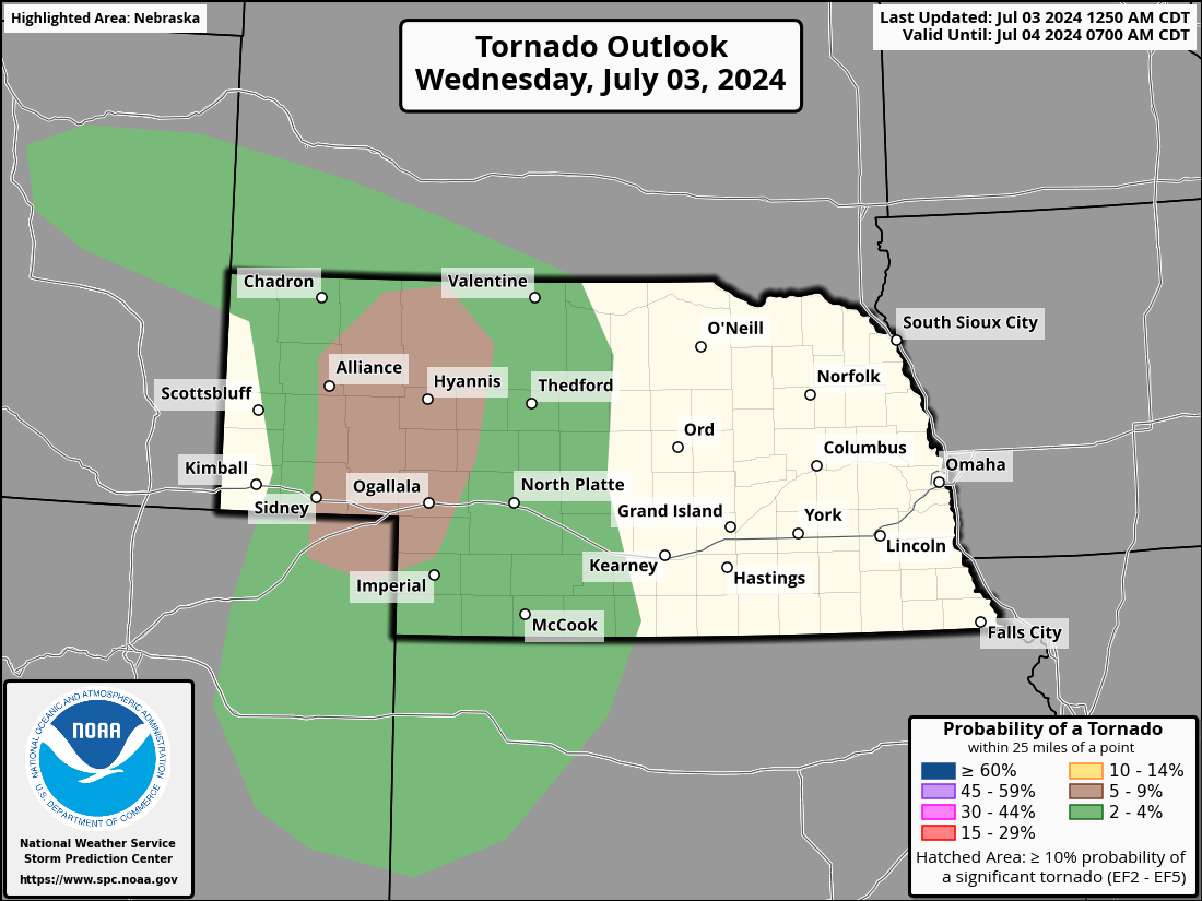
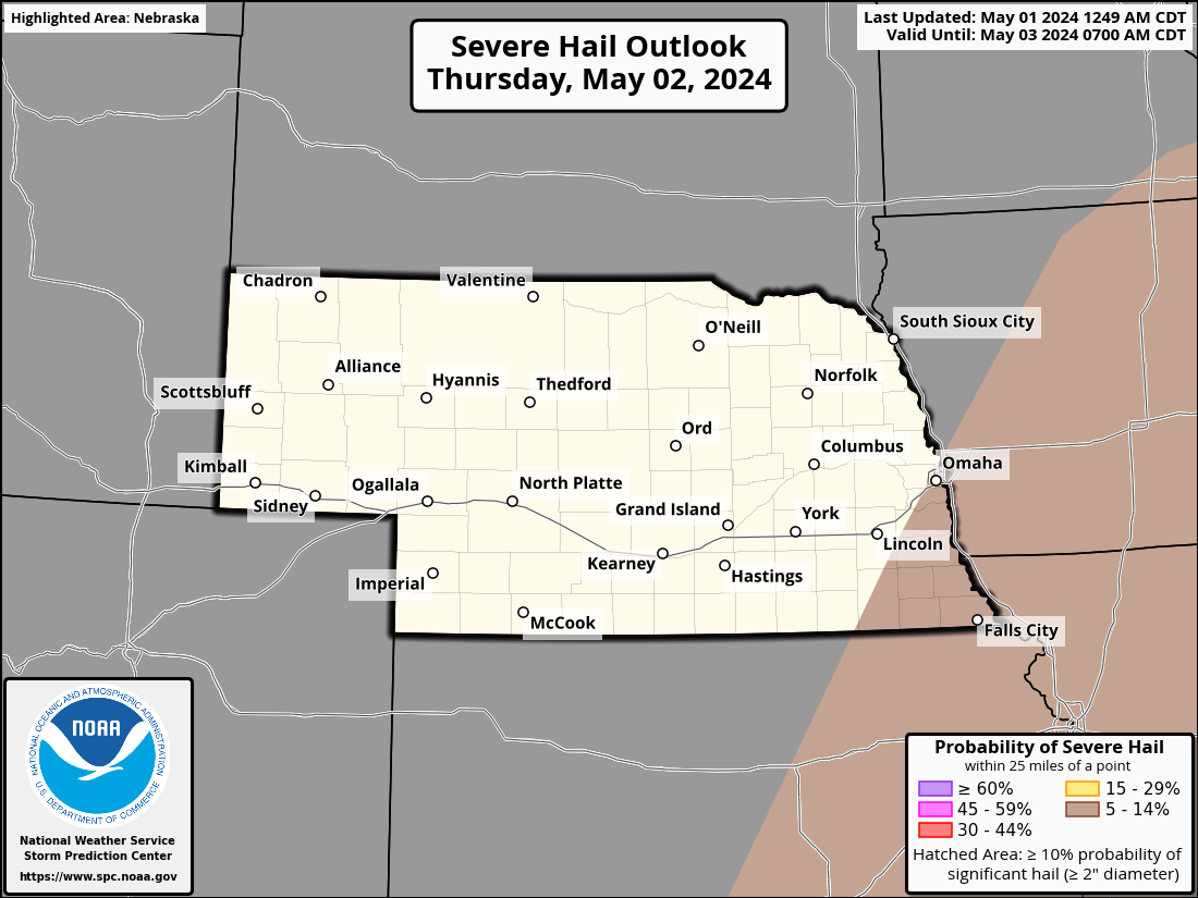
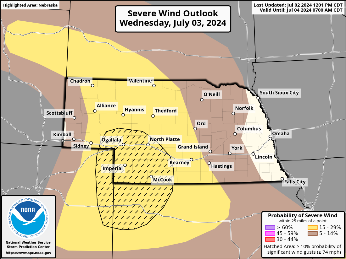
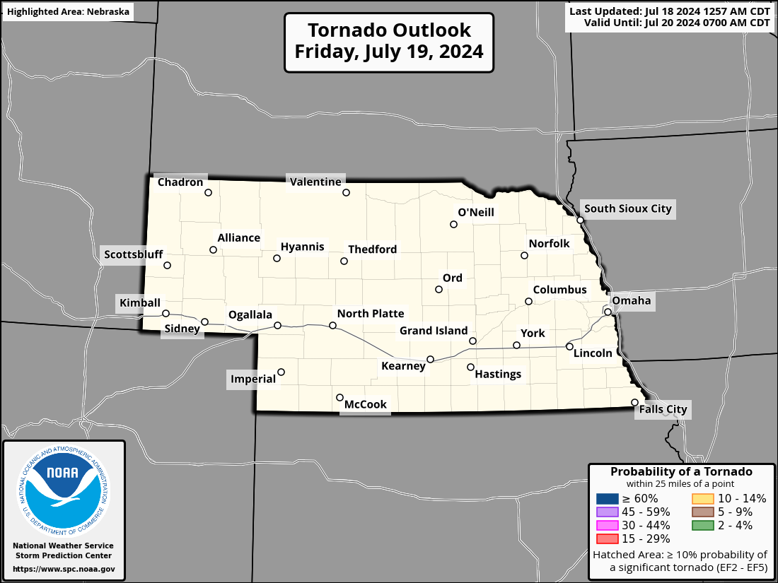
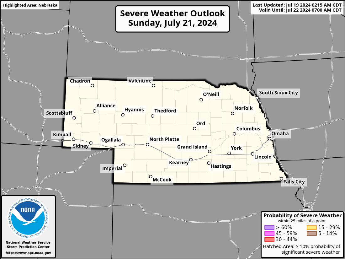
Nebraska Severe Weather Outlooks
| Today / Tonight | Tomorrow / Tomorrow Night | Day 3 | |||||||||||||||||
|
|
|
|||||||||||||||||
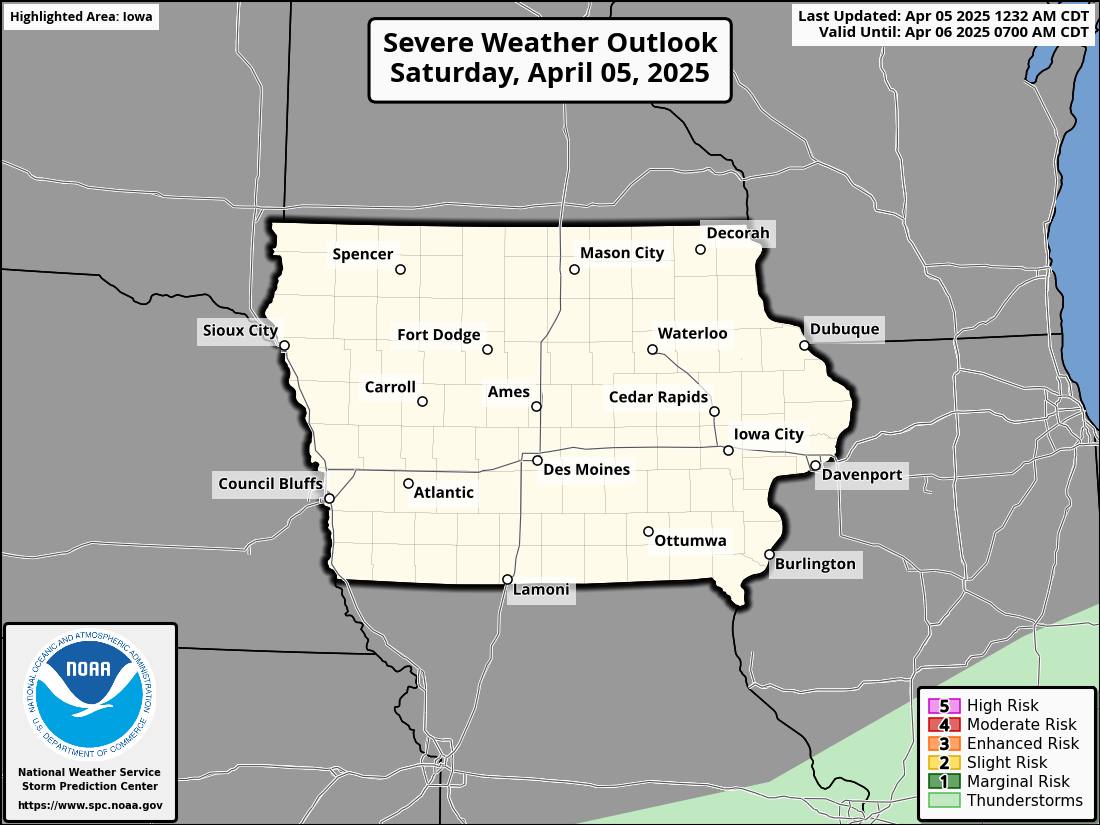
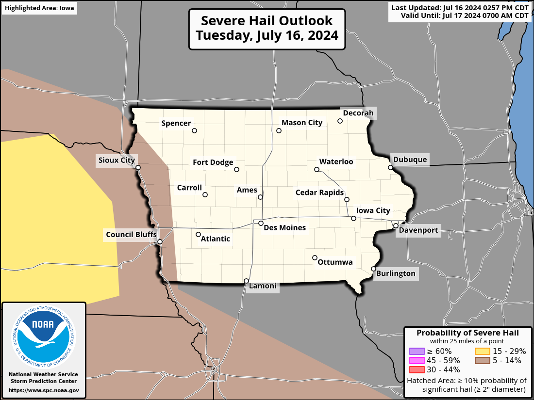
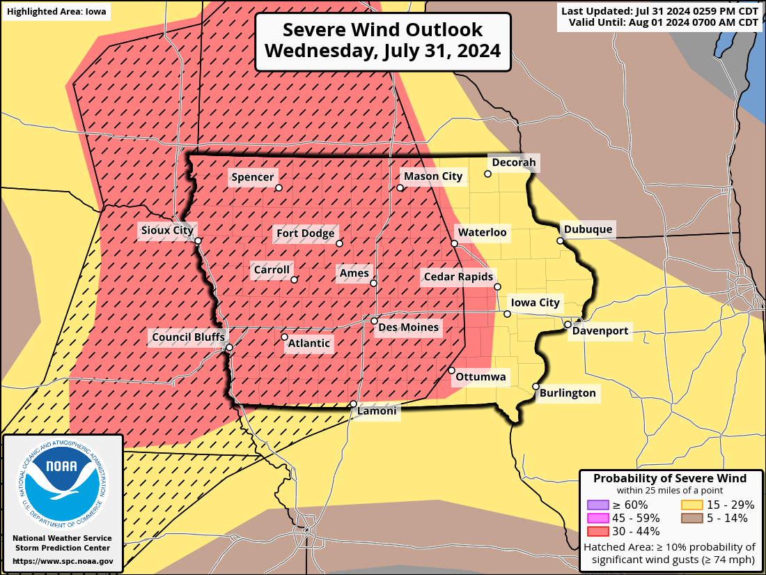
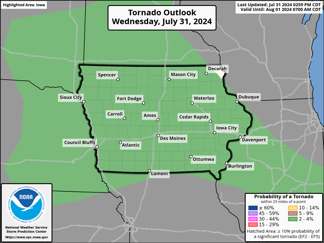
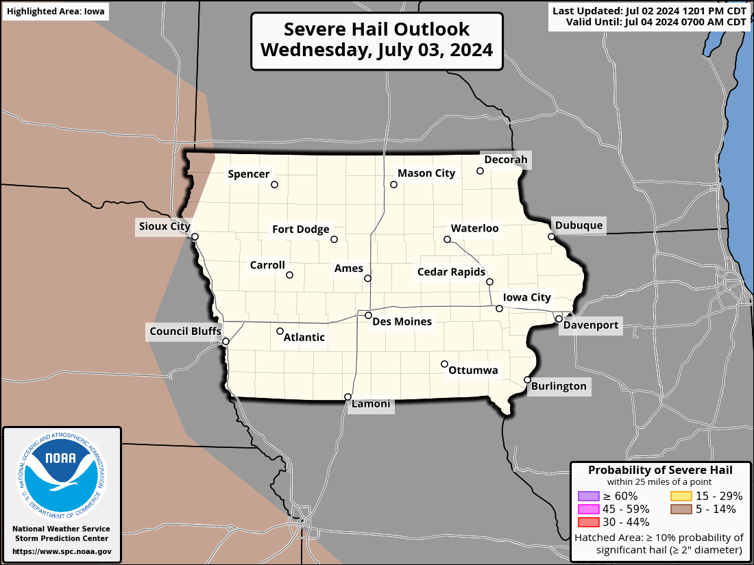
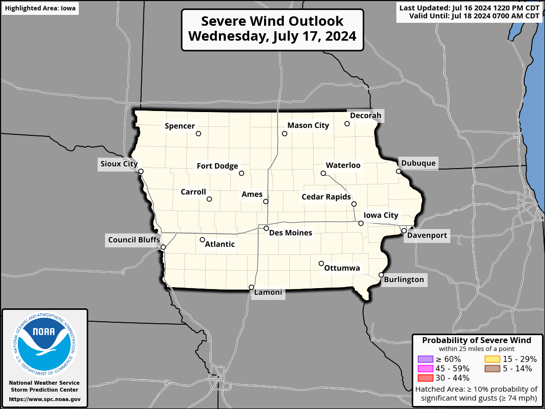
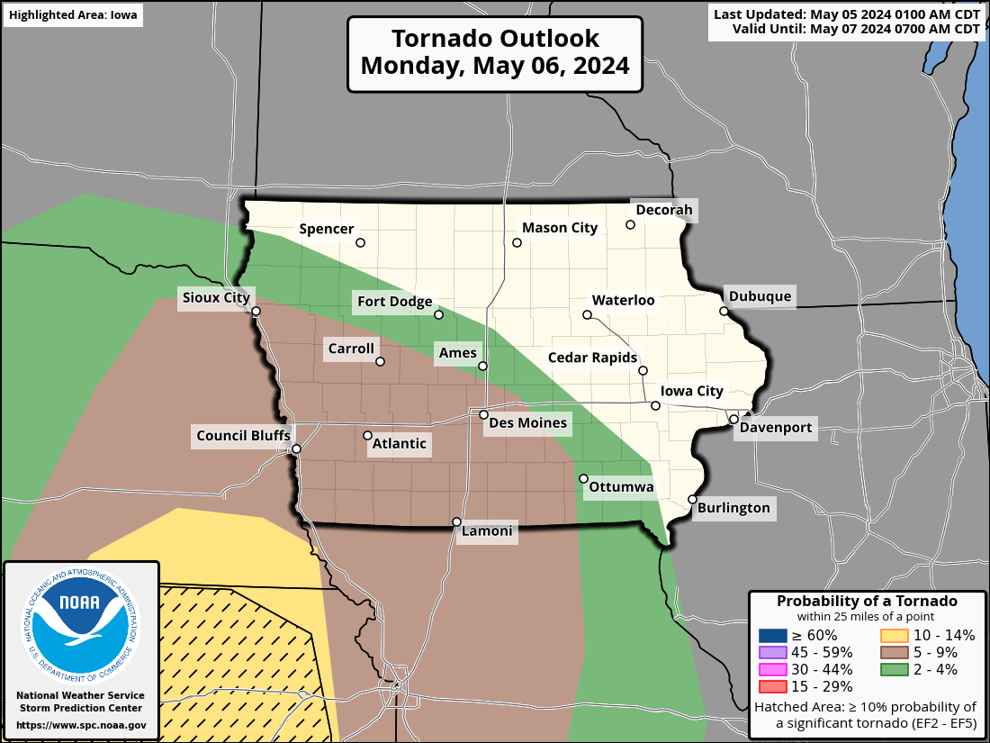
Iowa Severe Weather Outlooks
| Today / Tonight | Tomorrow / Tomorrow Night | Day 3 | |||||||||||||||||
|
|
|
|||||||||||||||||
Other Hazard Outlooks
| Potential Hazards: Days 3-7 | Potential Hazards: Days 8-14 | |||||||||||
|
|
|||||||||||
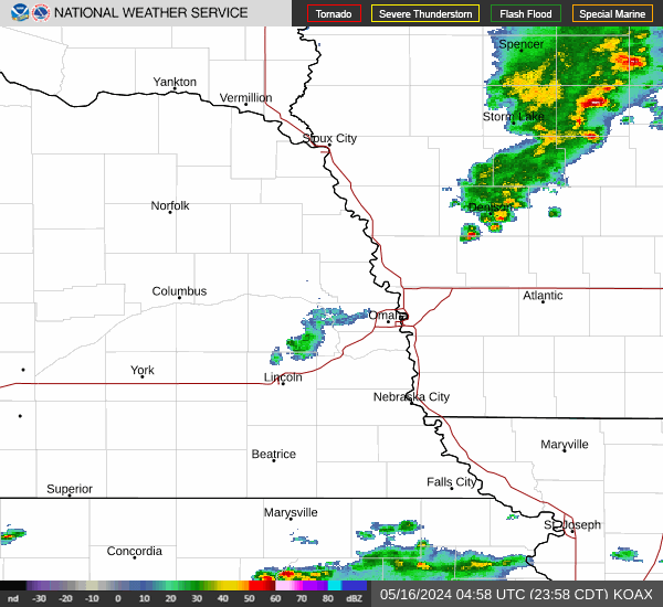
Regional Radar Imagery
| Local, Regional, & National Radar | ||||||||
Omaha |
Regional Radar |
National Radar |
||||||
| Neighboring NWS Radars | ||||||||||
Hastings |
North Platte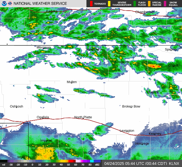 |
Des Moines |
Topeka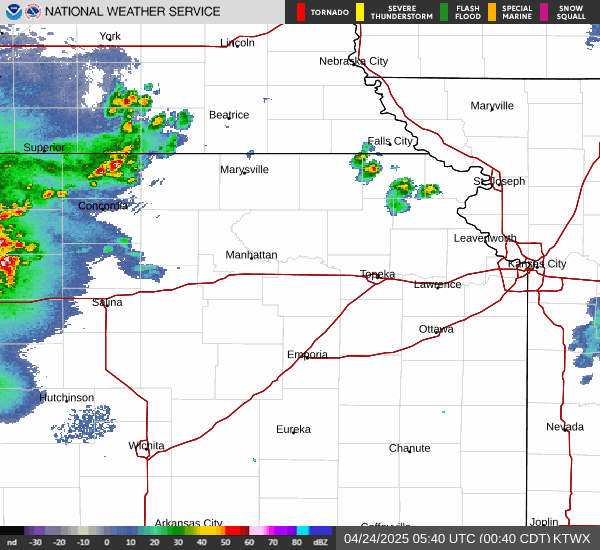 |
Pleasant Hill |
Sioux Falls |
|||||
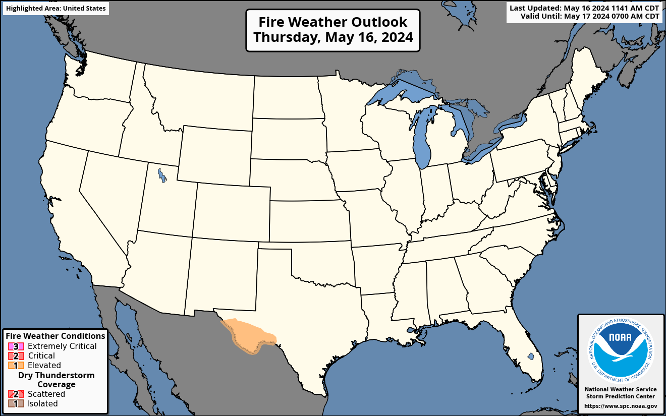
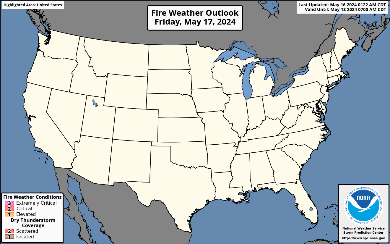
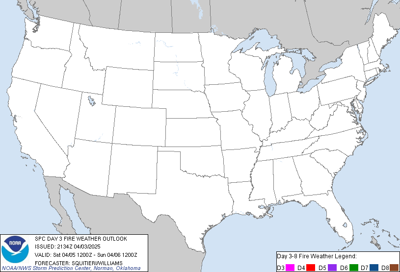
Fire Weather Outlooks (Explanation of Risk Categories)
| Day 1 Outlook | Day 2 Outlook | Days 3-8 Outlooks |
| [details] | [details] | [details] |
 |
 |
 |
Nebraska Fire Weather Outlooks
| Today | Tomorrow | |||
|
|
Iowa Fire Weather Outlooks
| Today | Tomorrow | |||
|
|
Regional Satellite Imagery
| Geo-Color | Visible | Visible/IR Sandwich RGB | Day Cloud Phase RGB |
 |
 |
 |
 |
| Fire Temperature RGB | Hot Spot Detection Infrared | Infared | Water Vapor |
 |
 |
 |
 |
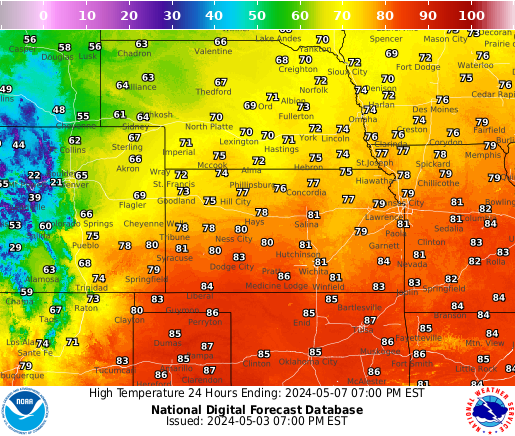
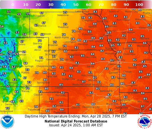
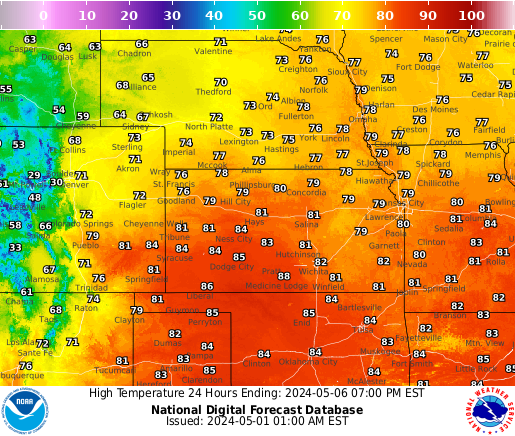
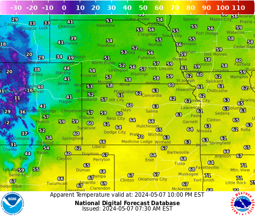
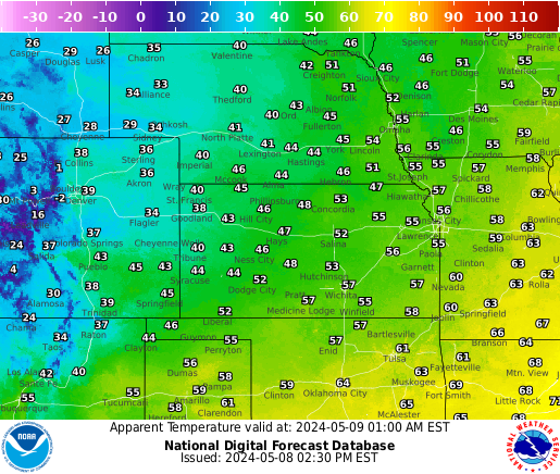
Temperature Forecasts
| Forecast Highs | ||||||
 |
 |
 |
 |
 |
 |
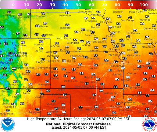 |
| Highs Day 1 | Highs Day 2 | Highs Day 3 | Highs Day 4 | Highs Day 5 | Highs Day 6 | Highs Day 7 |
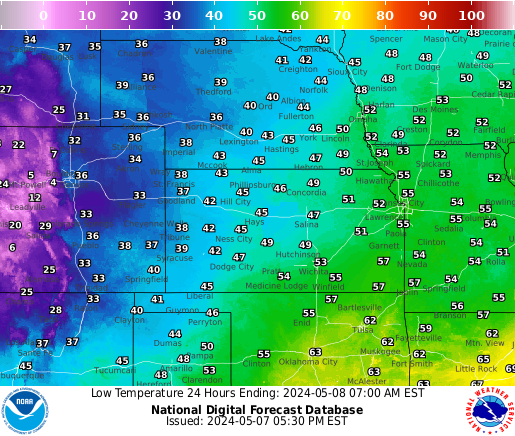
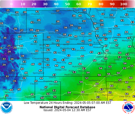
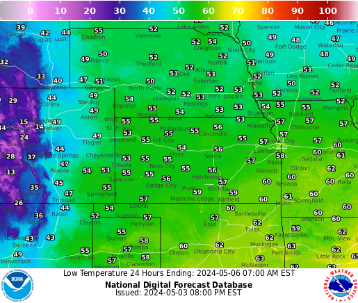
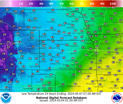
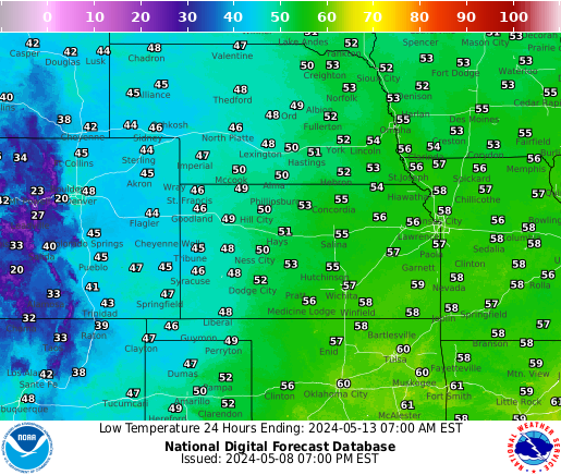
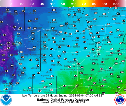
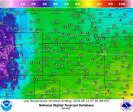
| Forecast Lows | ||||||
 |
 |
 |
 |
 |
 |
 |
| Lows Day 1 | Lows Day 2 | Lows Day 3 | Lows Day 4 | Lows Day 5 | Lows Day 6 | Lows Day 7 |
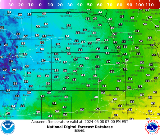
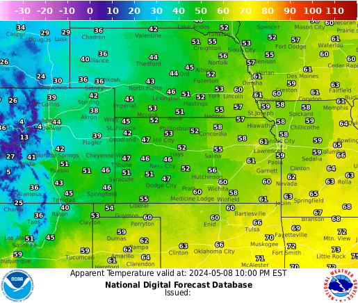
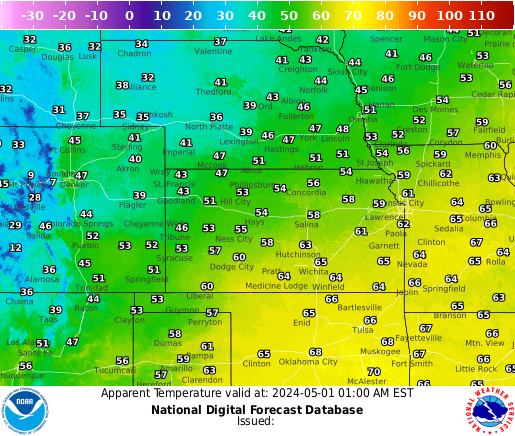
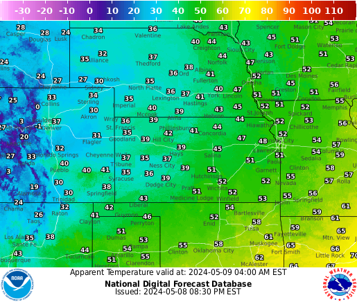
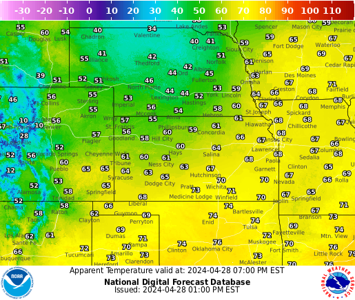
| Forecast Heat Index / Wind Chills | ||||||
 |
 |
 |
 |
 |
 |
 |
| Most Current | 18 hours | |||||
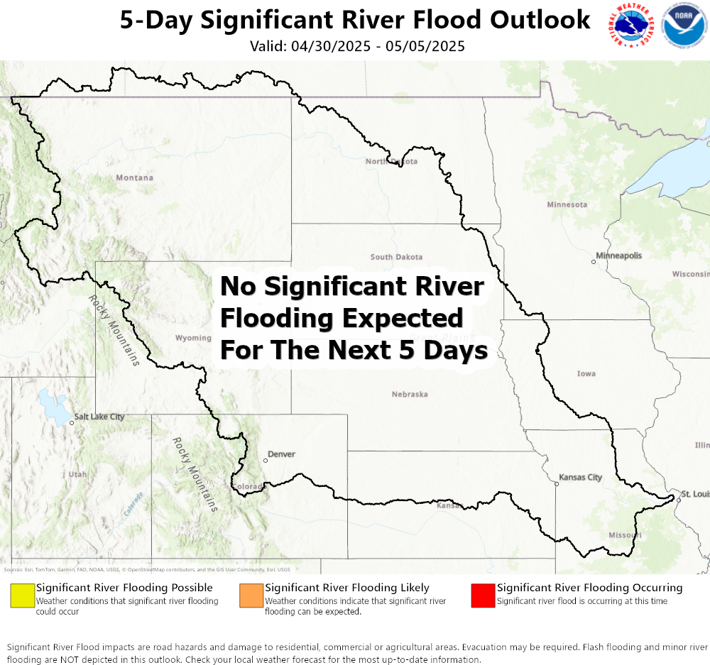
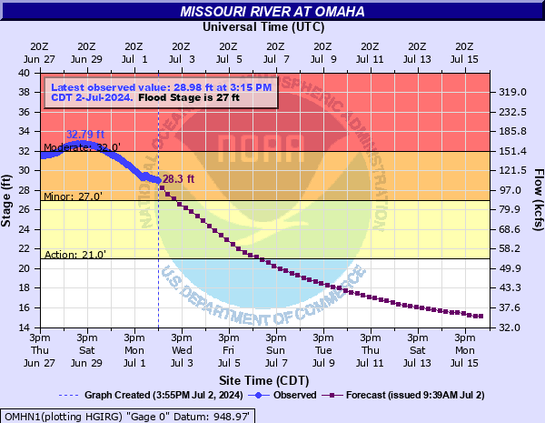
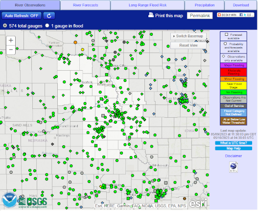
River/Precipitation Monitoring & Forecasts
| River Information | ||||||
 |
 |
 |
 |
|||
| Significant River Flood Outlook |
NWS Omaha River Monitor Webpage |
Current River Levels and Forecasts |
Hydrologic Imagery Visualization
|
|||
| Rainfall Information | |||
 |
|
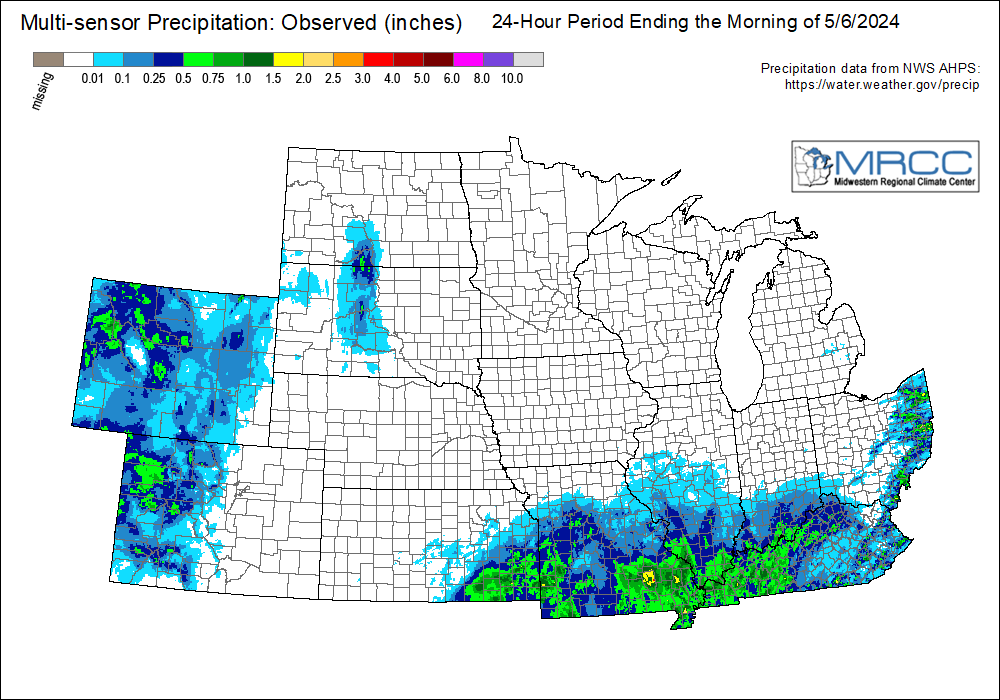 |
 |
| 1-hour Estimated Precip | Storm Total Estimated Precip | Regional 24-hr Rainfall | Regional 7-day Rainfall |
| Precipitation Forecasts - Discussion | |||||
 |
 |
 |
 |
 |
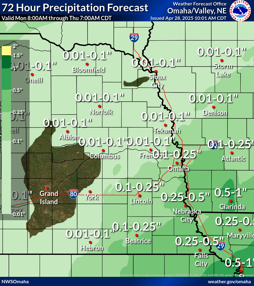 |
| Today | Tomorrow | Day 3 | Days 4-5 | Days 6-7 | Local 72-Hour Forecast |
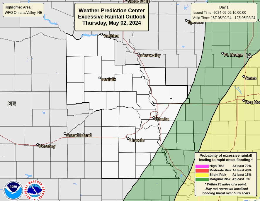
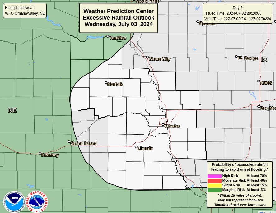
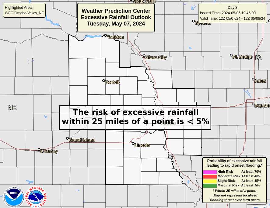
| Local Excessive Rainfall Outlooks | ||||
 |
 |
 |
||
| Today | Tomorrow | Day 3 | ||
| National Excessive Rainfall Outlooks - Discussion | ||||
 |
 |
 |
 |
 |
| Today | Tomorrow | Day 3 | Day 4 (experimental) | Day 5 (experimental) |
| Drought Information | |||
 |
 |
 |
 |
| High Plains Drought Monitor | U.S. Monthly Drought Outlook | U.S. Seasonal Drought Outlook | 30-Day Observed Precipitation |
Snow & Ice Forecasts
| Official NWS Snow & Ice Forecasts ( More Details ) | Snow Amount Probabilities By City | |||||
Snow Forecast |
Ice Forecast |
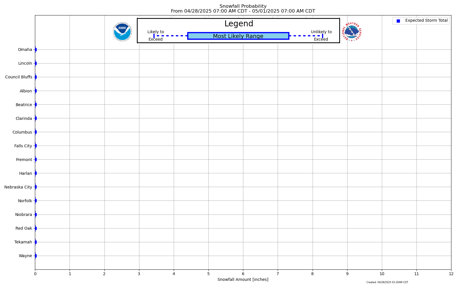 Snowfall Range Probabilities |
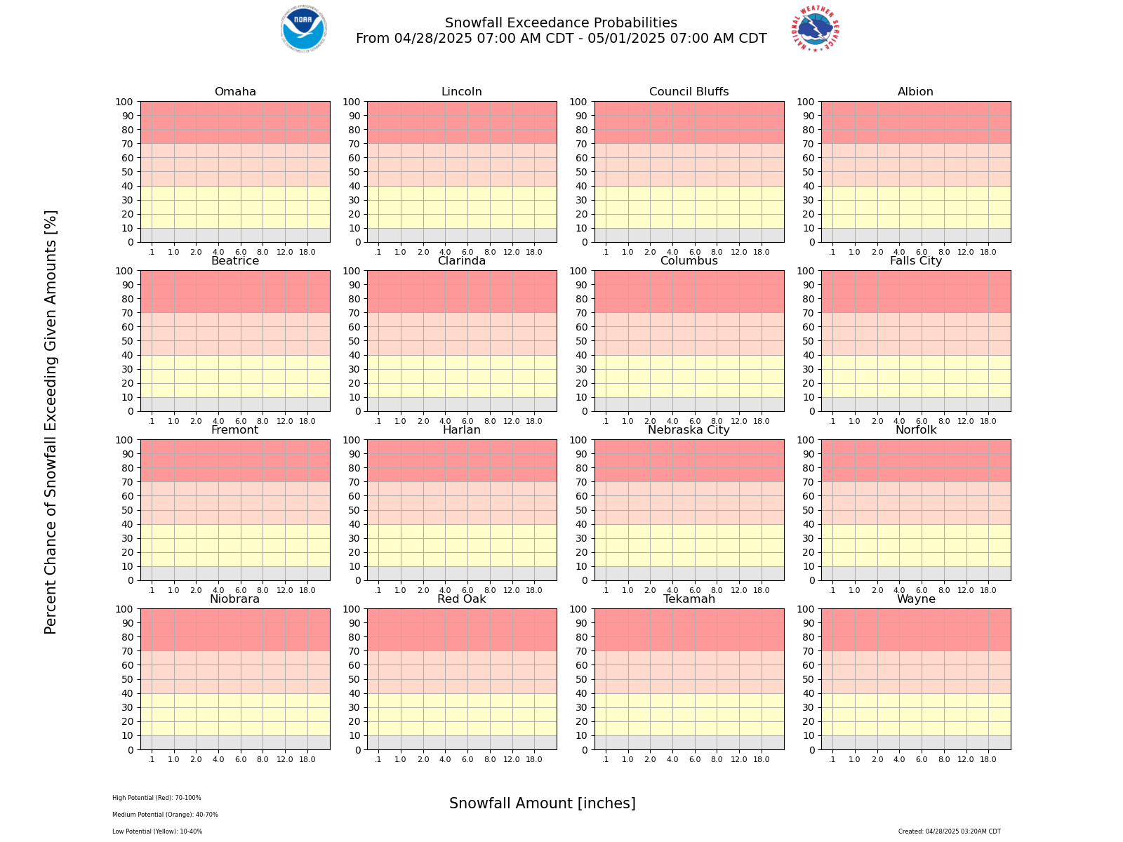 Probability of Exceeding Certain Amounts |
|||
| Percent Chance That Snow Amounts Will Be Greater Than or Equal To... ( More Details ) | |||||||
0.1" |
1" |
2" |
4" |
6" |
8" |
12" |
18" |
Winter Storm Severity Index (More Details)
| Today | Tomorrow | Next Day (Day 3) | ||
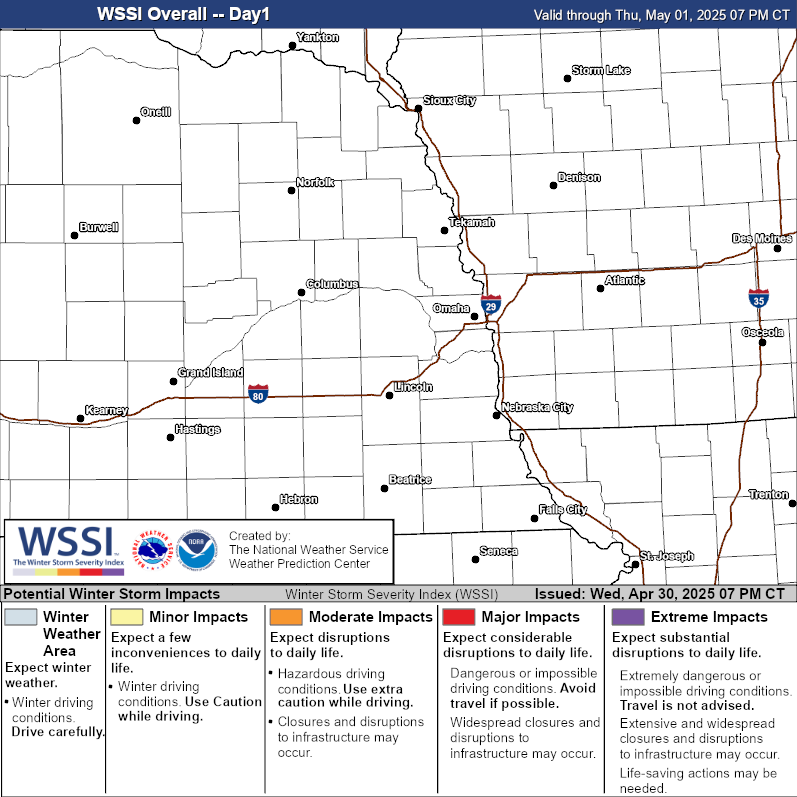 |
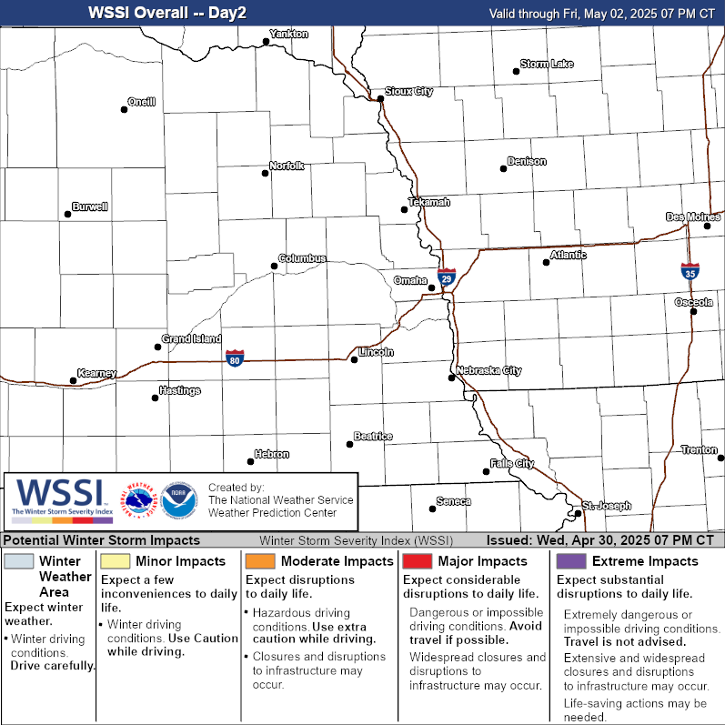 |
 |
Snow Outlooks
| Today | Tomorrow | Next Day (Day 3) | ||
 |
 |
 |
Ice Outlooks
| Today | Tomorrow | Next Day (Day 3) | ||
 |
 |
 |
Weather Story Graphics
| Omaha | Other Local Weather Stories | |||||||||||
Details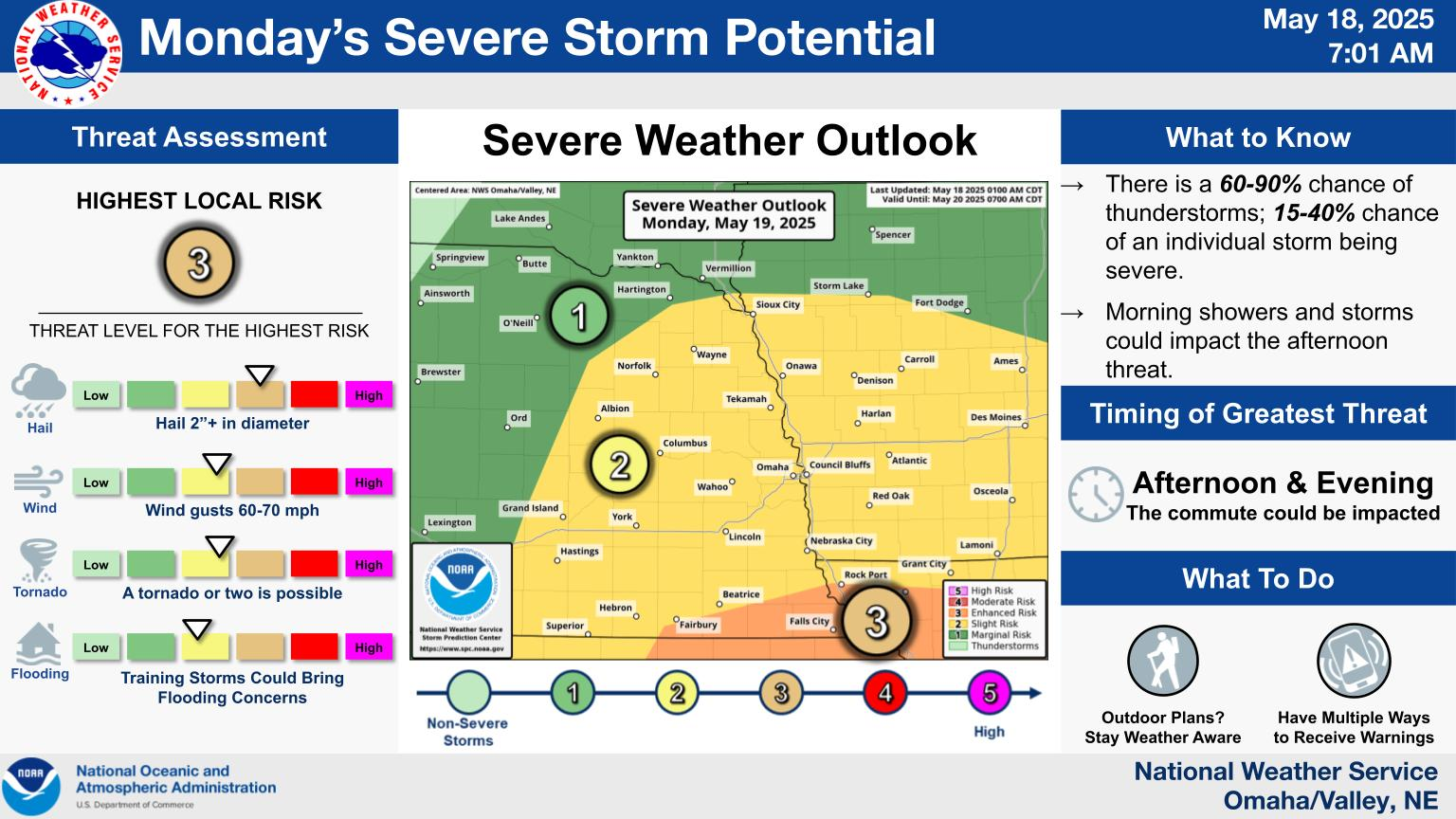 |
|
|||||||||||
Additional Forecasts
| Weather Maps (Animation) | Forecast Radar (HRRR Model) | |
Next 48 hrs |
Next 48 hrs (NOTE: This is model data and may not reflect current forecast) |
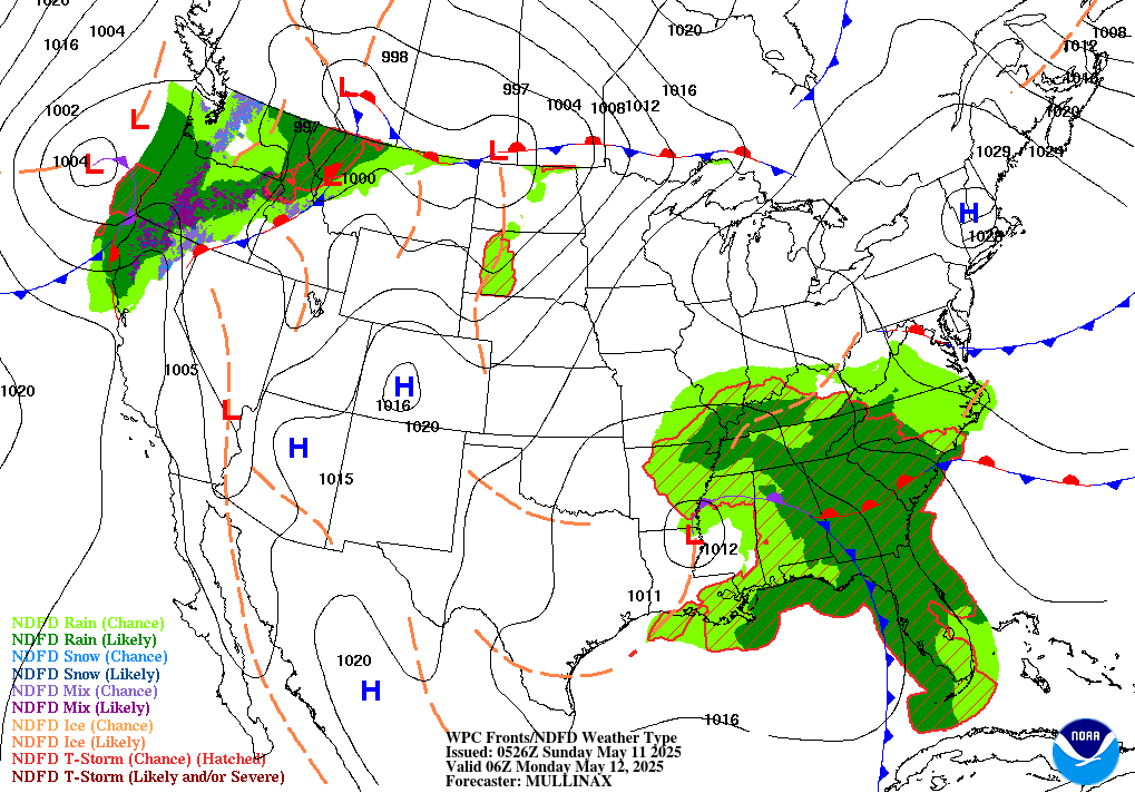
| 6-hr Surface Map | 12-hr Surface Map | 18-hr Surface Map | 24-hr Surface Map |
 |
 |
 |
 |
| 30-hr Surface Map | 36-hr Surface Map | 48-hr Surface Map | 60-hr Surface Map |
 |
 |
 |
 |
| 6-10 Day Temp & Precip Outlook | 8-14 Day Temp & Precip Outlook | Weeks 3-4 Temp & Precip Outlook | |||||
 |
 |
 |
 |
 |
 |
||
Past Weather
| Storm Reports Today | Storm Reports Yesterday | |
 |
 |
| Monthly Avg. Temperature | Monthly Total Precipitation |
 |
 |
Reference Material
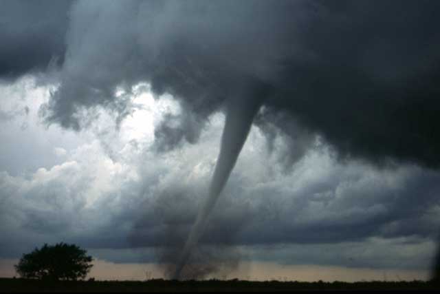
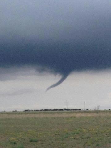
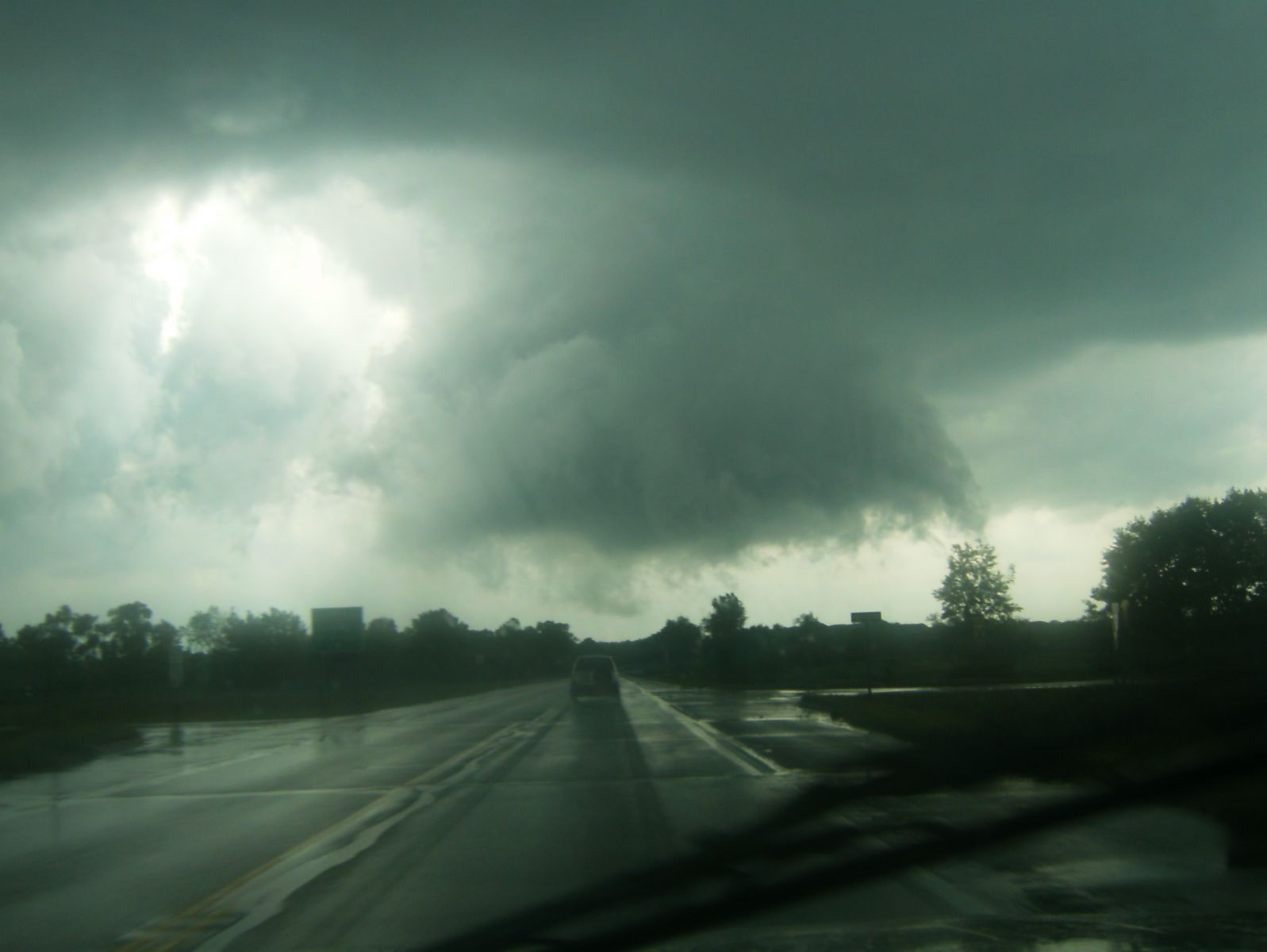
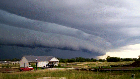
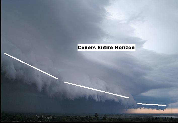
| Tornado / Funnel Clouds | ||||||
|
||||||
| Damaging Wind | ||||||
|
||||||
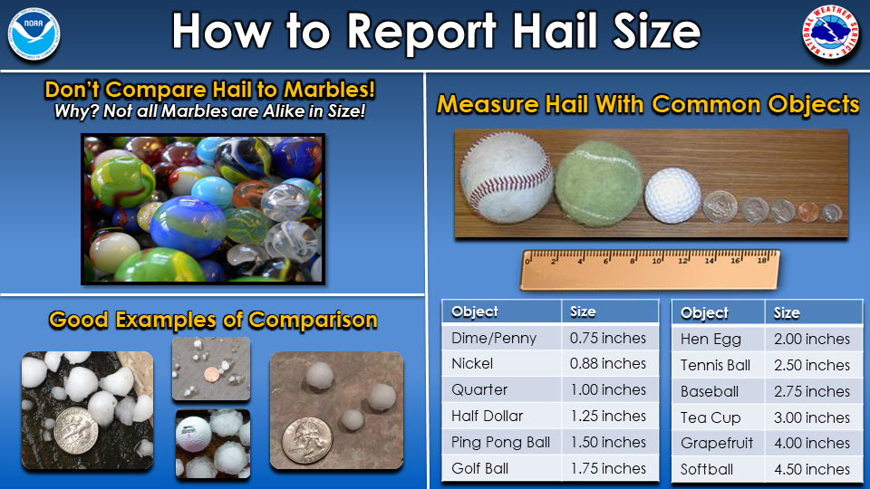
| Hail | ||||||
|
||||||
| Flood | ||||||
|
||||||
| Winter | ||||||
|
Informational Product Links
 |
Contact your local NWS office for additional details | |