
A slow moving front will produce a threat for heavy rainfall and severe weather from New Mexico into the western High Plains through the weekend. Heavy rainfall is also expected this weekend in South Florida. The Bering Sea storm continues to bring heavy precipitation, strong winds, and minor to major coastal flooding through the weekend across western Alaska. Read More >
Omaha/Valley, NE
Weather Forecast Office
CURRENT ROAD CONDITIONS
click on state for road information or use table found below map
National Road Information
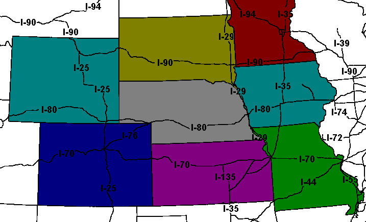
| NEBRASKA
In-State: 511 Out of State: |
IOWA
In-State: 511 Out of State: |
SOUTH DAKOTA
In-State: 511 Out of State: |
WYOMING
888-996-7623 |
| COLORADO
303-639-1111 |
KANSAS
800-585-7623 |
MISSOURI
800-222-6400 |
MINNESOTA
In-State: 511 Out of State: |
Additional National Road Information
Back to the Winter Weather Preparedness
Warnings/Hazards
Forecast Discussion
Winter Weather
Severe Weather
Fire Weather
Drought
Storm Prediction Center
SubmitReport
Rivers And Lakes
River Forecasts
Missouri River Overview
Platte River Overview
Elkhorn River Overview
Ice Jam Risk
Local Information
Latest Briefing Packet
Weather Monitor
Winter Monitor
Preparedness
Storm Spotters
About Us
Other Useful Links

US Dept of Commerce
National Oceanic and Atmospheric Administration
National Weather Service
Omaha/Valley, NE
6707 North 288th Street
Valley, NE 68064-9443
402-359-5166
Comments? Questions? Please Contact Us.


 Follow us on X
 Follow us on Facebook
 Follow us on YouTube
 OAX RSS Feed