Omaha/Valley, NE
Weather Forecast Office
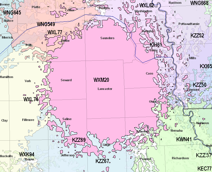
Below is a table listing the counties served by the WXM-20 Lincoln, NE transmitter.
| County | SAME (or FIPS) Code |
|---|---|
| BUTLER, NE | 031023 |
| CASS, NE | 031025 |
| GAGE, NE | 031067 |
| JOHNSON, NE | 031097 |
| LANCASTER, NE | 031109 |
| OTOE, NE | 031131 |
| SALINE, NE | 031151 |
| SARPY, NE | 031153 |
| SAUNDERS, NE | 031155 |
| SEWARD, NE | 031159 |
Warnings/Hazards
Forecast Discussion
Winter Weather
Severe Weather
Fire Weather
Drought
Storm Prediction Center
SubmitReport
Rivers And Lakes
River Forecasts
Missouri River Overview
Platte River Overview
Elkhorn River Overview
Ice Jam Risk
Local Information
Latest Briefing Packet
Weather Monitor
Winter Monitor
Preparedness
Storm Spotters
About Us
Other Useful Links
US Dept of Commerce
National Oceanic and Atmospheric Administration
National Weather Service
Omaha/Valley, NE
6707 North 288th Street
Valley, NE 68064-9443
402-359-5166
Comments? Questions? Please Contact Us.

