
Heavy lake effect snow, gusty winds, and localized blizzard conditions will persist through Thanksgiving near and downwind of the Great Lakes. Rain and mountain snow are forecast for the Pacific Northwest. Confidence is increasing for another winter storm to develop over the northern and central Rockies Friday and track across the central Plains through the Midwest and Great Lakes this weekend. Read More >
Last Map Update: Thu, Nov 27, 2025 at 8:00:12 pm PST
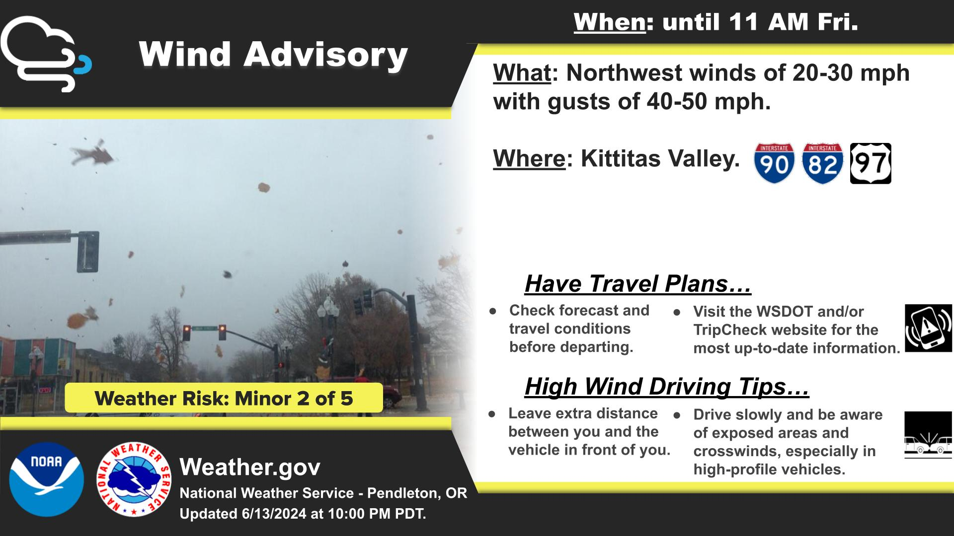
|
Text Product Selector (Selected product opens in current window)
|
|





 MRMS Radar Imagery
 Radar
Radar Satellite
 Graphical Forecasts
 Forecast Discussion
 Current Weather
 Climate
 Recent Weather
 Hour by Hour Forecast
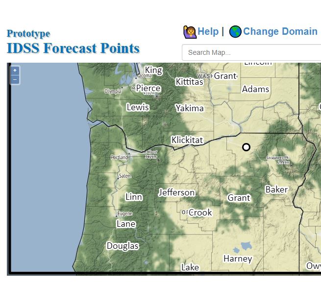 Alternate Point Forecast
 Forecast Maps
 Fire Weather
 Winter Weather
 Precipitation Amount Potential
 Rivers & Lakes
 Drought
 Air Quality
 Follow us on X
 Follow us on Facebook
 Follow us on YouTube
 PDT RSS Feed