
An atmospheric river moving into the region this week is expected to make for heavy rainfall along the Cascades. Runoff from this rain, combined with lowland rain, will make for rises along area rivers. These rivers are expected to at least reach Minor and Moderate stage this week. Many rivers are expected to peak Today through Friday, with a few exceptions like Yakima at Kiona continuing to peak through Saturday. Area Flooding is expected across portions Yakima and Kittitas Counties. Flooding of rivers, creeks, streams, and other low-lying and flood-prone locations is imminent or occurring. The major concern will be river flooding along the Yakima and Naches Rivers. Flooding along rivers will bring swift and cold waters, while bank erosion will also be possible. River flooding may also lead to debris being deposited over roadways/bridges as water moves over these areas.
Practice safe driving habits if encountering a flooded road and remember the saying, "turn around and don't drown!"
For more complete information, please visit the website for the Pendleton Weather Forecast Office: https://www.weather.gov/pdt/


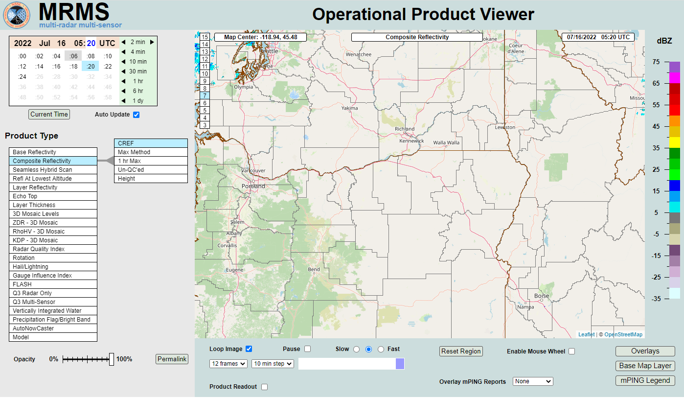 MRMS Radar Imagery
 Radar
Radar Satellite
 Graphical Forecasts
 Forecast Discussion
 Current Weather
 Climate
 Recent Weather
 Hour by Hour Forecast
 Alternate Point Forecast
 Forecast Maps
 Fire Weather
 Precipitation Amount Potential
 Rivers & Lakes
 Drought
 Air Quality