
Dangerous heat will expand from the Gulf Coast into the Southern Plains and Desert Southwest through week's end. Additional extreme heat impacting the Pacific Northwest will shift to the northern Plains by the weekend. Tropical Storm Bertha is expected to continue to impact portions of the northern Gulf Coast from the western Florida Panhandle to southeastern Louisiana through tonight. Read More >

| Reset Page | Interactive Observations and Hazards | Snow and Ice Forecasts / Probabilities |
 |
|
|
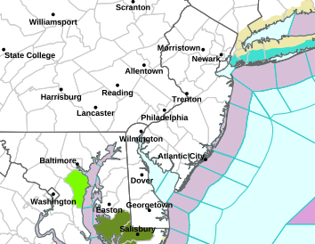
Min Apparent Temp Day 1 Delmarva |
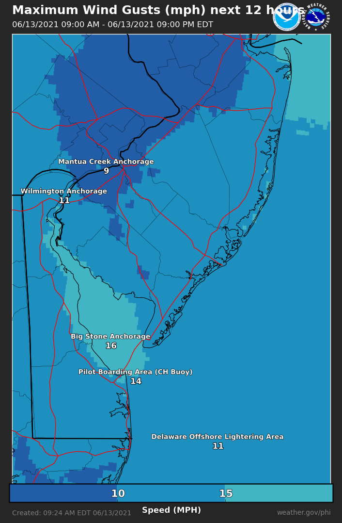
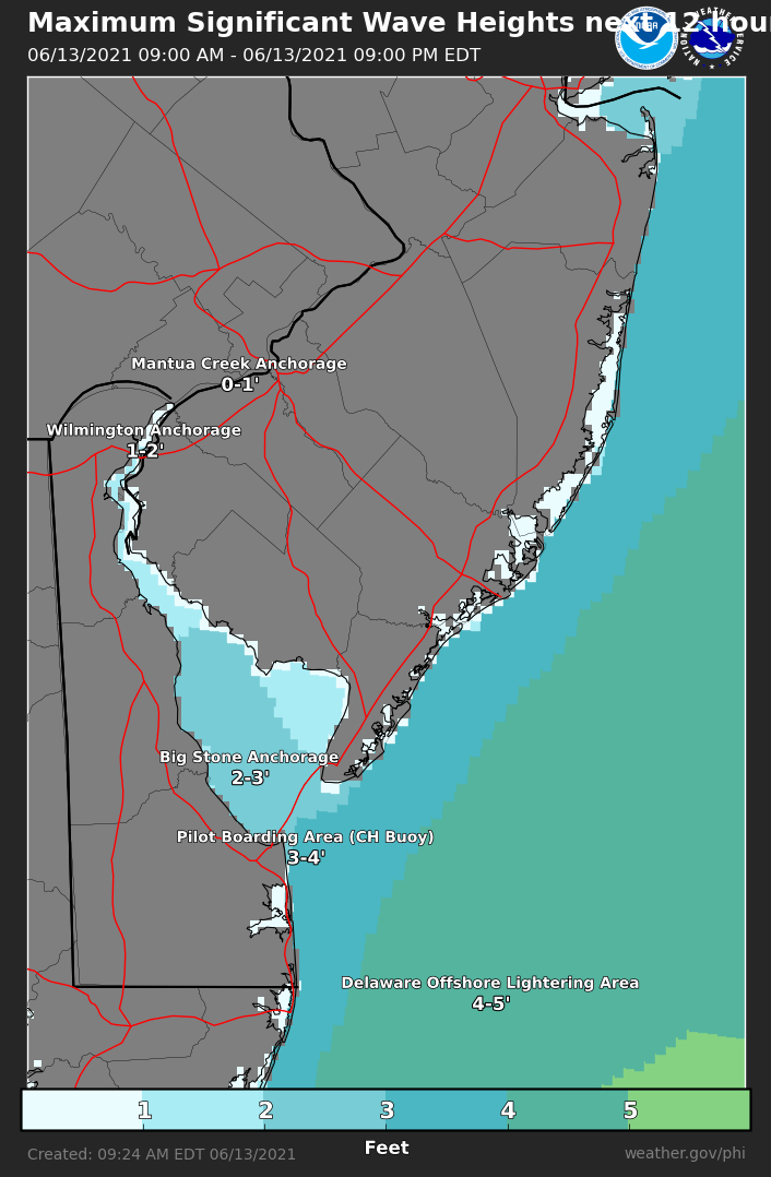
Observations: |
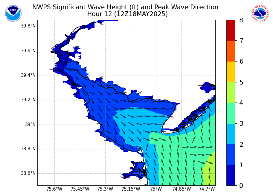
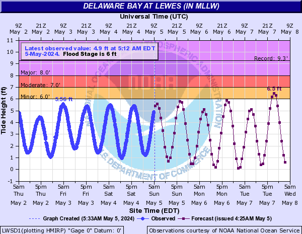
Total Water Level: |
Hourly Weather Graph: |
|
 |
 |
 |
 |
|
Frequently Requested Products |
|
|
Frequently Requested Text Products: (Note: Some links may need to be opened in a new window. Use right-click on mouse to do so)
Mount Holly Decision Support Services:
"Provide decision makers with critical environmental data and forecasts to allow them to better protect life and property."
Questions/Feedback: wfophi.webmaster@noaa.gov
|
|


 Coastal Flood
 Marine Forecasts
 Text Products
 Climate Information
 Skywarn
 Submit Storm Report
 Weather Event Archives
 Forecast Discussion
 Emergency Managers
 Briefing Page