
Heavy thunderstorms will continue areas of excessive rainfall and locally considerable flooding over parts of the southern Plains into the mid-Mississippi River Valley through Friday. Heavy to excessive rainfall may bring flash and urban flooding, along with isolated riverine flooding to a part of the Upper Midwest Thursday. Read More >
Summary | Forecast | Observed Snow and Wind | Travel Center | Monitoring & Reporting | Safety
SYNOPSIS: An Arctic cold front will blast south along and east of the Continental Divide this afternoon and evening. Areas of light snow, strong north to northwest wind and bitter cold wind chill temperatures will follow the front into Monday morning.
IMPACTS: Strong north wind with gusts over 55 mph will will pose a blowover risk to high-profile lightweight vehicles on Interstates 25 and 90 across Johnson County, and across the Big Horn Basin late this afternoon through Monday morning. These winds combined with plunging temperatures will also result in bitter cold wind chill temperatures of zero to 10 below across the lower elevations of central Wyoming Monday morning.
Wind Chill temperatures of 20 to 30 below zero in the central mountains
Wind Chill temperatures of possibly 40 below over Powder River Pass and the higher elevations of the Bighorn Mountains.
Rain and a rain snow mix will fall ahead of the front in northern portions of the Bighorn Basin and in Johnson County late this afternoon, before transitioning to all snow with the passage of the front. This will cause roads to already be wet, so although snow amounts will be light, rapidly falling temperatures this evening could result in a flash freeze on road surfaces and will result in road surfaces becoming icy and extremely slick. Blowing snow will further add to this tonight into Monday morning; travel is expected to be difficult and hazardous.
|
|
|
|
|
|
|
|
High Wind Statement |
|
Wind and Wind Chill Temperature Forecasts
 |
 |
|
Peak Wind Gust Forecast from |
Coldest Wind Chill Temperatures |
|
Snow Totals and Wind Reports will be posted and updated here once the storm occurs |
|
|
Summary | Forecast | Observed Snow and Wind | Travel Center | Monitoring & Reporting | Safety
|
|
|

 |
 |
| For more detailed Wyoming road conditions, please visit WYDOT at: wyoroad.info | |
| Road Conditions for Surrounding States | ||
 |
 |
 |
 |
 |
 |
|
|
|
|
|
 |
 |
 |
 |
|
|
|
|
|
 |
 |
 |
 |
|
|
|
|
|
 |
 |
 |
 |
|
|
|
|
|
 |
 |
 |
 |
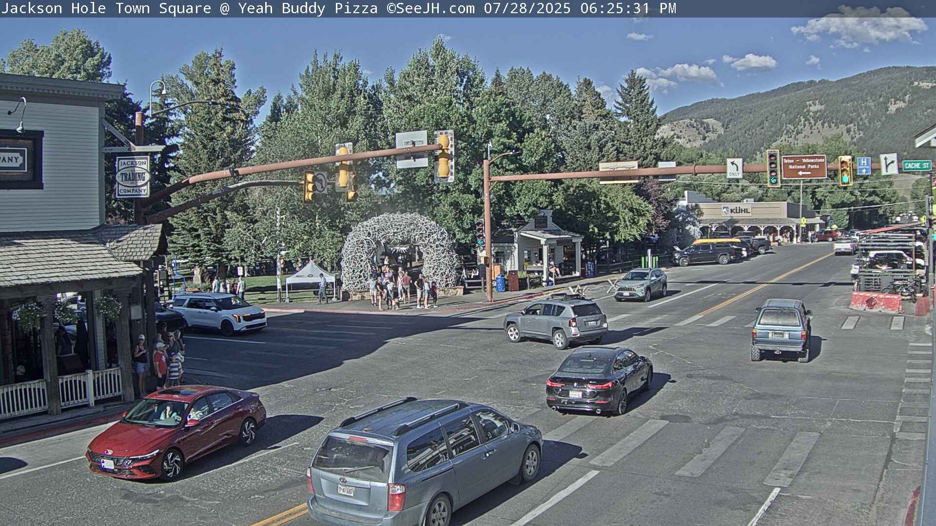
If you plan to travel, we recommend checking road conditions along your route and staying on top of road closures here. If you are on Twitter, follow the hashtag: #WyoRoad (or look below) for the latest weather affecting roads and road conditions in and around Wyoming.
| Tweets by @NWSRiverton | A Twitter List by NWSRiverton |
|
Get the play-by-play on this storm and contribute your own snow reports to #wywx |

Summary | Forecast | Observed Snow and Wind | Travel Center | Monitoring & Reporting | Safety
PLEASE SEND US YOUR SNOW REPORTS (CLICK HERE)
 |
Monitor our Weather Summary Page for current Warnings, Watches, and Advisories. What's the difference? |
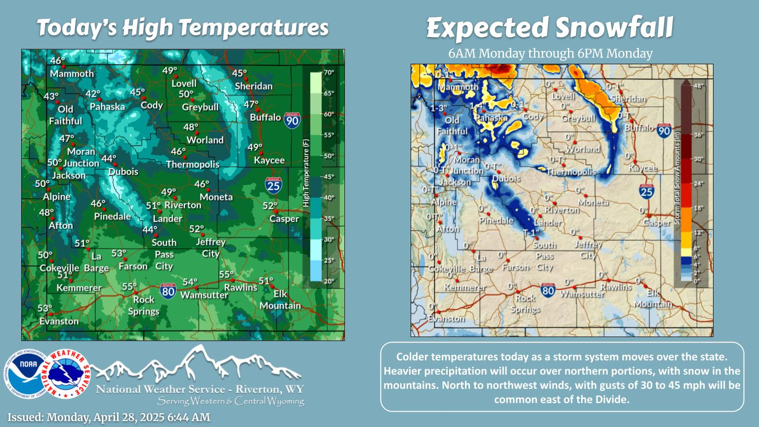 |
Check the latest Weather Story graphic for an overview of the area forecast. |
 |
Check out what's on the radar. Riverton | Pocatello | Cheyenne | Billings | Salt Lake City | Rapid City | Mosaic |
 |
Submit storm reports/images and keep up to date with us on Facebook! |
 |
Submit storm reports/images and keep up to date with us on Twitter! |
 |
Other reporting methods include email (nws.riverton@noaa.gov), or by phone at 1-800-211-1448. |
 |
Check the latest Public Information Statement for the latest storm reports. |
 |
Monitor current road conditions by visiting the Wyoming Dept. of Transportation (WYDOT) or by calling 5-1-1. |
 |
Get current road conditions, web camera images, road alerts, and much more on your mobile device by downloading the Wyoming 511 Mobile App. |
Summary | Forecast | Observed Snow and Wind | Travel Center | Monitoring & Reporting | Safety
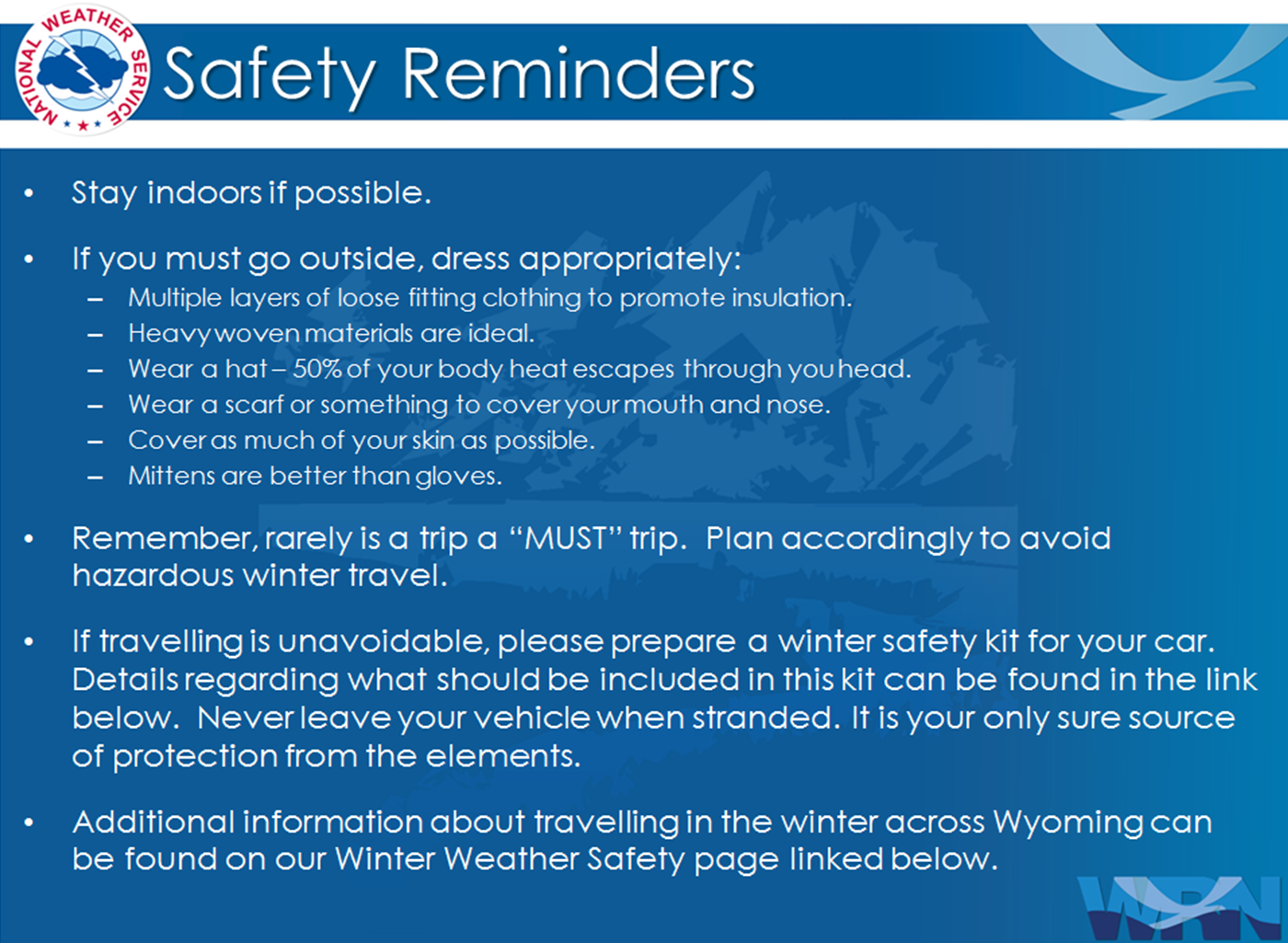
Winter Safety Kit | Winter Weather Safety
 |
Learn more about the National Weather Service's efforts to build a Weather-Ready Nation! |